The best running trails around Nationalpark Donauauen
4.4
(1932)
83,714
runners
10
runs
Jogging around Nationalpark Donauauen offers routes through Central Europe's last great floodplain landscape. This expansive region, shaped by the freely flowing Danube River, features over 9,300 hectares of diverse habitats. Runners will find themselves amidst approximately 65% alluvial forest, 15% meadows, and 20% water bodies, providing a dynamic natural environment. The park's unique setting supports a rich biodiversity, making it an engaging location for outdoor activity.
Best jogging routes around Nationalpark Donauauen
- The most popular jogging route is Trail to…
Last updated: July 2, 2026
4.9
(8)
108
runners
9.07km
00:56
20m
20m
Moderate run. Good fitness required. Mostly paved surfaces. Suitable for all skill levels.
3.1
(16)
89
runners
11.8km
01:13
20m
20m
Moderate run. Good fitness required. Mostly paved surfaces. Suitable for all skill levels.

Sign up for free
28
runners
3.99km
00:25
10m
10m
Easy run. Great for any fitness level. Mostly paved surfaces. Suitable for all skill levels.
5.0
(3)
27
runners
8.79km
00:54
20m
20m
Moderate run. Good fitness required. Mostly paved surfaces. Suitable for all skill levels.
16
runners
Moderate run. Good fitness required. Mostly paved surfaces. Suitable for all skill levels.
Get access to more routes and recommendations from other explorers.
Sign up for free
Already have an account?
Our route recommendations are based on thousands of hikes, rides, and runs completed by other people on komoot.
Start today with a free account
Your next adventure awaits.
Login or Signup
Popular around Nationalpark Donauauen

Central Alps Trail Eastern Section – Discover Austria
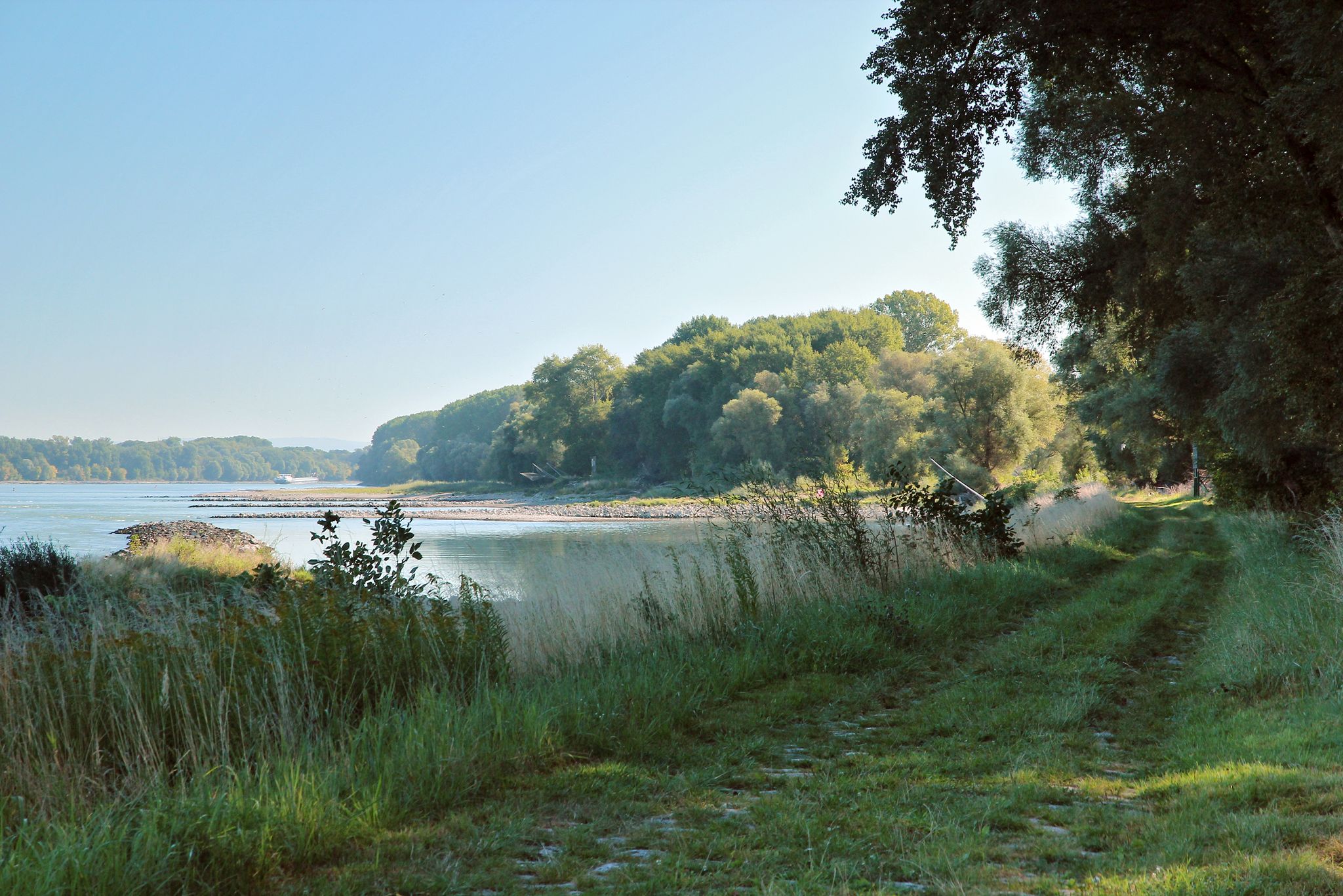
From Vienna to the state border at Hainburg - Tours in the National Park Donau-Auen
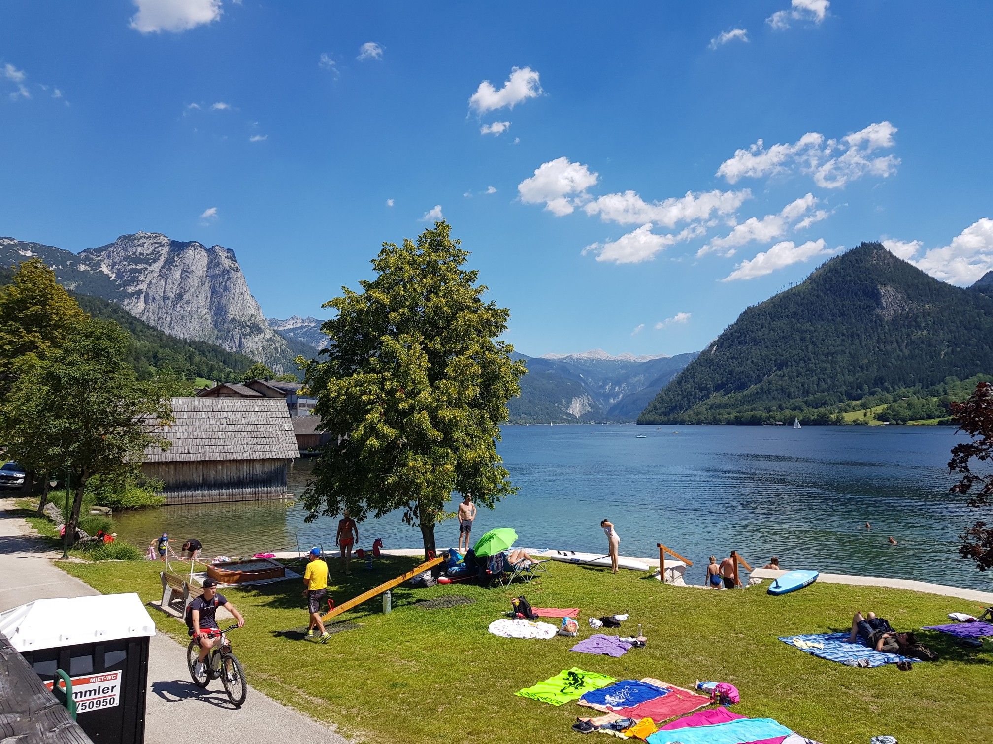
Austria's sensational swimming lakes
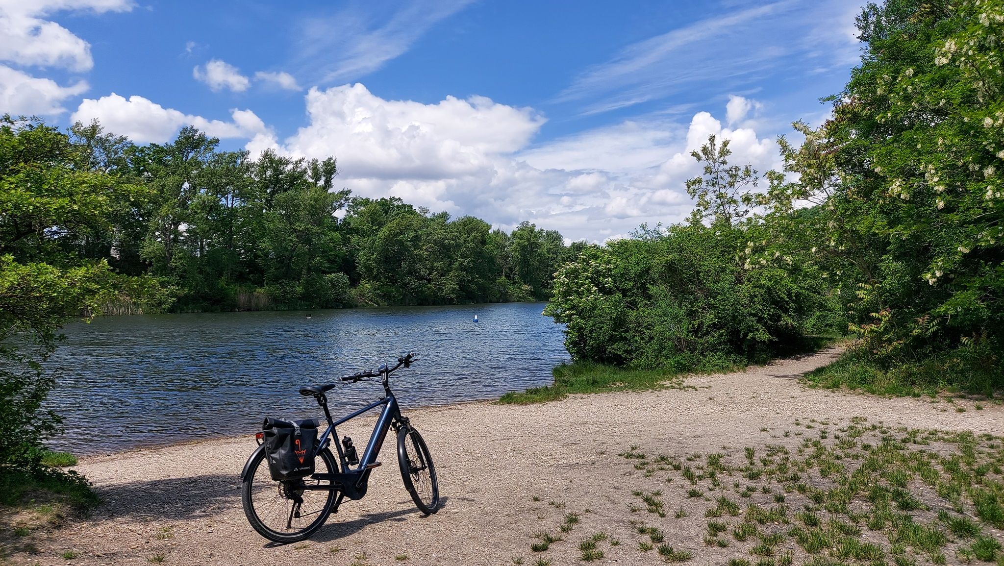
The most beautiful bathing spots around Vienna
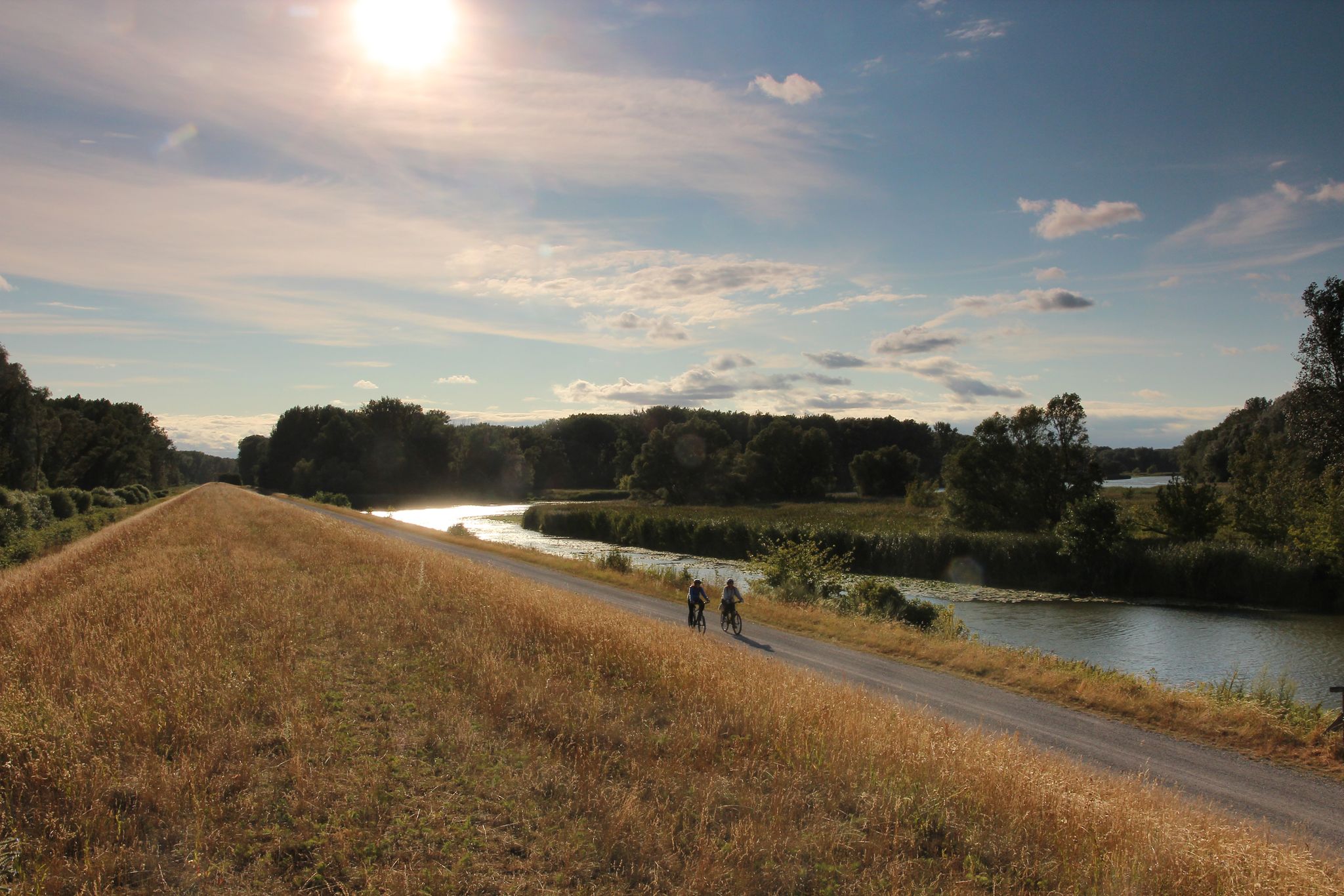
Radrouten im Nationalpark Donau-Auen
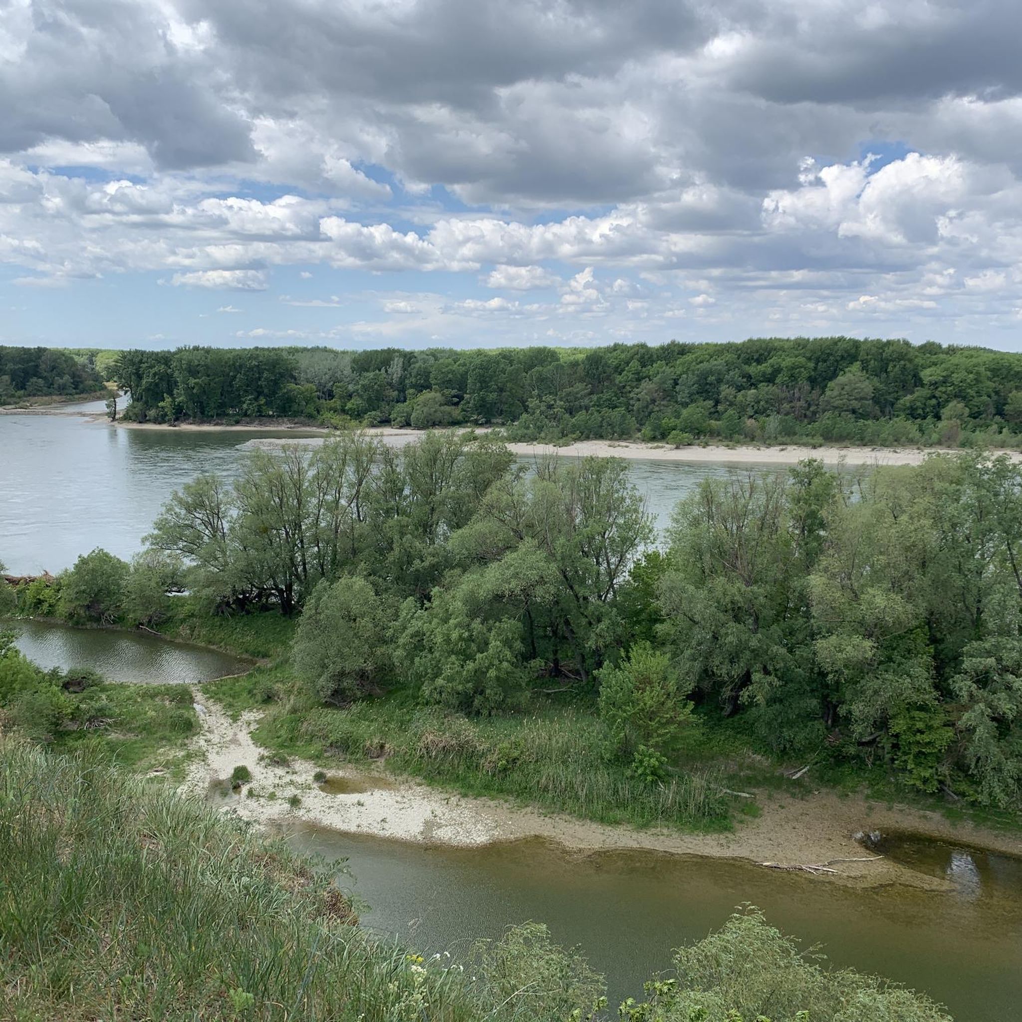
Hiking around Nationalpark Donauauen
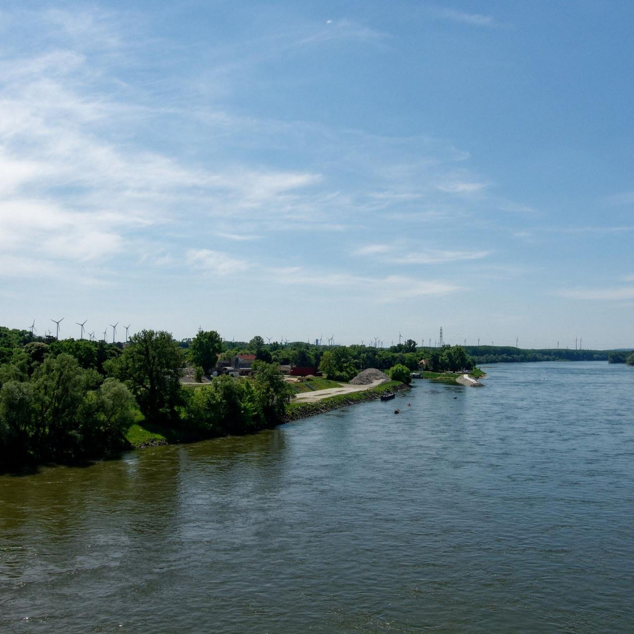
Cycling around Nationalpark Donauauen
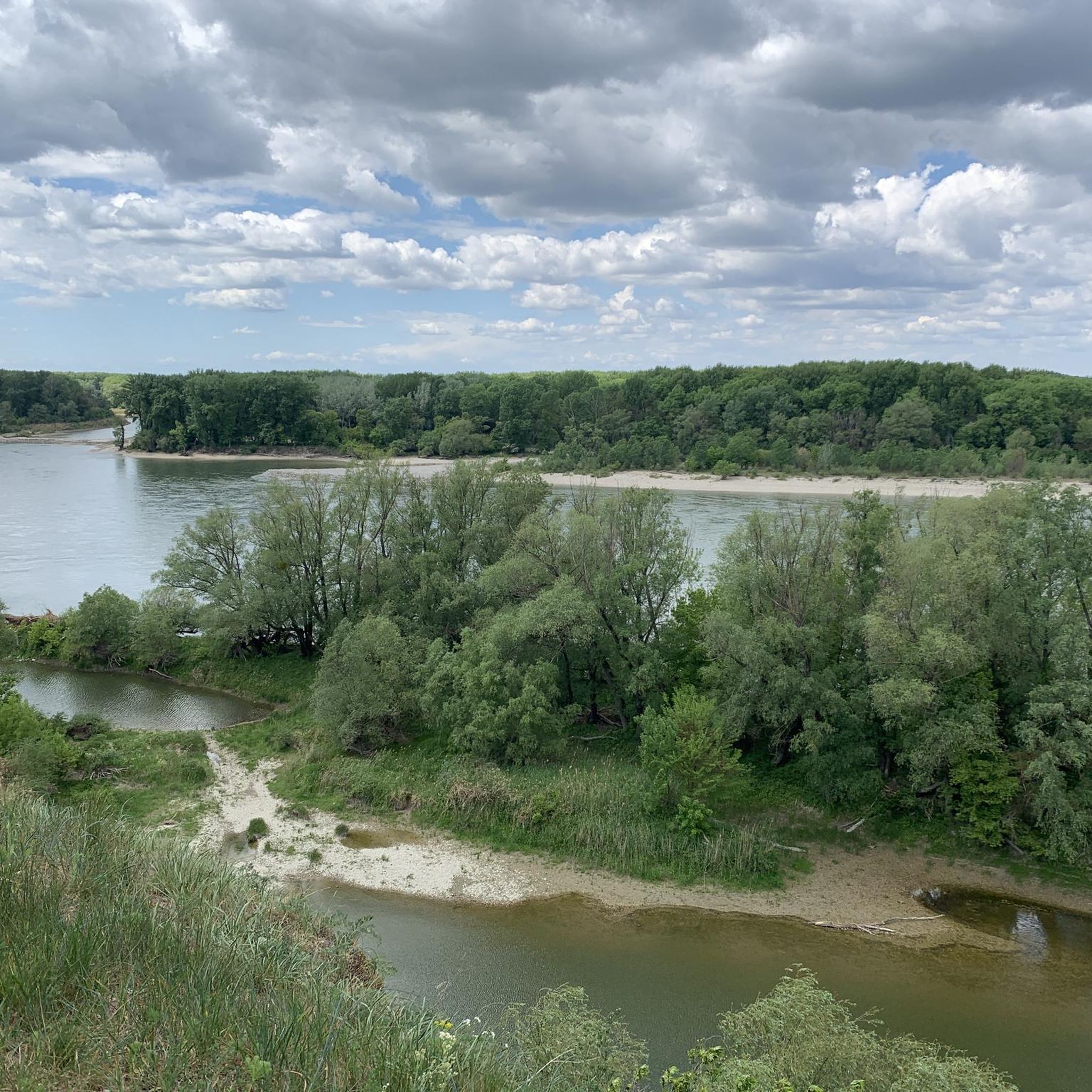
Road Cycling Routes around Nationalpark Donauauen
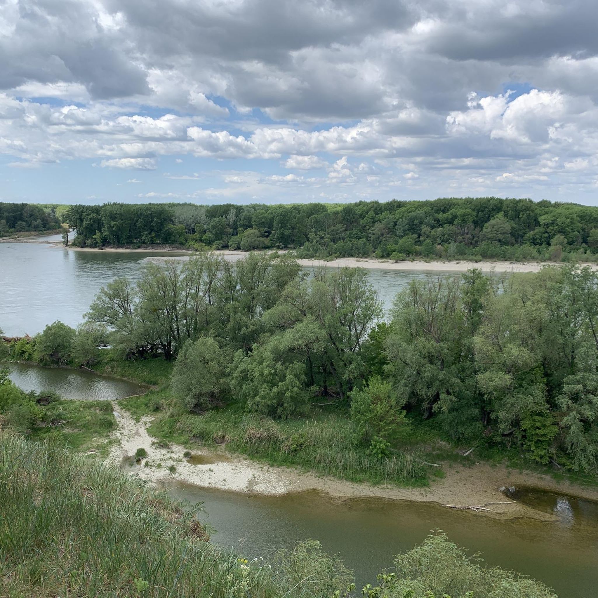
MTB Trails around Nationalpark Donauauen

Gravel biking around Nationalpark Donauauen
Other adventures around Nationalpark Donauauen


Tips from the Community

To commemorate the events of the Pentecost days in 1809 for later generations, memorial stones were erected at the then important points of the French advance in the Lobau - popularly known as "Napoleon Stones". Over the years, overgrown by the floodplain forest, some of the total of 6 small obelisks were hardly to be found anymore. In the course of the realization of the "Donauauen" National Park, they were renovated. So you can now comfortably hike to these memorial sites on newly created paths.
0
0
Everything practically bone dry… The bridge has a purely decorative function
0
0

A pleasant, shady section of the route through the forest, next to and over railway tracks.
0
0
The bridge offers a great opportunity to cross the Danube's relief channel.
0
0

The bunker at Panozzalacke is a so-called Salzgitter-Bunker from the Second World War, according to https://www.austriasites.com/vienna/bezirk22_salzgitter_bunker_panozzalacke.htm. It is located in Lobau in the 22nd district of Vienna (Donaustadt) and is a popular relic for lost-place hikers. It served to protect the workers (Öllager Lobau) during air raids.
0
0
Napoleon - Road From the bridgehead on the main arm of the Danube, a road led to this point, where the French army began its crossing into the Marchland on May 20, 1809...
0
0

Beautiful gravel roads, unfortunately many walkers on weekends and holidays.
0
0

The Waluliso Bridge is a floating pontoon bridge connecting the left bank of the Danube with Danube Island and the nearby nudist area, serving as a pedestrian and bicycle path. The bridge is approximately 160 meters long and 3 meters wide and operates seasonally, typically from spring to autumn. In winter or during periods of high water, it is removed for safety reasons or aligned parallel to the flow of the New Danube. It is named after the Viennese character Waluliso, who had long campaigned for such a connection to Danube Island. Ludwig "Wickerl" Anton Weinberger, known in the city primarily by the pseudonym Waluliso, which he formed from the initial letters of the words water, air, light, and sun – concepts that represented his philosophy of life and peace.
1
1
Frequently Asked Questions
What kind of running routes can I expect in Nationalpark Donauauen?
Nationalpark Donauauen offers a variety of running routes through Central Europe's last great floodplain landscape. You'll find paths winding through extensive alluvial forests, alongside meadows, and near numerous water bodies, all shaped by the dynamic Danube River. The terrain varies, providing options for different training intensities, from well-maintained paths to more natural, uneven trails.
Are there running routes suitable for beginners in Nationalpark Donauauen?
Yes, there are routes suitable for beginners. For example, the In the Lobau – Drinking Fountain loop from Donaustadt is an easy 4.0 km (2.5 miles) trail that takes about 25 minutes to complete, perfect for a gentle run through the alluvial forests.
What are some notable natural features or landmarks I might see while running in the park?
While running, you can experience the park's rich biodiversity and unique floodplain landscape. Keep an eye out for diverse flora and fauna, including kingfishers, beavers, and European pond turtles. You might also encounter beautiful water features like the Panozzalacke or the Black Hole Pond, which are part of the dynamic wetland system.
Are there any circular running routes available?
Yes, many routes in Nationalpark Donauauen are designed as loops, offering a convenient way to explore without retracing your steps. Examples include the Trail to Panozzalacke – In the Lobau loop from Donaustadt and the Running loop from Schleuse Freudenau.
What do other runners say about the trails in Nationalpark Donauauen?
The running routes in Nationalpark Donauauen are highly rated by the komoot community, with an average score of 4.5 stars from over 10 reviews. Runners often praise the expansive floodplain forests, the dynamic Danube River, and the diverse wetlands that define the area, offering a truly immersive nature experience.
Can I find longer running routes for endurance training?
Absolutely. For those looking for longer distances, routes like the Running loop from Schleuse Freudenau cover approximately 11.7 km (7.3 miles), providing ample distance for endurance runs through varied terrain near the Danube.
Are there any historical sites or castles near the running trails?
While the focus is on nature, the broader region around Nationalpark Donauauen does feature historical sites. You can find places like Eckartsau Castle, a former imperial hunting lodge, or the impressive Devín Castle ruins, offering a glimpse into the area's past. These are generally accessible outside the immediate running paths.
What is the best time of year to go running in Nationalpark Donauauen?
The park offers a beautiful setting year-round, but spring and autumn are particularly pleasant for running due to milder temperatures and vibrant natural colors. Summer can be warm, so early mornings or late afternoons are ideal. Winter running is also possible, offering a serene, quiet experience, though some paths might be affected by snow or ice.
Are there visitor centers or facilities available for runners?
Yes, the park has visitor centers that can be useful. The schlossORTH National Park Centre serves as a primary contact point, offering information. The wien-lobAU National Park House is the visitor center for the Viennese section of the park, providing amenities and information relevant to that area.
How many running routes are available in Nationalpark Donauauen?
There are over 10 dedicated running routes available in Nationalpark Donauauen, catering to various skill levels from easy to difficult. This network provides plenty of options for exploring the unique floodplain landscape.
Can I combine running with other activities in the park?
Absolutely! Nationalpark Donauauen is excellent for combining running with other outdoor pursuits. You can also find well-marked hiking and cycling trails, including sections of the Danube Cycle Path. Guided boat trips are also available, offering a unique perspective of the wetlands and wildlife.
Are there any routes that pass by significant water features?
Many routes in the park are defined by its water bodies. For instance, the Trail to Panozzalacke – In the Lobau loop from Donaustadt takes you past the Panozzalacke, a notable lake within the floodplain. The entire park is characterized by the Danube River and its associated wetlands.
Most popular routes around Nationalpark Donauauen
Most popular attractions around Nationalpark Donauauen

Get inspired with the komoot mobile app


Explore more
Browse the best Running Trails & Routes in other regions.
