The best walks and hikes around Cilleruelo De San Mamés
4.7
(5)
36
hikers
5
hikes
Hiking around Cilleruelo De San Mamés offers a tranquil experience amidst the characteristic natural landscapes of the Segovia province. The area is defined by rolling hills and expansive open fields, situated at an elevation of around 982 meters (3,222 feet). Distant views of the Sierra de Ayllón and Lobo Peak provide a dramatic mountainous backdrop to the pastoral scenery. This region provides numerous informal routes for exploring the peaceful environment.
Best hiking trails around Cilleruelo De San Mamés
- The most…
Last updated: July 1, 2026
5.0
(3)
21
hikers
6.96km
01:56
130m
130m
Easy hike. Great for any fitness level. Easily-accessible paths. Suitable for all skill levels.
5.0
(1)
9
hikers
Moderate hike. Good fitness required. Easily-accessible paths. Suitable for all skill levels.

Sign up for free
4.0
(1)
4
hikers
7.73km
02:04
90m
90m
Moderate hike. Good fitness required. Easily-accessible paths. Suitable for all skill levels.
1
hikers
7.83km
02:07
110m
110m
Moderate hike. Good fitness required. Easily-accessible paths. Suitable for all skill levels.
1
hikers
10.5km
02:48
110m
110m
Moderate hike. Good fitness required. Easily-accessible paths. Suitable for all skill levels.
Our route recommendations are based on thousands of hikes, rides, and runs completed by other people on komoot.
Start today with a free account
Your next adventure awaits.
Login or Signup

Tips from the Community

After passing the ruins of the Romanesque Church of San Martín del Causar and the mountain known as El Castrejón, you reach the area of La Vega de Montejo, where some of the Riaza River Gorges are located.
0
0
Beautiful Romanesque Hermitage from the 11th Century. In Ruins.
0
0
The Pillory was a symbol for administering justice in the towns.
0
0
In those days, it was necessary to take care of the machines to destroy the walls.
0
0
Beautiful church like all the buildings in Maderuelo.
0
0
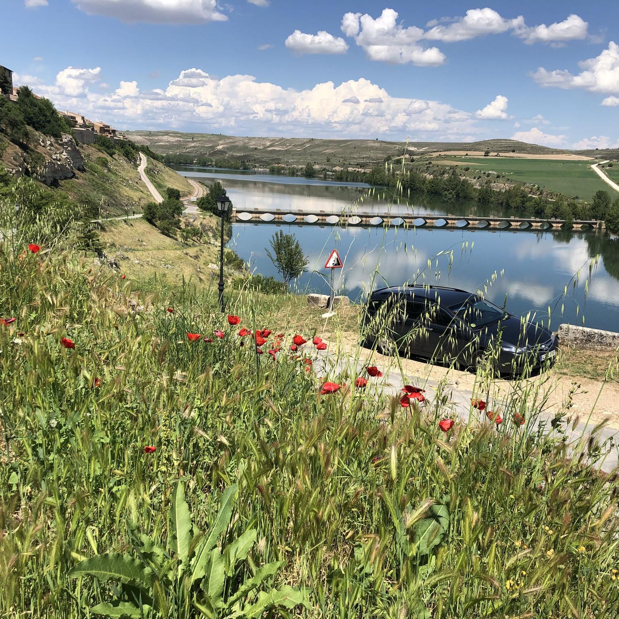
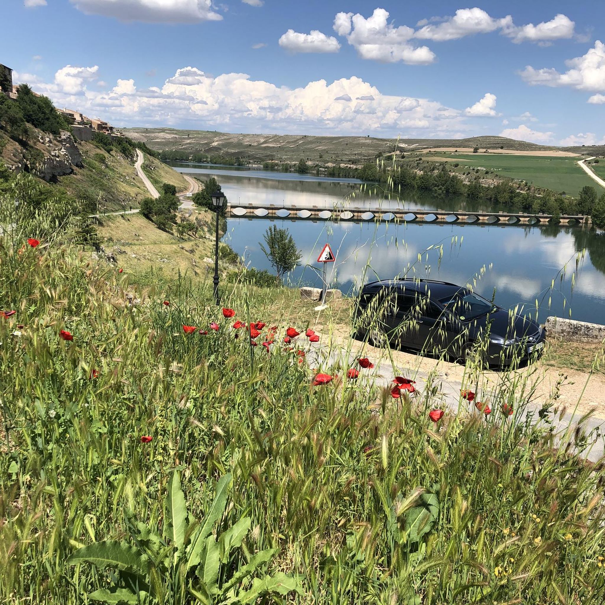
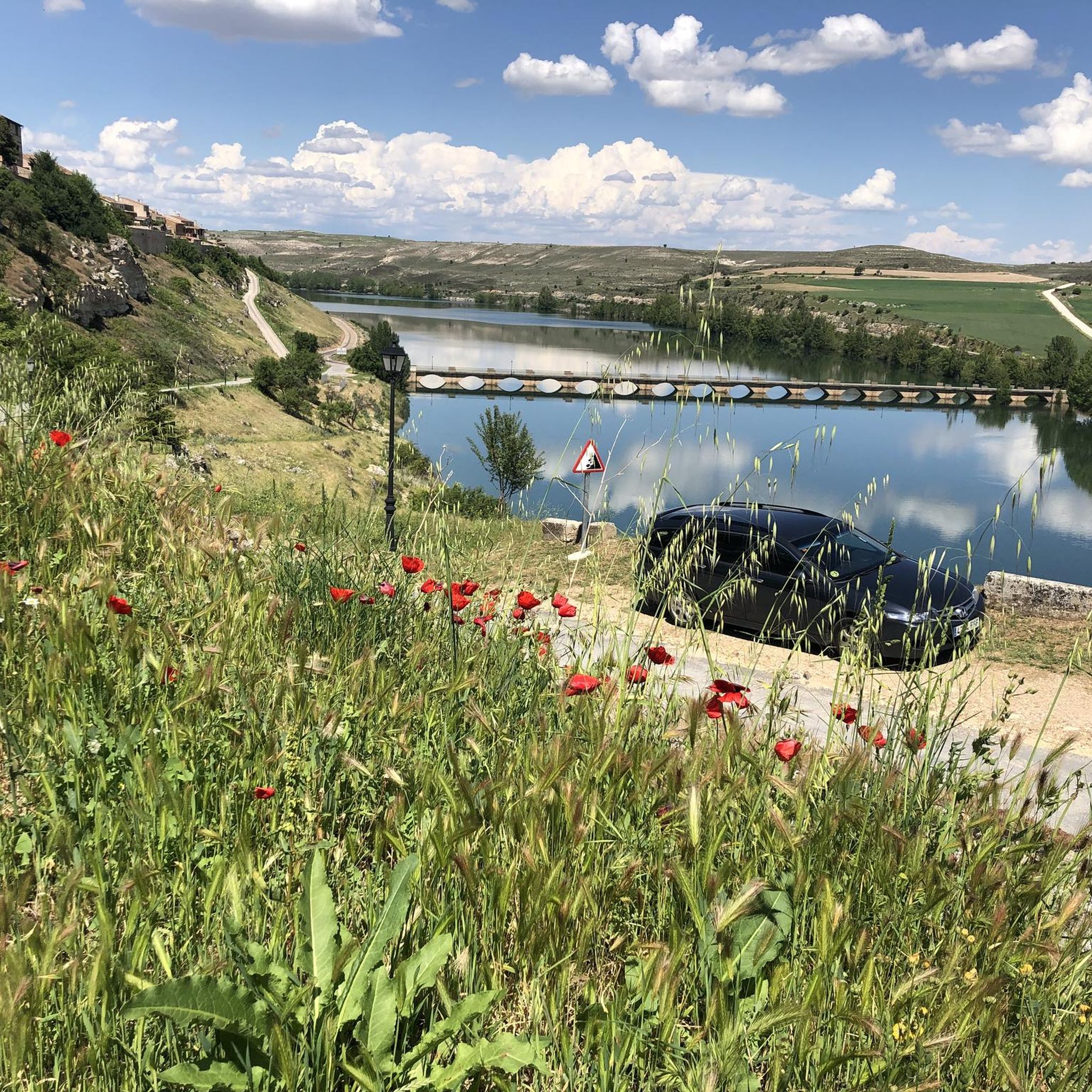
In years of abundant water, there is a beautiful landscape, and it is also full of fishermen.
0
0
Beautiful historic-medieval town in the province of Segovia.
0
0

In the middle of the walled area.
0
0
Frequently Asked Questions
How many hiking trails are available around Cilleruelo de San Mamés?
Komoot features around 5 hiking routes in the vicinity of Cilleruelo de San Mamés. These trails offer a range of experiences, from easy walks through open fields to more moderate excursions into natural parks.
What kind of terrain can I expect on hikes near Cilleruelo de San Mamés?
The terrain around Cilleruelo de San Mamés is characterized by rolling hills and expansive open fields, typical of the Segovian countryside. You'll find a mix of rural paths and tracks, with some routes venturing into areas like the Hoces del río Riaza Natural Park, which offers more varied landscapes.
Are there any easy hiking trails suitable for beginners?
Yes, there is an easy route available. The Pantano de Linares y Maderuelo — circular is an easy 7 km trail that takes less than two hours to complete, exploring the area around the Linares reservoir and the village of Maderuelo.
What are the best times of year to go hiking in this region?
The region's rolling hills and open fields make it pleasant for hiking during spring and autumn when temperatures are mild. Summer can be warm, but early mornings or late afternoons are still enjoyable. Winter offers a different charm, with distant views of the snow-capped Lobo Peak, though some paths might be muddy.
Are there any circular hiking routes available?
Yes, several routes are circular. For example, the easy Pantano de Linares y Maderuelo — circular and the moderate Senda de la Ermita de Casuar — circular desde Valdevacas de Montejo: Parque natural Hoces del río Riaza are both circular trails, offering convenient starting and ending points.
What natural features or landmarks can I see while hiking?
While hiking, you'll enjoy picturesque views of distant mountain ranges like the Sierra de Ayllón and the snow-capped Lobo Peak. Some routes, such as the Senda de la Ermita de Casuar, take you through the Hoces del río Riaza Natural Park, known for its diverse environments. You can also explore the historic Maderuelo Historic Village and Medieval Walls or the scenic Linares Reservoir.
Are there any family-friendly hiking options?
The easy routes, characterized by rolling hills and open fields, are generally suitable for families. The Pantano de Linares y Maderuelo — circular, for instance, is a relatively short and gentle trail that explores the reservoir area, making it a good choice for a family outing.
What do other hikers say about the trails in Cilleruelo de San Mamés?
The hiking routes around Cilleruelo de San Mamés are highly rated by the komoot community, with an average score of 4.7 stars from 5 reviews. Hikers often praise the tranquil experience, the characteristic natural landscapes, and the peaceful environment of the Segovian countryside.
Is there parking available near the trailheads?
While specific parking areas for each trailhead are not detailed, the rural nature of Cilleruelo de San Mamés and its surrounding villages typically offers ample roadside parking or small village squares where you can leave your vehicle. It's advisable to check the starting point of your chosen route for specific parking recommendations.
Can I reach the hiking areas by public transport?
Cilleruelo de San Mamés is a small municipality, and public transport options might be limited. While local bus services connect some villages in the Segovia province, direct access to specific trailheads might require a car. It's recommended to check local bus schedules if you plan to rely on public transport.
Are there any places to eat or stay near the hiking trails?
Cilleruelo de San Mamés and nearby towns like Maderuelo offer a rural charm, which includes local eateries and guesthouses. While not directly adjacent to every trailhead, you can find options for refreshments and accommodation within a short drive, allowing you to experience the local hospitality after your hike.
What is the elevation like on these hikes?
Cilleruelo de San Mamés itself is situated at an elevation of around 982 meters (3,222 feet). The hikes in the area feature rolling hills, meaning you'll encounter moderate ascents and descents. For example, the Senda de la Ermita de Casuar has an elevation gain of over 300 meters, offering a good workout with rewarding views.
Most popular routes around Cilleruelo De San Mamés
Most popular attractions around Cilleruelo De San Mamés

Get inspired with the komoot mobile app


Explore more
Browse the best Hikes in other regions.
