The best walks and hikes around Valoria La Buena
4.7
(40)
169
hikers
21
hikes
Hiking around Valoria La Buena offers routes through varied terrain, characterized by agricultural landscapes, gentle hills, and river valleys. The region features open fields, some wooded areas, and escarpments, providing diverse walking experiences. Elevations are generally moderate, with no significant peaks, making the area accessible for various hiking abilities. The trails often follow established paths through rural settings.
Best hiking trails around Valoria La Buena
- The most popular hiking route is Senda de los Cortados Trail, a 7.0 miles…
Last updated: June 24, 2026
4.6
(12)
51
hikers
11.2km
03:11
240m
240m
Moderate hike. Good fitness required. Easily-accessible paths. Suitable for all skill levels.
5.0
(1)
11
hikers
6.02km
01:39
100m
100m
Easy hike. Great for any fitness level. Easily-accessible paths. Suitable for all skill levels.

Sign up for free
5.0
(1)
2
hikers
16.6km
04:25
170m
170m
Moderate hike. Good fitness required. Mostly accessible paths. Sure-footedness required.
4.0
(1)
1
hikers
21.5km
05:42
210m
210m
Hard hike. Very good fitness required. Easily-accessible paths. Suitable for all skill levels.
12.6km
03:20
110m
110m
Moderate hike. Good fitness required. Easily-accessible paths. Suitable for all skill levels.
Get access to more routes and recommendations from other explorers.
Sign up for free
Already have an account?
Our route recommendations are based on thousands of hikes, rides, and runs completed by other people on komoot.
Start today with a free account
Your next adventure awaits.
Login or Signup


Tips from the Community

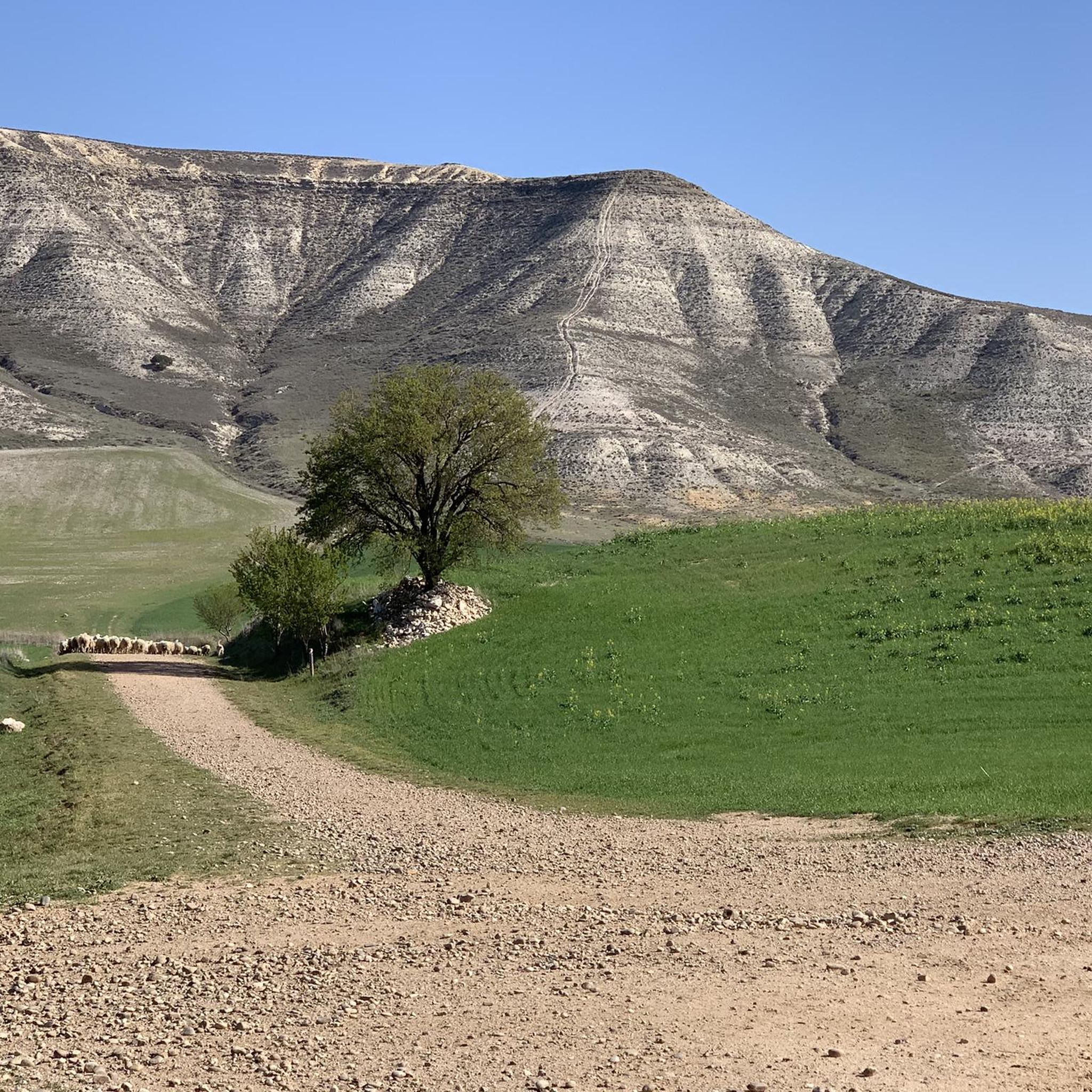
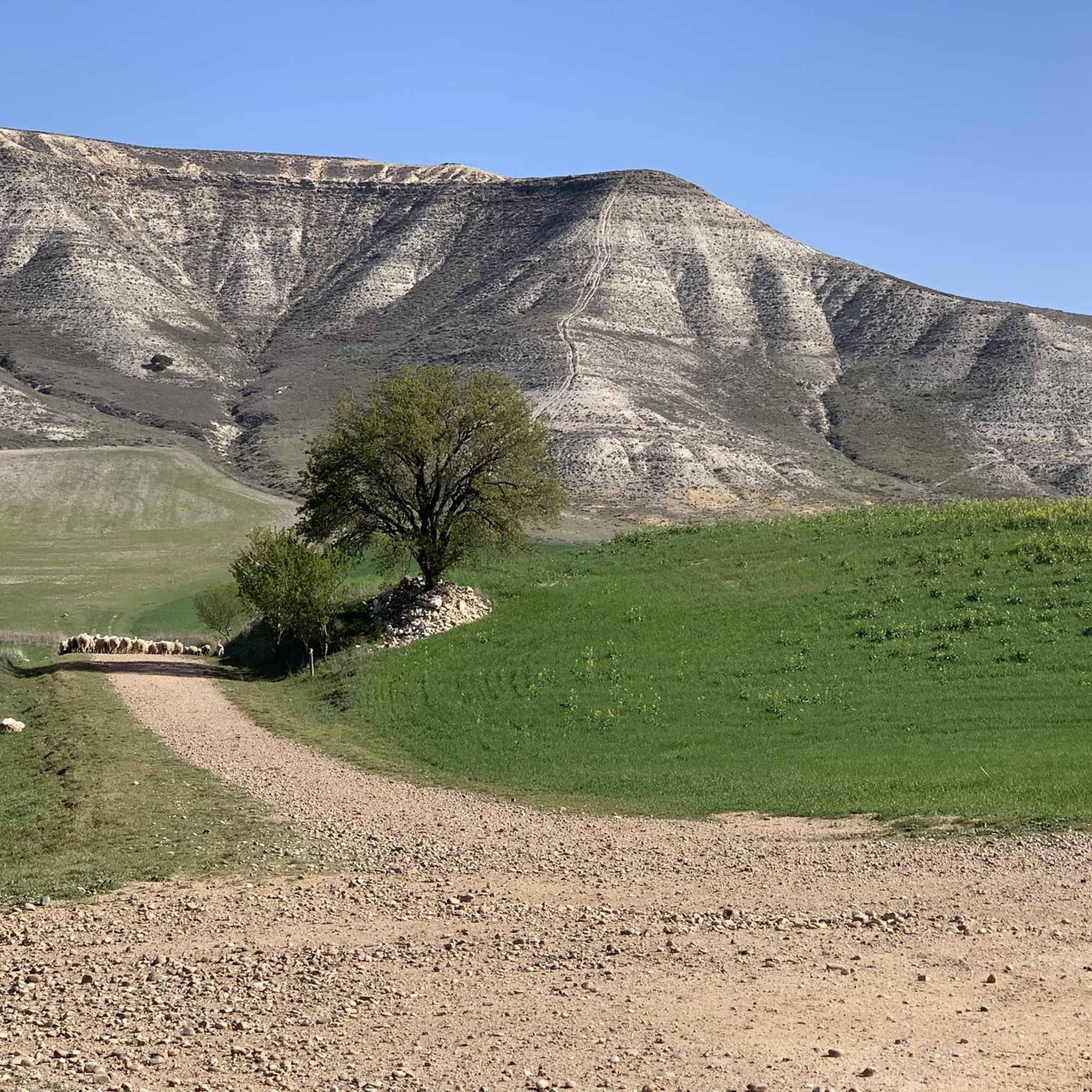
It is a very worthwhile route. From what we have seen when doing it, there is a change in the route right at the viewpoint. Currently, the markings indicate that you have to continue along the path with the large green fence, which then joins up again with the path indicated on the route, it is like a shortcut. As a tip, if it has frozen or rained, wear good mountain footwear that allows you to climb muddy slopes, since there is one quite steep one that, with mud, is difficult to climb. Otherwise, a very pleasant route, not very long and with beautiful landscapes.
1
0

The Mirador de los Cortados is an impressive place that offers panoramic views in the province of Valladolid, near the municipality of Cabezón de Pisuerga. The viewpoint is located on the Senda de los Cortados, a hiking route that runs through the province of Valladolid. From this point, you can enjoy spectacular views of the Pisuerga Valley.
3
0

A historical jewel reformed in the 16th century on previous structures of the bridge of Roman origin that connected the Roman road between Asturica Augusta and Clunia. It stands out for its arches. It is an emblematic crossing point that connects the town and represents an important part of the architectural heritage of the region.
1
0
Built in the 15th century, it is a magnificent example of medieval architecture in the province of Valladolid. Its imposing stone walls and its watchtower bear witness to its storied past. The interior has been restored and houses the permanent exhibition El Castillo Encantado with different themed areas with hidden passages, dungeons and much more.
1
0

It is a single lane bridge with traffic regulated by traffic lights but wide enough to entertain yourself to take photos
0
0

Bridge that crosses the Pisuerga river, cataloged in Roman times, although it has been greatly reformed over the centuries. Also known as the Nine-eyed Bridge because of the nine arches that form it.
1
1
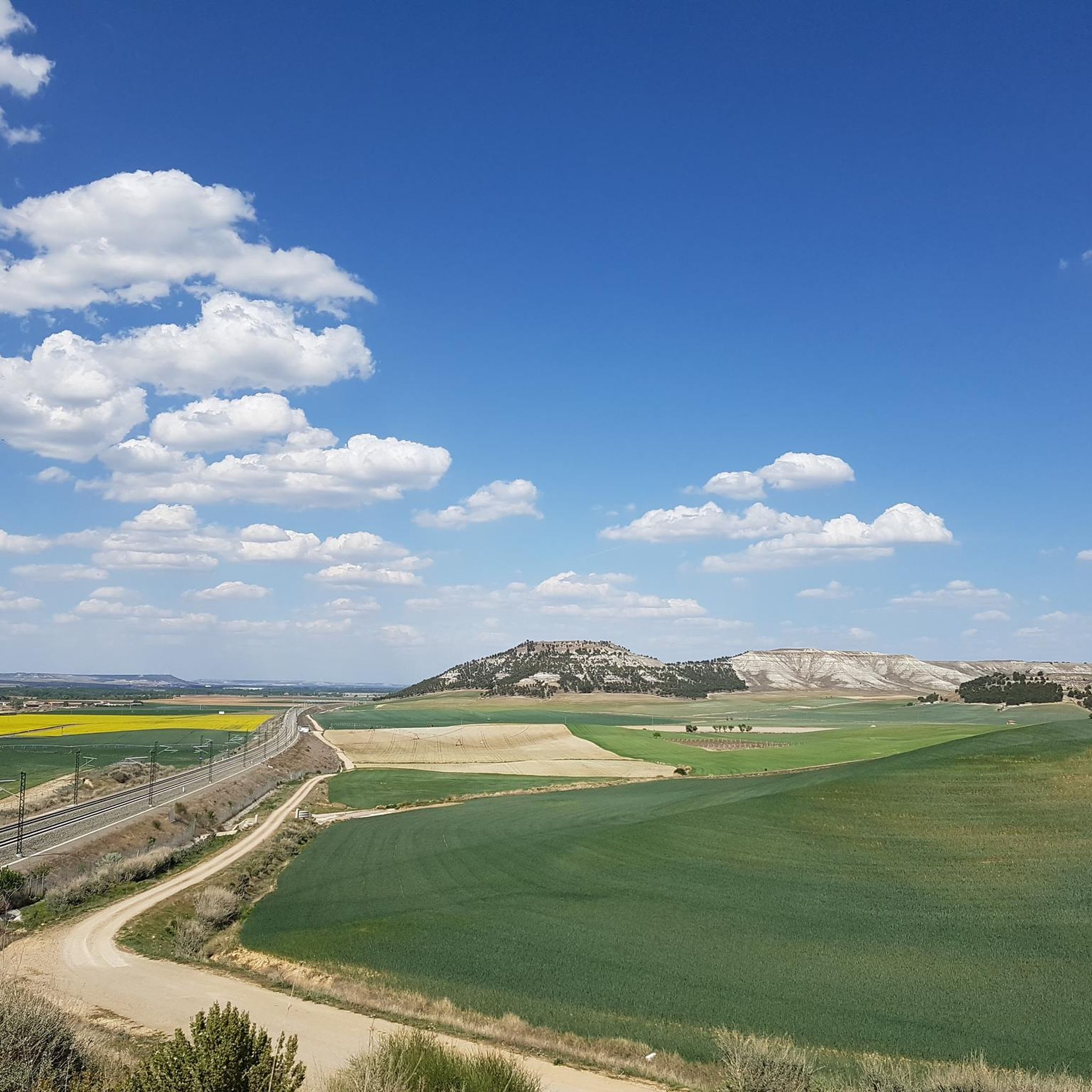
Viewpoint located on top of the Cortados de Cabezón with impressive views of the Pisuerga River and the entire plain with its surrounding agricultural fields.
1
1
Bridge that crosses the Pisuerga river, cataloged in Roman times, although it has been greatly reformed over the centuries. Also known as the Nine-eyed Bridge because of the nine arches that form it.
3
0
Frequently Asked Questions
How many hiking trails are available around Valoria La Buena?
There are over 20 hiking routes documented around Valoria La Buena on komoot, offering a variety of experiences through agricultural landscapes, river valleys, and gentle escarpments.
Are there easy hiking trails suitable for beginners or families in Valoria La Buena?
Yes, Valoria La Buena offers 7 easy hiking routes. A great option for a shorter excursion is the Vecilla Trail, which is 3.7 miles (6.0 km) long and navigates through open countryside, suitable for most abilities.
What kind of scenery can I expect on hikes in Valoria La Buena?
The region's hikes feature varied terrain, including extensive agricultural landscapes, gentle hills, and river valleys. You'll encounter open fields, some wooded areas, and escarpments. For scenic views, consider routes that pass by the Mirador de los Cortados or along the Scenic Stretch of the Canal de Castilla and Pisuerga River.
Are there any circular hiking routes in the area?
Yes, many routes in Valoria La Buena are circular. An example is the Clarete Trails: Valoria la Buena and San Martín de Valvení Loop, a 13.4-mile (21.5 km) trail that takes you through agricultural areas and vineyards. Another option is the Los Chozos del Monte de Dueñas — circular desde Dueñas.
What do other hikers enjoy the most about hiking in Valoria La Buena?
The area is highly rated by the komoot community, with an average score of 4.8 stars from over 30 reviews. Hikers often praise the diverse terrain, from open fields to river valleys, and the accessibility of routes for various skill levels.
Are there any specific landmarks or points of interest to look out for on the trails?
Beyond the natural beauty, you might encounter historical or cultural points of interest. Notable attractions include the Mirador de los Cortados, offering panoramic views, and the Cabezón de Pisuerga Bridge. Some routes may also pass by the Ruins of a flour mill.
Is Valoria La Buena suitable for winter hiking?
Valoria La Buena experiences mild winters, but conditions can vary. While the moderate elevations generally mean less snow accumulation than in mountainous regions, it's always advisable to check the local weather forecast before heading out. Trails may be muddy after rain.
Are there any trails that offer particularly good viewpoints?
Yes, the region features several spots with good views. The Mirador de los Cortados is a prominent viewpoint, often accessible from routes like the Senda de los Cortados Trail, offering expansive vistas of the surrounding landscape and escarpments.
What is the best time of year to go hiking in Valoria La Buena?
Spring and autumn are generally considered the best times for hiking in Valoria La Buena. The weather is typically mild, and the landscapes are vibrant with spring blooms or rich autumn colors. Summers can be hot, making early morning or late afternoon hikes preferable, while winters are generally mild but can be damp.
Are there any longer, more challenging routes for experienced hikers?
For experienced hikers seeking a longer challenge, the Clarete Trails: Valoria la Buena and San Martín de Valvení Loop is a difficult 13.4-mile (21.5 km) trail that takes approximately 5 hours 42 minutes to complete, leading through agricultural areas and vineyards.
How accessible are the hiking trails by public transport?
Access to hiking trails in Valoria La Buena primarily relies on local road networks. While some villages may have limited bus services, many trailheads might require private vehicle access. It's recommended to check local bus schedules for specific routes if you plan to use public transport.
Are there options for parking near the trailheads?
Parking availability varies by trailhead. In Valoria La Buena and surrounding villages, you can often find public parking areas. For specific routes, it's advisable to check the komoot tour details or local maps for designated parking spots near the starting points.
Most popular routes around Valoria La Buena
Most popular attractions around Valoria La Buena

Get inspired with the komoot mobile app


Explore more
Browse the best Hikes in other regions.
