The best road cycling routes around Vilamartín De Valdeorras
5.0
(5)
454
riders
37
rides
Road cycling routes around Vilamartín De Valdeorras traverse a landscape characterized by river valleys, rolling hills, and vineyards. The region features significant elevation changes, with routes often including climbs to higher elevations and descents along winding roads. This terrain provides varied conditions for road cyclists, from moderate ascents to more challenging, sustained climbs.
Best road cycling routes around Vilamartín De Valdeorras
- The most popular road cycling route is Alto de Covelo and Alto da Portela Loop, a 53.5 miles (86.1 km) trail that takes 4 hours 34 minutes to complete. This difficult route features significant elevation gain, passing through varied terrain.
- Another top favourite among local road cyclists is O Bañadoiro Suspension Bridge – Sobradelo Medieval Bridge loop from Vilamartín de Valdeorras, a difficult 52.2 miles (84.0 km) path. This route includes substantial climbing and offers views of the local river systems and historical bridges.
- Local road cyclists also love the O Bañadoiro Suspension Bridge – Ponte Bibei loop from O Barco de Valdeorras, a 48.4 miles (77.9 km) trail leading through river valleys and past local landmarks, often completed in about 4 hours 11 minutes.
- Road cycling around Vilamartín De Valdeorras is defined by river valleys, vineyards, and challenging climbs. The network offers options for various ability levels, from moderate routes to more challenging road bike trails.
- The routes in Vilamartín De Valdeorras are highly rated by the komoot community with an average score of 5.0 stars from 6 reviews. More than 400 road cyclists have used komoot to explore Vilamartín De Valdeorras's varied terrain.
Last updated: July 4, 2026
25
riders
86.1km
04:34
1,660m
1,660m
Hard road ride. Very good fitness required. Mostly well-paved surfaces and easy to ride.
25
riders
Hard road ride. Very good fitness required. Mostly well-paved surfaces and easy to ride.

Sign up for free
23
riders
77.8km
04:11
1,320m
1,320m
Hard road ride. Very good fitness required. Mostly well-paved surfaces and easy to ride.
18
riders
69.8km
03:41
1,280m
1,280m
Hard road ride. Very good fitness required. Mostly well-paved surfaces and easy to ride.
21
riders
30.9km
01:35
210m
210m
Moderate road ride. Great for any fitness level. Some segments of this route may be unpaved and difficult to ride.
Get access to more routes and recommendations from other explorers.
Sign up for free
Already have an account?
Our route recommendations are based on thousands of hikes, rides, and runs completed by other people on komoot.
Start today with a free account
Your next adventure awaits.
Login or Signup
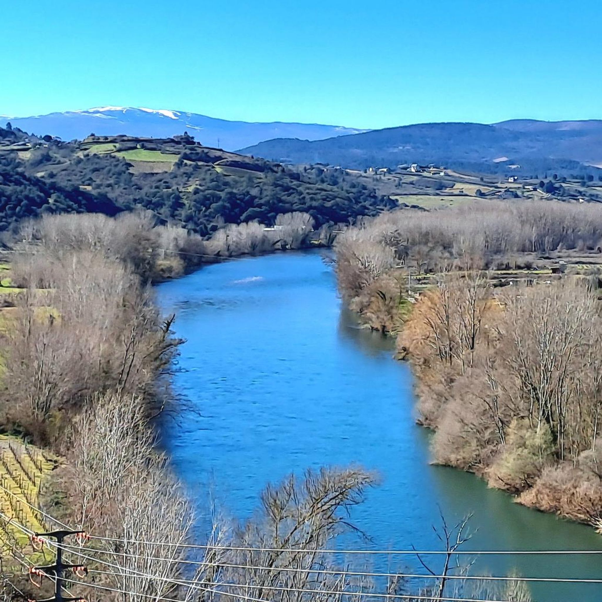

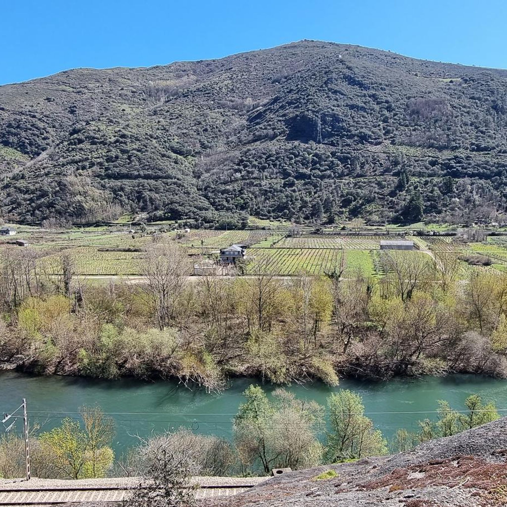
Tips from the Community

In O Barco de Valdeorras there are several interesting murals that beautify the town. Mural by Orde Caos: In Praza das Airas, the artist Orde Caos has created a large mural that was inaugurated by the Centro Comercial Aberto (CCA) O Barco.
13
0

There is art on many buildings.
2
0
A highlight along the way. The path doesn't actually lead over the bridge. But you should take it with you
5
0

The Peñarrubia Reservoir contains the waters of the Sil River. It is located on the border between León and Galicia, next to the N-536 National Highway, which runs between Ourense and Ponferrada.
0
0
The Pumares Reservoir contains the waters of the Sil River. The reservoir is located on the border between León and Galicia next to the N-536 National Highway that runs between Ourense and Ponferrada.
1
0
Puente de Domingo Flórez is a small town on the border between Galicia and León where the Cabreira River flows into the mighty Sil River.
1
0
Lago de Carucedo is a small town near the border of Galicia and León with a lake of the same name at the foot of the Sierra de Enciña de Lastra
1
0
A Pobra de Trives is a small regional town located at the foot of the mountain and access to the Manzaneda sky station. It is a great place to stop for lunch whether you go down to the Bibei river or go up to Manzaneda.
2
0
Frequently Asked Questions
How many road cycling routes are available in Vilamartín De Valdeorras?
There are over 35 road cycling routes around Vilamartín De Valdeorras, offering a variety of distances and difficulty levels. The region's terrain, characterized by river valleys, rolling hills, and vineyards, provides diverse conditions for cyclists.
What makes road cycling in Vilamartín De Valdeorras unique?
Road cycling in Vilamartín De Valdeorras is defined by its scenic river valleys, extensive vineyards, and challenging climbs. Routes often feature significant elevation changes, providing both moderate ascents and sustained, demanding climbs, alongside views of historical bridges and natural landscapes.
Are there road cycling routes suitable for beginners in Vilamartín De Valdeorras?
While many routes in Vilamartín De Valdeorras feature significant climbs, there is at least one route classified as easy. Additionally, 16 routes are rated as moderate, which might be suitable for beginners looking for a bit more challenge, depending on their fitness level.
Where can I find challenging road cycling routes in the region?
Vilamartín De Valdeorras is known for its challenging terrain, with 20 routes classified as difficult. For instance, the Alto de Covelo and Alto da Portela Loop is a demanding 53.5-mile route with significant elevation gain, taking approximately 4 hours and 34 minutes to complete.
Are there family-friendly road cycling options in Vilamartín De Valdeorras?
While many routes involve significant climbs, families might consider the easier or moderate routes available. It's advisable to check the elevation profiles and distances of routes classified as easy or moderate to ensure they align with the family's cycling abilities.
Can I find scenic road cycling routes with good views?
Yes, the region offers numerous scenic routes. For example, the O Bañadoiro Suspension Bridge – Sobradelo Medieval Bridge loop from Vilamartín de Valdeorras offers views of local river systems and historical bridges. Many routes traverse vineyards and river valleys, providing picturesque landscapes.
Are there loop road cycling routes available?
Yes, many road cycling routes in Vilamartín De Valdeorras are designed as loops. Examples include the Alto de Covelo and Alto da Portela Loop and the O Bañadoiro Suspension Bridge – Ponte Bibei loop from O Barco de Valdeorras, which allow you to start and finish at the same point.
What are some longer road cycling routes in Vilamartín De Valdeorras?
For longer rides, consider routes like the Alto de Covelo and Alto da Portela Loop, which spans 53.5 miles (86.1 km), or the O Bañadoiro Suspension Bridge – Sobradelo Medieval Bridge loop from Vilamartín de Valdeorras, covering 52.2 miles (84.0 km).
Are there places to stop for refreshments along the road cycling routes?
While specific cafes on every route are not detailed, the region has towns and villages where you can find refreshment points. For example, the Donation Refreshment Point on the Almenweg is a known stop in the wider area, and local establishments in towns like O Barco de Valdeorras offer options.
What historical landmarks or points of interest can I see while road cycling?
Many routes pass by significant landmarks. You can cycle past the O Bañadoiro Suspension Bridge, the Church of Our Lady of Fátima and Fontei Cross, or the Church of San Miguel de Montefurado. These highlights offer interesting stops during your ride.
What do other road cyclists say about the routes in Vilamartín De Valdeorras?
The road cycling routes in Vilamartín De Valdeorras are highly rated by the komoot community, with an average score of 5.0 stars from 6 reviews. Over 400 road cyclists have used komoot to explore the varied terrain, often praising the challenging climbs and scenic beauty of the river valleys and vineyards.
What is the best time of year for road cycling in Vilamartín De Valdeorras?
The best time for road cycling in Vilamartín De Valdeorras is typically during the spring and autumn months when temperatures are milder and the weather is generally more stable. Summers can be warm, and winters may bring colder conditions, though specific winter options might exist depending on the year.
Most popular attractions around Vilamartín De Valdeorras

Get inspired with the komoot mobile app


Explore more
Browse the best Road cycling routes in other regions.
