The best running trails around Firgas
4.6
(108)
5,507
runners
192
runs
Jogging around Firgas offers a diverse landscape characterized by rolling hills, rural parklands, and forested areas. The region features significant elevation changes, with routes ascending local peaks and traversing valleys. Many running routes explore the natural beauty of areas like Parque Rural de Doramas and the surroundings of Pico de Osorio. The terrain provides a mix of challenging climbs and more gentle paths, suitable for various running preferences.
Best jogging routes around Firgas
- The most popular jogging route is Parque…
Last updated: August 27, 2026
16
runners
Moderate run. Good fitness required. Mostly accessible paths. Some sure footedness required.
95
runners
16.8km
02:24
760m
760m
Hard run. Very good fitness required. Sure-footedness, sturdy shoes and alpine experience required.

Sign up for free
48
runners
8.84km
01:04
230m
230m
Moderate run. Good fitness required. Mostly paved surfaces. Suitable for all skill levels.
43
runners
32.3km
04:19
1,510m
1,510m
Hard run. Very good fitness required. Sure-footedness, sturdy shoes and alpine experience required.
43
runners
9.63km
01:04
140m
140m
Moderate run. Good fitness required. Mostly paved surfaces. Suitable for all skill levels.
Get access to more routes and recommendations from other explorers.
Sign up for free
Already have an account?
Our route recommendations are based on thousands of hikes, rides, and runs completed by other people on komoot.
Start today with a free account
Your next adventure awaits.
Login or Signup

Tips from the Community

Above the place where the caves are located, following the main path west and going up to the left, you can enjoy these wonderful views and the entire pine forest that surrounds you.
0
0
They are an archaeological complex made up of twelve natural caves, most of which were adapted to be habitable through their chiseling. These caves are distributed along a south-facing platform, which protects them from the northern trade winds and offers beautiful views over the Bentayga and the Cuenca del Nublo.
0
0

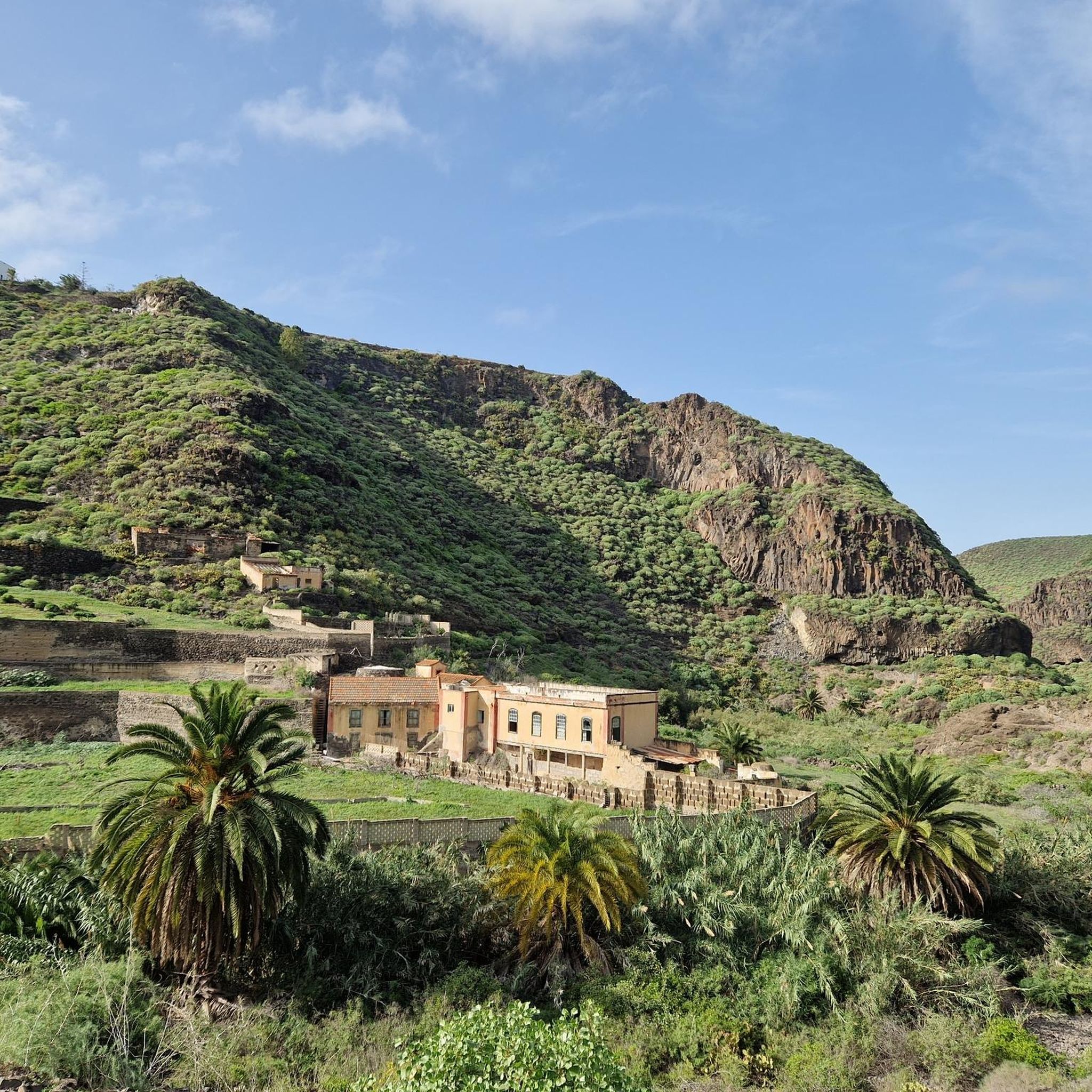
This property is located on a huge plateau above Teror. Agriculture, sheep, goats and a wonderful, well-kept, green park invite you to linger and take a walk. Surrounded by shady forest with old trees such as cork oaks, etc., it is fun to hike and explore. Access is free and public. There are many explanatory signs for information.
1
0

Amazing view around the northern part of the island, you can see Las Palmas, and if the weather is good even Tenerife with the Teide
0
0

Do you have to ask permission to visit it???
1
0

Pictures and benches are laboriously tiled here.
1
0

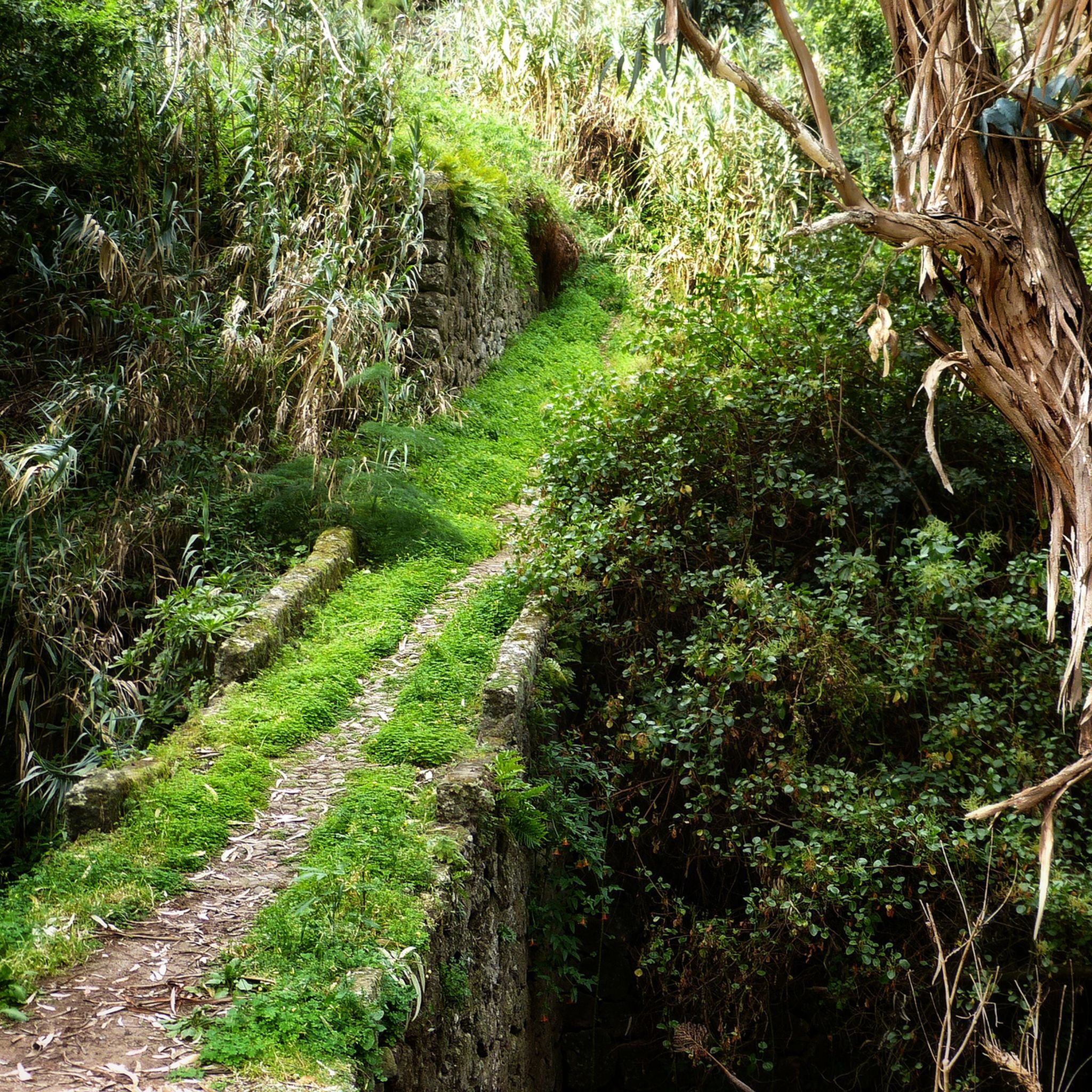
The path runs along the side of the ravine through a very lush area of vegetation. You will feel like you are entering the jungle with views of the ocean on the horizon.
1
0

Some time ago the water stairs were the main street in town.
1
0
Frequently Asked Questions
How many running routes are available around Firgas?
There are over 170 dedicated running routes around Firgas listed on komoot. These routes cater to various fitness levels, from easy jogs to challenging trail runs.
Are there any easy or beginner-friendly jogging routes in Firgas?
Yes, Firgas offers several easy jogging routes, with 9 specifically categorized as easy. These paths typically feature gentler terrain and shorter distances, perfect for beginners or a relaxed run. You can find options that explore the rural parklands without significant elevation changes.
What are the options for advanced runners looking for a challenge?
For advanced runners, Firgas provides over 100 difficult routes with significant elevation gains. An example is the Pico de Osorio – Acequia de Crespo loop from Los Castillos, which covers nearly 19 km with over 770 meters of ascent, offering a demanding trail running experience.
Can I find circular running routes in the Firgas area?
Yes, many of the running paths around Firgas are circular, allowing you to start and end at the same point. The region's topography, with its hills and valleys, naturally lends itself to loop trails, such as the Pico de Osorio – Acequia de Crespo loop from Firgas.
What kind of scenery can I expect on the jogging trails near Firgas?
The jogging trails around Firgas offer diverse scenery, including rolling hills, lush rural parklands, and forested areas. You'll encounter routes traversing valleys and ascending local peaks like Pico de Osorio, providing panoramic views of the surrounding landscape. Many routes also feature views of reservoirs and traditional Canarian architecture.
Are there any interesting landmarks or viewpoints along the running routes?
Absolutely. Many routes offer stunning viewpoints and access to natural attractions. You might pass by highlights such as Cruz de Galeote or enjoy a View of Guía, Gáldar, and Pico La Atalaya. The area also features unique geological formations like the Caballero Caves, which can be explored nearby.
What do other runners say about the trails in Firgas?
The running trails in Firgas are highly regarded by the komoot community, boasting an average rating of 4.6 out of 5 stars from over 90 reviews. Runners frequently praise the varied terrain, the natural beauty of areas like Parque Rural de Doramas, and the well-maintained paths that offer both challenging climbs and gentle sections.
Is Firgas a good place for trail running with dogs?
Many trails in the Firgas region are suitable for running with dogs, especially those that traverse rural parklands and forested areas. It's always recommended to keep your dog on a leash and be mindful of local regulations, particularly in protected natural spaces or agricultural zones. Always carry water for both yourself and your pet.
What is the best season for jogging in Firgas?
Firgas, being in the Canary Islands, enjoys a mild climate year-round. However, the cooler months from autumn to spring (October to May) are often preferred for jogging, as summer temperatures can be quite warm, especially at midday. Early mornings or late afternoons are generally ideal for running regardless of the season.
Are there any jogging routes that are suitable for families with children?
For families, it's best to look for the easier, shorter routes with less elevation change. These often explore the more accessible parts of the rural parklands or paths around the villages. Always check the route's distance and elevation profile on komoot to ensure it matches your family's capabilities.
Are there options for parking near the running trails in Firgas?
Parking availability varies by trailhead. Many routes starting from villages or popular natural areas like Finca de Osorio will have designated parking spaces. For routes beginning in more remote locations, roadside parking might be an option, but it's advisable to check the specific route details on komoot for parking recommendations.
Can I access running routes in Firgas using public transport?
While some routes may be accessible via local bus services connecting Firgas to surrounding towns, direct public transport access to every trailhead can be limited, especially for routes starting in more rural or mountainous areas. It's best to research local bus schedules and stops in relation to your chosen starting point.
Most popular attractions around Firgas

Get inspired with the komoot mobile app


Explore more
Browse the best Running Trails & Routes in other regions.
