The best cycling routes around Ruente
4.5
(31)
1,201
riders
15
rides
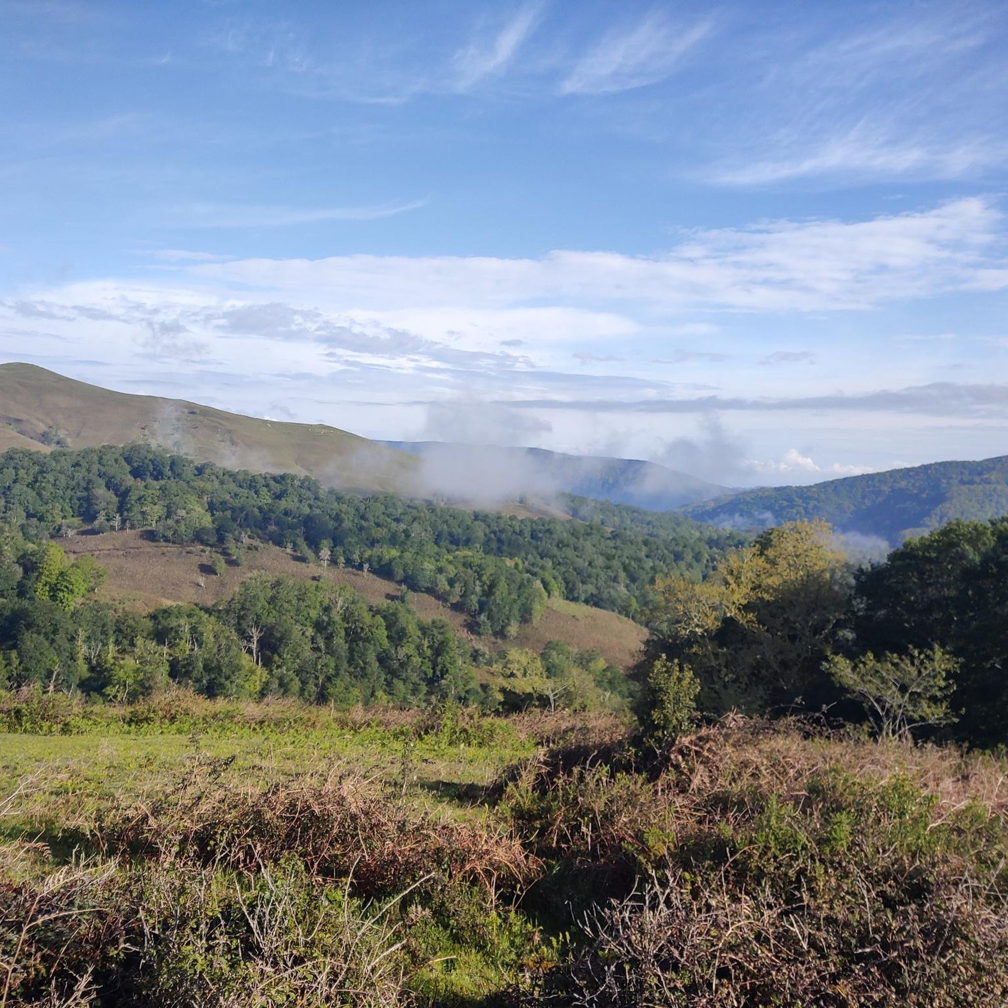
Touring cycling around Ruente offers a diverse landscape characterized by the valleys of the Saja and Bayones rivers, providing flatter areas for leisurely rides. Higher elevations present rolling hills and mountain pastures, with extensive forest tracks leading to panoramic viewpoints. A significant portion of the municipality lies within the Saja-Besaya Natural Park, featuring dense forested areas and unique natural monuments. This varied terrain provides a mix of routes suitable for different cycling preferences.
Best touring cycling routes around Ruente
- The…
Last updated: May 18, 2026
2
riders
15.6km
01:40
390m
390m
Hard bike ride. Good fitness required. You may need to push your bike for some segments of this route.
19
riders
33.6km
02:48
690m
690m
Hard bike ride. Very good fitness required. Mostly paved surfaces. Suitable for all skill levels.

Sign up for free
21
riders
41.6km
02:33
360m
360m
Moderate bike ride. Good fitness required. Mostly paved surfaces. Suitable for all skill levels.
13
riders
34.3km
03:12
790m
790m
Hard bike ride. Very good fitness required. You may need to push your bike for some segments of this route.
10
riders
18.9km
01:31
430m
430m
Moderate bike ride. Good fitness required. Mostly paved surfaces. Suitable for all skill levels.
Get access to more routes and recommendations from other explorers.
Sign up for free
Already have an account?
Our route recommendations are based on thousands of hikes, rides, and runs completed by other people on komoot.
Start today with a free account
Your next adventure awaits.
Login or Signup
Other adventures around Ruente

Tips from the Community

Added to the collection: komoot.com/de-de/collection/3600632/-naturdenkmaeler-besondere-baeume-und-weitere-schaetze-der-natur
0
0
Added to the collection: komoot.com/de-de/collection/3600632/-naturdenkmaeler-besondere-baeume-und-weitere-schaetze-der-natur
0
0

The Bujilices "Tumbao" Oak, located in Ucieda (Ruente) within the Saja-Besaya Natural Park, is one of Cantabria's most unique and magical trees. The tree fell under the weight of snow and wind at the end of the 19th century, but it didn't die. Four vertical branches sprouted from the fallen trunk, developing as if they were independent trees, creating a unique and spectacular shape.
2
0

Very quiet green area, where you can take a bath and sleep peacefully
0
0

Bujilices fallen oak tree in Ucieda. Bucolic place to make a stop along the way, read life.
0
0


This impressive beech, due to its beauty and size, is tree number 20 in the "Inventory of Singular Trees of Cantabria". It is 35 meters tall, its trunk has a perimeter of 3.85 meters at a height of 1.30 meters from the ground.
1
0
One of the singular trees of Cantabria. It is a trunk of about ten meters that rests on the ground and from which a series of branches sprout from 18 to 20 meters high. It is located on the Monte Río de los Vados route in the Ucieda forest, in section B-I.
1
0
Frequently Asked Questions
How many touring cycling routes are available around Ruente?
There are 14 touring cycling routes around Ruente, catering to various skill levels. You'll find 1 easy route, 4 moderate routes, and 9 more challenging options, ensuring there's something for every cyclist.
What kind of terrain can I expect on touring cycling routes in Ruente?
Ruente offers a diverse landscape for touring cyclists. You'll encounter flatter areas in the valleys of the Saja and Bayones rivers, ideal for leisurely rides. As you ascend, the terrain transitions to rolling hills and mountain pastures, with extensive forest tracks leading to higher elevations. A significant portion of the routes are within the Saja-Besaya Natural Park, featuring dense forested areas.
Are there any circular touring cycling routes in Ruente?
Yes, many routes in Ruente are designed as loops, allowing you to start and end in the same location. For example, the Ucieda Mountain House – Fallen Oak of Brujilices loop from Ruente is a popular difficult option, and the Ancient Trees in the Forest loop from Ruente offers a moderate experience.
What natural landmarks or viewpoints can I discover along the cycling routes?
Ruente's routes offer access to several notable natural features and viewpoints. You can cycle towards the El Moral Plateau for amazing landscapes and panoramic views. The Fallen Oak of Brujilices, a unique natural monument within the Saja-Besaya Natural Park, is also accessible on routes like the Ucieda Mountain House – Fallen Oak of Brujilices loop from Ruente. Additionally, the Viewpoint over the Monte Cabezón Sequoias Natural Monument offers another scenic stop.
Are there any family-friendly touring cycling routes in Ruente?
While many routes in Ruente are moderate to difficult, there is at least one easy touring cycling route available. For families, routes with flatter sections along the Saja and Bayones river valleys might be more suitable. Always check the route's difficulty and elevation profile on komoot before heading out to ensure it matches your family's capabilities.
Can I bring my dog on the touring cycling routes in Ruente?
Many natural areas in Cantabria, including parts of the Saja-Besaya Natural Park, are generally dog-friendly, especially on trails where dogs are kept on a leash. However, specific regulations can vary. It's always best to check local signage or park rules for any restrictions regarding dogs on specific cycling paths or protected areas within Ruente.
What is the best time of year for touring cycling in Ruente?
The region is popular for cycling in months like February and August, suggesting that both cooler and warmer periods can be enjoyable. Generally, spring and autumn offer pleasant temperatures and beautiful scenery, while summer can be warm. Winter cycling is possible, but some higher elevation tracks might be affected by weather conditions.
Are there any waterfalls or significant water features to see while cycling?
Yes, the region boasts beautiful water features. The Lamiña Waterfalls, situated near Barcenillas, offer a beautiful spot within a beech forest, perfect for a relaxing stop. Additionally, La Fuentona de Ruente is a natural spring known for its intermittent water flow and local legends, providing a unique point of interest.
What do other touring cyclists enjoy most about cycling in Ruente?
The touring cycling routes in Ruente are highly rated by the komoot community, with an average score of 4.6 stars from over 20 reviews. Cyclists often praise the diverse terrain, from river valleys to forest tracks, and the immersive natural experience within the Saja-Besaya Natural Park. The variety of routes, including options like the Route of The Bridges – Ucieda Saja-Besaya Natural Park, is also frequently highlighted.
Are there any easy touring cycling routes for beginners?
Yes, there is 1 easy touring cycling route available around Ruente. These routes typically feature less elevation gain and smoother terrain, making them suitable for beginners or those looking for a more relaxed ride. Always check the route details on komoot for specific information on distance and elevation.
Where can I find parking for touring cycling routes in Ruente?
While specific parking locations for each route are not detailed here, Ruente is a municipality with various access points to its natural areas. It's advisable to look for designated parking areas near trailheads or in the villages like Ruente or Ucieda, especially when planning to access routes within the Saja-Besaya Natural Park.
Are there any cafes or places to stop for refreshments along the routes?
Ruente and its surrounding villages offer traditional mountain architecture and amenities. While specific cafes on every route are not listed, you can often find establishments in the towns you pass through or near the start/end points of your ride. Planning your route to include stops in villages like Ruente or Ucieda will allow for refreshment breaks.
Most popular attractions around Ruente

Get inspired with the komoot mobile app


Explore more
Browse the best Cycling routes in other regions.
