The best road cycling routes around Mara
4.8
(4)
463
riders
4
rides
Road cycling around Mara is characterized by its varied and often challenging terrain, featuring significant elevation changes across its routes. The region offers a network of roads that traverse hilly landscapes and rural areas, providing demanding climbs and descents. Cyclists can expect to navigate through valleys and past small towns, with routes often connecting different points of interest. The area's topography makes it suitable for road cyclists seeking longer distances and substantial ascents.
Best road cycling routes around Mara
- The…
Last updated: October 28, 2026
26
riders
103km
04:41
1,160m
1,160m
Hard road ride. Very good fitness required. Mostly well-paved surfaces and easy to ride.
20
riders
77.9km
03:28
740m
740m
Moderate road ride. Good fitness required. Mostly well-paved surfaces and easy to ride.

5.0
(1)
22
riders
93.3km
04:20
1,110m
1,110m
Hard road ride. Very good fitness required. Mostly well-paved surfaces and easy to ride.
16
riders
78.1km
03:22
660m
660m
Moderate road ride. Good fitness required. Mostly well-paved surfaces and easy to ride.
16
riders
69.2km
03:04
680m
680m
Moderate road ride. Good fitness required. Mostly well-paved surfaces and easy to ride.
Our route recommendations are based on thousands of hikes, rides, and runs completed by other people on komoot.
Start today with a free account
Your next adventure awaits.


Tips from the Community

Town on the Tranquera reservoir, on the Mesa River, where we find places to eat and sleep, and the second checkpoint on the Madrid to Barcelona route.
0
0

The La Tranquera Reservoir in Nuévalos is a spectacular place to enjoy nature and panoramic views. Inaugurated in 1959, the reservoir was designed to regulate the flow of the Piedra River and ensure the water supply in the region.
4
0

It has all the services, shops, accommodation and several laundries.
0
0

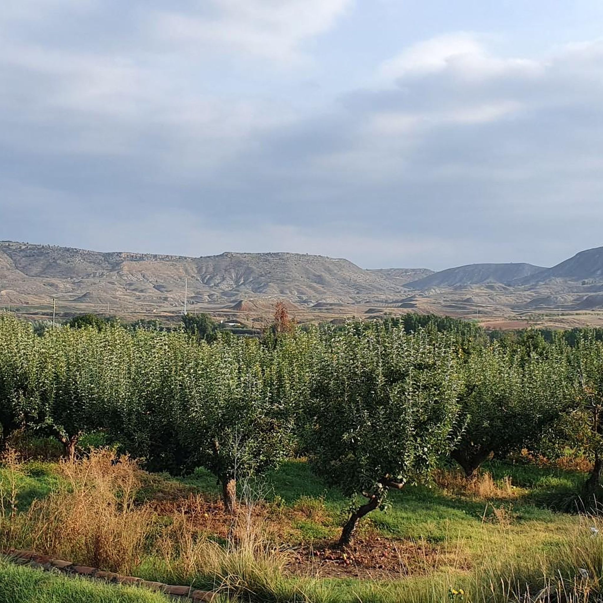
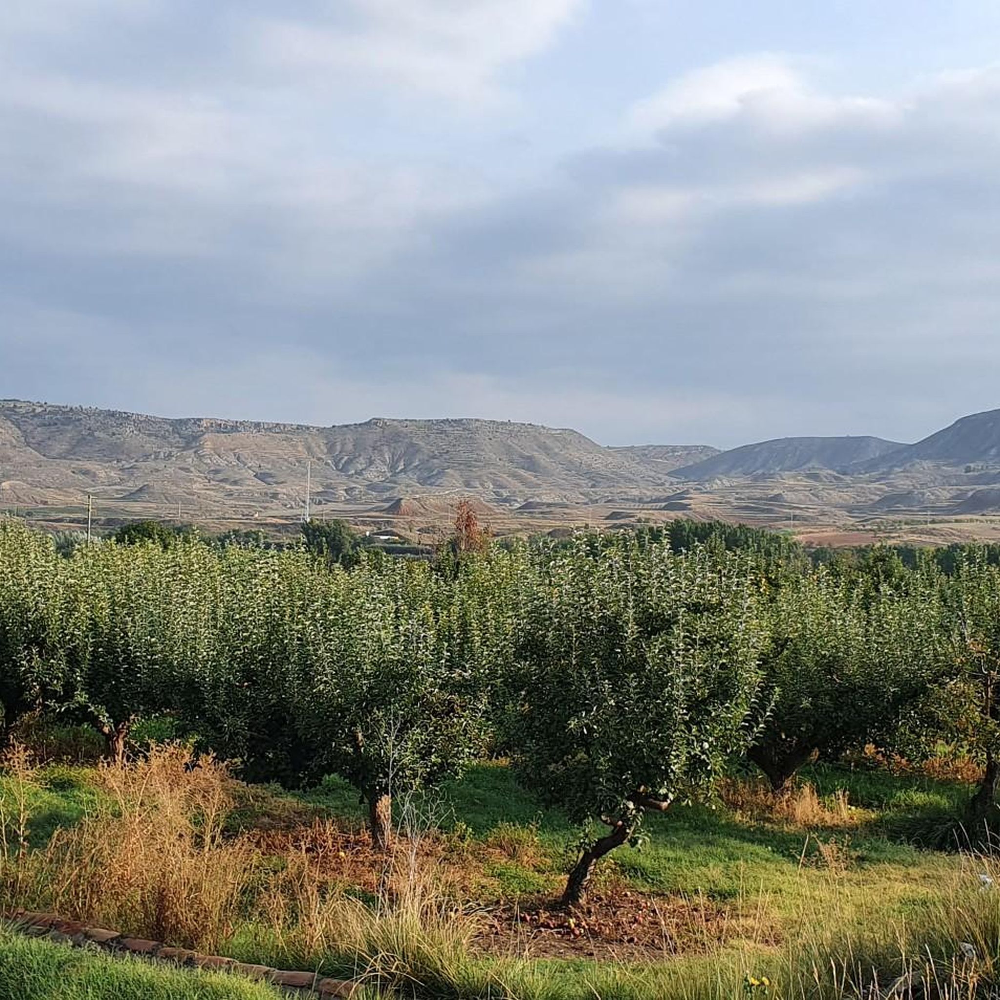
The town of Codos is located on the banks of the Grío River, nestled in a primarily agricultural landscape where cherry and peach orchards predominate. In the center of town there is a bar.
1
0
As its name suggests, the town of Langa del Castillo is dominated by the vestiges of a castle located on top of a plateau. Few remains remain of this medieval fortress, although you can see how large it must have been in its time, when its function was to defend the border with the kingdom of Castile.
1
0

Acered is a mid-mountain town in the Jiloca valley at about 800 meters above sea level. Its name derives from the Arame expression al-sirāṭ, which literally means "the path". And this small nucleus of houses is precisely in the Las Tres Taifas section of the Camino del Cid.
1
0

We are in Ateca, a beautiful town in the Community of Calatayud where we can visit the Mudejar tower of the church of Santa María, dating from the 12th and 14th centuries, or the Ateca Fort, built on the remains of a castle of uncertain origin. . In Ateca we can take advantage to recover energy in one of its bars.
1
0
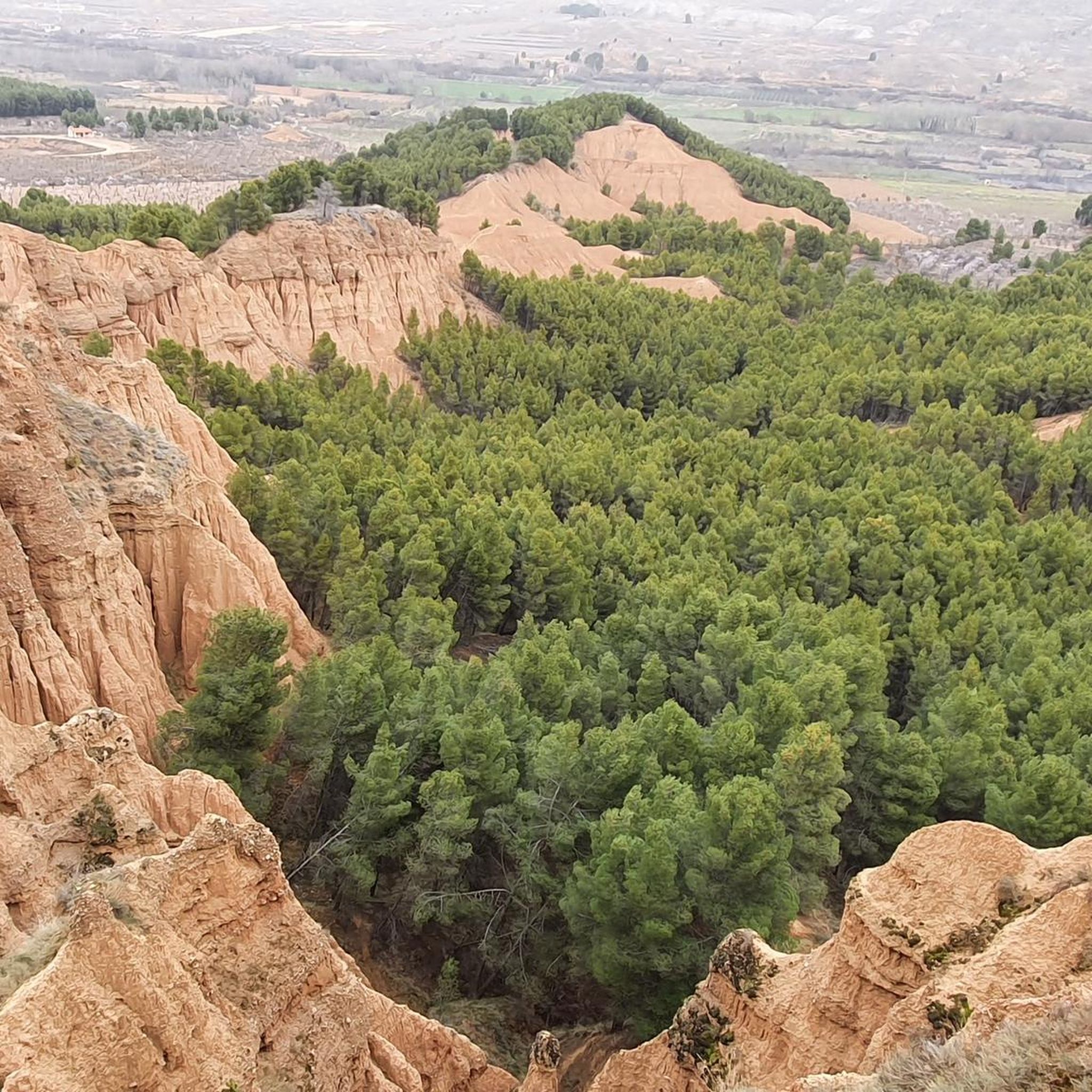
Nice ascent to the Puerto de Murero that has a distance of 2.6 km and a maximum slope of 17% and an average of 7.4%, giving a positive difference of 190m that makes it a 3rd category port. We could say that it is brief but intense and very attractive since it crosses the forests that surround Daroca and the Jiloca river valley.
0
0
Frequently Asked Questions
How many road cycling routes are available around Mara?
There are 8 road cycling routes documented around Mara on komoot, offering a range of challenging rides through the region's hilly terrain.
What is the general difficulty level of road cycling routes in Mara?
The road cycling routes in Mara are primarily designed for experienced cyclists, with 5 out of 8 routes rated as 'difficult' and 3 as 'moderate'. They feature significant elevation changes and demanding climbs.
Are there any particularly challenging road cycling routes for experienced riders?
Yes, for experienced riders seeking a challenge, the Calatayud – ⭐️ Puerta de Terrer loop from Tobed is an excellent option. This 82.3-mile (132.5 km) route includes over 6,800 feet (2,090 meters) of elevation gain, typically taking around 6 hours and 42 minutes to complete.
What kind of terrain can I expect on road cycling routes in Mara?
You can expect varied terrain characterized by hilly landscapes, rural roads, and significant elevation changes. Routes often traverse valleys and connect small towns, providing both demanding climbs and descents.
Are there any loop routes for road cycling in Mara?
Yes, many routes in Mara are designed as loops. For example, the Alto de Codos – ⭐️ Church of San Pedro loop from Miedes de Aragón is a popular 53.0-mile (85.4 km) loop, and the Pietas Fountain and Picnic Area – Santa Cruz de Grío loop from Mara is another challenging loop option.
What do other cyclists say about road cycling in Mara?
The routes in Mara are highly rated by the komoot community, with an average score of 4.75 stars from 4 reviews. Over 600 road cyclists have used komoot to explore the region's varied and challenging terrain.
What are some notable places or landmarks I might encounter while cycling in Mara?
While cycling in the Mara region, you might pass through or near interesting settlements like Calatayud or Villafeliche. You could also spot natural features such as Pico del Rayo, a prominent summit in the area.
Are there any specific attractions or points of interest near the road cycling routes?
Beyond the routes themselves, the region offers several points of interest. You could explore the historic town of Calatayud or discover the castle in Maluenda. These attractions provide opportunities to experience the local culture and history.
Are there any road cycling routes that start from Miedes de Aragón?
Yes, Miedes de Aragón serves as a starting point for several routes. A popular option is the Alto de Codos – ⭐️ Church of San Pedro loop from Miedes de Aragón, a difficult 53.0-mile (85.4 km) ride with over 4,200 feet (1,280 meters) of elevation gain.
What is the longest road cycling route available in Mara?
The longest road cycling route documented in Mara is the Calatayud – ⭐️ Puerta de Terrer loop from Tobed, spanning 82.3 miles (132.5 km) and featuring substantial climbs.
Can I find routes with significant climbs in Mara?
Absolutely. Road cycling in Mara is defined by challenging climbs. For instance, the Calatayud – ⭐️ Puerta de Terrer loop from Tobed boasts over 6,800 feet (2,090 meters) of elevation gain, making it a demanding option for those seeking significant ascents.
Are there any road cycling routes suitable for a full day's ride?
Many routes in Mara are suitable for a full day's ride due to their length and difficulty. The Calatayud – ⭐️ Puerta de Terrer loop from Tobed, for example, is estimated to take about 6 hours and 42 minutes, providing a substantial day out on the bike.
Most popular attractions around Mara

Get inspired with the komoot mobile app


Explore more
Browse the best Road cycling routes in other regions.
