The best cycling routes around Mezalocha
5.0
(1)
49
riders
10
rides
Touring cycling routes around Mezalocha traverse a varied landscape in the Campo de Cariñena region of Zaragoza province, Spain. The area is characterized by mountains, the Huerva river, and the Mezalocha Reservoir, offering diverse terrain for cyclists. Routes often pass through pine forests, holm oak groves, and cultivated fields, with some extending into river valleys and more rugged, desert-like areas. This provides a range of cycling experiences across different elevations.
Best touring cycling routes around Mezalocha
- The most popular touring…
Last updated: July 11, 2026
5.0
(1)
12
riders
77.2km
05:11
990m
990m
Hard bike ride. Very good fitness required. Mostly paved surfaces. Suitable for all skill levels.
10
riders
55.1km
03:28
640m
640m
Hard bike ride. Very good fitness required. Mostly paved surfaces. Suitable for all skill levels.

Sign up for free
7
riders
60.4km
04:16
950m
950m
Hard bike ride. Very good fitness required. Mostly paved surfaces. Suitable for all skill levels.
6
riders
73.0km
05:00
1,290m
1,290m
Hard bike ride. Very good fitness required. Mostly paved surfaces. Suitable for all skill levels.
3
riders
37.2km
03:07
370m
370m
Moderate bike ride. Good fitness required. Mostly paved surfaces. Suitable for all skill levels.
Get access to more routes and recommendations from other explorers.
Sign up for free
Already have an account?
Our route recommendations are based on thousands of hikes, rides, and runs completed by other people on komoot.
Start today with a free account
Your next adventure awaits.
Login or Signup

Tips from the Community

It is the main point of interest of the route. The sanctuary is located at an altitude of about 1,350 m and offers spectacular views of the Iberian Sierras and the Huerva valley. It is one of the most emblematic places in the entire Campo de Daroca region.
0
0

Incredible, depending on the season the flow can vary greatly. We were lucky enough to pass through when there was a lot of water, it's impressive!
1
0

Enjoy the hot days near the Muel waterfall
0
0

Water fountain at the entrance to the town of Herrera de los Navarros.
0
0


The town of Codos is located on the banks of the Grío River, nestled in a primarily agricultural landscape where cherry and peach orchards predominate. In the center of town there is a bar.
1
0

The Muel Roman dam is one of the most relevant hydraulic civil engineering works in the Hispano-Roman world, due to its monumentality and good state of conservation.
11
0
Frequently Asked Questions
What types of terrain can I expect on touring cycling routes around Mezalocha?
The region offers a diverse landscape for touring cyclists. You'll find routes traversing mountains, the Huerva river valley, and areas around the Mezalocha Reservoir. Expect a mix of pine forests, holm oak groves, cultivated fields, and some more rugged, desert-like sections, providing varied elevations and experiences.
Are there touring cycling routes suitable for beginners in Mezalocha?
Yes, Mezalocha offers a range of routes catering to different ability levels. While there are several difficult and moderate options, the network includes 2 easy touring cycling routes, perfect for those new to the area or looking for a more relaxed ride.
Can I find circular touring cycling routes in the Mezalocha area?
Many touring cycling routes around Mezalocha are designed as loops, allowing you to start and finish in the same location. For example, the Bike loop from Mezalocha is a moderate 22.3 km route that starts and ends in Mezalocha itself.
What are some notable natural attractions I can see while cycling in Mezalocha?
The area is rich in natural beauty. You can explore the Muel Waterfalls, or cycle near the Mezalocha Reservoir. The 'Ruta de las Fuentes' also guides you to various natural springs like Fuente del Chopo and Fuente del Pinar, often through pine forests and holm oak groves.
Are there any historical landmarks or cultural sites accessible by touring bike?
Absolutely. The region is dotted with historical sites. You can visit the impressive Roman Dam of Muel, or explore the 'Ruta de los Castillos' which includes the 14th-century Mezalocha castle and other fortifications. The Virgen de Dorleta Memorial is also a significant site for cyclists.
What is the longest touring cycling route available in Mezalocha?
One of the longer and more challenging routes is the Puerto de Codos – Paniza loop from Longares. This difficult trail spans 77.2 km (48.0 miles) and features significant elevation gain, typically taking over 5 hours to complete.
Can I combine touring cycling with wine tasting in the Mezalocha region?
Yes, the Mezalocha area is part of the Campo de Cariñena region, known for its wine. The 'Ruta del Vino' actively promotes cycling as a way to explore the local landscapes and gastronomy, offering opportunities to visit vineyards and enjoy local produce.
What do other touring cyclists say about the routes in Mezalocha?
The touring cycling routes in Mezalocha are highly regarded by the komoot community, with an average score of 5.0 stars from over 1 review. Cyclists often praise the varied terrain, from mountainous sections to river valleys, and the blend of natural beauty with historical attractions.
Are there any routes that offer views of the Mezalocha Reservoir?
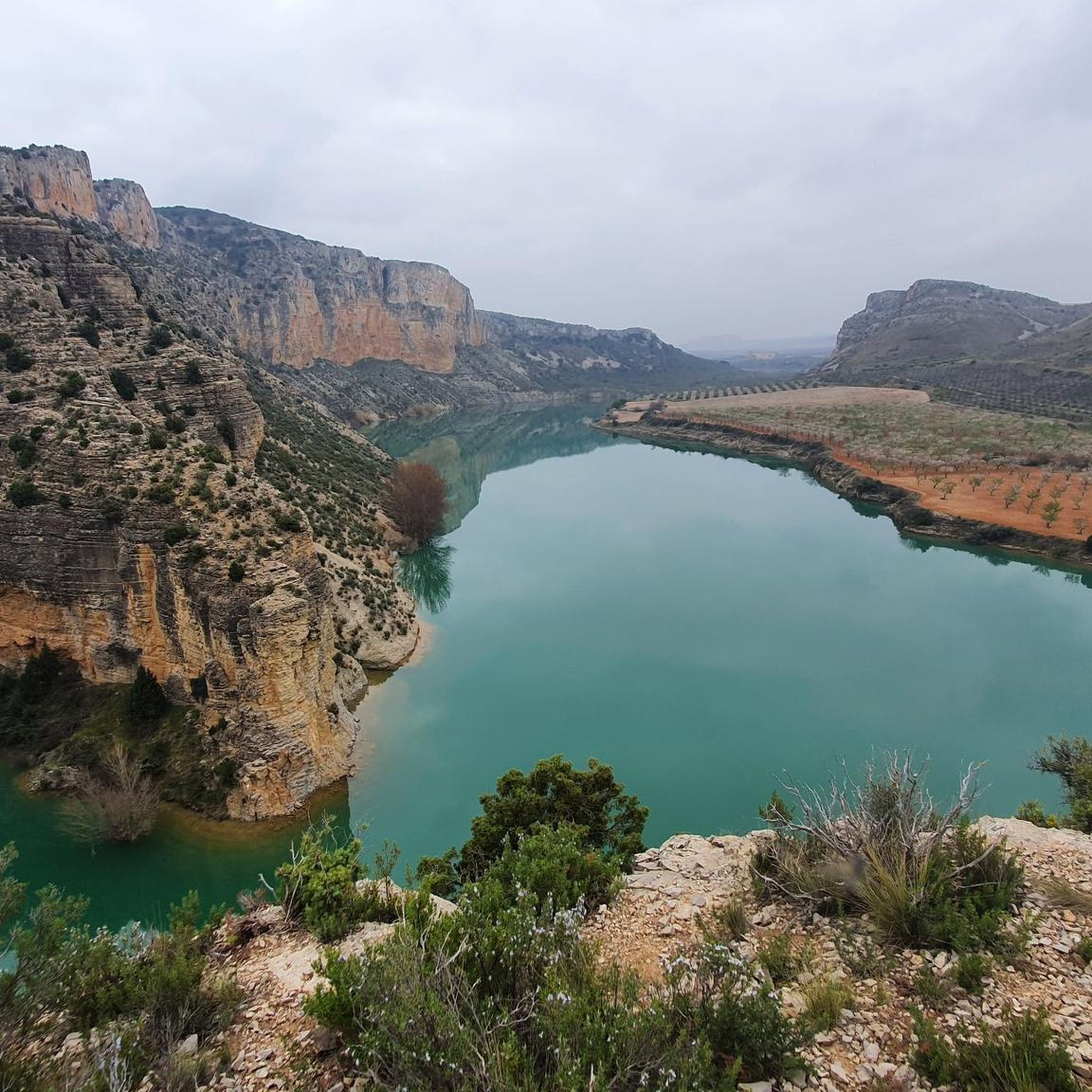
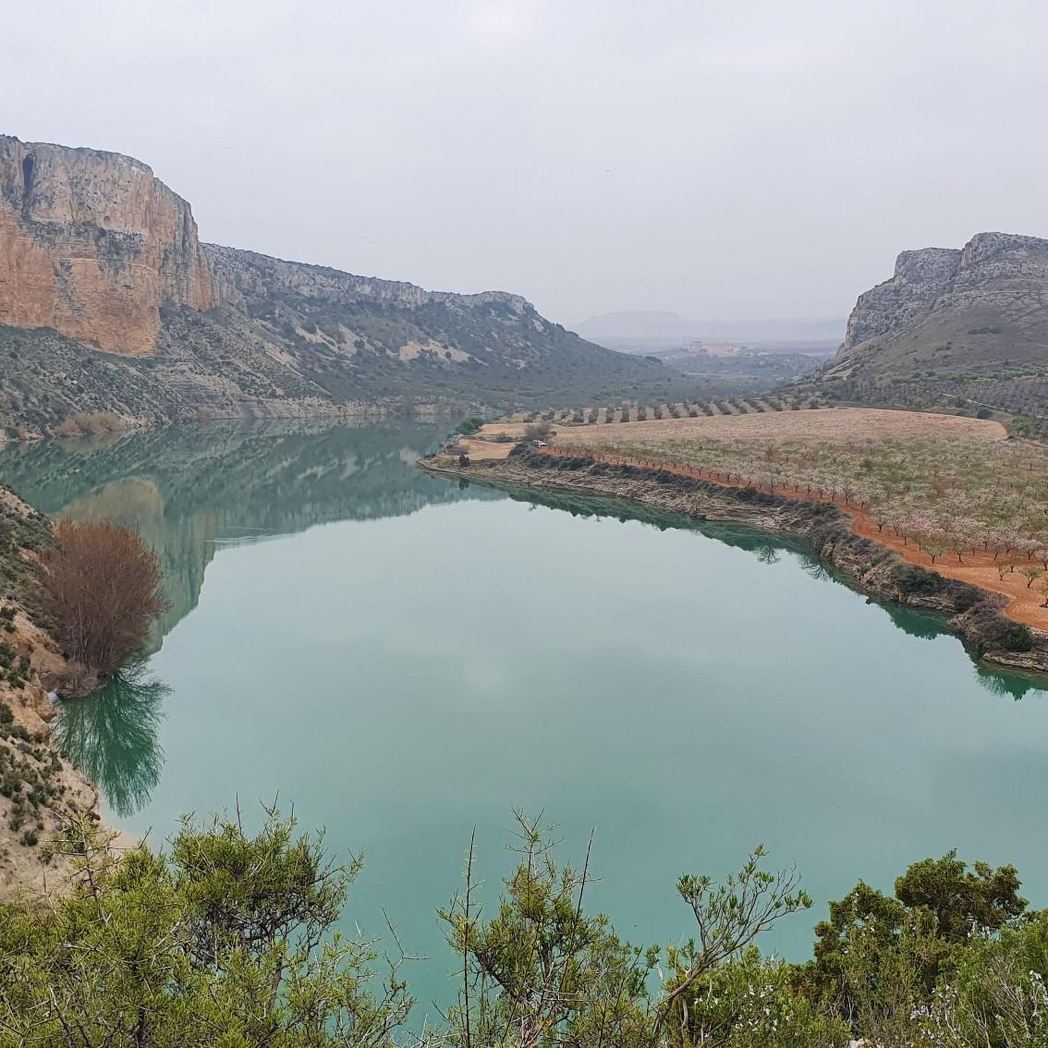
Yes, the Mezalocha Reservoir is a prominent natural landmark in the region. Many routes are situated around it, offering picturesque views of the reservoir surrounded by mountains. The 'Ruta de las Fuentes' also provides changing natural scenery, including views of the reservoir area.
What is a good moderate touring cycling route to explore the local area?
A great moderate option is the Ruins of Contrebia Belaisca – Viewpoint of Botorrita loop from Botorrita. This 37.2 km (23.1 miles) route takes about 3 hours and 8 minutes, allowing you to explore historical ruins and scenic viewpoints without the intensity of the more difficult trails.
How many touring cycling routes are available in the Mezalocha area?
There are 10 touring cycling routes available around Mezalocha, offering a variety of distances and difficulty levels to suit different preferences and fitness levels.
Are there any challenging touring cycling routes for experienced riders?
Experienced riders will find several challenging options. For instance, the Tosos – Herrera de los Navarros loop from Tosos is a difficult 73.0 km (45.4 miles) trail with significant elevation changes, often completed in about 5 hours.
Most popular attractions around Mezalocha

Get inspired with the komoot mobile app


Explore more
Browse the best Cycling routes in other regions.
