The best running trails around Clyde Muirshiel Regional Park
5.0
(1)
337
runners
20
runs
Jogging around Clyde Muirshiel Regional Park offers diverse landscapes across Inverclyde, North Ayrshire, and Renfrewshire. The region features a variety of terrains, from smooth cycle paths and accessible loch-side trails to more challenging heather-covered hills and woodland routes. Runners can explore extensive moorlands, significant lochs like Castle Semple, and areas with coastal views, providing varied scenery for different running preferences. The park's natural composition includes "wild hills" and woodlands, catering to both gentle runs and strenuous workouts.
Best jogging routes…
Last updated: October 3, 2026
113
runners
10.6km
01:19
110m
100m
This moderate jogging loop, starting from the Greenock Cut Visitor Centre, offers a varied experience over 6.6 miles (10.6 km) with an elevation gain of 345 feet (105 metres). You…
38
runners
14.1km
01:27
70m
70m
Moderate run. Good fitness required. Mostly paved surfaces. Suitable for all skill levels.

37
runners
5.80km
00:57
370m
370m
Hard run. Very good fitness required. Mostly paved surfaces. Suitable for all skill levels.
31
runners
Moderate run. Good fitness required. Mostly paved surfaces. Suitable for all skill levels.
18
runners
11.8km
01:36
390m
390m
Hard run. Very good fitness required. Mostly paved surfaces. Suitable for all skill levels.
Get access to more routes and recommendations from other explorers.
Already have an account?
Our route recommendations are based on thousands of hikes, rides, and runs completed by other people on komoot.
Start today with a free account
Your next adventure awaits.

Tips from the Community

The CLOCH lighthouse was designed by Thomas Smith and his son-in-law Robert Stevenson, who is famous for the Bell Rock Lighthouse off Angus and was the grandfather of the author Robert Louis Stevenson. The oil lamp was first lit on 11 August 1797. The lighthouse is now unmanned and fully automated, with an optical light mounted on a mast. The former lighthouse keepers' houses have been converted into three private dwellings.
0
0
A ferry departs every 20-30 minutes. https://www.western-ferries.co.uk/ On some days, queues can form on the road. However, pedestrians can usually always get on board. Tickets can be purchased online in advance.
0
0
A ferry departs every 20-30 minutes. https://www.western-ferries.co.uk/ On some days, queues can form on the road. However, pedestrians can usually always get on board. Tickets can be purchased online in advance.
0
0
Beautiful for strolling along the promenade. Pedestrians and cyclists are often separated by a dividing line, but still keep your eyes open. Many benches invite you to linger and dream.
0
0
Beautiful for strolling along the promenade. Pedestrians and cyclists are often separated by a dividing line, but still keep an eye out. Many benches invite you to linger and dream.
0
0

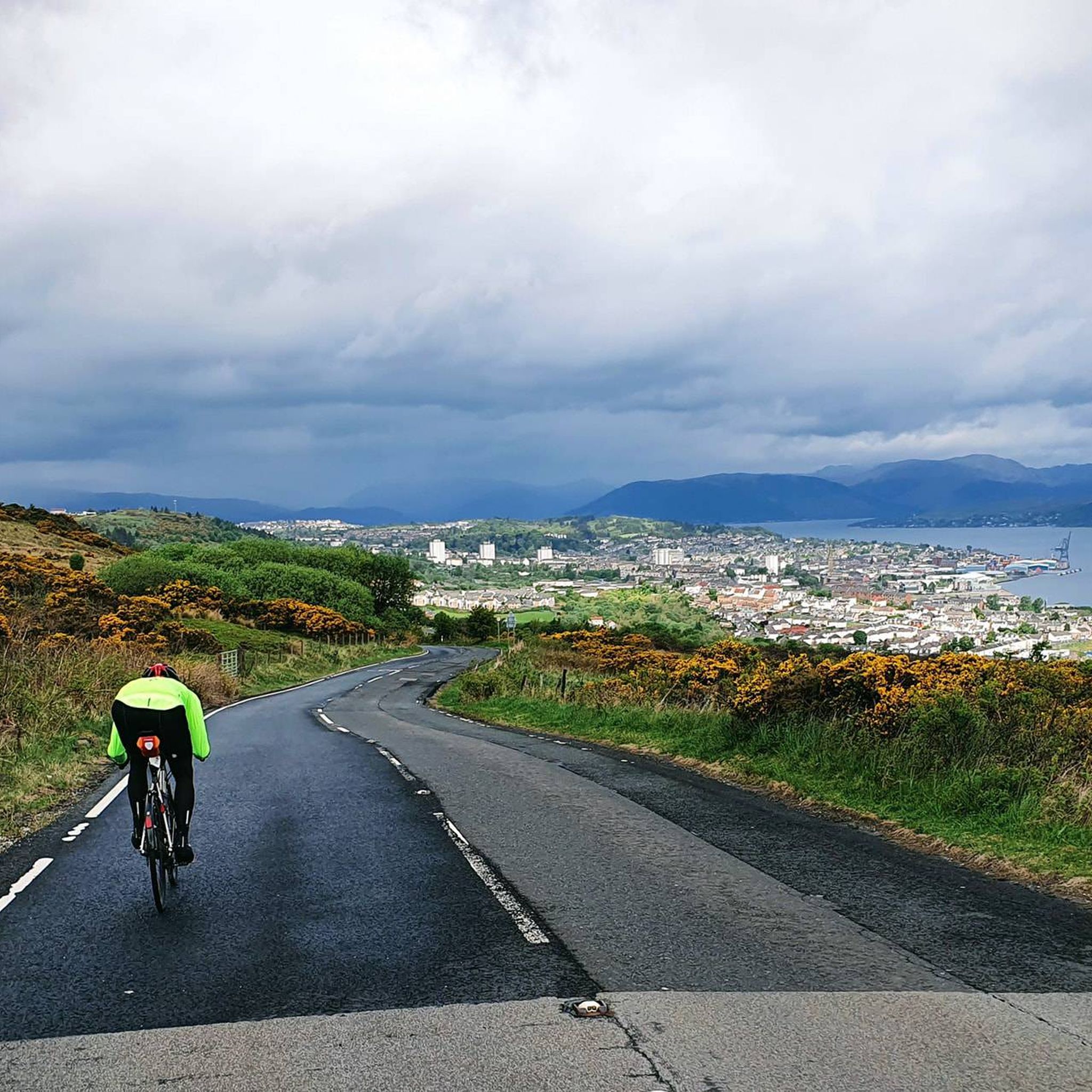
Gorgeous little lighthouse between Lunderston Bay and Greenock, along National Cycle Route. It's a shared pavement section here, which can be a bit narrow in places and often has cars parked on it, stay awake!
0
0

Beautiful views on a nice day and smooth flat cycle paths, watch out for dog walkers who ignore the lanes though!
0
0

There's an enjoyable promenade to ride on here, flat surface, fairly quick going. In warmer summer months many people will be walking along here. Use a bell on your bike
0
0
Frequently Asked Questions
What kind of terrain can I expect on running routes in Clyde Muirshiel Regional Park?
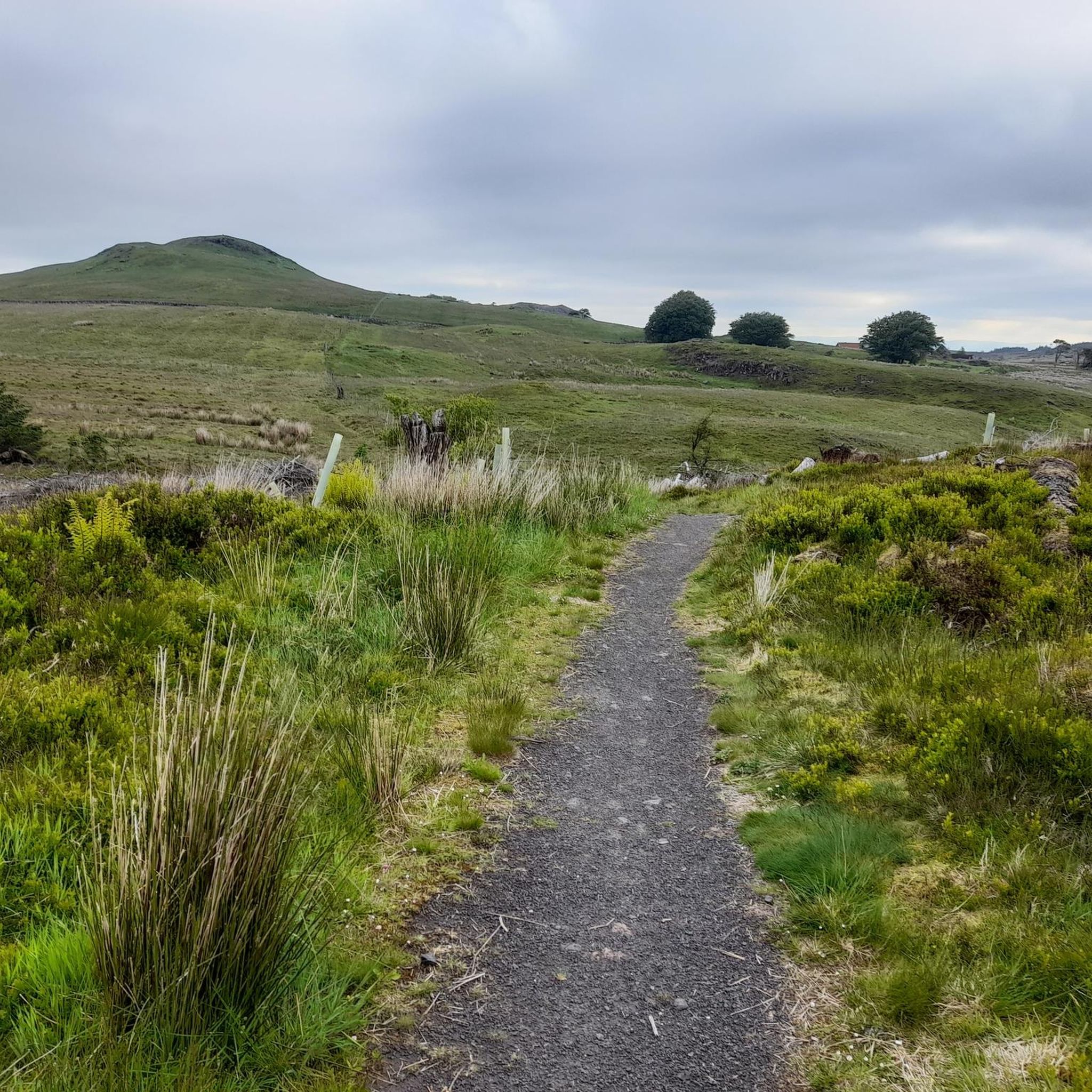
Clyde Muirshiel Regional Park offers a diverse range of terrains suitable for various running preferences. You'll find smooth, paved cycle paths with scenic views, accessible loch-side trails, and more challenging heather-covered hills and woodland routes. The park also features extensive moorlands and areas with coastal views, providing a varied landscape for your run.
Are there any easy or beginner-friendly running routes in Clyde Muirshiel Regional Park?
While the komoot community has rated most routes as moderate or difficult, the park does offer accessible trails, particularly around the lochs. The Cloch Lighthouse – McInroy's Point Ferry Terminal loop from Lunderston Bay is a moderate coastal route with less elevation gain, offering a scenic option for those looking for a less strenuous run.
Can I find circular running routes in Clyde Muirshiel Regional Park?
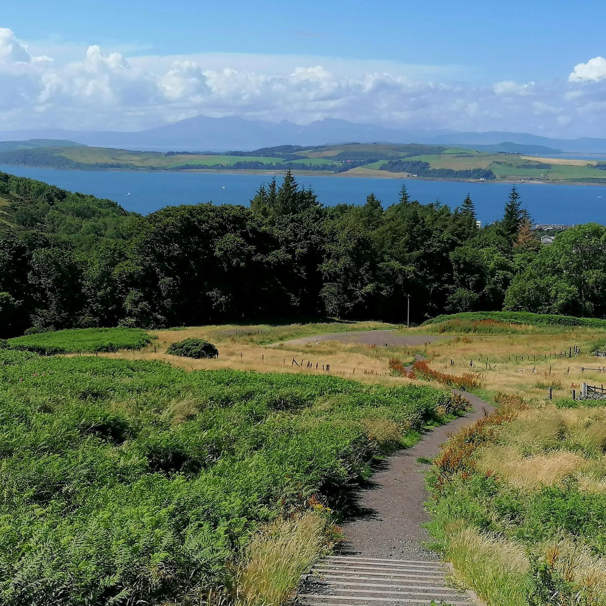
Yes, many of the running routes in Clyde Muirshiel Regional Park are circular, allowing you to start and finish at the same point. For example, the popular Loch Thom & Dunrod Hill Moors loop from Greenock Cut Visitor Centre is a circular route offering great views.
What are some notable natural features or viewpoints I might encounter on a run?
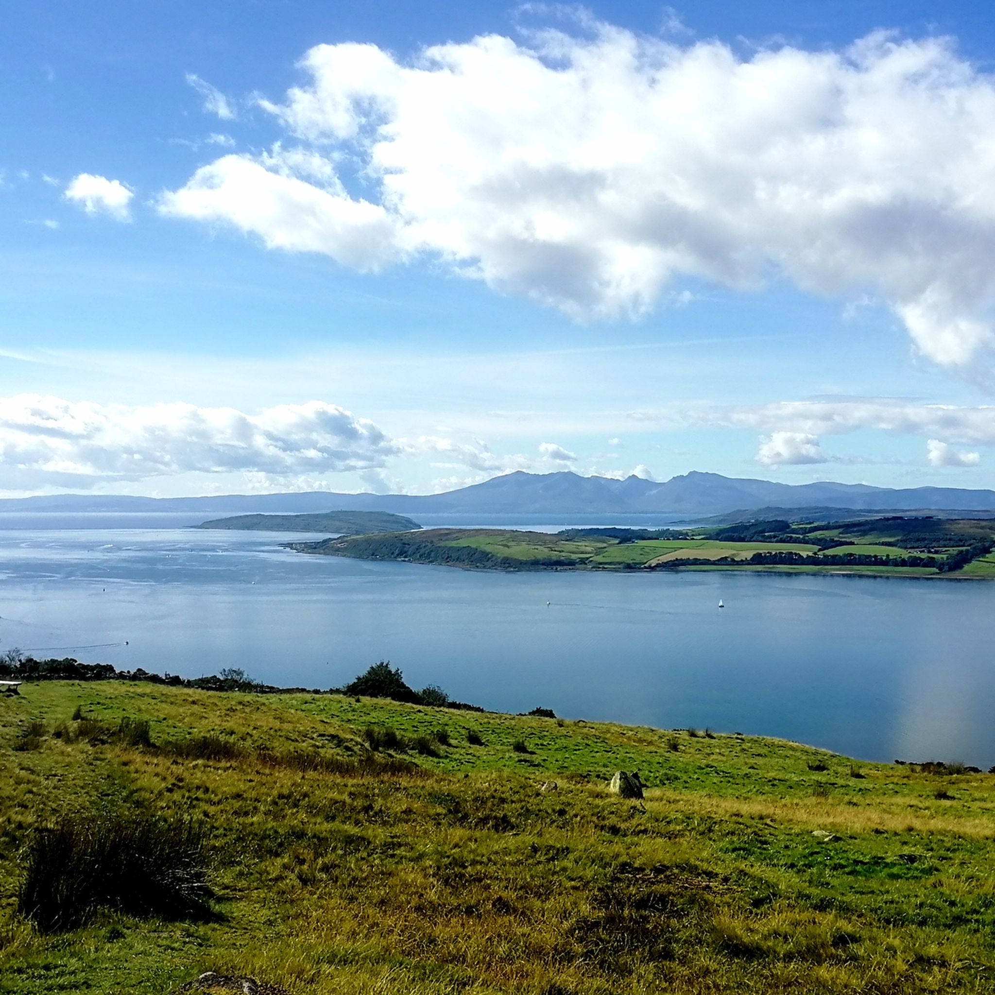
Runners can experience stunning views and wide-open spaces across the Renfrewshire Heights, including atmospheric Misty Law and Hill of Stake. The park features three significant lochs, with Castle Semple Loch and Loch Thom being prominent. Coastal routes, such as those near Lunderston Bay, offer beautiful vistas of the shore.
Are there any historical sites or landmarks along the running trails?
Yes, you can incorporate historical interest into your run. The park features sites like the 16th-century ruins of Castle Semple Collegiate Church or the abandoned Barytes mine in Muirshiel Country Park. You might also pass by Barr Castle or Fairlie Castle on some routes.
Is Clyde Muirshiel Regional Park suitable for family runs?
The park offers various trails, and while many are rated moderate, there are accessible paths that can be suitable for families. The loch shores, such as the Castle Semple Loch loop, often provide flatter and easier routes. Always check the specific route details for distance and elevation to ensure it matches your family's ability.
Are dogs allowed on the running trails in Clyde Muirshiel Regional Park?
Clyde Muirshiel Regional Park is generally dog-friendly, but it's always recommended to keep dogs under control, especially in areas with livestock or wildlife. Please check local signage for any specific restrictions on certain trails or during particular seasons.
Where can I find parking for running routes in the park?
Visitor Centres like the Castle Semple Visitor Centre and the Greenock Cut Visitor Centre typically offer parking facilities. Many trailheads also have designated parking areas. It's advisable to check the specific route details on komoot for parking information related to your chosen running path.
Are there cafes or facilities available near the running routes?
Yes, facilities like the Castle Semple Visitor Centre provide amenities including cafes, accessible changing rooms, and toilets, which can be convenient for longer runs. Some routes might also pass through or near villages with local cafes and pubs.
What do other runners enjoy most about jogging in Clyde Muirshiel Regional Park?
The area is highly rated by the komoot community, with an average score of 5.0 stars. Reviewers often praise the diverse landscapes, from coastal paths to wild hills, and the variety of terrains that cater to different fitness levels. The well-maintained trail networks and scenic beauty are frequently highlighted as key attractions.
How long are the running trails in Clyde Muirshiel Regional Park?
The running trails in Clyde Muirshiel Regional Park vary significantly in length. You can find routes ranging from shorter paths of around 3.6 miles (5.8 km), like the Kaim Hill loop from Fairlie, to longer trails exceeding 8 miles (13 km), such as the Kenmure Hill Temple loop from Lochwinnoch. This variety allows runners to choose a distance that suits their training or preference.
What is the best time of year for running in Clyde Muirshiel Regional Park?
Clyde Muirshiel Regional Park is enjoyable for running year-round, but each season offers a different experience. Spring and autumn provide pleasant temperatures and beautiful scenery with changing foliage. Summer is ideal for longer days and exploring more remote trails. Winter runs can be invigorating, but be prepared for potentially wet or icy conditions, especially on higher ground.
Most popular routes around Clyde Muirshiel Regional Park
Most popular attractions around Clyde Muirshiel Regional Park

Get inspired with the komoot mobile app


Explore more
Browse the best Running Trails & Routes in other regions.
