The best walks and hikes around Argés
4.5
(253)
1,975
hikers
87
hikes
Hiking around Argés offers routes through the varied landscape of the Toledo province, characterized by its plains, river valleys, and the nearby Embalse de Guajaraz reservoir. The region features a mix of open countryside and areas alongside the Tagus River, providing diverse scenery for outdoor activities. Trails often traverse gentle hills and agricultural lands, with some routes exploring historical areas near Toledo. The terrain is generally accessible, making it suitable for a range of hiking abilities.
Best hiking trails around…
Last updated: July 2, 2026
3.0
(2)
7
hikers
10.7km
02:49
100m
100m
Moderate hike. Good fitness required. Easily-accessible paths. Suitable for all skill levels.
5.0
(2)
4
hikers
13.8km
03:34
90m
80m
Moderate hike. Good fitness required. Easily-accessible paths. Suitable for all skill levels.

Sign up for free
11
hikers
5.81km
01:33
60m
60m
Easy hike. Great for any fitness level. Easily-accessible paths. Suitable for all skill levels.
3
hikers
6.92km
01:53
100m
100m
Easy hike. Great for any fitness level. Easily-accessible paths. Suitable for all skill levels.
1
hikers
17.0km
04:44
310m
310m
Moderate hike. Good fitness required. Easily-accessible paths. Suitable for all skill levels.
Get access to more routes and recommendations from other explorers.
Sign up for free
Already have an account?
Our route recommendations are based on thousands of hikes, rides, and runs completed by other people on komoot.
Start today with a free account
Your next adventure awaits.
Login or Signup

Tips from the Community

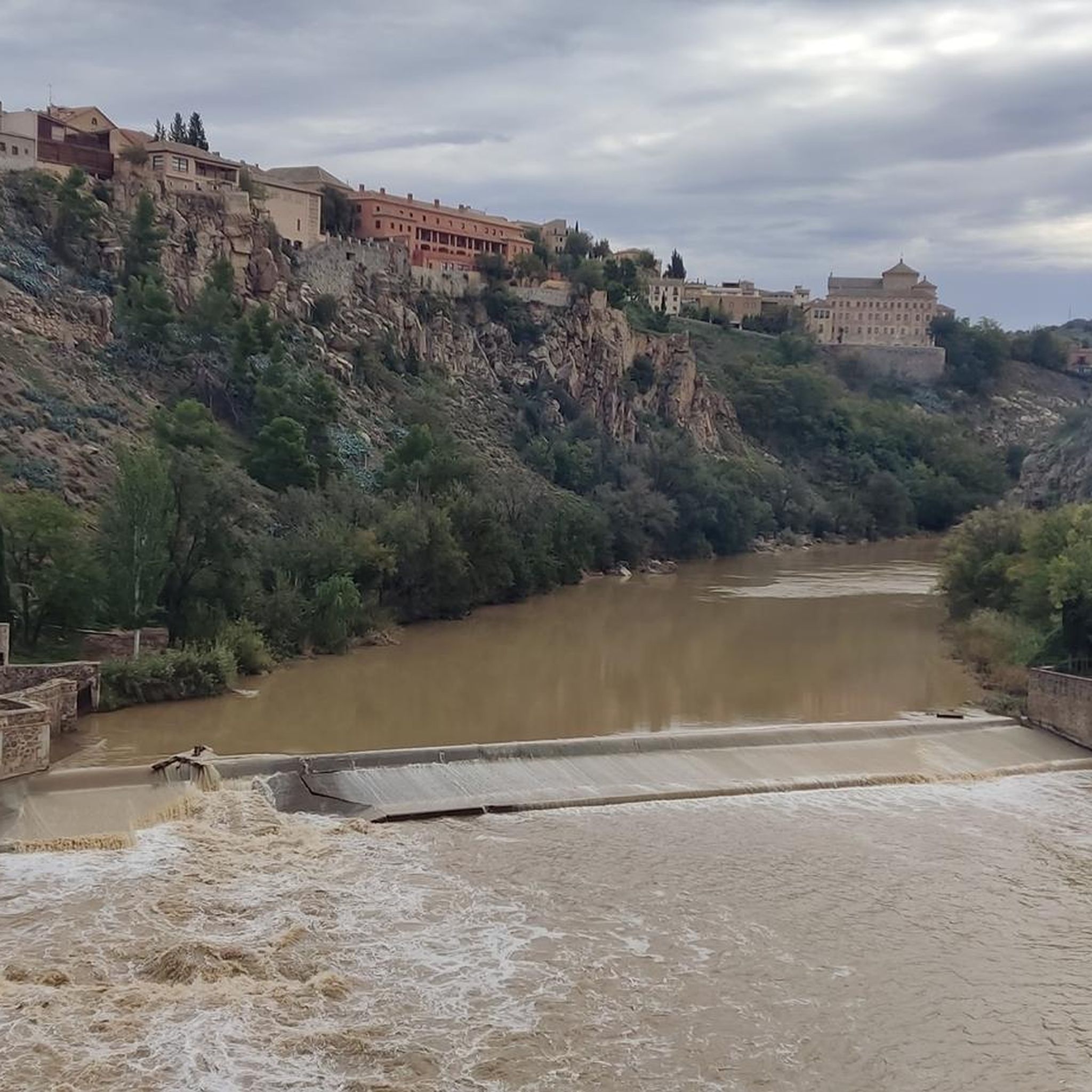
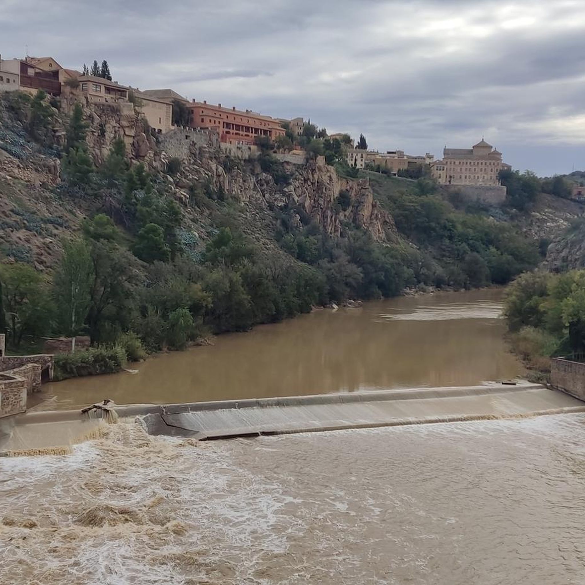
One of the best panoramic views of the city of Toledo.
0
0

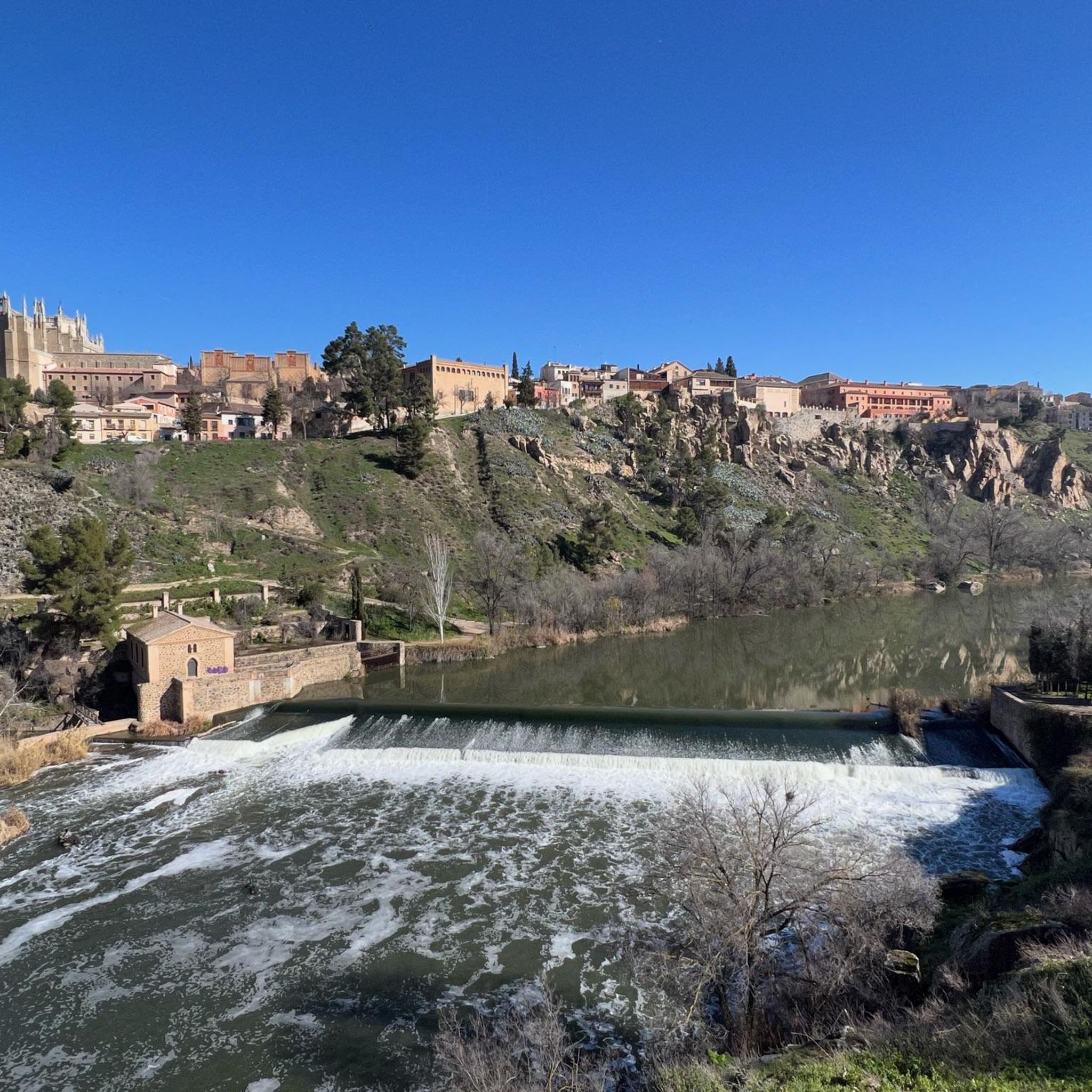
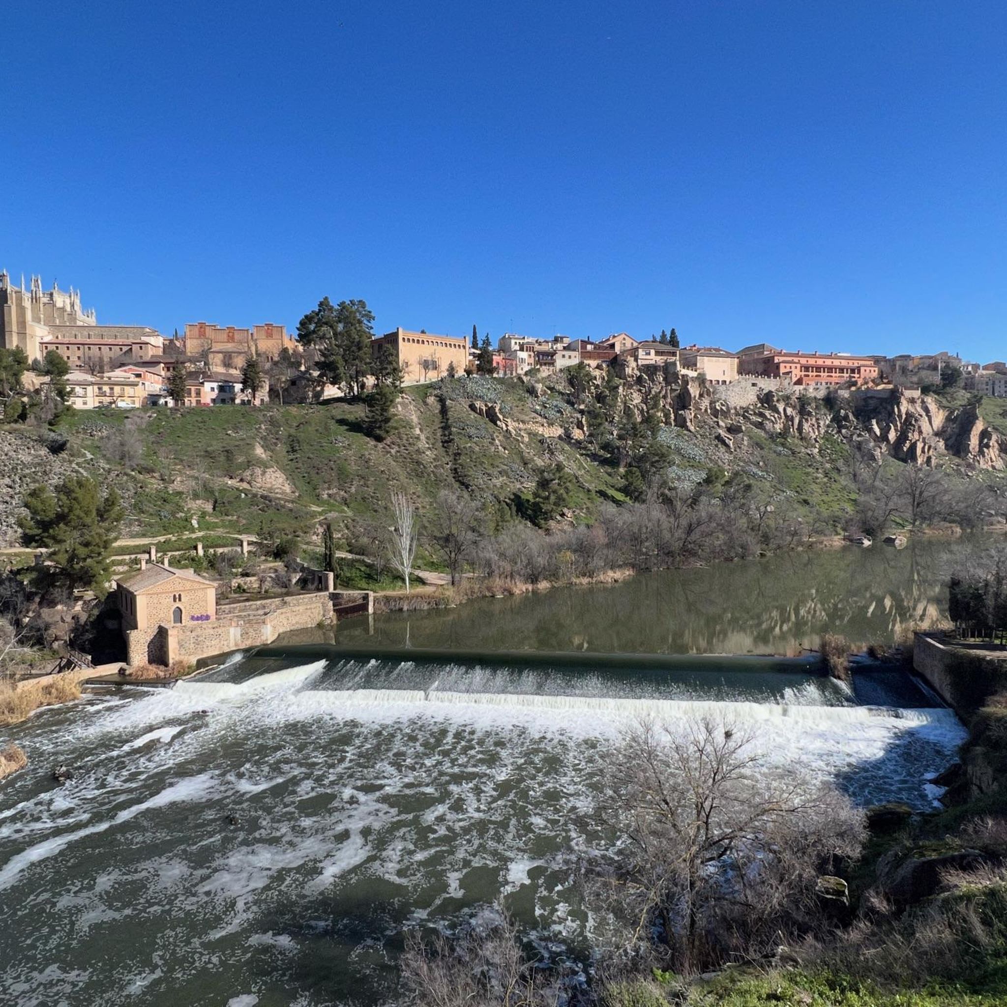
How beautifully the Tagus winds around Toledo
8
1

The Alcántara Bridge is one of Toledo's most important historical gateways and a key engineering feat dating back to Roman times. Originally built by the Romans as part of the roads crossing the Tagus River towards the city of Toletum, it was rebuilt in several stages due to damage and flooding of the Tagus. Notable phases include: 10th century: renovation under Islamic rule (the horseshoe arch was added). 13th century: reconstruction under Alfonso X, from which the western tower originates. 1721: replacement of the eastern tower with a Baroque triumphal arch. One of the Alcántara Bridge's greatest attractions is that it offers one of the best panoramic views of the Alcázar of Toledo, thanks to its low position next to the Tagus River.
1
0
From this privileged vantage point, you can see: The Alcázar of Toledo. The Primate Cathedral. The Alcántara Bridge and the San Martín Bridge. The Monastery of San Juan de los Reyes. The medieval walls and the urban layout of the old town.
10
0
The Mirador del Valle is one of Toledo's most iconic and spectacular locations, ideal for enjoying a complete panoramic view of the imperial city. It is located on the Circunvalación Highway, south of Toledo's historic center, just across the Tagus River. From there, you get a frontal view of the city, with the river winding at your feet and the most important monuments framed by the landscape.
10
0
The Bisagra Gate is one of Toledo's most iconic monuments and a monumental entrance to its historic center. Muslim Origin: The original gate, known as the Old Bisagra Gate or Bab al-Saqra ("Sacred Gate"), was built in the 9th century during Islamic rule. Renaissance Reconstruction: In the 16th century, under the reigns of Charles V and Philip II, the New Bisagra Gate was built, the gate that remains today. Construction began around 1540 and was completed in 1576. Notable Architects: Alonso de Covarrubias, Nicolás de Vergara the Elder, Juan de Benavides, Eugenio Sánchez, among others, participated.
10
0
The Alcántara Bridge is one of Toledo's most iconic monuments, with a history dating back to Roman times and an architecture that has evolved over the centuries. Originally built by the Romans in the 3rd century AD, as part of the network of roads that connected the Empire. Its name comes from the Arabic "al-qanṭarah," meaning "the bridge," given by the Muslims after its reconstruction in the 10th century.
10
0
The Mirador del Valle is one of Toledo's most iconic and visited locations, ideal for enjoying a spectacular panoramic view of the historic city, with the Tagus River winding at its feet.
8
0
Frequently Asked Questions
How many hiking trails are available in Argés?
Argés offers a wide selection of routes, with over 90 hiking trails available. These range from easy strolls to more challenging day hikes, ensuring options for various fitness levels.
Are there easy hiking routes suitable for beginners in Argés?
Yes, Argés has plenty of options for beginners and those looking for an easier walk. Approximately 42 of the trails are rated as easy, often traversing gentle hills and open countryside. An example is the San Martín Bridge – Toledo Cathedral loop from El Greco Museum, which is an easy 6.6 km route.
Can I find circular hiking routes around Argés?
Yes, circular routes are a popular choice in the area. One notable option is the Embalse de Guajaraz — circular from Argés, which offers scenic views of the reservoir and surrounding rural landscape over 10.7 km.
What are the best times of year to go hiking in Argés?
The best times to hike in Argés are generally spring (March to May) and autumn (September to November). During these seasons, the weather is mild and pleasant, making for comfortable hiking conditions. Summers can be very hot, and winters are typically mild but can be damp.
Are there any family-friendly hiking options in Argés?
Many of the easier trails in Argés are suitable for families. These routes often feature accessible terrain and shorter distances, allowing for an enjoyable outing with children. Look for trails rated as 'easy' on komoot for the most suitable options.
What kind of terrain can I expect on hikes in Argés?
Hiking in Argés typically involves varied terrain, including open countryside, agricultural lands, and paths alongside the Tagus River. You'll encounter gentle hills and some routes exploring historical areas. The landscape is characterized by plains and river valleys, with generally accessible paths.
Are there any historical sites or attractions to see along the trails near Argés?
Yes, the region around Argés is rich in history. Many trails offer opportunities to see historical sites. For example, the Route of the Three Castles (PR-TO 38) connects several historical points. Nearby attractions include the impressive San Servando Castle and the iconic Toledo Cathedral.
Is it possible to hike with dogs on trails in Argés?
Many trails in the Argés area are dog-friendly, especially those in open countryside and natural areas. However, it's always advisable to keep your dog on a leash, particularly near agricultural land or wildlife, and to check local regulations for specific routes or protected areas.
What do other hikers say about the trails in Argés?
The trails in Argés are highly rated by the komoot community, with an average score of 4.4 stars from over 260 reviews. Hikers often praise the diverse scenery, from reservoir views to river paths, and the well-maintained network of routes suitable for various abilities.
How can I get to the hiking trails in Argés using public transport?
While Argés itself is a smaller town, public transport options, primarily buses, connect it to the larger city of Toledo. From Toledo, you may find local bus services that can take you closer to specific trailheads. It's recommended to check local bus schedules for the most up-to-date information.
Where can I park when hiking in Argés?
Parking is generally available in and around Argés, particularly near the town center or at designated starting points for popular trails. For routes like those around the Embalse de Guajaraz, you can often find informal parking areas. Always ensure you park responsibly and do not obstruct access.
Are there any hikes that offer views of the Embalse de Guajaraz?
Yes, the Embalse de Guajaraz is a prominent feature in the Argés landscape. The Embalse de Guajaraz — circular from Argés route is specifically designed to showcase the reservoir, offering beautiful views of the water and its surroundings.
What are the typical durations for hikes in Argés?
Hikes in Argés vary in duration. Many easy routes can be completed in 1-2 hours, while moderate trails, such as the Azucaica from Toledo via the Tajo Natural Path (GR-113) — round trip, might take around 4 hours. There are options for both short walks and longer day hikes.
Most popular attractions around Argés

Get inspired with the komoot mobile app


Explore more
Browse the best Hikes in other regions.
