The best walks and hikes around Cenicero
4.6
(263)
1,691
hikers
128
hikes
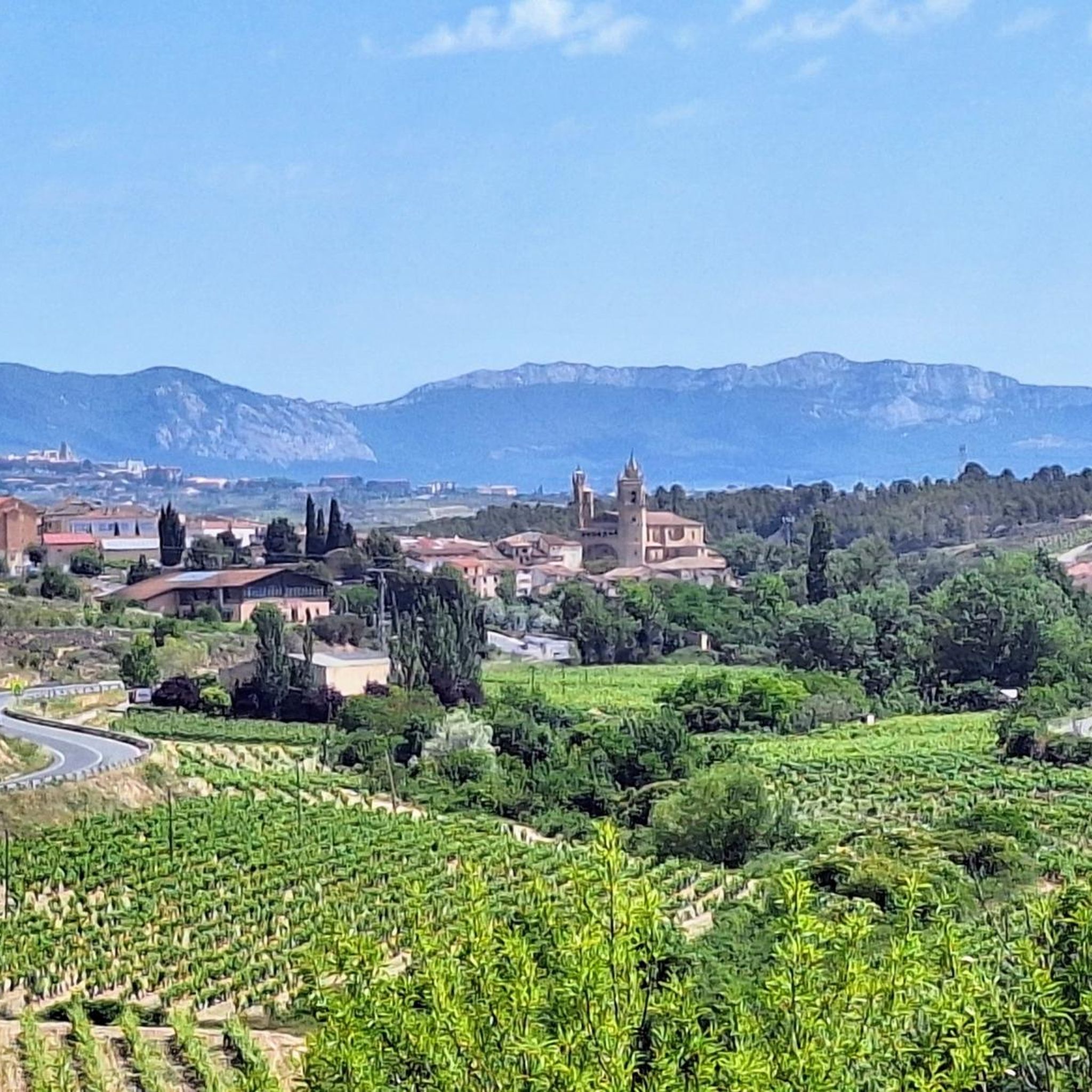
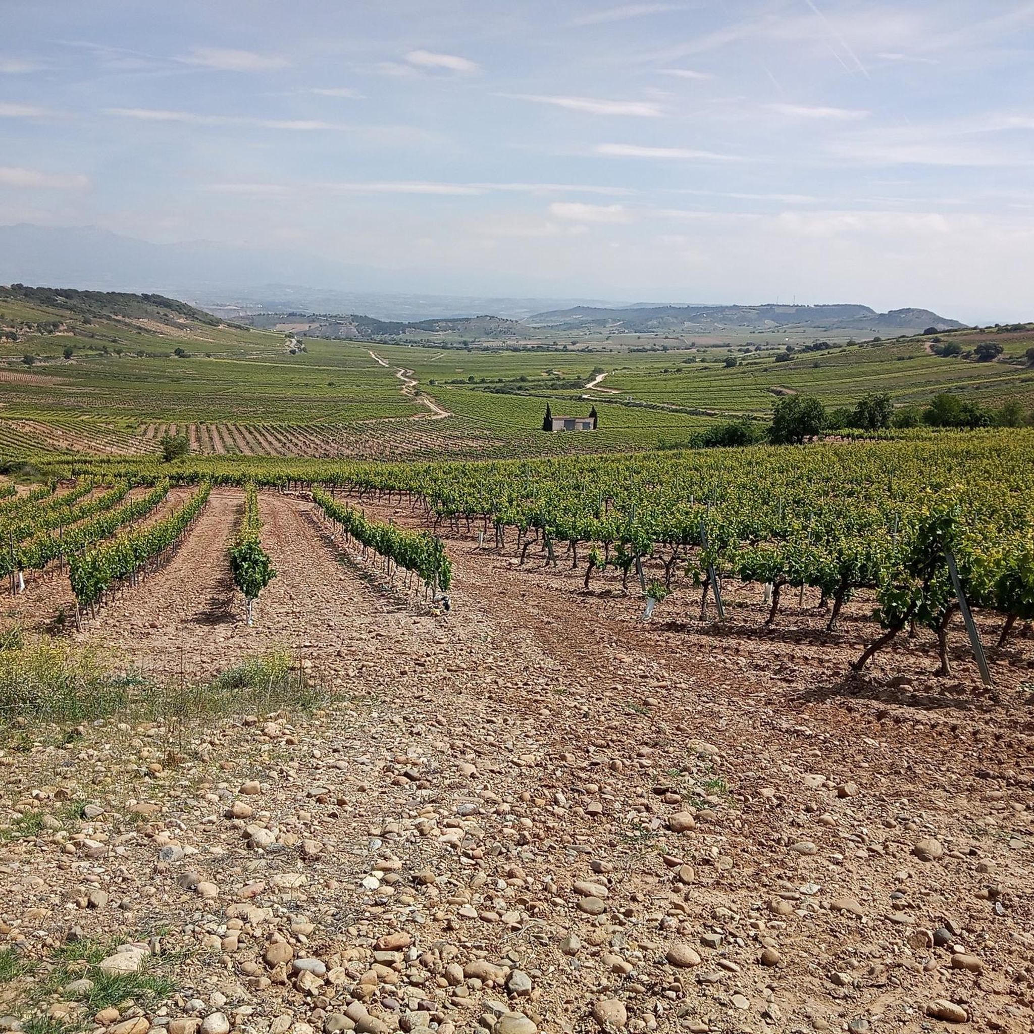
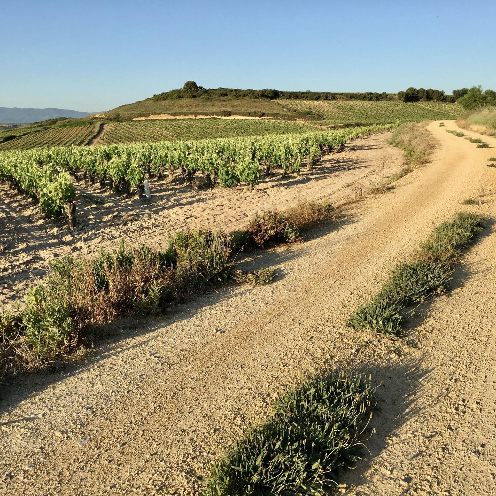
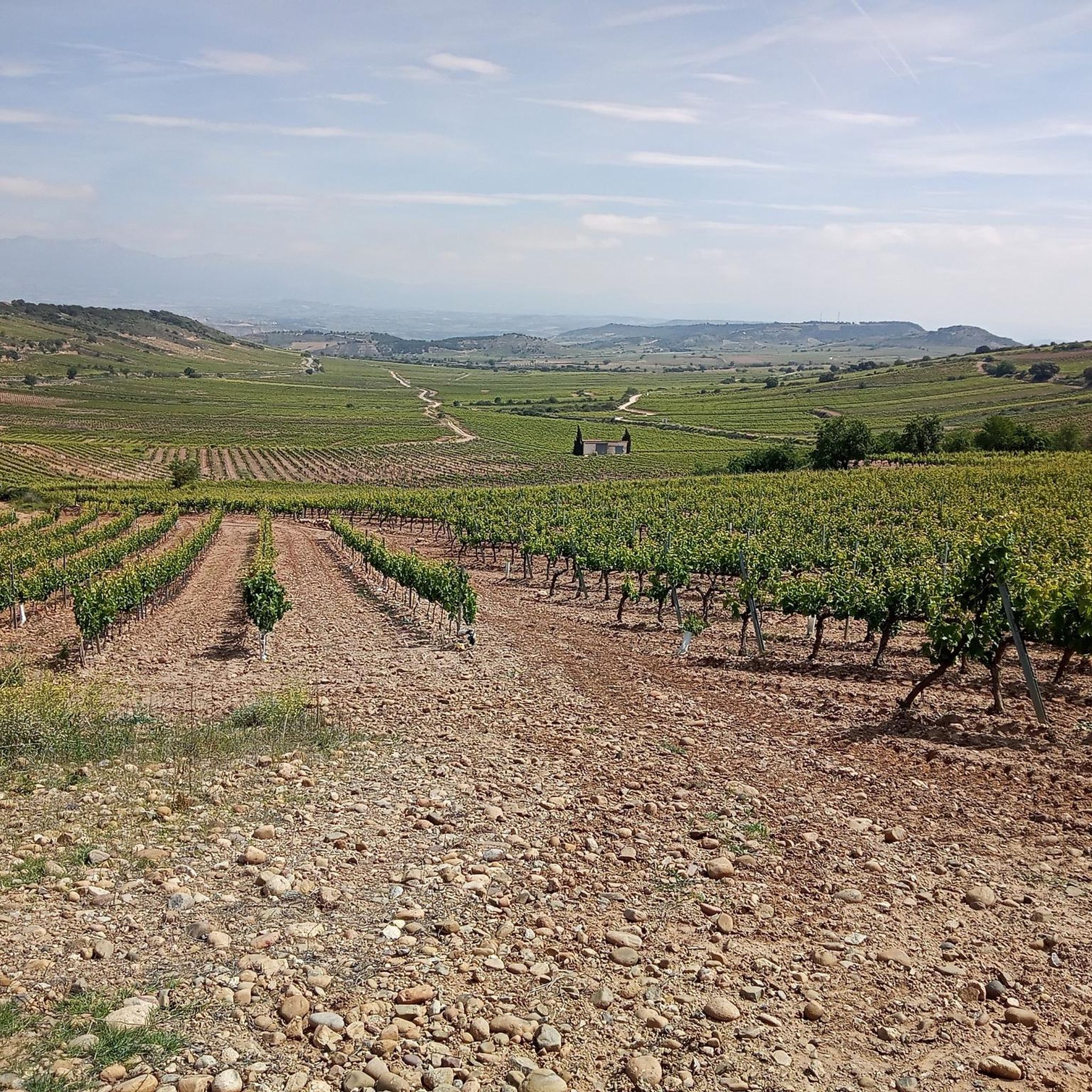
Hiking around Cenicero offers a diverse landscape for outdoor enthusiasts. The region is characterized by its river valleys, rolling hills, and extensive vineyards, providing varied terrain for exploration. Trails often traverse agricultural lands and natural areas, with some routes featuring historical elements or scenic viewpoints. The network of paths caters to different levels of experience, from gentle walks to more challenging hikes.
Best hiking trails around Cenicero
- The most popular hiking route is Poyo de Roldán Stone Hut – Bridge over the Yalde River loop from Alto de San Antón, an 18.0 miles (29.0 km) difficult trail that takes 7 hours 51 minutes to complete. This route features significant elevation changes and expansive views.
- Another top favourite among local hikers is Poyo de Roldán Stone Hut – Bridge over the Yalde River loop from San Antón, a moderate 11.0 miles (17.7 km) path. This trail offers a mix of open landscapes and riverine scenery.
- Local hikers also love the Art and Nature in Nájera – Ventosa loop from Las Arenas, a 7.6 miles (12.3 km) trail leading through varied terrain, often completed in about 3 hours 18 minutes.
- Hiking around Cenicero is defined by its river valleys, vineyard landscapes, and gentle hills. The network offers options for different ability levels, from easy walks to more demanding excursions.
- The routes in Cenicero are highly rated by the komoot community with an average score of 4.6 stars from 204 reviews. More than 1200 hikers have used komoot to explore Cenicero's varied terrain.
Last updated: August 27, 2026
4.3
(75)
421
hikers
Hard hike. Very good fitness required. Easily-accessible paths. Suitable for all skill levels.
4.3
(4)
41
hikers
12.1km
03:16
150m
150m
Moderate hike. Good fitness required. Easily-accessible paths. Suitable for all skill levels.

Sign up for free
12
hikers
7.15km
01:56
100m
100m
Easy hike. Great for any fitness level. Easily-accessible paths. Suitable for all skill levels.
5.0
(2)
9
hikers
16.9km
04:38
270m
270m
Moderate hike. Good fitness required. Easily-accessible paths. Suitable for all skill levels.
5.0
(3)
6
hikers
14.6km
04:00
240m
240m
Moderate hike. Good fitness required. Easily-accessible paths. Suitable for all skill levels.
Get access to more routes and recommendations from other explorers.
Sign up for free
Already have an account?
Our route recommendations are based on thousands of hikes, rides, and runs completed by other people on komoot.
Start today with a free account
Your next adventure awaits.
Login or Signup
Tips from the Community


Detailed information is available on the sign.
1
0

Right next to the church of Santa María la Real.
1
0
It does not detract from the church of San Juan at all.
1
0
Whenever I come to this place, I stop to look at it, it's very curious.
1
0
One of the most beautiful emblazoned houses.
1
0

Small rest area for pilgrims between Navarrete and Ventosa. Just a shaded bench to protect from the sun.
0
0
Frequently Asked Questions
How many hiking trails are available in Cenicero?
Cenicero offers a wide variety of hiking experiences, with over 110 routes available. These range from easy strolls through vineyards to more challenging excursions across varied terrain.
What do other hikers enjoy most about hiking in Cenicero?
The hiking routes in Cenicero are highly rated by the komoot community, with an average score of 4.6 stars from over 200 reviews. Hikers often praise the diverse landscapes, including river valleys and extensive vineyards, as well as the well-maintained paths that cater to different skill levels.
Are there easy hiking trails suitable for beginners in Cenicero?
Yes, Cenicero is very welcoming for beginners. There are 53 easy routes available, offering gentle walks through the region's scenic river valleys and vineyard landscapes. An example of an easy route is the Hotel Marqués de Riscal – Marqués de Riscal Winery loop from Elciego, which is just over 3.5 miles (5.6 km) long.
Are there any circular walks around Cenicero?
Many of the trails around Cenicero are designed as circular routes, allowing you to start and end at the same point. For example, the challenging Poyo de Roldán Stone Hut – Bridge over the Yalde River loop from Alto de San Antón and the moderate Poyo de Roldán Stone Hut – Bridge over the Yalde River loop from San Antón are both excellent circular options.
What natural sights can I explore while hiking in Cenicero?
The Cenicero region is rich in natural beauty. You can discover several lakes and reservoirs, such as the beautiful La Grajera Reservoir and Laguna Prao de la Paul. The Red Rocks of Nájera also offer a striking natural monument to explore.
Are there any historical or cultural landmarks near Cenicero's hiking trails?
Yes, the area around Cenicero features interesting historical sites. You can visit the ancient Dolmen of the Witch's Hut, a megalithic burial chamber, or spot the iconic Osborne Bull, a traditional Spanish roadside advertisement that has become a cultural landmark.
Is Cenicero a good destination for family-friendly hikes?
Cenicero offers several routes suitable for families, particularly among its 53 easy trails. These paths often traverse gentle terrain through vineyards and along riverbanks, providing a pleasant experience for all ages. Look for shorter, less strenuous options for younger children.
Can I bring my dog on the hiking trails in Cenicero?
Generally, dogs are welcome on many hiking trails in the Cenicero region. However, it's always advisable to keep your dog on a leash, especially when passing through agricultural areas or near livestock, and to check specific trail regulations if available. Always carry water for your pet and clean up after them.
What is the best time of year to go hiking in Cenicero?
The best time to hike in Cenicero is typically during spring (April to June) and autumn (September to November). During these seasons, the weather is mild, and the landscapes are particularly beautiful, with blooming wildflowers in spring and vibrant colors in autumn. Summer can be hot, while winter offers a quieter experience, though some paths might be muddy.
Is parking available at trailheads in Cenicero?
Parking is generally available in and around Cenicero, particularly in the towns and villages where many trails begin. Specific trailhead parking can vary, so it's recommended to check local signage or use komoot's route planner to identify suitable starting points with parking options.
Are there cafes or places to eat near the hiking trails in Cenicero?
Cenicero and the surrounding villages offer various options for refreshments. You'll find local cafes, bars, and restaurants where you can enjoy traditional Riojan cuisine and wines. Many trails pass through or near these settlements, making it convenient to stop for a break or a meal.
How can I reach the trailheads around Cenicero using public transport?
While Cenicero is well-connected by road, public transport options to specific trailheads can be limited. Buses serve Cenicero from larger towns like Logroño. For more remote starting points, a car is often the most convenient option. Always check current bus schedules and routes for the most up-to-date information.
Most popular attractions around Cenicero

Get inspired with the komoot mobile app


Explore more
Browse the best Hikes in other regions.
