The best MTB trails around Almendral De La Cañada
4.9
(20)
450
riders
52
rides
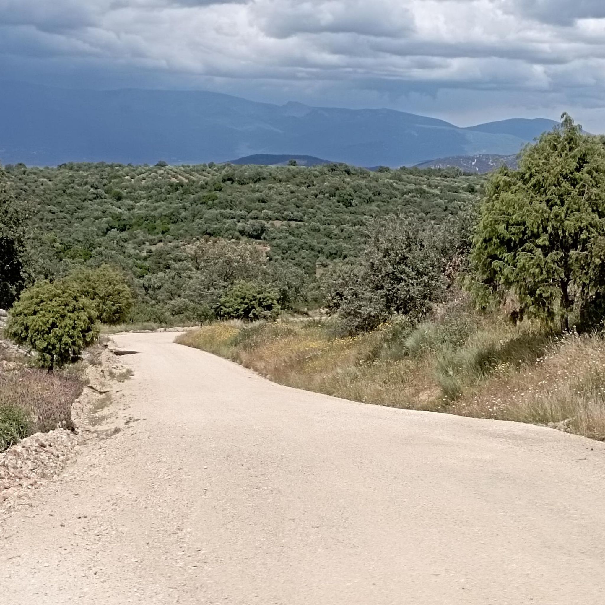
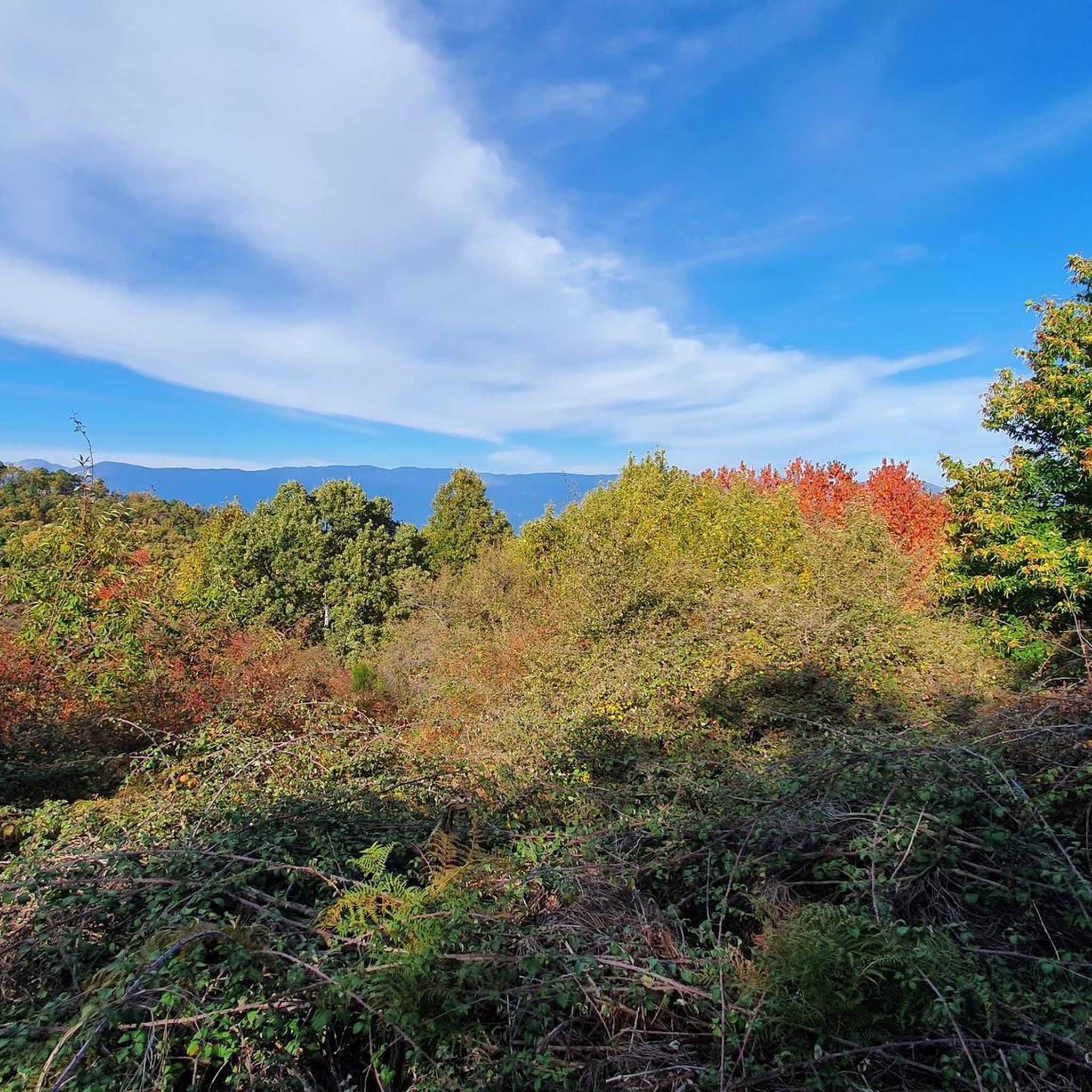
Mountain biking around Almendral De La Cañada offers diverse terrain in the foothills of the Sierra de San Vicente, extending towards the Tiétar valley. The region features mid-mountain ecosystems, transitioning from lower pasturelands to mixed forests of oak and pine, providing varied landscapes for cycling. Elevation changes are present across the routes, with trails traversing both gentle tracks and more demanding paths. Natural springs and historical elements like ancient drovers' roads are also encountered along the way.
Best mountain bike…
Last updated: June 24, 2026
1
riders
36.9km
04:16
1,370m
1,370m
This demanding 22.9-mile mountain biking route in Sierra de San Vicente offers rugged terrain, significant climbs, and panoramic views.
10
riders
Hard mountain bike ride. Very good fitness required. Suitable for all skill levels.

Sign up for free
8
riders
Moderate mountain bike ride. Good fitness required. Advanced riding skills necessary.
5.0
(2)
7
riders
Moderate mountain bike ride. Good fitness required. Suitable for all skill levels.
5.0
(1)
5
riders
Moderate mountain bike ride. Good fitness required. Advanced riding skills necessary.
Get access to more routes and recommendations from other explorers.
Sign up for free
Already have an account?
Our route recommendations are based on thousands of hikes, rides, and runs completed by other people on komoot.
Start today with a free account
Your next adventure awaits.
Login or Signup

Tips from the Community

This section of forest trail is shared between the Viriato Trail and the Las Merinas Trail. The path runs through a privileged natural setting where you can enjoy native flora and fauna.
0
0
El Real de San Vicente is located at the foot of the mountain range from which it takes its name, in a prime setting for outdoor activities. Its location is associated with military settlements in the 11th and 12th centuries. Remains of its millennia-long occupation are preserved in the village.
0
0


The Mosquea Bridge is located in La Adrada, Ávila, and is part of the Medieval Bridges Route that crosses the Tiétar River. It's an ideal place to enjoy a peaceful walk surrounded by nature, with views of beautiful holm oaks, pines, and junipers. The route is easy to walk and suitable for almost everyone.
5
0
The place name Pelahustán seems to derive from the activity related to looms and the sale of linen that the population had in the past. In documents from the 18th century, it appears as Pelafustan. According to the dictionary of the Royal Spanish Academy, the concept of pelafustán is equated with that of pelagatos, which in turn means “insignificant or mediocre person, without social or economic position.” The town also had several water mills worked by Salamancan teleworkers. Pelahustán is located at an altitude of 673 meters above sea level and borders the terms of Higuera de las Dueñas in the province of Ávila, Nombela, Nuño Gómez, Garciotum and El Real de San Vicente in the province of Toledo, and Ceniientos in the Community of Madrid 😊
2
0


The Mosquea Bridge is a bridge of Roman origin over the Tiétar River. It stands out for its age and beauty, and is also one of the largest in the municipality of La Adrada. It is located on the important Mesta ravine.
3
0
Frequently Asked Questions
How many mountain bike trails are available around Almendral De La Cañada?
There are over 50 mountain bike trails around Almendral De La Cañada, offering a wide range of options for different skill levels. You'll find everything from easy tracks to challenging routes with significant elevation changes.
What types of terrain can I expect on mountain bike trails in Almendral De La Cañada?
The terrain around Almendral De La Cañada is diverse, transitioning from lower pasturelands and dehesas to higher mixed forests of oak and pine. You'll encounter mid-mountain ecosystems, historical drovers' roads, and paths dotted with centenary trees like holm oaks and chestnuts. Many routes feature natural springs and historical elements.
Are there any easy mountain bike trails suitable for beginners or families?
Yes, there are a couple of easy mountain bike trails available. Additionally, 27 moderate trails offer a good balance for those looking for a bit more challenge without extreme difficulty. These routes often traverse varied landscapes, making them enjoyable for different experience levels.
What are some notable natural features or landmarks to look out for on the trails?
The trails offer views of the impressive Sierra de San Vicente and diverse Mediterranean forests. You might encounter natural springs and historical fountains like the 'Caño de la Cañada'. Historical elements such as dry stone walls, ancient drovers' roads like the Cañada Real Leonesa Oriental, and remains of old pastoral huts (chozos) are also common. For specific viewpoints, consider routes that pass near San Vicente Hill (1320m) or El Piélago Pass.
Are there any circular mountain bike routes in the area?
Yes, many routes in the area are designed as loops. For example, the moderate 3-Kilometer Descent – Hinojosa de San Vicente loop from El Real de San Vicente takes you through forested areas. Another option is the moderate Main Square of Pelahustán – El Real de San Vicente loop from El Real de San Vicente.
What is the best time of year to go mountain biking in Almendral De La Cañada?
Almendral de la Cañada benefits from a mild climate due to its location in the foothills of the Sierra de San Vicente and at the head of the Tiétar valley. This makes it suitable for mountain biking for much of the year. Spring and autumn generally offer the most pleasant temperatures, while summer mornings can also be enjoyable before the heat sets in.
What do other mountain bikers say about the trails in Almendral De La Cañada?
The mountain bike routes in Almendral De La Cañada are highly rated by the komoot community, with an average score of 4.9 stars from around 16 reviews. Many riders praise the diverse terrain, the stunning natural backdrop of the Sierra de San Vicente, and the variety of trails suitable for different abilities.
Are there any challenging mountain bike trails for experienced riders?
Absolutely. There are 23 difficult trails for experienced mountain bikers. One such challenging route is the Viriato Trail: Sierra de San Vicente Loop, which is 22.9 miles (36.9 km) long and features significant elevation gain through the Sierra de San Vicente.
Can I find routes that pass by historical sites or cultural points of interest?
Yes, the region is rich in history. Trails often follow ancient drovers' roads like the Cañada Real Leonesa Oriental. You might also encounter historical fountains, stone walls, and even religious sites. For example, the difficult Santa María de la Nava – Puente de Los Pilones loop from Almendral de la Cañada passes by historical features such as the Puente de Los Pilones.
Are there any mountain bike trails that offer views of the Río Tiétar?
Yes, you can find routes that provide views of the Tiétar valley and the river. The moderate Río Tiétar – Puente Mosquea loop from La Iglesuela del Tiétar is an excellent option for exploring this part of the region and enjoying the river scenery.
What kind of natural ecosystems can I expect to see while mountain biking here?
You'll ride through diverse mid-mountain ecosystems. These include lower pasturelands and dehesas, transitioning into mixed forests of oak and pine. The Mediterranean forest environment features significant examples of holm oaks, cork oaks, olive trees, and gall oaks, providing a rich natural backdrop for your ride.
Most popular attractions around Almendral De La Cañada

Get inspired with the komoot mobile app


Explore more
Browse the best MTB trails in other regions.
