The best walks and hikes around Albalat Dels Tarongers
4.2
(153)
1,042
hikers
17
hikes
Hiking around Albalat Dels Tarongers offers diverse landscapes within the Camp de Morvedre region, partly encompassed by the Serra Calderona Natural Park. The area features prominent mountains like Montalt (427 meters) and El Garbí (593 meters), alongside the Palància River valley. The terrain includes extensive pine and cork oak forests, as well as agricultural areas with orange groves.
Best hiking trails around Albalat Dels Tarongers
- The most popular hiking route is The route of the Garbí chains - Circular from…
Last updated: May 27, 2026
4.8
(64)
451
hikers
7.25km
02:40
380m
390m
Hard hike. Good fitness required. Sure-footedness, sturdy shoes and alpine experience required.
4.4
(26)
60
hikers
12.9km
04:06
430m
430m
Moderate hike. Good fitness required. Mostly accessible paths. Sure-footedness required.

Sign up for free
3.0
(1)
12
hikers
16.3km
04:59
470m
470m
Hard hike. Good fitness required. Sure-footedness, sturdy shoes and alpine experience required.
5.0
(2)
24
hikers
3.99km
01:53
340m
340m
Hard hike. Good fitness required. Sure-footedness, sturdy shoes and alpine experience required.
5.0
(6)
13
hikers
5.94km
02:04
260m
260m
Moderate hike. Good fitness required. Mostly accessible paths. Sure-footedness required.
Get access to more routes and recommendations from other explorers.
Sign up for free
Already have an account?
Our route recommendations are based on thousands of hikes, rides, and runs completed by other people on komoot.
Start today with a free account
Your next adventure awaits.
Login or Signup

Tips from the Community

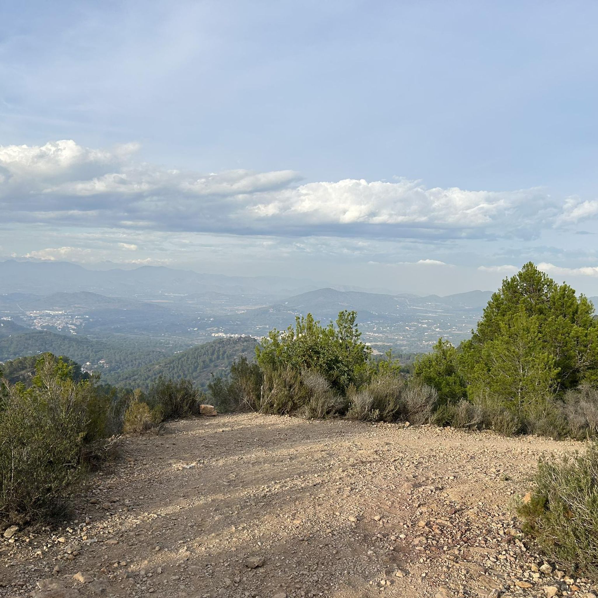
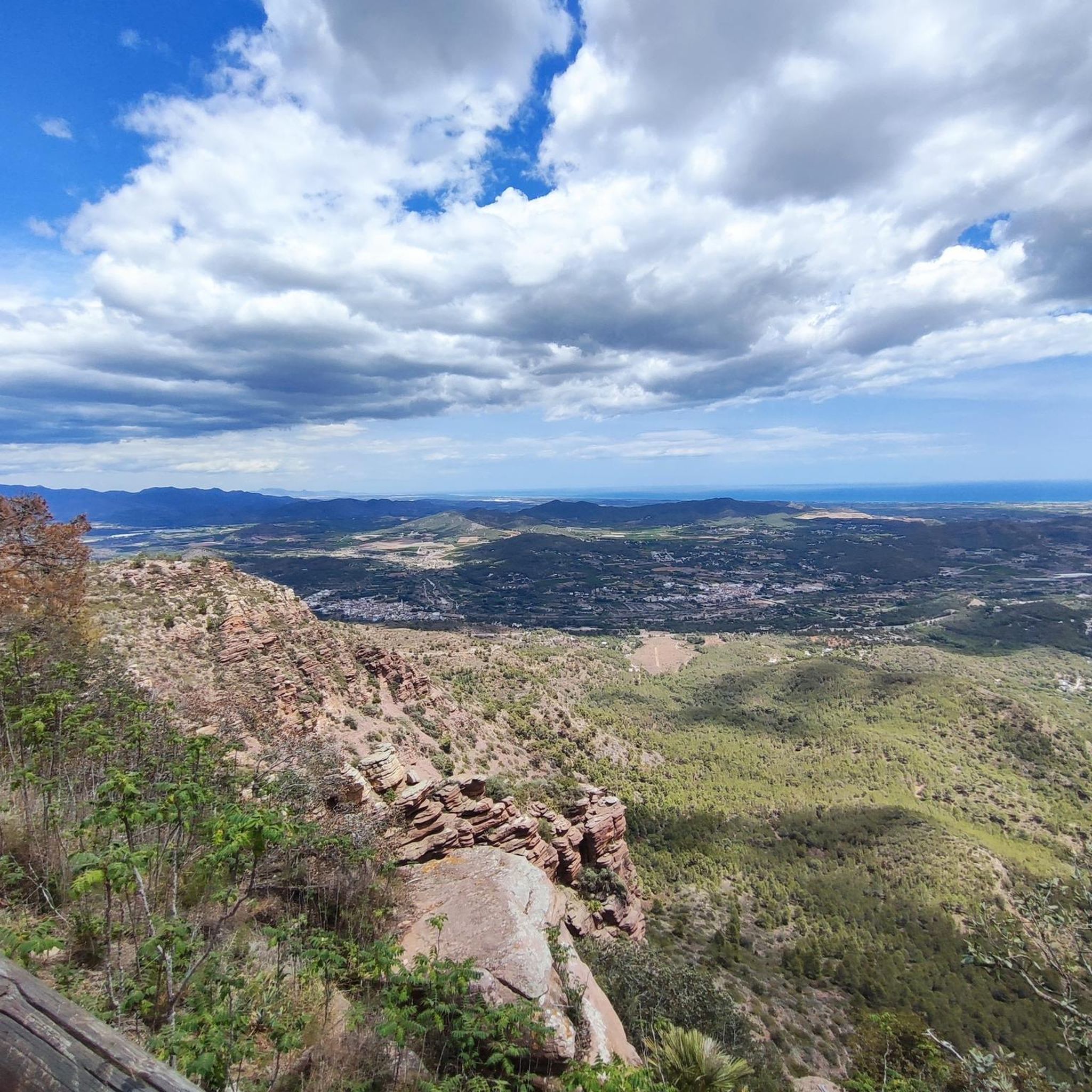
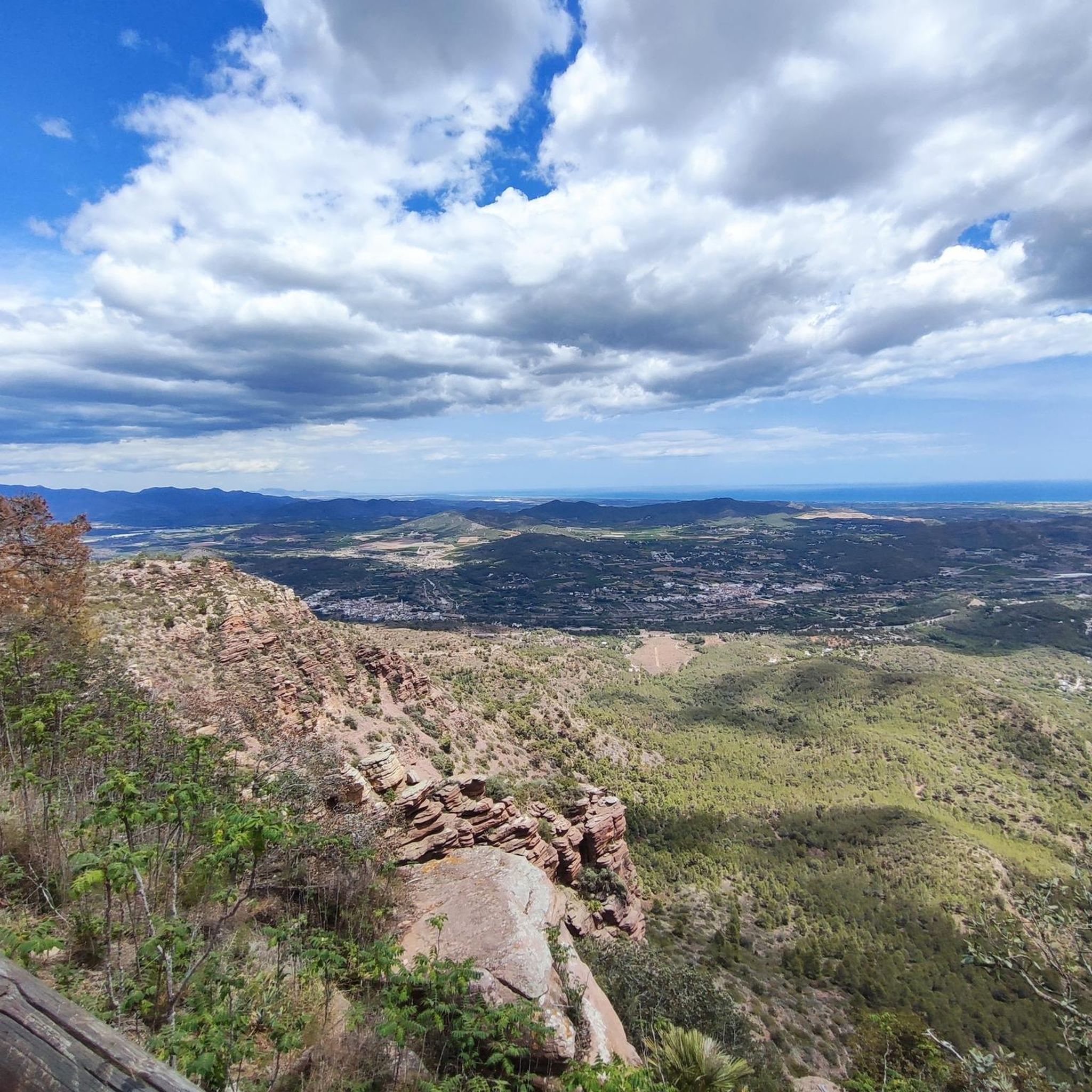
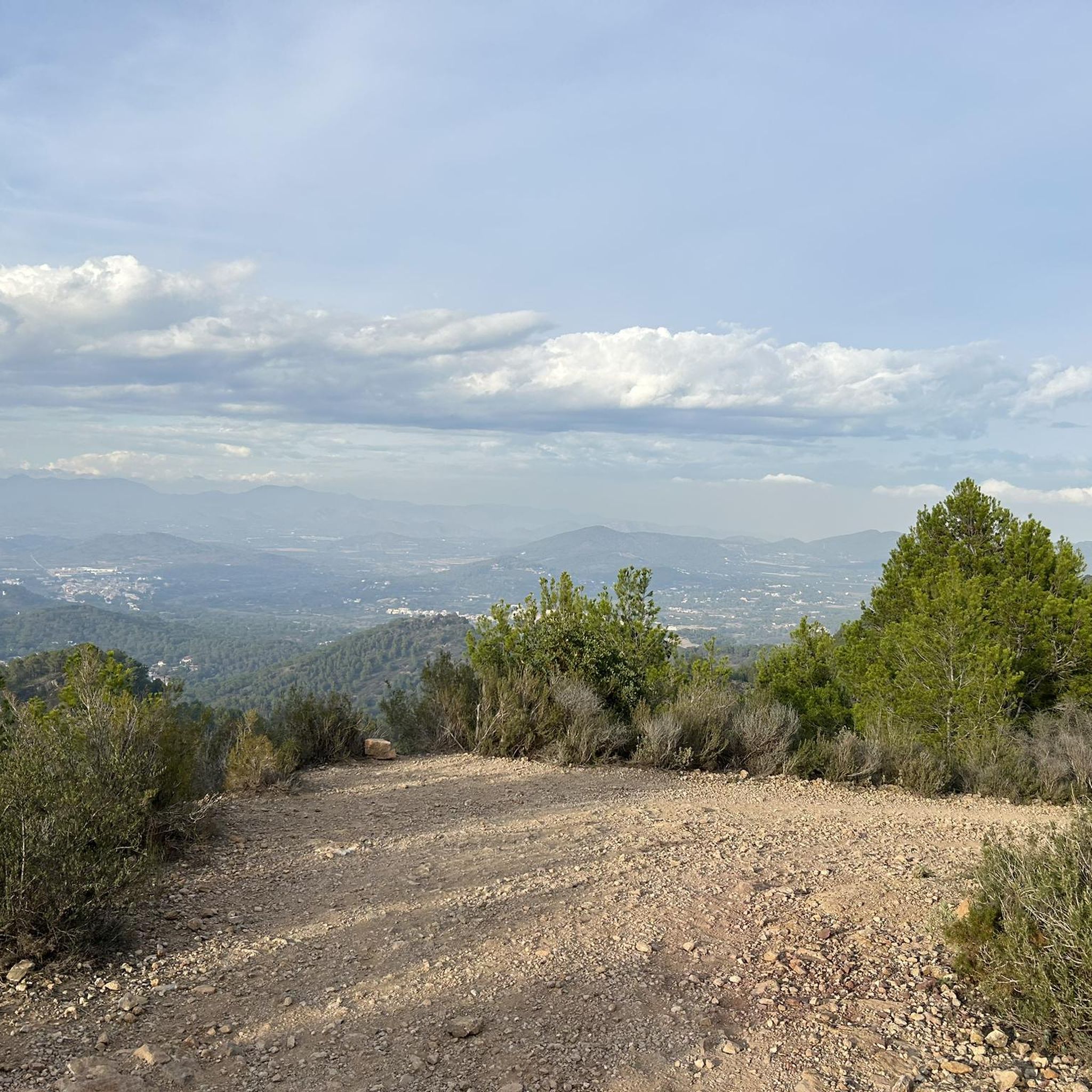
Garbí Viewpoint: Spectacular views of the Gulf of Valencia and, on clear days, as far as the Columbretes Islands. Ideal for sunrises and sunsets.
1
0

Some steeper climbs but lovely scenery - mountain vistas and dappled pine forest paths
0
0

El Garbí is a mountain of 593 meters located in the Serra Calderona, in its eastern part, a short distance from the Mediterranean Sea, between the municipalities of Estivella, Segart and Albalat dels Tarongers, in the region of Camp de Morvedre, if well it should be noted that the viewpoints and the llossar are in Estivella. It has beautiful views of the north coast of Valencia and south of Castelló, as well as the Serra Calderona, to which it belongs.
1
1
More information here: https://www.valenciabonita.es/2018/05/02/el-garbi/
1
1

More Palace than Castle, but well preserved/restored/maintained
1
0

A small, beautiful stone on the way to Canal Garbí. It serves as an inspiration for all who walk the path
0
0
The Canal Garbí is a very beautiful but also technically demanding place. It is definitely worth it, but it is not suitable for children or dogs.
3
1

At the Tender hill appears the Camí de la Mola dirt track that goes up to the left from Segart and continues to the right surrounding the mountain. The route continues straight along a path that begins on the slope of the forest track and ascends directly up the side of the mountain to the summit of Mola de Segart (565 m). The geodesic vertex is on the eastern summit, on the western summit there is a stone marker and both have extraordinary views. The descent continues along a fairly vertical channel between the two summits. The first ten meters are aerial and dangerous, you have to get the steps right, then continue down the side of the mountain without complications, the path is very clear and frequented. The trail ends at the Mola hill and the route continues along the forest track of the Camí de Segart a Sant Espirit.
2
0
Frequently Asked Questions
How many hiking trails are available around Albalat dels Tarongers?
There are over 15 hiking routes around Albalat dels Tarongers, offering a diverse range of experiences. You'll find options from easy strolls to more challenging ascents, with 9 moderate and 7 difficult trails to explore.
What kind of terrain can I expect on the hiking trails in Albalat dels Tarongers?
The terrain around Albalat dels Tarongers is quite varied. You can expect to hike through extensive pine and cork oak forests, agricultural areas with orange groves, and along the Palància River valley. Many routes also feature mountainous sections, including prominent peaks like Montalt and El Garbí, offering scenic viewpoints.
Are there any family-friendly hiking options in Albalat dels Tarongers?
Yes, while many routes are moderate to difficult, there is at least one easy trail suitable for families or those looking for a less strenuous walk. The region's diverse landscape, including the Vía Verde Ojos Negros, also offers gentler paths that can be enjoyed by all ages.
What are the best times of year to go hiking in Albalat dels Tarongers?
The best times to hike in Albalat dels Tarongers are typically spring and autumn when the temperatures are milder and the natural scenery is at its most vibrant. Summers can be hot, making early mornings or late afternoons preferable, while winters are generally mild and suitable for hiking.
Are there any circular hiking routes available?
Yes, Albalat dels Tarongers offers several circular routes. For example, the difficult route The route of the Garbí chains - Circular from Segart is a popular choice, and the El Pi del Salt – Mola de Segart loop from el Xocainet also provides a rewarding circular experience through mountain scenery.
What natural features or landmarks can I see along the trails?
Hikers can discover a wealth of natural features and landmarks. Highlights include the stunning Garbí Viewpoint, offering panoramic vistas, and the ancient Albalat dels Tarongers Castle. The area is also home to the Cova del Aigua Amarga (Cova de La Cabra), a cave with archaeological significance, and the picturesque Palància River valley.
What do other hikers say about the trails in Albalat dels Tarongers?
The hiking routes in Albalat dels Tarongers are highly regarded by the komoot community, with an average rating of 4.2 stars from over 140 reviews. Hikers often praise the diverse landscapes, the well-maintained paths within the Serra Calderona Natural Park, and the rewarding views from mountain peaks like El Garbí.
Are there any trails that offer significant elevation gain or challenging ascents?
Yes, for those seeking a challenge, there are 7 difficult trails with significant elevation gain. Routes like Canal de Garbí Scramble – Canal del Garbí Summit loop from Segart involve substantial ascents, leading to rewarding views from peaks such as El Garbí.
Can I reach the hiking trails using public transport?
While specific public transport options directly to trailheads may vary, Albalat dels Tarongers is a municipality within the Camp de Morvedre region. It's advisable to check local bus schedules or regional train connections to nearby towns, and then plan for a short taxi ride or walk to the starting points of the trails.
Are there any historical sites to explore while hiking?
Absolutely. The region is rich in history. You can explore the ruins of the Albalat dels Tarongers Castle, which offers impressive panoramic views. Additionally, the Cova del Aigua Amarga (Cova de La Cabra) is a natural feature with archaeological significance, featuring cave art dating back to 2000 BC.
What is the longest hiking trail in the area?
One of the longer routes you can undertake is the El Pi del Salt – Mola de Segart loop from el Xocainet, which spans approximately 16.3 kilometers (10.1 miles) and typically takes around 5 hours to complete, leading through beautiful mountain scenery.
Are there any trails that pass through the Serra Calderona Natural Park?
Yes, a significant portion of Albalat dels Tarongers lies within the Serra Calderona Natural Park, meaning many trails traverse its beautiful pine and cork oak forests. This park is known for its emblematic scenery and extensive network of paths.
Most popular routes around Albalat Dels Tarongers
Most popular attractions around Albalat Dels Tarongers

Get inspired with the komoot mobile app


Explore more
Browse the best Hikes in other regions.
