The best walks and hikes around Kaltes Feld mit Hornberg, Galgenberg und Eierberg
4.6
(13817)
56,923
hikers
58
hikes
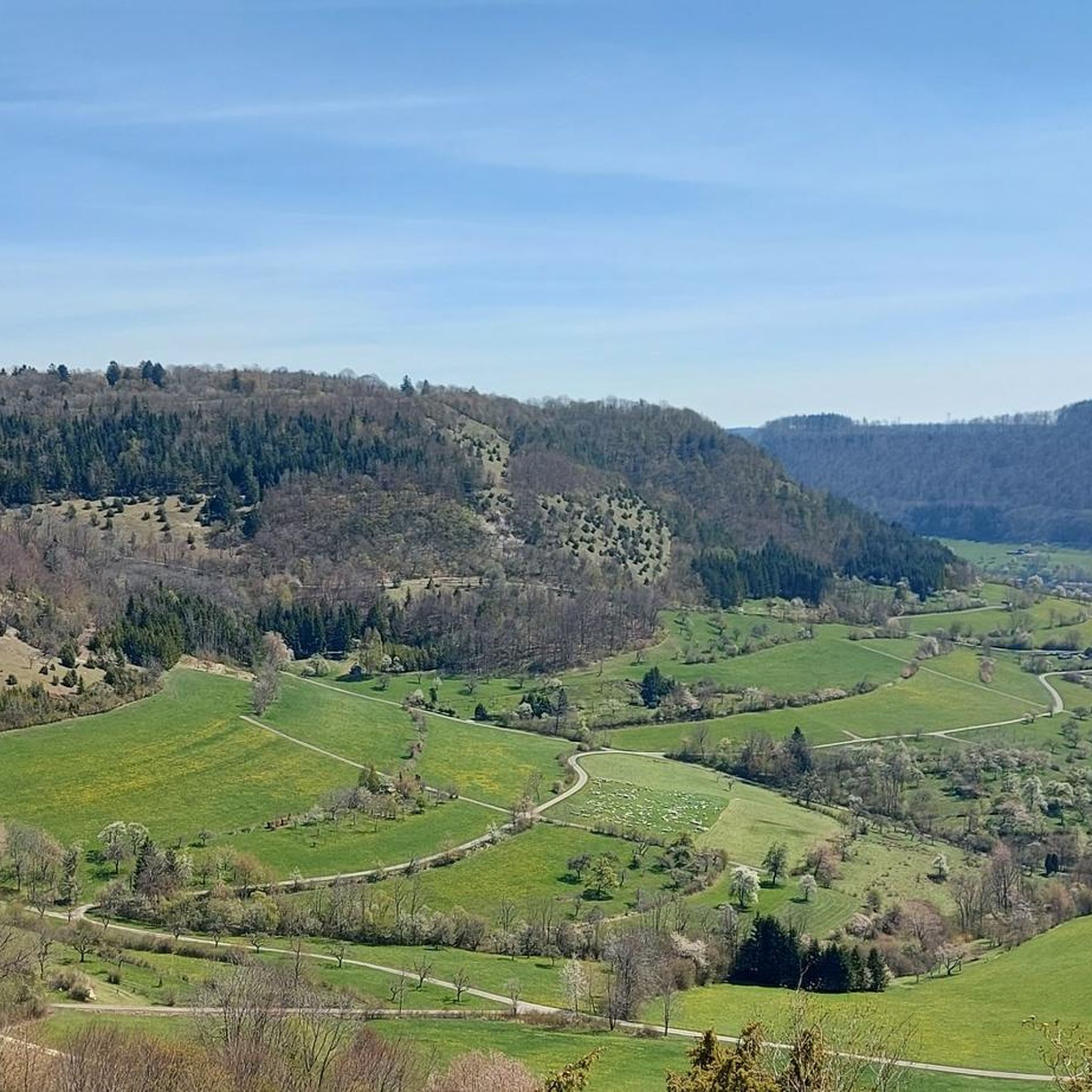
Hiking trails around Kaltes Feld mit Hornberg, Galgenberg und Eierberg traverse a diverse landscape within the Swabian Alb in Baden-Württemberg, Germany. This nature reserve, the largest in Ostalbkreis, features natural deciduous forests, extensive juniper heaths, and calcareous grasslands. The Kaltes Feld itself is the highest elevation in Ostwürttemberg at 781 meters, offering panoramic views across the region. The terrain includes varied elevations and open plateaus, characteristic of the Middle Kuppenalb.
Best hiking trails around Kaltes Feld mit Hornberg, Galgenberg und…
Last updated: July 7, 2026
4.8
(187)
691
hikers
15.2km
04:35
470m
470m
Moderate hike. Good fitness required. Easily-accessible paths. Suitable for all skill levels.
4.7
(64)
305
hikers
Moderate hike. Good fitness required. Easily-accessible paths. Suitable for all skill levels.

Sign up for free
4.8
(53)
203
hikers
Easy hike. Great for any fitness level. Easily-accessible paths. Suitable for all skill levels.
4.6
(11)
49
hikers
Moderate hike. Good fitness required. Easily-accessible paths. Suitable for all skill levels.
4.8
(37)
105
hikers
Moderate hike. Good fitness required. Easily-accessible paths. Suitable for all skill levels.
Get access to more routes and recommendations from other explorers.
Sign up for free
Already have an account?
Our route recommendations are based on thousands of hikes, rides, and runs completed by other people on komoot.
Start today with a free account
Your next adventure awaits.
Login or Signup
Popular around Kaltes Feld mit Hornberg, Galgenberg und Eierberg

Hiking in the Remstal – digital hiking badges for real adventures
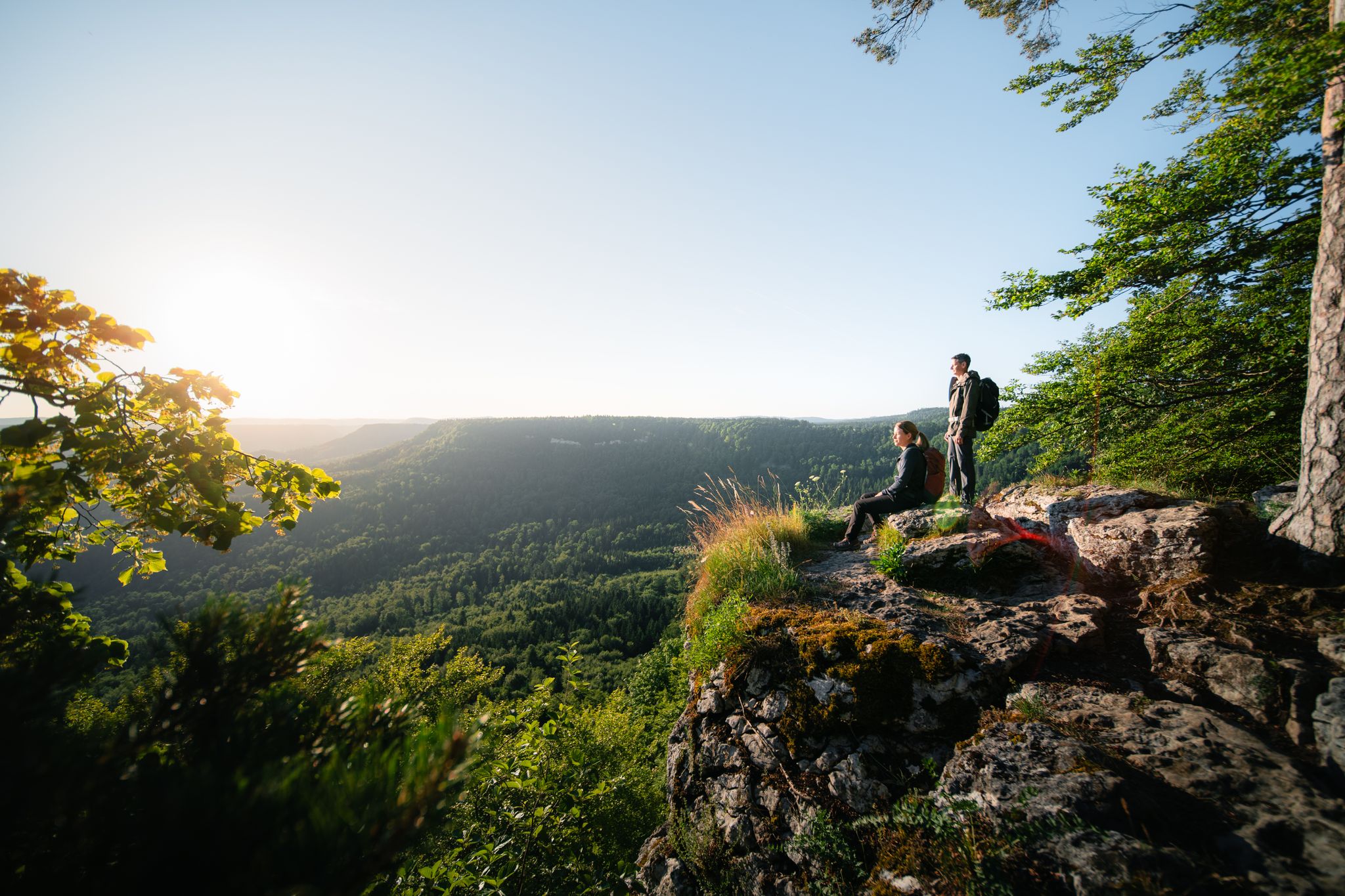
Wie fürs Trailrunning gemacht: Wanderwege der Schwäbischen Alb
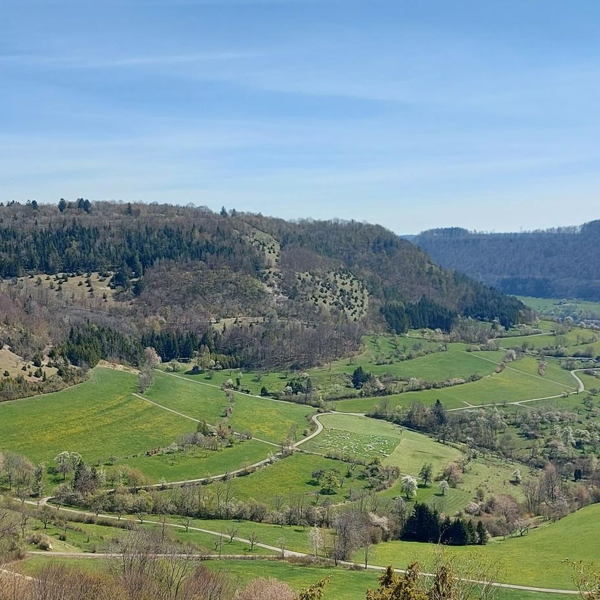
Road Cycling Routes around Kaltes Feld mit Hornberg, Galgenberg und Eierberg
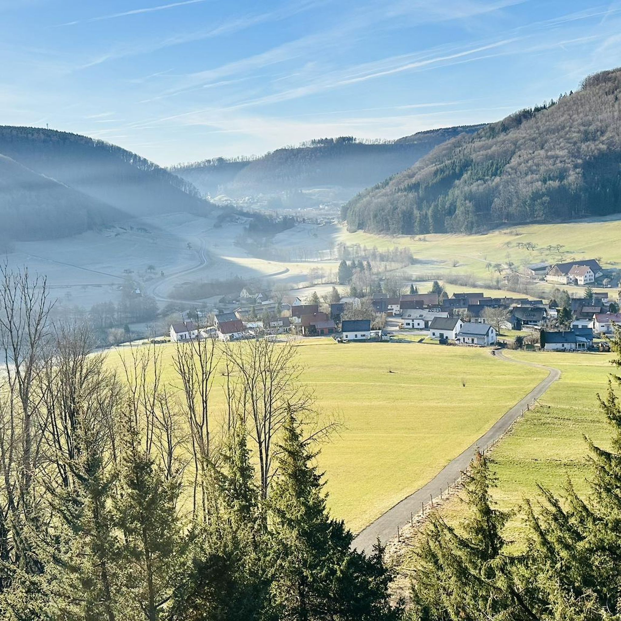
Cycling around Kaltes Feld mit Hornberg, Galgenberg und Eierberg
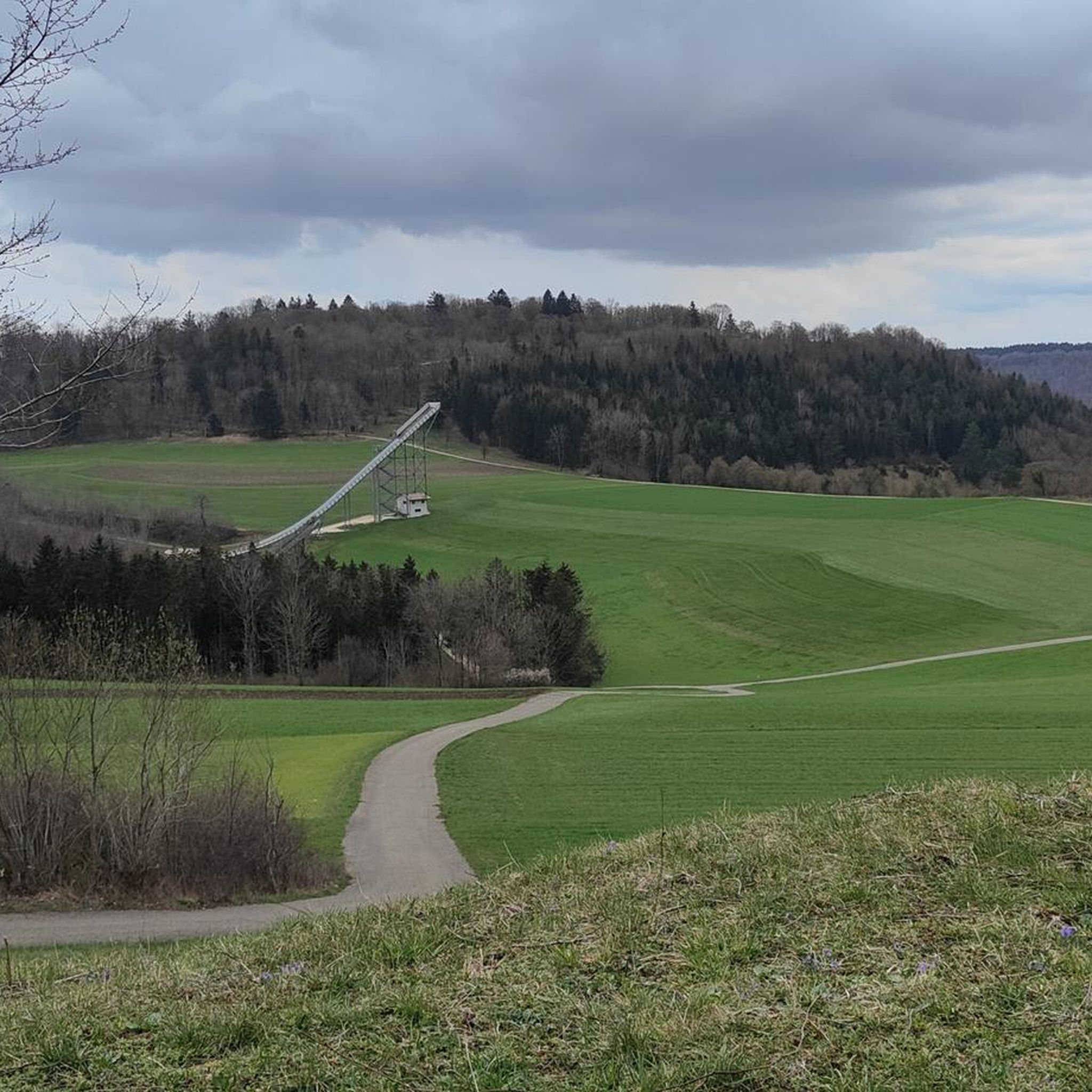
Running Trails around Kaltes Feld mit Hornberg, Galgenberg und Eierberg
MTB Trails around Kaltes Feld mit Hornberg, Galgenberg und Eierberg

Gravel biking around Kaltes Feld mit Hornberg, Galgenberg und Eierberg

Mountain Hikes around Kaltes Feld mit Hornberg, Galgenberg und Eierberg
Other adventures around Kaltes Feld mit Hornberg, Galgenberg und Eierberg


Tips from the Community

After the climb, turn left towards the Franz-Keller-Haus. A great resting place, partially staffed (check opening times). From there you can hike down to the Reiterleskapelle chapel and on to the Stuifen.
0
0
Wonderful view. Besides an information board, there's a table and two wooden benches here 🥪🥛
0
0
One more short climb, then comes the reward: the Franz Keller House. Almost in sight...
0
0

Great view in a beautiful landscape
0
0

Relaxing lounger with a view, a great place
3
0
Today we were able to follow the Swabian Summer Jumping Championships from afar.
3
0


Beautiful place whether on foot or by bike, great highlights such as the Dreikaiser Bergblick, the Knörzerhaus or the Franz-Keller-Haus
1
0
Frequently Asked Questions
How many hiking trails are available in Kaltes Feld mit Hornberg, Galgenberg und Eierberg?
There are over 60 hiking trails in the Kaltes Feld mit Hornberg, Galgenberg und Eierberg region. These range from easy paths suitable for families to more challenging routes, offering diverse experiences across the nature reserve's varied landscapes.
Are there easy hiking trails suitable for families or beginners?
Yes, the region offers many easy trails perfect for families and beginners. For example, the Knörzerhaus – Cold Field loop is an easy 4.2 km path that takes just over an hour to complete, leading through varied landscapes. Overall, 36 of the routes are classified as easy.
What kind of natural features and landscapes can I expect to see while hiking?
Hikers can expect a diverse landscape characteristic of the Swabian Alb. This includes extensive juniper heaths, which give the slopes a Mediterranean feel, calcareous grasslands, and natural deciduous forests. The area is also known for its rich biodiversity, with orchid species in late spring and various butterflies in summer. You'll also find numerous panoramic views from elevated plateaus, especially from the Kaltes Feld itself, which is the highest elevation in Ostwürttemberg.
Are there any notable viewpoints or landmarks along the trails?
Absolutely. The region is rich in viewpoints and interesting landmarks. You can enjoy stunning vistas from the View from Hornberg or the View from Kreuzberg over Nenningen and Lautertal. The Franz-Keller Hut is a popular stop, and the Cold Field summit itself offers expansive views. The area also features unique natural monuments like the Reiterles Chapel and the View of the Three Emperor Mountains.
Are there any circular hiking routes in the area?
Yes, many trails in Kaltes Feld mit Hornberg, Galgenberg und Eierberg are circular, allowing you to start and end at the same point. A popular moderate option is the View of the Hornberg Airfield – Franz-Keller Hut loop, which is 9 km long. Another great circular route is the Villa Maus at Kaltes Feld – Hornberg Gliding Airfield loop.
What is the best time of year to go hiking in Kaltes Feld mit Hornberg, Galgenberg und Eierberg?
The region is beautiful year-round, but late spring and summer are particularly rewarding. In late spring, you can admire beautiful orchid species like the helmet orchid, while summer brings vibrant meadows filled with swallowtails and fritillaries. The wide plateaus offer picturesque vistas that are enjoyable in any season, but the warmer months highlight the area's rich flora and fauna.
Is the Kaltes Feld mit Hornberg, Galgenberg und Eierberg area dog-friendly?
Yes, the Kaltes Feld mit Hornberg, Galgenberg und Eierberg region is generally dog-friendly, with many trails suitable for hiking with your canine companion. As a nature reserve, it's important to keep dogs on a leash to protect the local wildlife and flora, especially in areas with ground-nesting birds or grazing sheep on the juniper heaths.
Are there places to eat or rest along the trails?
Yes, you'll find options for resting and refreshments. The Franz-Keller Hut is a well-known spot that features in several circular hikes. Additionally, the region has other huts and natural monuments that serve as popular attractions where you might find opportunities to take a break.
What do other hikers say about the trails in this region?
The trails in Kaltes Feld mit Hornberg, Galgenberg und Eierberg are highly rated by the komoot community, with an average score of 4.7 stars from over 850 reviews. Hikers often praise the diverse landscapes, the expansive panoramic views, and the well-maintained network of trails that cater to various fitness levels.
How can I get to the Kaltes Feld mit Hornberg, Galgenberg und Eierberg area, and is there parking available?
The region is accessible by car, and parking is generally available at various trailheads. For those seeking unique perspectives, the Segelflugparkplatz (gliding airfield parking) offers stunning views along the Albtrauf. While specific public transport details vary, the area is part of the Swabian Alb, which has regional connections. It's advisable to check local public transport schedules for the most current information.
What is the highest point in the Kaltes Feld mit Hornberg, Galgenberg und Eierberg region?
The highest point in the region is the Kaltes Feld itself, standing at 781 meters above sea level. This elevation makes it the highest point in Ostwürttemberg and provides hikers with expansive, breathtaking panoramic views across the surrounding landscape.
Most popular routes around Kaltes Feld mit Hornberg, Galgenberg und Eierberg
Most popular attractions around Kaltes Feld mit Hornberg, Galgenberg und Eierberg

Get inspired with the komoot mobile app


Explore more
Browse the best Hikes in other regions.
