The best running trails around Cantalojas
4.5
(4)
678
runners
53
runs
Jogging around Cantalojas offers diverse terrain within the Sierra de Ayllón, situated at an altitude of 1315 meters above sea level. The region is characterized by mountainous landscapes, carved by the Lillas and Zarzas rivers, which create picturesque valleys. Cantalojas is also known as the gateway to the Hayedo de Tejera Negra Natural Park, a significant natural park with ancient beech forests. These features provide varied running routes, from river paths to more challenging mountain trails.
Best jogging routes around…
Last updated: July 2, 2026
1
runners
Hard run. Good fitness required. Sure-footedness, sturdy shoes and alpine experience required.
19
runners
23.1km
04:06
1,140m
1,150m
Hard run. Very good fitness required. Sure-footedness, sturdy shoes and alpine experience required.

Sign up for free
17
runners
Hard run. Good fitness required. Sure-footedness, sturdy shoes and alpine experience required.
18
runners
Hard run. Very good fitness required. Sure-footedness, sturdy shoes and alpine experience required.
10
runners
17.5km
03:06
850m
860m
Hard run. Very good fitness required. Sure-footedness, sturdy shoes and alpine experience required.
Get access to more routes and recommendations from other explorers.
Sign up for free
Already have an account?
Our route recommendations are based on thousands of hikes, rides, and runs completed by other people on komoot.
Start today with a free account
Your next adventure awaits.
Login or Signup
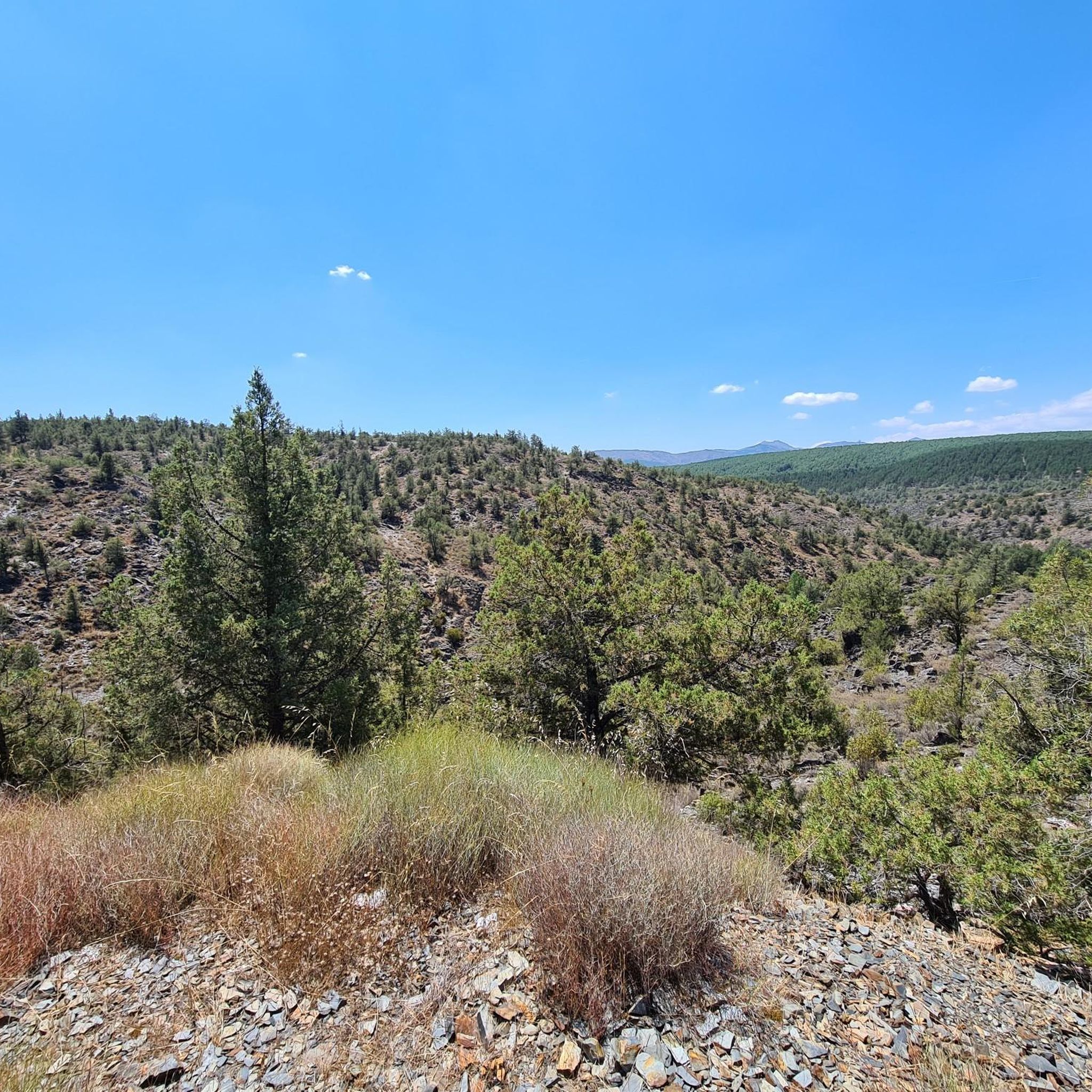
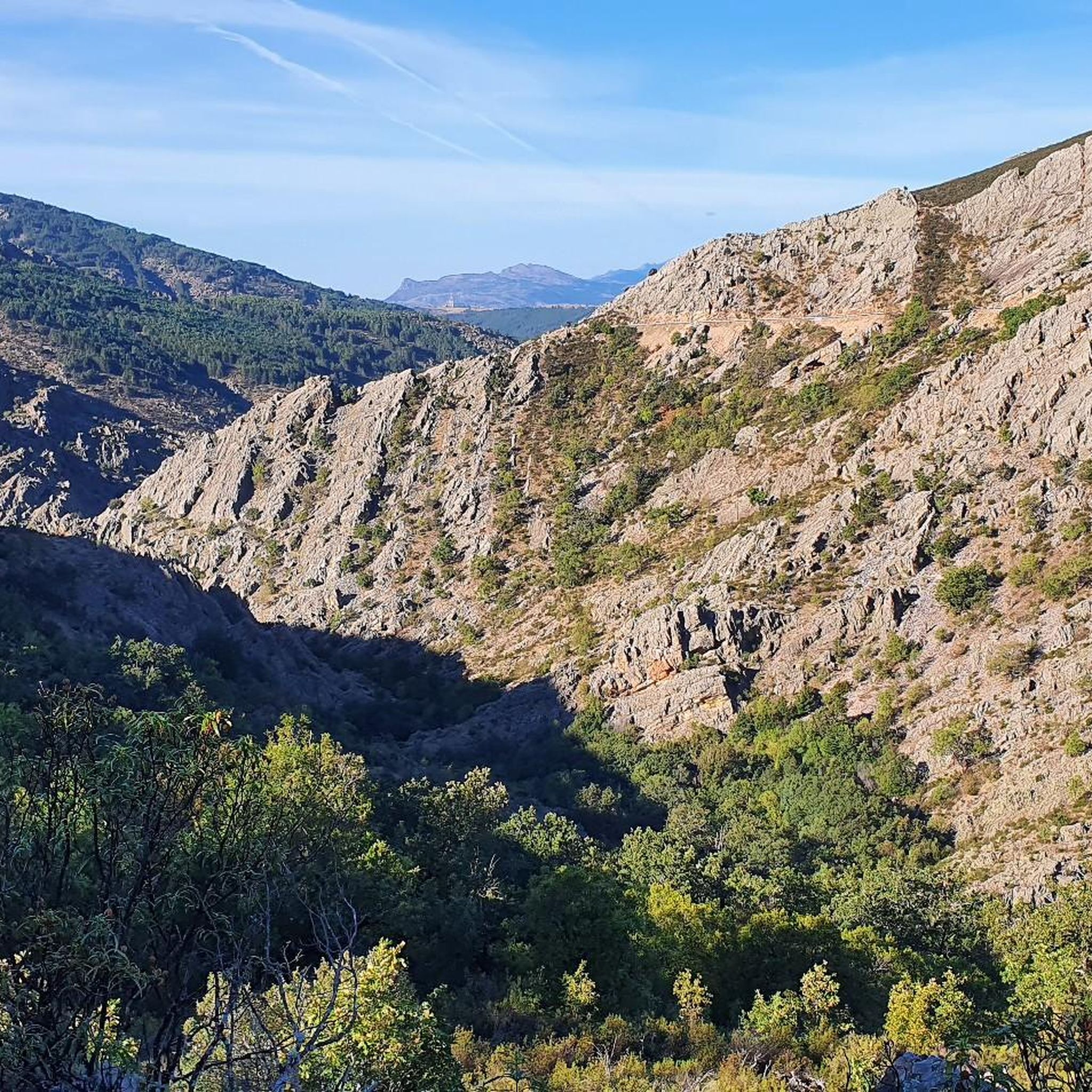
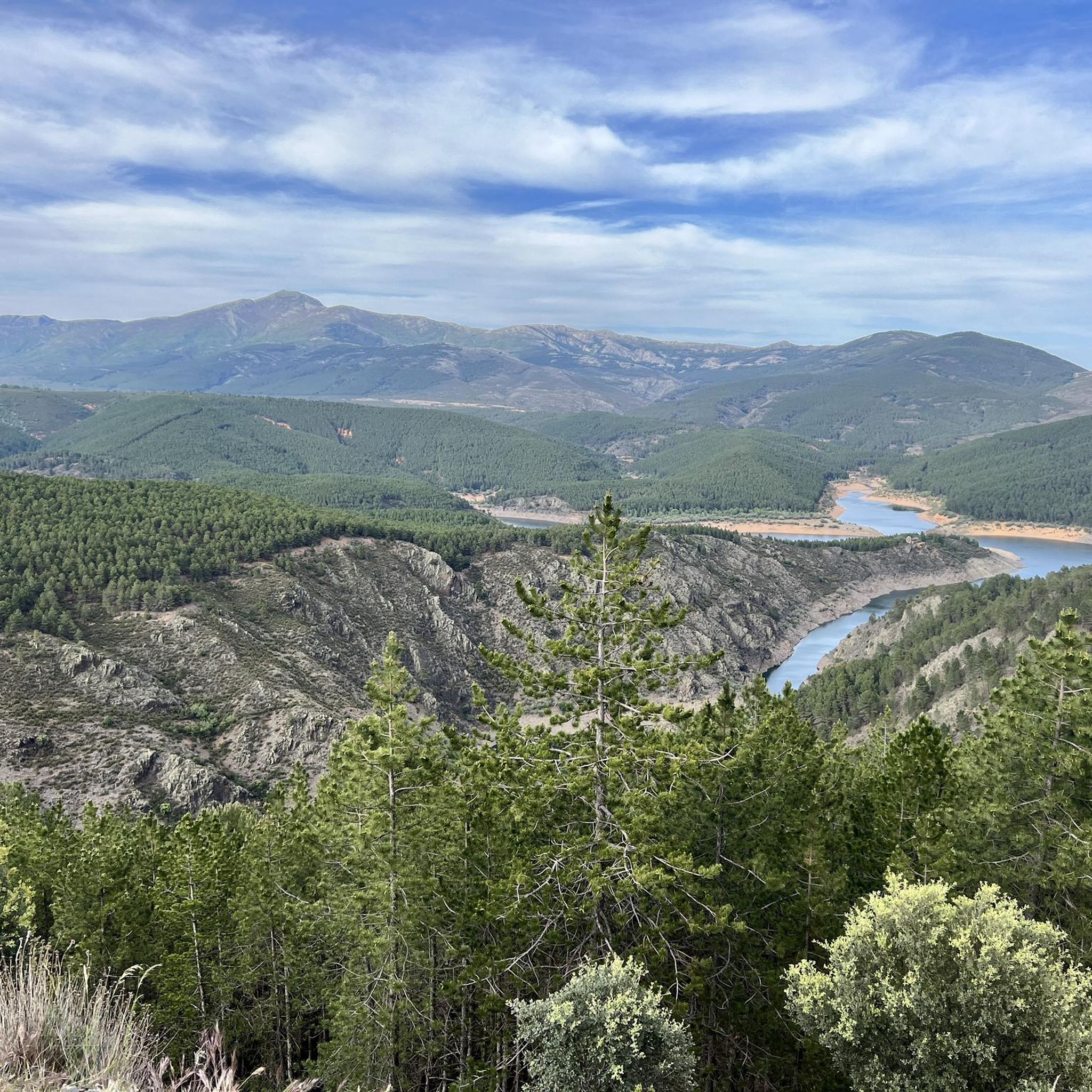
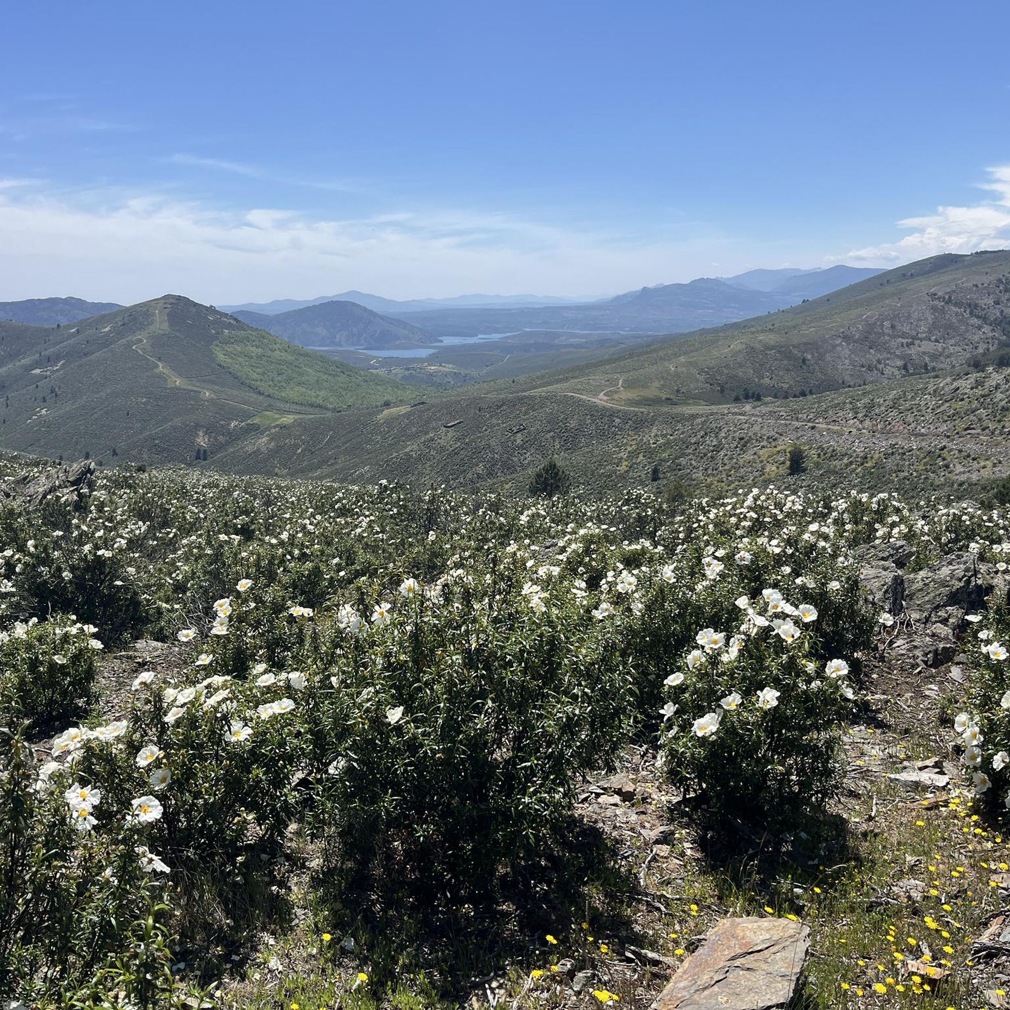
Tips from the Community

It is on the path leading up from Puerto de La Quesera to Pico del Lobo.
1
0
Place between Segovia and Guadalajara that is the starting point for many routes.
0
0
The dam's spillway has a system that allows trout to ascend through the water to the reservoir.
0
0

The parking lot in front of the Lillas River is an ideal starting point for exploring the Sierra Norte de Guadalajara Natural Park. Several signposted routes start from here, such as the Senda de Carretas and the Senda del Robledal.
5
0
The highest peak in the province of Guadalajara is a special place to admire the landscape in all directions. In winter, with the snow, it is even more beautiful, but at the same time more demanding due to the cold.
1
1
Pico del Lobo is the highest mountain in the Sierra de Ayllón and in the province of Guadalajara, with an altitude of 2,274 metres. It is a popular destination for hiking and offers spectacular views of both Segovia and Guadalajara.
7
0
A hill between mountains and at the same time a crossroads of various paths. Strategic point in El Hayedo de Tejera Negra.
0
0
Meadow in the middle of mountains, rest after admiring the colorful leaves of the beech trees in autumn.
0
0
Frequently Asked Questions
How many running routes are available around Cantalojas?
Cantalojas offers a wide variety of running routes, with over 45 trails documented on komoot. These routes cater to different fitness levels, ranging from easy paths to more challenging mountain trails.
What kind of terrain can I expect on jogging routes in Cantalojas?
Jogging routes in Cantalojas feature diverse terrain, from the ancient beech forests of the Hayedo de Tejera Negra Natural Park to mountainous landscapes carved by the Lillas and Zarzas rivers. You'll find a mix of river paths, forest trails, and more challenging mountain ascents, offering varied experiences for runners.
Are there any easy or beginner-friendly running paths in Cantalojas?
While many routes in Cantalojas are considered difficult due to the mountainous terrain, there are a few easier options available. For instance, some sections within the Hayedo de Tejera Negra Natural Park offer less strenuous paths suitable for beginners or those looking for a more relaxed run. Komoot lists 2 easy and 10 moderate routes in the area.
Can I find circular running routes in Cantalojas?
Yes, Cantalojas offers several excellent circular running routes. A notable option is the Circular trail running through the viewpoints of the Tejera Negra Black Beechwood Natural Park, which is 10.4 km long and provides panoramic views. Another popular choice is the Parking in front of the Lillas River – Tejera Negra Beech Forest loop from Aparcamiento Hayedo Tejera Negra, a 6.6 km trail through the ancient beech forest.
What natural features or landmarks can I see while running in Cantalojas?
Running in Cantalojas allows you to explore stunning natural features and landmarks. You can discover the ancient beech trees of the Hayedo de Tejera Negra Natural Park, picturesque river valleys formed by the Lillas and Zarzas rivers, and various viewpoints offering panoramic vistas. The area also features impressive mountain peaks like Pico Ocejón and Pico del Lobo, and mountain passes such as Ascent to Collado del Aventadero.
Is Cantalojas suitable for family-friendly jogging or running with children?
Cantalojas offers some options for family-friendly jogging, particularly on the less challenging paths within the Hayedo de Tejera Negra Natural Park or along the river valleys. While many routes are difficult, you can find shorter, flatter sections that are more suitable for families with children. Always check the route's difficulty and length before heading out.
Are there any dog-friendly running trails in Cantalojas?
Many of the natural trails in Cantalojas, especially those within the Hayedo de Tejera Negra Natural Park and along the river paths, are generally dog-friendly. However, it's always advisable to keep your dog on a leash, especially in protected areas or where wildlife is present, and to check local regulations for specific trails or natural parks.
What is the best time of year to go jogging in Cantalojas?
The best time of year for jogging in Cantalojas is often during spring and autumn. In autumn, the Hayedo de Tejera Negra Natural Park is particularly spectacular as the ancient beech trees display vibrant colors. Spring offers pleasant temperatures and lush greenery. Summer can be warm, especially at lower altitudes, while winter may bring snow to higher elevations, making some trails more challenging.
Are there running routes in Cantalojas with parking available?
Yes, many running routes in Cantalojas, particularly those accessing popular areas like the Hayedo de Tejera Negra Natural Park, have designated parking areas. For example, the Parking in front of the Lillas River – Tejera Negra Beech Forest loop from Aparcamiento Hayedo Tejera Negra starts directly from a parking spot, making access convenient for runners.
What do other runners say about jogging in Cantalojas?
The running routes around Cantalojas are highly rated by the komoot community, with an average score of 4.5 stars from 4 reviews. Runners often praise the stunning natural beauty, especially the ancient beech forests and river valleys, and the variety of terrain that offers both challenging mountain trails and more serene forest paths.
How long are the running trails near Cantalojas?
The running trails near Cantalojas vary significantly in length. You can find shorter loops, such as the 6.6 km Parking in front of the Lillas River – Tejera Negra Beech Forest loop from Aparcamiento Hayedo Tejera Negra, which takes about 1 hour to complete. Longer and more challenging routes, like the 23.1 km Riofrío Reservoir – Pico del Lobo loop from Riofrío de Riaza, can take several hours due to significant elevation changes.
Are there any specific permits required to run in the Hayedo de Tejera Negra Natural Park?
The Hayedo de Tejera Negra Natural Park is a protected area and a Biosphere Reserve. During peak seasons, especially autumn, access to certain areas or parking might require prior booking or a permit to manage visitor numbers and preserve the natural environment. It's always recommended to check the official park website for the latest regulations before your visit.
Most popular routes around Cantalojas
Most popular attractions around Cantalojas

Get inspired with the komoot mobile app


Explore more
Browse the best Running Trails & Routes in other regions.
