The best road cycling routes around Ajamil
4.9
(8)
202
riders
10
rides
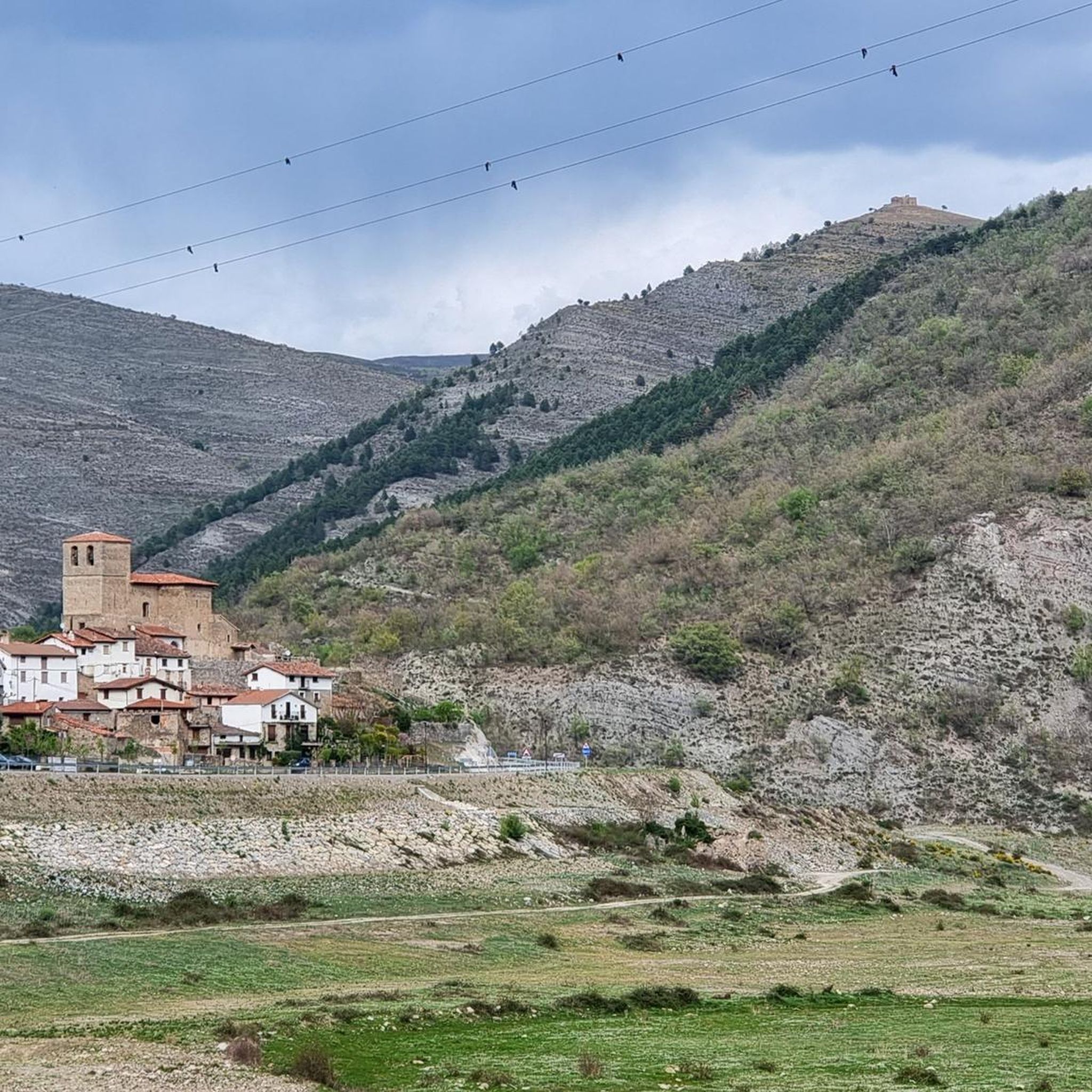
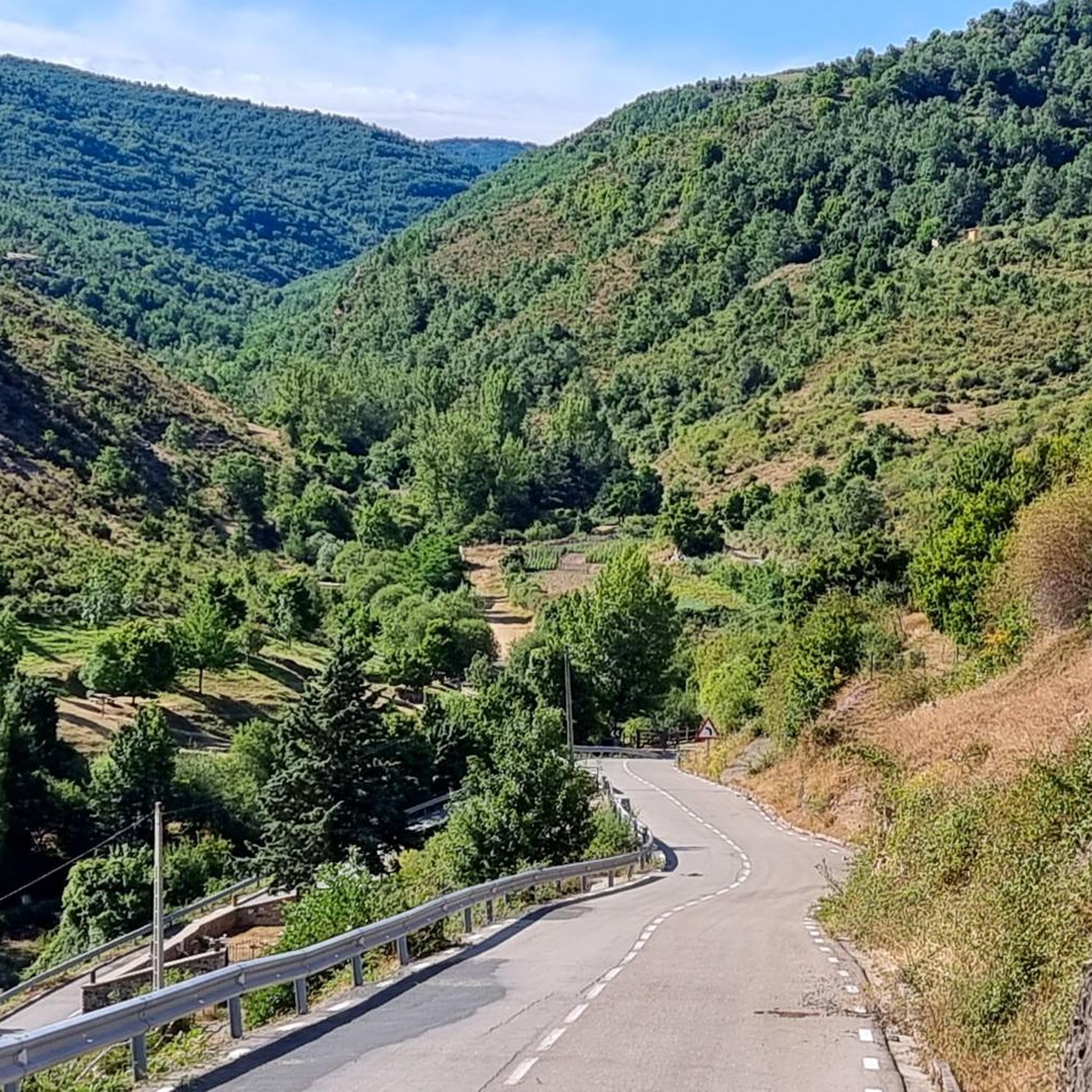
Road cycling routes around Ajamil de Cameros, located in La Rioja, Spain, traverse a diverse and rugged natural landscape. The region is characterized by mountainous terrain, dense forests of Scots pine, beech, and oak, and river valleys. Cyclists encounter significant elevation changes and panoramic views across smooth, rounded mountains and the dramatic Leza River Canyon. This area provides varied scenery and challenging terrain for road cyclists.
Best road cycling routes around Ajamil
- The most popular road cycling route is Soria…
Last updated: June 28, 2026
9
riders
85.5km
04:14
1,340m
1,340m
This difficult 53.1-mile road cycling route through the Soria Highlands offers historic villages and sweeping views.
7
riders
61.8km
03:08
1,040m
1,040m
Hard road ride. Very good fitness required. Mostly well-paved surfaces and easy to ride.

Sign up for free
4.8
(6)
163
riders
94.9km
04:32
1,240m
1,240m
Hard road ride. Very good fitness required. Mostly well-paved surfaces and easy to ride.
7
riders
52.3km
02:39
880m
880m
Moderate road ride. Good fitness required. Mostly well-paved surfaces and easy to ride.
5.0
(1)
4
riders
50.4km
02:33
850m
850m
Moderate road ride. Good fitness required. Mostly well-paved surfaces and easy to ride.
Get access to more routes and recommendations from other explorers.
Sign up for free
Already have an account?
Our route recommendations are based on thousands of hikes, rides, and runs completed by other people on komoot.
Start today with a free account
Your next adventure awaits.
Login or Signup

Tips from the Community

there is a fountain and bar in the square
1
0
Accommodation, shops and bar in this beautiful medieval town. They have just restored the castle
0
0

The stone bridge is one of the four bridges that cross the Ebro in Logroño. It is also called the bridge of San Juan de Ortega. The current structure was built in 1884 after the previous bridge collapsed in 1871. As one of the city's symbols, the bridge, which is used to enter the town on the Way of St. James, can also be seen on its coat of arms. https://www.spain.info/de/highlights/steinbruecke/
2
0

Rivers like the Ebro were a big challenge for pilgrims in the centuries before. That's why the Way of St. James always runs along traffic routes with bridges. The larger cities are always found where there are large bridges. The motorways and national roads now have their own paths. And that's a good thing.
2
0

Santa Cruz de Yanguas is a municipality in Soria in the Tierras Altas region, community of Castilla y León. During the Middle Ages it was part of the Community of Villa y Tierra de Yanguas. It is located in the Baos River basin, and has important forest and mycological resources. The municipal area is part of the Urbión Regional Reserve, with a large presence of deer, roe deer, wild boar and woodcock. Of its heritage, the Roman bridge that spans the bed of the Baos River, the church of the Santísima Trinidad (16th century) in Gothic style and the hermitage of the Virgen del Pilar stand out. As in the rest of the region, you can find dinosaur footprints (ichnites).
2
0
San Pedro Manrique is a municipality in Soria in the Tierras Altas region, in the community of Castilla y León. Its origin dates back to the Celts, Vascones, Iberians and Romans. With the passage of time, other neighboring towns such as Sarnago, Las Fuentes de San Pedro, Matasejún, Palacio de San Pedro, Taniñe, Valdenegrillos and Ventosa de San Pedro have been incorporated into the municipal area. San Pedro Manrique is well known for his particular way of celebrating San Juan Day. On the night of San Juan the well-known "paso del fuego" is carried out, in which the embers of a bonfire are stepped on by the town's natives, barefoot and carrying someone on their backs. Among its heritage, the hermitage of the Virgen de la Peña, the church of San Miguel, the remains of a castle on the outskirts and the ruins of the convent of San Pedro el Viejo stand out.
0
0
Yanguas is a town in Soria in the Tierras Altas region, in the community of Castilla y León. Of pre-Roman origin, it is located at the beginning of the Cidacos river gorge, on the road that linked Numancia and Calahorra. It was declared a Historical-Artistic Site in 1993 and belongs to the Most Beautiful Towns in Spain association. Of its heritage, the Romanesque tower of San Miguel stands out, in Catalan Romanesque style (unique in the province), the Yanguas castle (14th century) and the church of San Lorenzo.
2
0

Yanguas is located at the gates of a canyon on the Cidacos River that leads to La Rioja. The beauty of the town has made it enter by its own right into the association of The Most Beautiful Towns in Spain. Its historic group of stone houses, especially slate, preserves the appearance of traditional architecture. In addition, it houses centuries-old monuments such as the Romanesque churches of San Lorenzo and Santa María, among other buildings of heritage relevance.
1
0
Frequently Asked Questions
How many road cycling routes are available around Ajamil?
There are 8 road cycling routes around Ajamil de Cameros listed on komoot. These routes offer a diverse range of experiences, primarily categorized as moderate to difficult, traversing the rugged natural landscape of La Rioja.
What are the typical difficulty levels of road cycling routes in Ajamil?
The road cycling routes around Ajamil de Cameros are generally considered moderate to difficult. Out of the 8 routes, 5 are rated as moderate and 3 as difficult. These routes often feature significant elevation changes and challenging climbs through mountainous terrain, making them suitable for cyclists seeking a physical challenge.
Are there any circular road cycling routes in the Ajamil area?
Yes, several routes around Ajamil de Cameros are circular. For example, the Soria Highlands Loop is a difficult 85.5 km route, and the Tierra Altas alta de Sória y San Pedro Manrique — circular desde Yaguas offers another challenging circular ride. The Yanguas Historic Village – Yanguas loop from Yanguas is a moderate 52.3 km option.
What natural features or landscapes can I expect to see while cycling around Ajamil?
Road cycling routes around Ajamil de Cameros traverse a diverse and rugged natural landscape. You can expect to see mountainous terrain, dense forests of Scots pine, beech, and oak, and river valleys. The region is known for its smooth, rounded mountains, some reaching over 2,000 meters, and the dramatic Leza River Canyon, which is a spectacular natural area and a Biosphere Reserve. The Monte Real Beech Forest is also a notable natural attraction.
Are there any notable landmarks or points of interest along the road cycling routes?
Yes, there are several interesting landmarks and viewpoints. You might pass through charming settlements like Soto en Cameros and San Román de Cameros, or the Yanguas Historic Village. Natural viewpoints such as the Leza Canyon Viewpoint and the Vulture Viewpoint of the Leza River Canyon offer stunning panoramic views. Mountain passes like Puerto de la Rasa (1,420 m) are also significant points of interest.
What is the best time of year for road cycling in Ajamil?
The region around Ajamil de Cameros is best for road cycling during spring and autumn when temperatures are milder and the natural scenery is vibrant. Summer can be warm, especially in the valleys, while winter may bring snow to higher mountain passes, making cycling more challenging or inaccessible. Always check local weather forecasts before planning your ride.
Are there options for less experienced or beginner road cyclists in Ajamil?
While many routes in Ajamil de Cameros are moderate to difficult due to the mountainous terrain and significant elevation gains, there are some moderate options available. For example, the Soto en Cameros – View of Trevijano loop from Laguna de Cameros is a moderate 49.5 km route. Beginners should be prepared for some climbs and descents, even on moderate trails, and consider their fitness level.
Where can cyclists find parking in Ajamil?
Parking for cyclists in Ajamil de Cameros is generally available within the village itself, often in designated public areas. Given its nature as a small mountain village, finding a suitable spot to park a vehicle, especially near the start of popular routes, is usually manageable. However, specific parking facilities for cyclists are not widely advertised, so it's advisable to look for general public parking.
Is public transport available to reach cycling routes in Ajamil, especially for those with bikes?
Public transport options directly to Ajamil de Cameros, especially those accommodating bicycles, are limited. The region is less populated, and while there might be local bus services connecting to larger towns in La Rioja, their frequency and bike-carrying capacity are not guaranteed. Most cyclists typically arrive by car, allowing for greater flexibility in accessing the various routes.
What do other cyclists say about road cycling in Ajamil?
The road cycling routes around Ajamil de Cameros are highly rated by the komoot community, with an average score of 4.8 stars from more than 3 reviews. Cyclists often praise the challenging terrain, the stunning panoramic views, and the serene environment of the Camero Viejo region. The diverse landscapes, from dense forests to dramatic river canyons, are frequently highlighted as major attractions.
Are there any particularly challenging climbs for experienced road cyclists?
Yes, the mountainous terrain around Ajamil de Cameros offers several challenging climbs. The region borders the Sierra de Cebollera Natural Park, which features demanding mountain passes such as Puerto de Santa Inés (1,753 m) and Puerto de Piqueras (1,710 m). Routes like the Logroño Stone Bridge – Logroño loop from Laguna de Cameros, with over 1200m of elevation gain, provide significant ascents for experienced riders.
Can I find places to eat or stay overnight near the cycling routes in Ajamil?
Ajamil de Cameros and the surrounding small villages in the Camero Viejo region offer limited but charming options for accommodation and dining. You can find rural guesthouses or small hotels, and local restaurants or cafes serving traditional Riojan cuisine. It's advisable to book accommodation in advance, especially during peak seasons, as options are not extensive.
Are there any long-distance road cycling routes starting from or passing through Ajamil?
While Ajamil de Cameros itself is a segment within longer tours, routes like the Logroño Stone Bridge – Logroño loop from Laguna de Cameros, at 95 km, offer a substantial distance. The region's network of roads allows for combining routes to create longer journeys through the Sierra de Cameros and into the wider La Rioja area, appealing to those looking for extended rides.
Most popular routes around Ajamil
Most popular attractions around Ajamil

Get inspired with the komoot mobile app


Explore more
Browse the best Road cycling routes in other regions.
