The best running trails around San Esteban De La Sierra
117
runners
12
runs
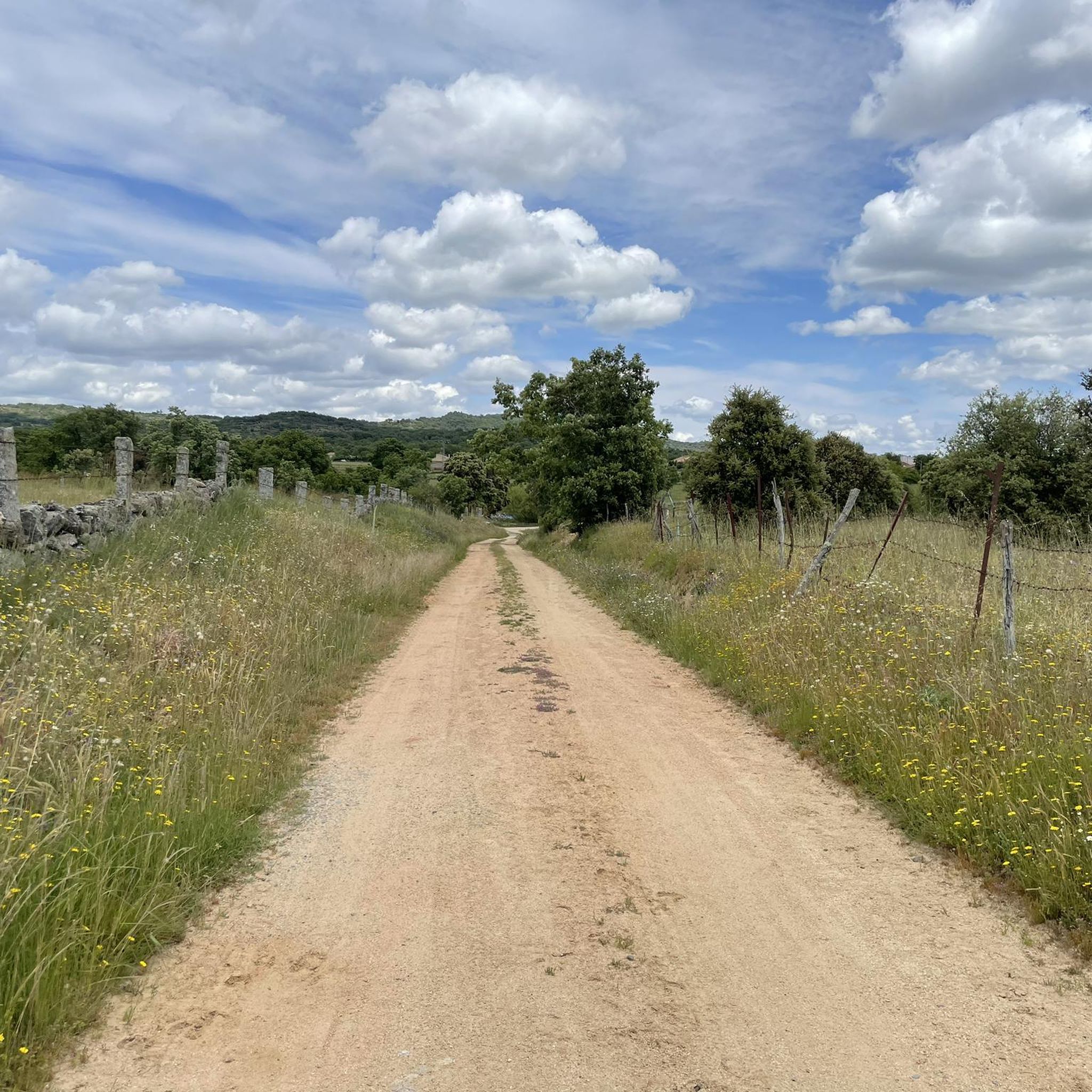
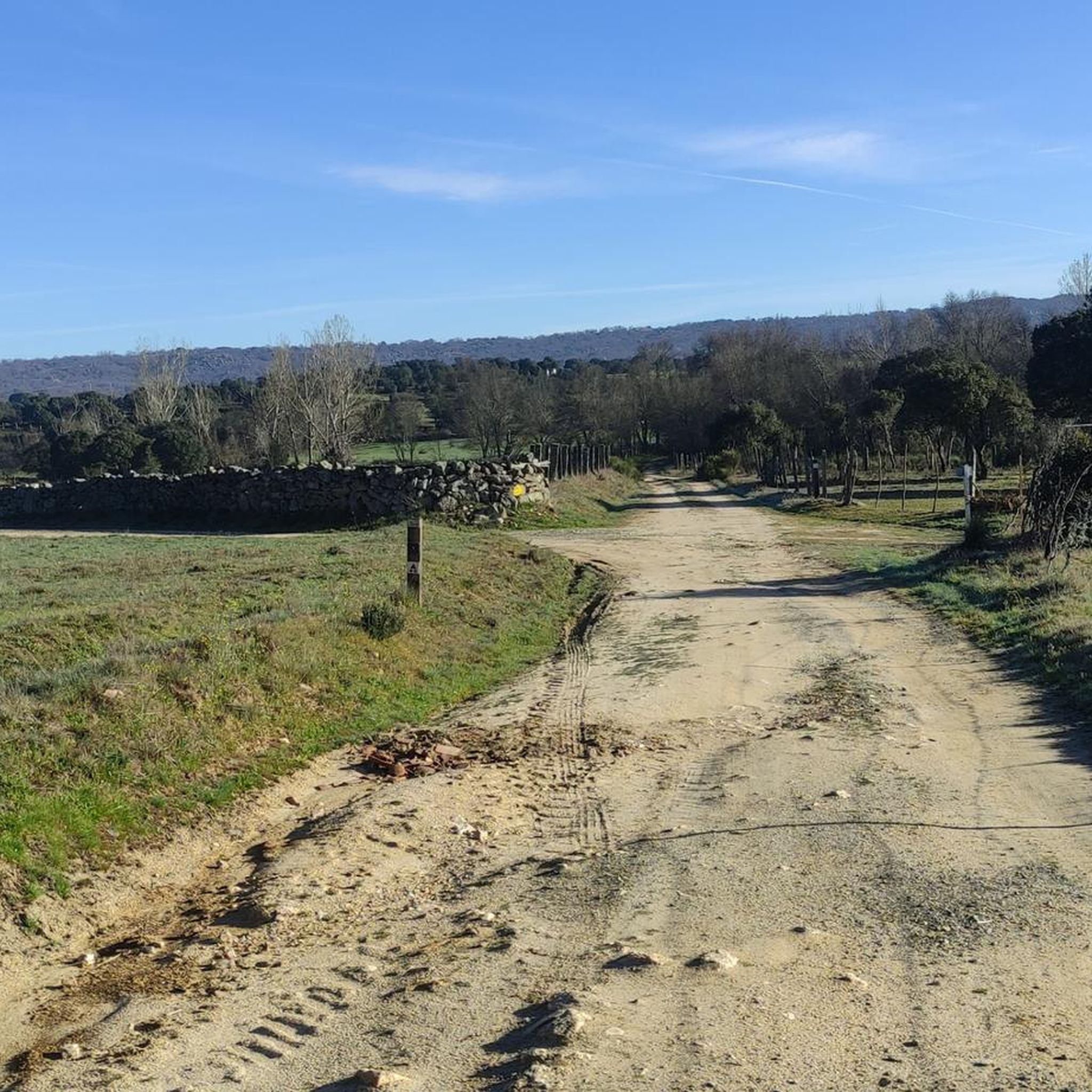
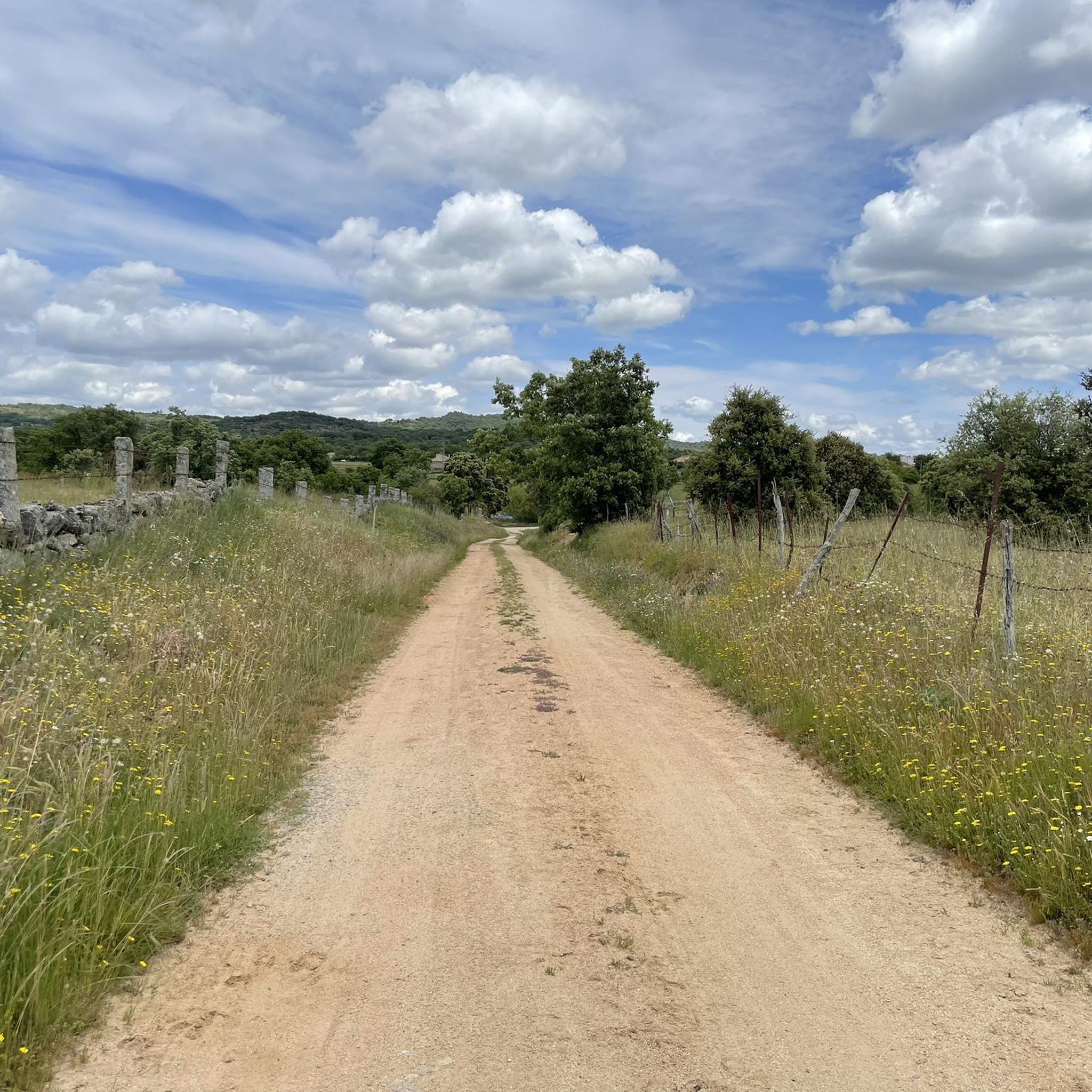
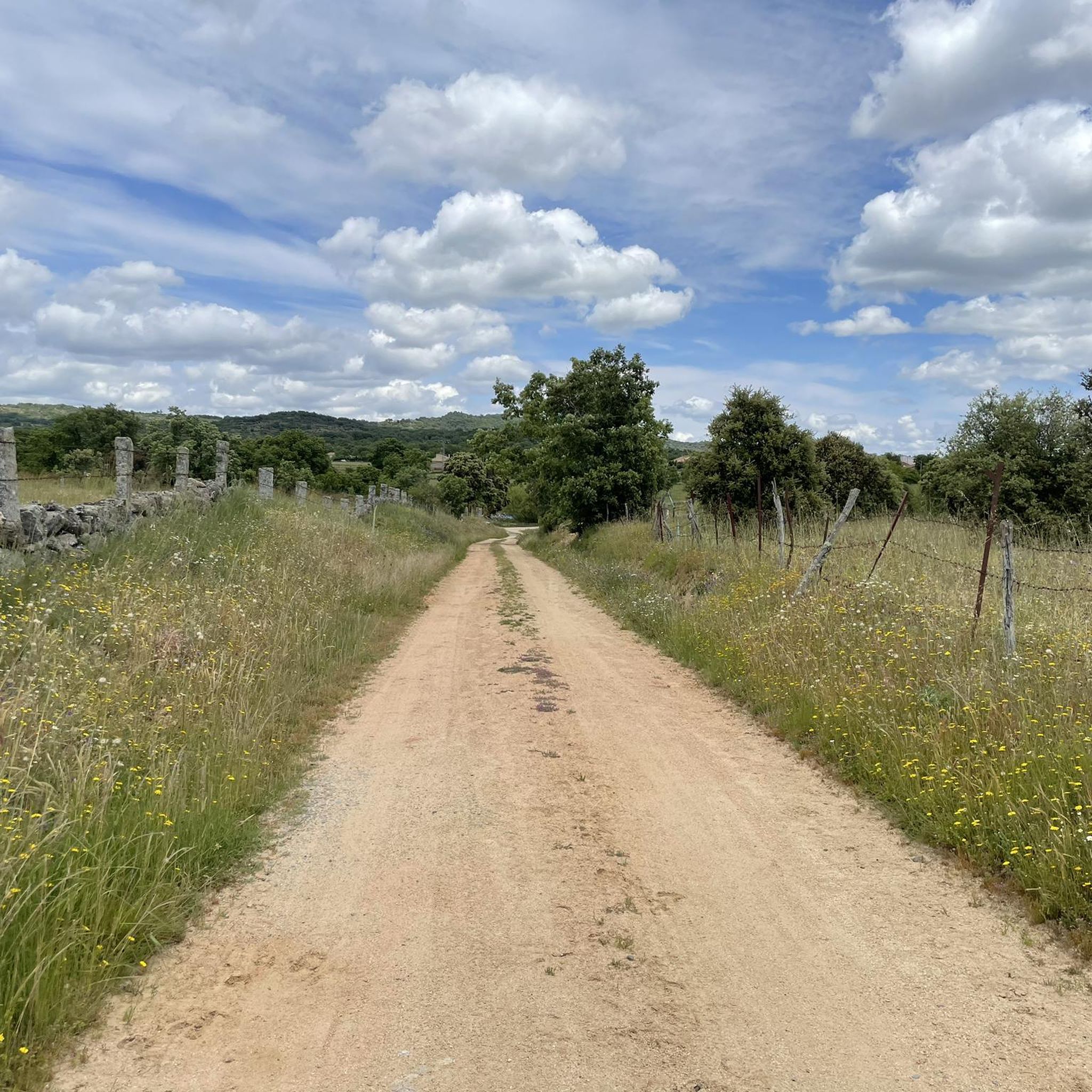
Jogging around San Esteban De La Sierra offers diverse landscapes within a UNESCO Biosphere Reserve, characterized by significant altitudinal and geological contrasts. The region features a mix of environments, from thick chestnut and eucalyptus forests to olive groves and vineyards on terraced hillsides. The Alagón River meanders through the mountains, creating a picturesque valley, while prominent mountains like Monte Tiriñuelo provide a dramatic backdrop.
Best jogging routes around San Esteban De La Sierra
- The most popular jogging route is Pico…
Last updated: July 1, 2026
23
runners
18.8km
02:20
480m
480m
Hard run. Very good fitness required. Mostly accessible paths. Some sure footedness required.
23
runners
19.4km
02:19
500m
500m
Hard run. Very good fitness required. Mostly paved surfaces. Suitable for all skill levels.

Sign up for free
16
runners
7.94km
00:50
110m
110m
Moderate run. Good fitness required. Mostly paved surfaces. Suitable for all skill levels.
15
runners
11.7km
01:22
310m
310m
Hard run. Very good fitness required. Mostly paved surfaces. Suitable for all skill levels.
12
runners
22.3km
02:48
790m
780m
Hard run. Very good fitness required. Mostly accessible paths. Some sure footedness required.
Get access to more routes and recommendations from other explorers.
Sign up for free
Already have an account?
Our route recommendations are based on thousands of hikes, rides, and runs completed by other people on komoot.
Start today with a free account
Your next adventure awaits.
Login or Signup
Tips from the Community

What to see in Garcibuey Mural Route – Graffitibuey Since 2019, Garcibuey has become the “graffiti village,” with more than 18 murals by national and international artists integrated into its traditional architecture. The highlight is the mural “El Tritón de Miguelón,” covering 1,600 m², considered the largest in Europe and awarded best mural in the world in 2023. Old Town Cobblestone streets, traditional stone and wood houses, and the Church of San Pedro Apóstol (16th century) with a Baroque altarpiece. La Palla Pond An old irrigation system (1940), now a recreational area with a natural pool and a beach bar offering spectacular views. La Peña Viewpoint Panoramic views over the Alagón Valley and the Sierra de Francia mountain range.
8
0
Founded during the 13th-century repopulation of León by Alfonso IX, it was part of the district of Miranda del Castañar. Prehistoric remains can be found in the La Palla Valley, and legends abound about hidden treasures in the Cueva de la Mora (Cave of the Moorish Woman). The traditional economy is based on orchards, vineyards (Sierra de Salamanca Designation of Origin), and olive oil.
9
0
What to see in Miranda del Castañar Medieval Walls: Over 600 meters remain intact, with four gates facing the cardinal directions: San Ginés, Nuestra Señora, La Villa, and El Postigo. Zúñiga Castle: A 15th-century fortress, symbol of the former County of Miranda. Although the interior is not open to the public, its exterior and keep are impressive. Square Bullring: Considered one of the oldest in Spain, built in the 16th century on the site of the former parade ground. Church of Santiago and San Ginés: Gothic in style (13th-16th centuries), with a detached 17th-century bell tower. Houses with Coats of Arms: More than 80 noble coats of arms adorn the facades, reflecting the town's aristocratic past.
1
0
Miranda del Castañar, one of the most beautiful villages in Spain, is located in the Sierra de Francia (Salamanca): Founded in 1213 by Alfonso IX of León as a town and council, it was the administrative capital of the Sierra de Francia. In the 15th century, the County of Miranda was created under the control of the Zúñiga family, consolidating its strategic importance.
1
0
Zúñiga Castle: A 15th-century fortress, symbol of the former County of Miranda. Although it is not open to the public, its exterior and keep are impressive.
1
0
What to see in Miranda del Castañar Medieval Walls: Over 600 meters remain intact, with four gates facing the cardinal directions: San Ginés, Nuestra Señora, La Villa, and El Postigo. Zúñiga Castle: A 15th-century fortress, symbol of the former County of Miranda. Although the interior is not open to the public, its exterior and keep are impressive. Square Bullring: Considered one of the oldest in Spain, built in the 16th century on the site of the former parade ground. Church of Santiago and San Ginés: Gothic in style (13th-16th centuries), with a detached 17th-century bell tower. Houses with Coats of Arms: More than 80 noble coats of arms adorn the facades, reflecting the town's aristocratic past.
8
0
Miranda del Castañar, one of the most beautiful villages in Spain, is located in the Sierra de Francia (Salamanca): Founded in 1213 by Alfonso IX of León as a town and council, it was the administrative capital of the Sierra de Francia. In the 15th century, the County of Miranda was created under the control of the Zúñiga family, consolidating its strategic importance.
9
0
Located between the municipalities of Navarredonda de la Rinconada and Escurial de la Sierra, in the Sierra de Francia-Quilamas region. A protected natural area within the Natura 2000 network, with oak and chestnut forests and wildlife such as the golden eagle and griffon vulture.
5
0
Frequently Asked Questions
What kind of terrain can I expect on the running routes around San Esteban de la Sierra?
The region, a UNESCO Biosphere Reserve, offers a diverse range of terrain for runners. You'll find paths winding through thick chestnut and eucalyptus forests, olive groves, and vineyards on terraced hillsides. The Alagón River valley provides refreshing routes, while prominent mountains like Monte Tiriñuelo offer more challenging climbs. The geological contrasts mean you'll encounter granitic zones, quartzites, and slates, providing varied surfaces and inclines.
Are there any easy or moderate running routes suitable for beginners or a relaxed jog?
Yes, while some routes have significant elevation, there are options for a gentler pace. For example, the Miranda del Castañar – Miranda de Castañar loop is a moderate 4.9-mile (7.9 km) path offering a scenic loop. The La Honfría Recreation Area loop from Linares de Riofrío is another moderate option, covering about 4.7 miles (7.6 km) with accessible paths.
What are some of the more challenging running trails in San Esteban de la Sierra?
For experienced runners seeking a challenge, the area offers routes with notable elevation gains. The Pico Cervero and Honfrías Trail is a difficult 11.7-mile (18.8 km) route with significant climbs. Another demanding option is the Garcibuey – Villanueva del Conde loop, a difficult 13.9-mile (22.3 km) trail with substantial elevation changes.
Are there running routes that offer scenic views or pass by interesting landmarks?
Absolutely. Many routes provide panoramic views of the surrounding mountain ranges, such as the Sendero de los Miradores de las Sierras towards Santibáñez de la Sierra. You can also explore historical and natural landmarks. The Granite Theme Park, featuring monumental granite sculptures, is a unique point of interest. The Alto del Guijarral – Mirador de Bajenoso loop offers varied terrain and likely good viewpoints.
Can I bring my dog on the running routes around San Esteban de la Sierra?
While specific regulations can vary by trail, many natural areas in the region are generally dog-friendly, especially if your dog is well-behaved and kept on a leash. The extensive forests and river valleys provide ample space for you and your canine companion to enjoy. Always ensure you clean up after your pet to maintain the natural beauty of the UNESCO Biosphere Reserve.
Are there any family-friendly jogging trails in the area?
Yes, for families looking for a pleasant jog, the region offers more accessible paths. The La Honfría Recreation Area loop from Linares de Riofrío is a moderate route with easily accessible sections, making it suitable for various fitness levels. Urban routes, like the "Ruta urbana de Los Contadores Bordados" through the town's narrow streets, can also be a fun, cultural option for families.
What kind of natural attractions or points of interest can I discover while running?
The region is rich in natural beauty. You can run alongside the picturesque Alagón River, through ancient forests of oak and chestnut, and past terraced vineyards. Highlights include the Cervero Peak, offering impressive views, and the Caño Cachope Fountain. The unique Ruta de los Lagares Rupestres leads past over 100 ancient wine presses carved into rock, blending nature with history.
Are there many circular running routes available in San Esteban de la Sierra?
Yes, many of the running routes in the area are designed as loops, allowing you to start and finish in the same location. Examples include the Miranda del Castañar – Miranda de Castañar loop and the Alto del Guijarral – Mirador de Bajenoso loop. The Sendero de las Honfrías, a circular route from Linares de Riofrío, is also a popular choice.
What is the best time of year to go running in San Esteban de la Sierra?
The diverse landscapes of San Esteban de la Sierra offer enjoyable running conditions across seasons. Spring and autumn are particularly pleasant, with mild temperatures and vibrant natural colors. Spring brings blooming flora, while autumn showcases the rich hues of the chestnut and oak forests. Summers can be warm, making early morning or late afternoon runs ideal, especially along shaded river paths or in higher elevations. Winters are generally mild, but higher mountain paths might require more preparation.
What do other runners enjoy most about jogging in San Esteban de la Sierra?
Runners frequently praise the region's incredible natural beauty and varied terrain. The mix of river valleys, mountain slopes, and extensive forests and vineyards provides a constantly changing and engaging experience. Many appreciate the well-defined routes that combine physical activity with cultural and scenic exploration, such as those passing ancient wine presses or offering panoramic views. The tranquility of the UNESCO Biosphere Reserve is also a significant draw.
Is parking generally available near the trailheads for running routes?
While specific parking availability can vary by trailhead, San Esteban de la Sierra and its surrounding villages are generally accommodating for visitors. Many routes start from or pass through villages where street parking or small public parking areas are available. For more remote trailheads, it's advisable to check local information or maps for designated parking spots, but access is typically straightforward for outdoor activities.
Most popular routes around San Esteban De La Sierra
Most popular attractions around San Esteban De La Sierra

Get inspired with the komoot mobile app


Explore more
Browse the best Running Trails & Routes in other regions.
