The best walks and hikes around Sant Antoni De Vilamajor
4.4
(847)
5,840
hikers
367
hikes
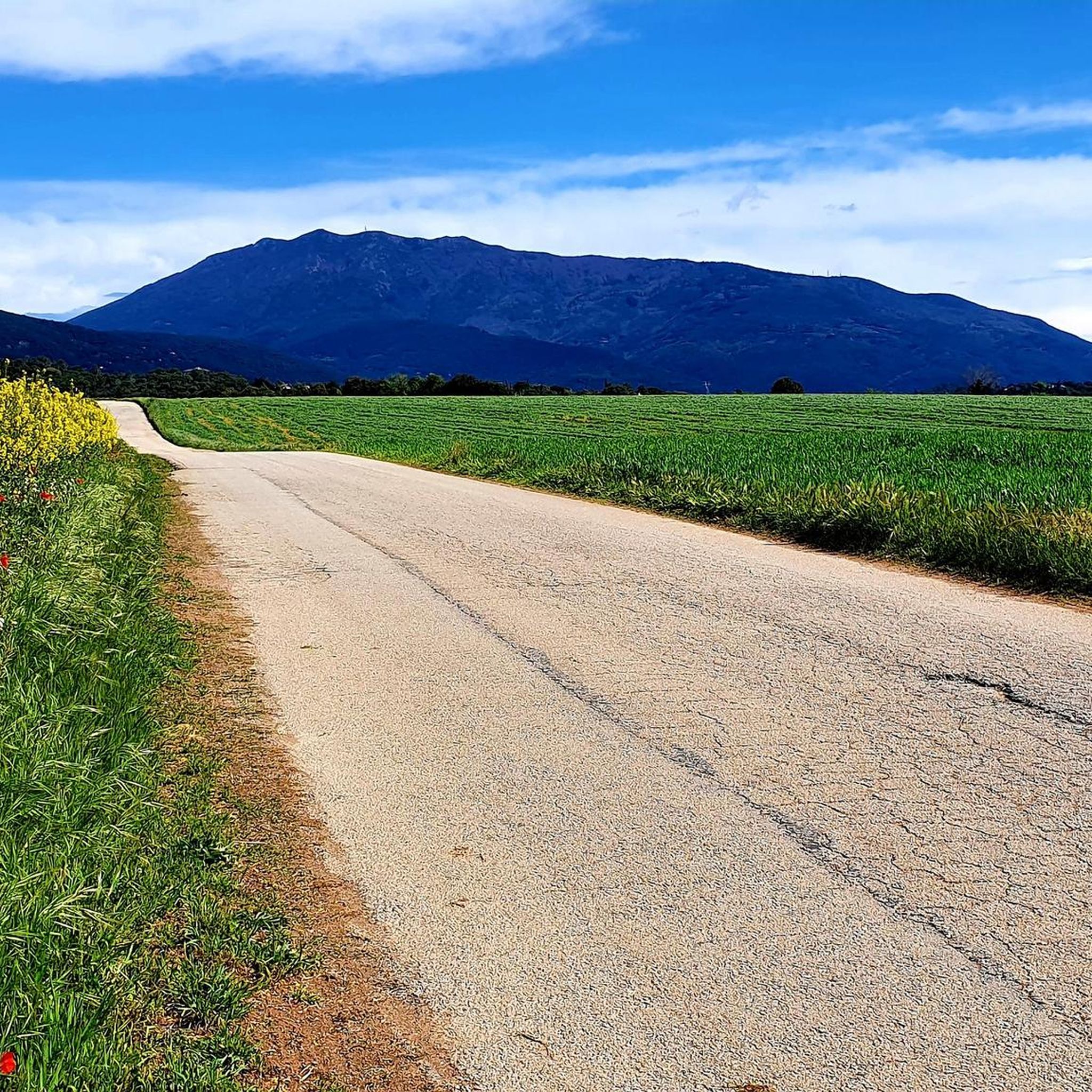
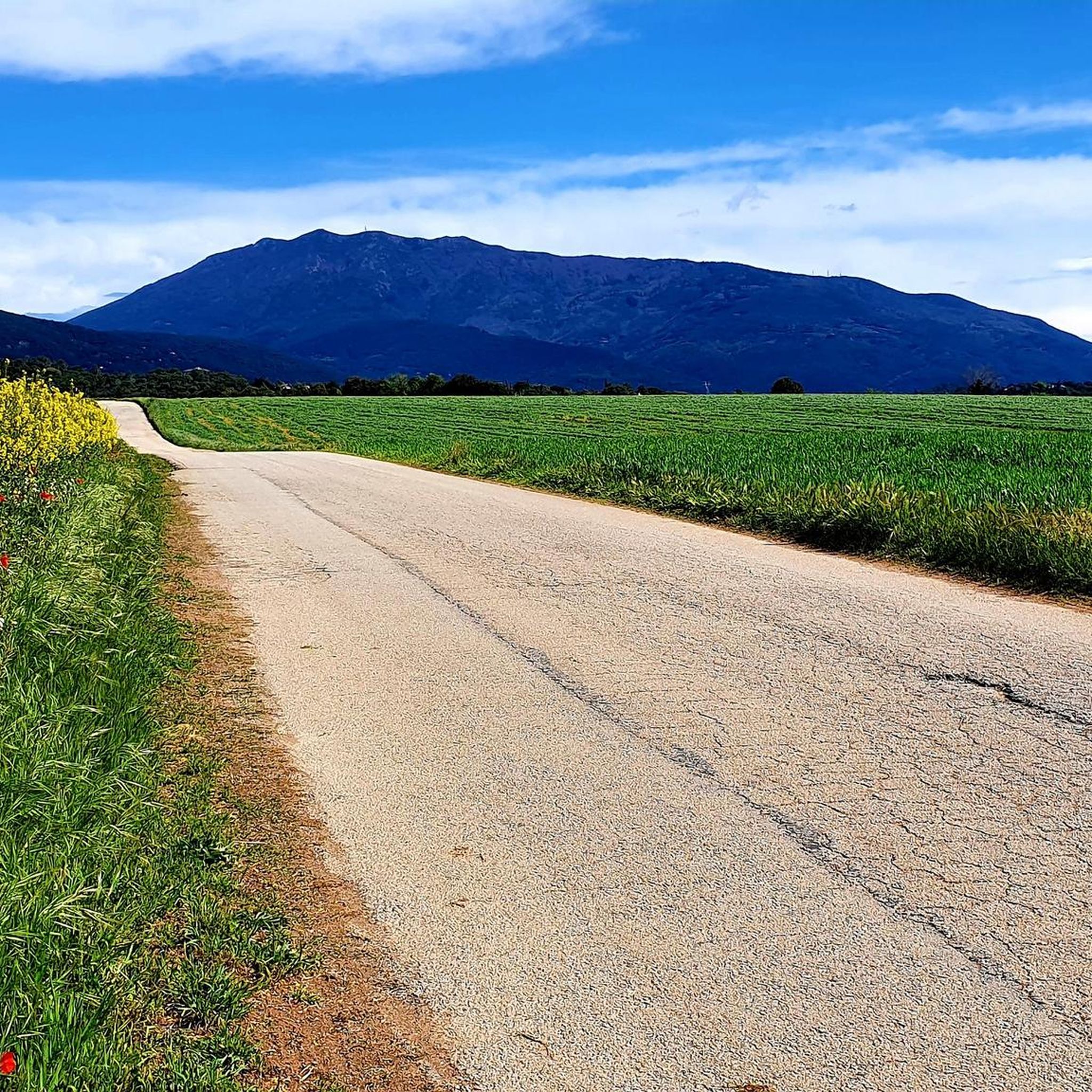
Hiking around Sant Antoni De Vilamajor offers access to diverse landscapes at the foot of the Montseny massif, bordering the Montseny Natural Park, a UNESCO Biosphere Reserve. The region features a varied terrain, transitioning from agricultural plains along the Mogent river to forested hills and mountain ranges. This area of Catalonia is characterized by holm oak groves, cork oak forests, pine forests, beech, and fir woods, providing a range of natural environments for exploration.
Best hiking trails around Sant Antoni…
Last updated: July 5, 2026
4.8
(6)
24
hikers
8.79km
02:22
110m
110m
Moderate hike. Good fitness required. Easily-accessible paths. Suitable for all skill levels.
5.0
(3)
22
hikers
Moderate hike. Good fitness required. Easily-accessible paths. Suitable for all skill levels.

Sign up for free
4.8
(4)
22
hikers
Hard hike. Very good fitness required. Easily-accessible paths. Suitable for all skill levels.
4.8
(4)
16
hikers
7.52km
02:00
80m
80m
Moderate hike. Good fitness required. Easily-accessible paths. Suitable for all skill levels.
12
hikers
Moderate hike. Good fitness required. Easily-accessible paths. Suitable for all skill levels.
Get access to more routes and recommendations from other explorers.
Sign up for free
Already have an account?
Our route recommendations are based on thousands of hikes, rides, and runs completed by other people on komoot.
Start today with a free account
Your next adventure awaits.
Login or Signup

Tips from the Community

It's a megalithic tomb, approximately 5,000 years old, discovered in 1997 and restored in 2006-2007. Located in the heart of the Montnegre i el Corredor Natural Park, it's easy to miss, but it has a history: it belonged to a Neolithic community that used it as a collective grave. Interestingly, remains of the tumulus that covered it are still preserved, which is unusual, and its orientation seems related to astronomical events, like other dolmens in the area. It's an archaeological rarity in the middle of a prime cycling area, perfect for stopping and reflecting that humans once walked this path... but without helmets.
2
0
An ancient watchtower with a Roman base and medieval structure, perched at an altitude of 416 meters, offers breathtaking panoramic views of the coastline and the Vallès region. Built to monitor roads and warn of dangers, it was converted into a hunting lodge in 1906, with the addition of a kitchen and bedrooms. Later, it fell into disrepair, was vandalized, and was restored in 2011. Today, it is open to the public and a popular stop for cyclists due to its strategic location, shade, and natural viewpoint. The base retains Roman ashlar blocks, making it an archaeological rarity in the heart of the mountains.
0
0
Located about 6 km from Llinars del Vallès and at an altitude of 406 meters, the hermitage of Sant Sebastià offers beautiful views, shade, and a picnic area, making it an ideal stop along the way. Documented since 1640, it lay in ruins until 2016 when a group of volunteers began its reconstruction, which was faithfully completed in 2018. The hermitage, measuring 10 x 5 meters, was notable for its bell gable, voussoir archway, and granite blocks. Traditionally, gatherings were held there in honor of Saint Sebastian, protector against the plague and storms. Small stones found in the surrounding area were believed to bring good luck and protection.
1
0

Good views and a quiet place to replenish your energy
0
0

It's not a very big Christmas tree, but it's nice to go see it with the kids.
0
0

The views from this cliff are simply spectacular, a sunset or simply a peripheral vision of everything that surrounds you, you have to see it.
1
0

Good views of Montseny. Good mountain bike descents.
1
0

Place with very good views
1
0
Frequently Asked Questions
How many hiking trails are available around Sant Antoni de Vilamajor?
There are over 370 hiking routes around Sant Antoni de Vilamajor, catering to various skill levels. You'll find a wide selection of paths, from easy strolls to more challenging treks, exploring the diverse landscapes at the foot of the Montseny massif.
What kind of terrain can I expect on hikes in this region?
The terrain around Sant Antoni de Vilamajor is quite varied. You'll encounter agricultural plains along the Mogent river, forested hills with holm oak and cork oak, and higher elevations leading into the Montseny Natural Park, which features pine, beech, and fir woods. The landscape transitions from under 200 meters to over 1,700 meters, offering diverse environments.
Are there any family-friendly hiking options in Sant Antoni de Vilamajor?
Yes, the region offers numerous easy walks suitable for families. While specific routes are not detailed here, the overall network includes many paths designed for less strenuous activity, allowing families to enjoy the natural beauty of the area. Look for routes marked as 'easy' in the guide for suitable options.
Can I bring my dog on the hiking trails?
Many trails in the Sant Antoni de Vilamajor area are dog-friendly, allowing you to enjoy the outdoors with your canine companion. However, it's always recommended to keep dogs on a leash, especially within the Montseny Natural Park, to protect wildlife and ensure a pleasant experience for all hikers. Check local signage for specific regulations.
What are some notable landmarks or natural features to see while hiking?
Hikers can explore a rich array of natural and historical attractions. Highlights include the ancient Dolmen de Ca l'Arenes, the scenic Vallforners Reservoir, and the picturesque Vallcàrquera Stream. Historic hermitages like Ermita de Sant Sebastià and Ermita de Sant Hilari, along with the ancient La Torrassa del Moro tower, also offer cultural interest and stunning views.
Are there circular hiking routes available?
Yes, many of the hiking routes around Sant Antoni de Vilamajor are circular, offering convenient starting and ending points. An example is the Sant Hilari Hermitage – Crocheted Christmas Tree loop from Cardedeu, which is a moderate 5.5-mile path.
What is the best time of year to go hiking in Sant Antoni de Vilamajor?
The climate is Mediterranean with pre-coastal influences, offering mild, less humid winters and warm, dry summers. Moderate rainfall occurs primarily in spring and autumn. Therefore, spring and autumn are generally the best times for hiking, providing pleasant temperatures and lush scenery. Summers can be warm, while winters are mild.
What do other hikers enjoy most about the trails here?
The trails around Sant Antoni de Vilamajor are highly rated by the komoot community, with an average score of 4.5 stars from over 700 reviews. Hikers frequently praise the diverse landscapes, from agricultural plains to dense forests, and the well-maintained paths that offer a range of experiences from easy walks to more demanding treks.
Are there any easy routes for beginners or those looking for a relaxed walk?
Absolutely. Out of the total routes, 138 are classified as easy, making them perfect for beginners or anyone seeking a relaxed outdoor experience. These paths often explore the gentler agricultural and forested areas, providing a pleasant introduction to the region's natural beauty.
Are there any routes that offer significant viewpoints?
Many trails provide excellent viewpoints, especially those that ascend into the foothills of Montseny. For instance, the Hermitage of Saint Sebastian – La Torrassa del Moro loop from Llinars del Vallès includes the ancient La Torrassa del Moro tower, which serves as a natural viewpoint offering scenic vistas of the surrounding area.
How can I get to the hiking trails using public transport?
Sant Antoni de Vilamajor is located in the Vallès Oriental region, and while specific bus routes to trailheads are not detailed here, the area is generally accessible. For routes starting from nearby towns like Cardedeu or Llinars del Vallès, you can often find public transport connections to these starting points. It's advisable to check local bus and train schedules for the most current information.
Is parking available near the trailheads?
Yes, parking is generally available near many of the popular trailheads and starting points in and around Sant Antoni de Vilamajor, especially in the towns and villages. For specific routes, it's recommended to check the route details on komoot, as many tours include information about parking facilities at their starting locations.
Most popular routes around Sant Antoni De Vilamajor
Most popular attractions around Sant Antoni De Vilamajor

Get inspired with the komoot mobile app


Explore more
Browse the best Hikes in other regions.
