The 6 Most Amazing Peaks around Genalguacil
Best mountain peaks around Genalguacil are found within the Sierra Bermeja range, where the village is situated on its northern slopes. This region is part of the larger Serranía de Ronda and is characterized by its ochre-colored peaks and diverse natural landscapes. The Genal Valley, known for its lush forests and rivers, further defines the area's mountainous appeal. The terrain offers a variety of experiences for those exploring the natural features of the region.
Best mountain peaks around Genalguacil
- The…
Last updated: May 17, 2026
Pico de los Reales — Summit View
Highlight • Summit
Translated by Google •
Tip by

Pico de los Reales de Sierra Bermeja
Highlight • Summit
Translated by Google •
Tip by

Sign up now to discover places like this
Get recommendations on the best single tracks, peaks, & plenty of other exciting outdoor places.
Sign up for free
Salvador Guerrero Viewpoint
Highlight • Viewpoint
Translated by Google •
Tip by
Chapas Hill
Highlight • Summit
Tip by

Estepona to Los Reales Trail (PR-A 164)
Highlight • Trail
Translated by Google •
Tip by
Sign up for free to discover even more peaks around Genalguacil.
Sign up for free
Already have an account?
Start today with a free account
Your next adventure awaits.
Login or Signup

Other adventures around Genalguacil

Tips from the Community

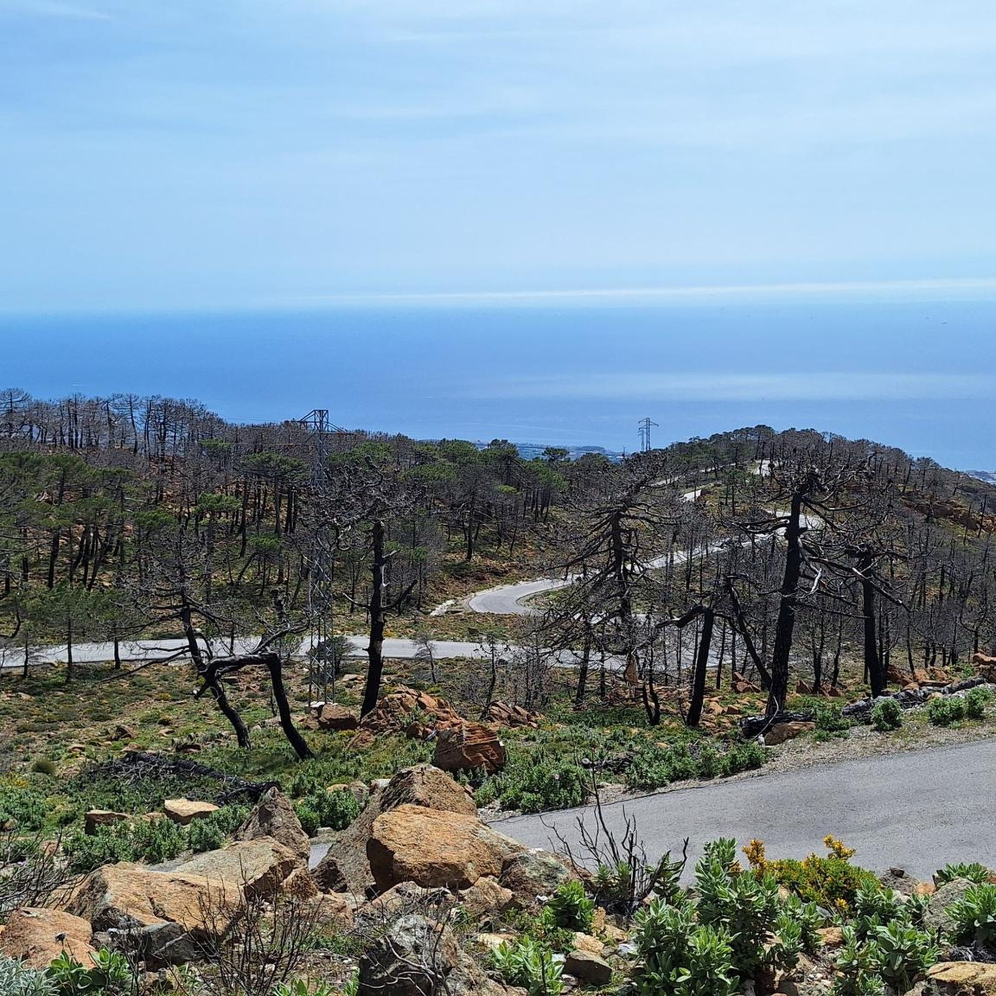
It's very windy up there. Take something warm with you. The view is breathtaking. With good visibility, you can see as far as Gibraltar and the Atlas Mountains.
0
0

Great view to Gibraltar and Africa among others. Last climb to the top the path was sometimes difficult to follow because of many fallen burnt trees. So then keep in the direction of the visible transmission towers.
0
0

Start from the parking lot behind the Los Reales refuge. First follow the green/white path markings, then the cairns and if you are lost, always follow the direction of the electricity pylons. For those who want to be comfortable, we recommend the closed road 150 m in front of the refuge. Here you can go up comfortably, and the great view comes at the end.😁
2
0
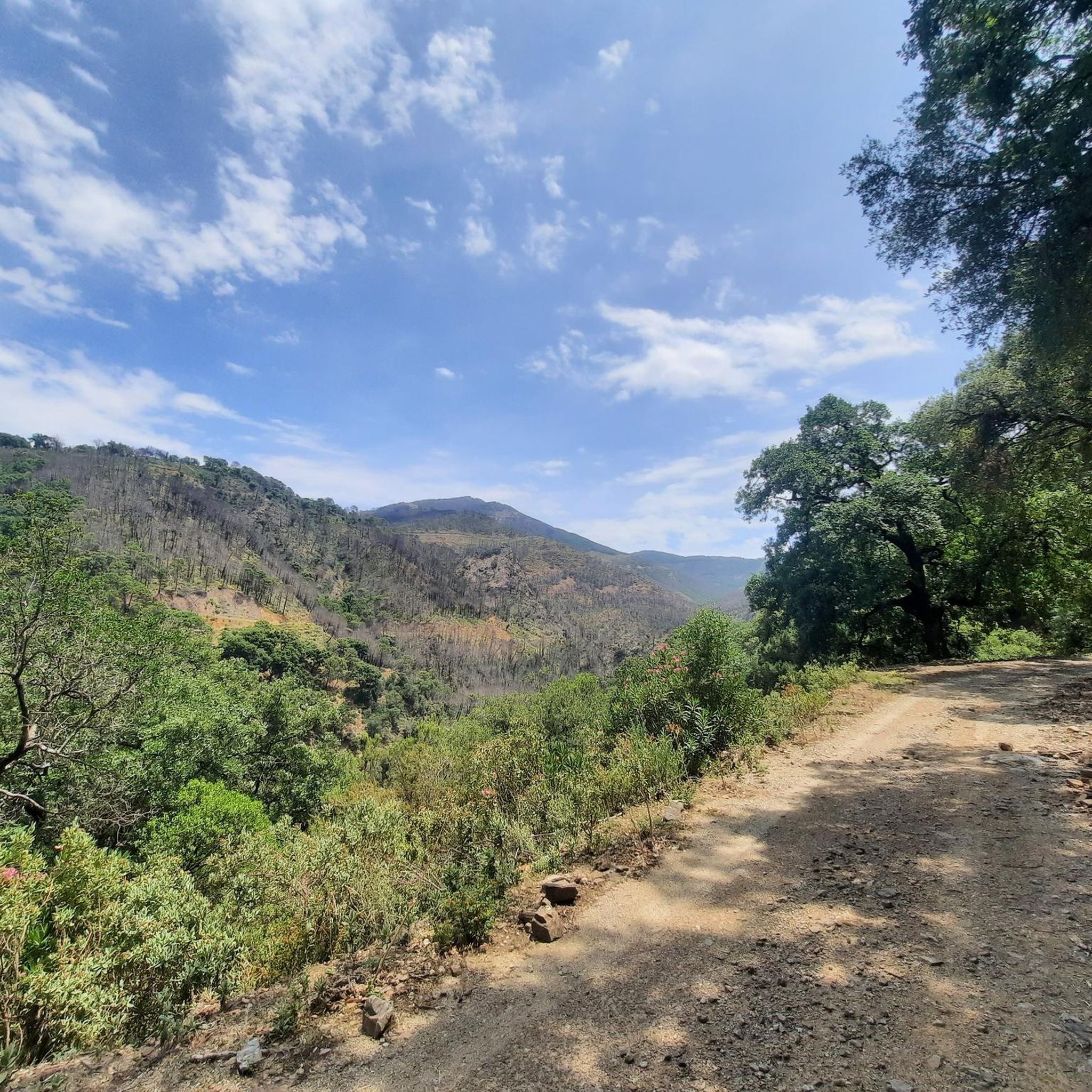
A brilliant view of the summit. I can only agree with the previous speaker here. After the forest fire, nature is currently recovering.
1
0

Marked and signposted trail to the peak of Los Reales. The trail follows the river streams and streams that run from Sierra Bermeja to the sea.
1
0
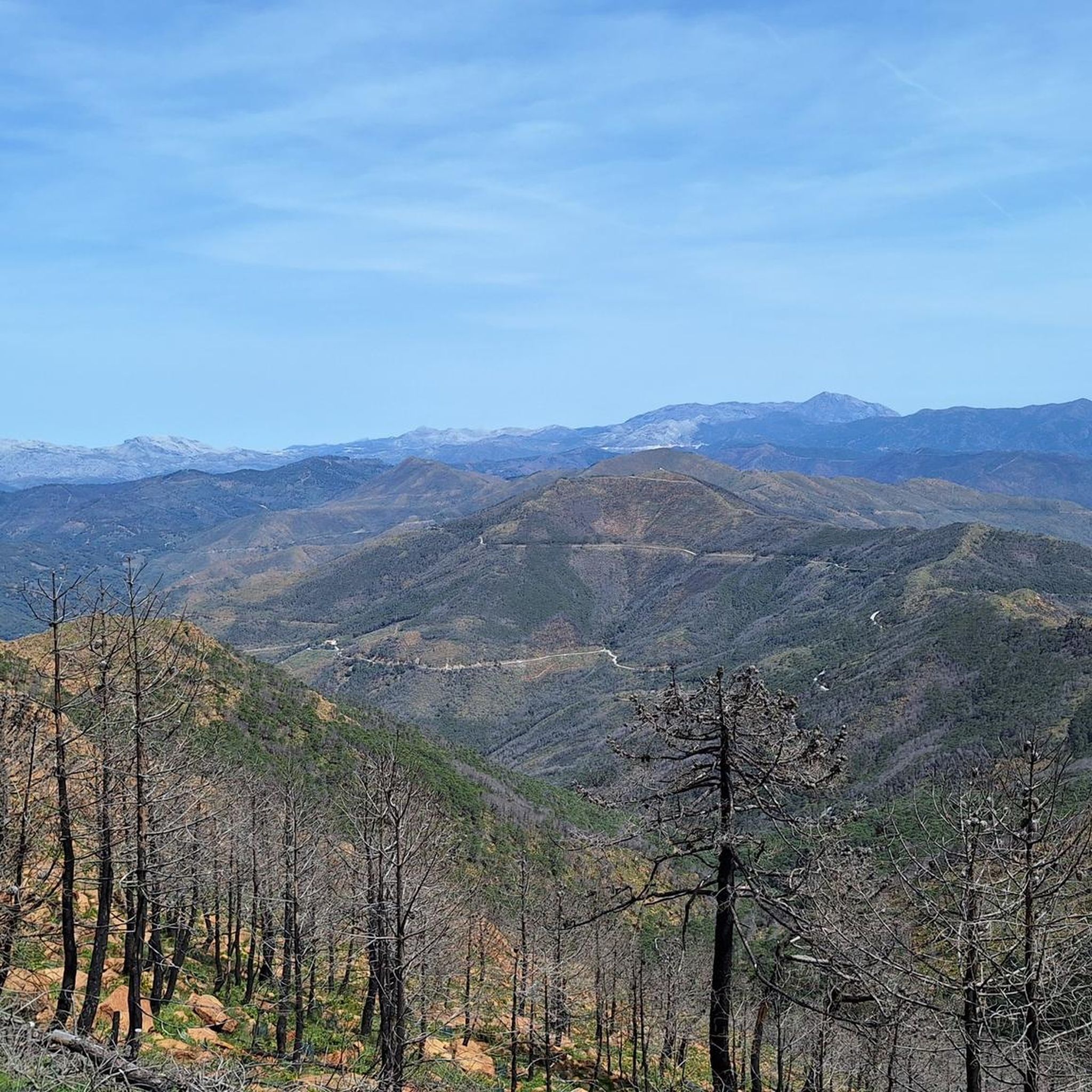
The 3.1km climb rewards you with spectacular views. From the peak of Los Reales, the highest peak in Sierra Bermeja with 1,452 meters above sea level, the views are impressive. It is best climbed on clear days, where you can even see the peaks of the Sierra Nevada.
3
1
A designated observation viewpoint on the climb to Pico de los Reales on the Sierra Bermeja mountain. Spectacular views of the bay of Estepona. Now, can you reach the top?
1
0

from the peak you can see the entire African coast
1
0
Frequently Asked Questions
What are the most notable mountain peaks and viewpoints around Genalguacil?
The region around Genalguacil, situated on the northern slopes of the Sierra Bermeja, offers several prominent peaks and viewpoints. The highest point in Sierra Bermeja is Pico de los Reales — Summit View, which provides spectacular panoramic views, including the Sierra Nevada on clear days. Another significant spot is Pico de los Reales de Sierra Bermeja, offering vistas towards the Mediterranean Sea, Campo de Gibraltar, and even the African continent. For an observation point with clear views of the Bay of Estepona, visit Salvador Guerrero Viewpoint, often encountered on the ascent to Pico de los Reales.
What kind of terrain and difficulty can I expect when hiking the mountains near Genalguacil?
The mountainous terrain around Genalguacil, part of the Serranía de Ronda and Sierra Bermeja, varies from intermediate climbs to more challenging routes. You'll encounter ochre-colored peaks, lush pinsapo pine forests, and the deep Genal Valley with its rivers. Trails can range from well-marked paths, like the Estepona to Los Reales Trail (PR-A 164), to less defined paths, such as those leading to Chapas Hill, which can be quite an adventure.
Are there any easy or family-friendly mountain walks around Genalguacil?
While many routes involve intermediate climbs, the Genal Valley itself offers picturesque routes with varying difficulty levels. For an easier option, consider parts of the trails that follow the Genal River, which provide a gentler experience amidst lush forests. The village of Genalguacil is nestled in this valley, making it a good starting point for exploring less strenuous paths.
What is the best time of year to visit the mountain peaks around Genalguacil for hiking?
The best time to visit the mountains around Genalguacil for hiking is typically during the spring (March to May) and autumn (September to November). During these seasons, the weather is milder, avoiding the intense heat of summer and the cooler, potentially wetter conditions of winter. Autumn is particularly beautiful with the chestnut groves in the Genal Valley displaying vibrant colors.
What other outdoor activities can I do near the mountain peaks of Genalguacil?
Beyond peak bagging, the region around Genalguacil is excellent for various outdoor activities. You can find numerous hiking trails, including circular routes, that explore the natural beauty of the Genal Valley and Sierra Bermeja. For cyclists, there are challenging cycling routes, and mountain biking enthusiasts will discover a range of MTB trails. You can explore more options in the dedicated guides for Hiking around Genalguacil, Cycling around Genalguacil, and MTB Trails around Genalguacil.
Are there any specific hiking trails that lead to the main peaks?
Yes, there are marked trails that guide you to the prominent peaks. For instance, the Estepona to Los Reales Trail (PR-A 164) is a signposted route that leads directly to the peak of Los Reales, following river streams from Sierra Bermeja towards the sea. To reach Pico de los Reales — Summit View, you can start from the parking lot behind the Los Reales refuge and follow green/white path markings or cairns.
What should I wear or bring when hiking in the Genalguacil mountains?
When hiking in the Genalguacil mountains, it's advisable to wear appropriate hiking footwear, preferably boots, especially for intermediate to challenging routes. Layered clothing is recommended to adapt to changing temperatures, and sun protection (hat, sunscreen) is essential. Always carry enough water, snacks, and a map or GPS device. For less defined paths, good navigation skills are beneficial.
Are there any circular walks available in the Genalguacil mountains?
Yes, the area offers several circular walks that allow you to experience the diverse landscapes. For example, the Benarraba - Genalguacil route is a circular crossing of the Genal River (PR-A 240), offering a moderate hike. Another option is the Port of Lentisco circular route (PR-A 214) starting from Genalguacil. These routes provide varied scenery and a complete experience of the local environment.
Where can I find parking for hiking trails around Genalguacil?
For hikes leading to Pico de los Reales — Summit View, you can typically find parking behind the Los Reales refuge. It's always a good idea to check specific trailheads for designated parking areas or inquire locally in Genalguacil for the most convenient spots, especially for popular routes.
What natural features define the mountainous landscape around Genalguacil?
The mountainous landscape around Genalguacil is primarily defined by the Sierra Bermeja, known for its distinctive ochre-colored peaks and one of Spain's few remaining pinsapo pine forests. The village is also nestled within the lush Genal Valley, characterized by crystalline rivers, rich biodiversity, and extensive tree cover including cork oaks and Mediterranean thicket. The dramatic V-shaped gorges and diverse vegetation contribute to a unique natural environment.
What do visitors enjoy most about the mountain peaks and surrounding area of Genalguacil?
Visitors consistently praise the spectacular views from peaks like Pico de los Reales — Summit View, which offers expansive panoramas. The recovery of nature after forest fires and the sense of adventure on less-traveled paths, such as those near Chapas Hill, are also frequently highlighted. The combination of artistic charm in Genalguacil village and the surrounding natural grandeur makes it a rewarding destination for nature lovers and hikers.
Are there any wild swimming spots in the Genal Valley near the mountains?
The Genal Valley is known for its crystalline rivers. While specific designated wild swimming spots are not always officially marked, the Genal River itself offers opportunities for refreshing dips in natural pools, especially during warmer months. Many hiking trails follow the river, allowing for exploration and discovery of these natural havens.
Most popular attractions around Genalguacil

Get inspired with the komoot mobile app


Explore more
See even more amazing summits around Genalguacil with these guides:
