The best MTB trails around Baños De Tajo
4.1
(10)
151
riders
7
rides
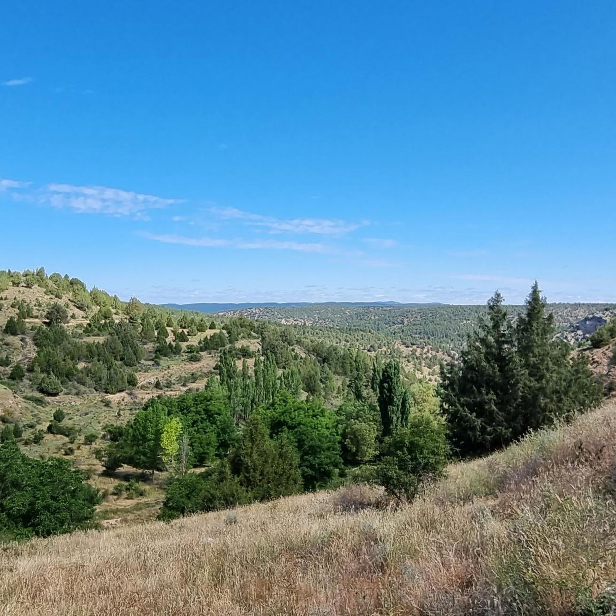
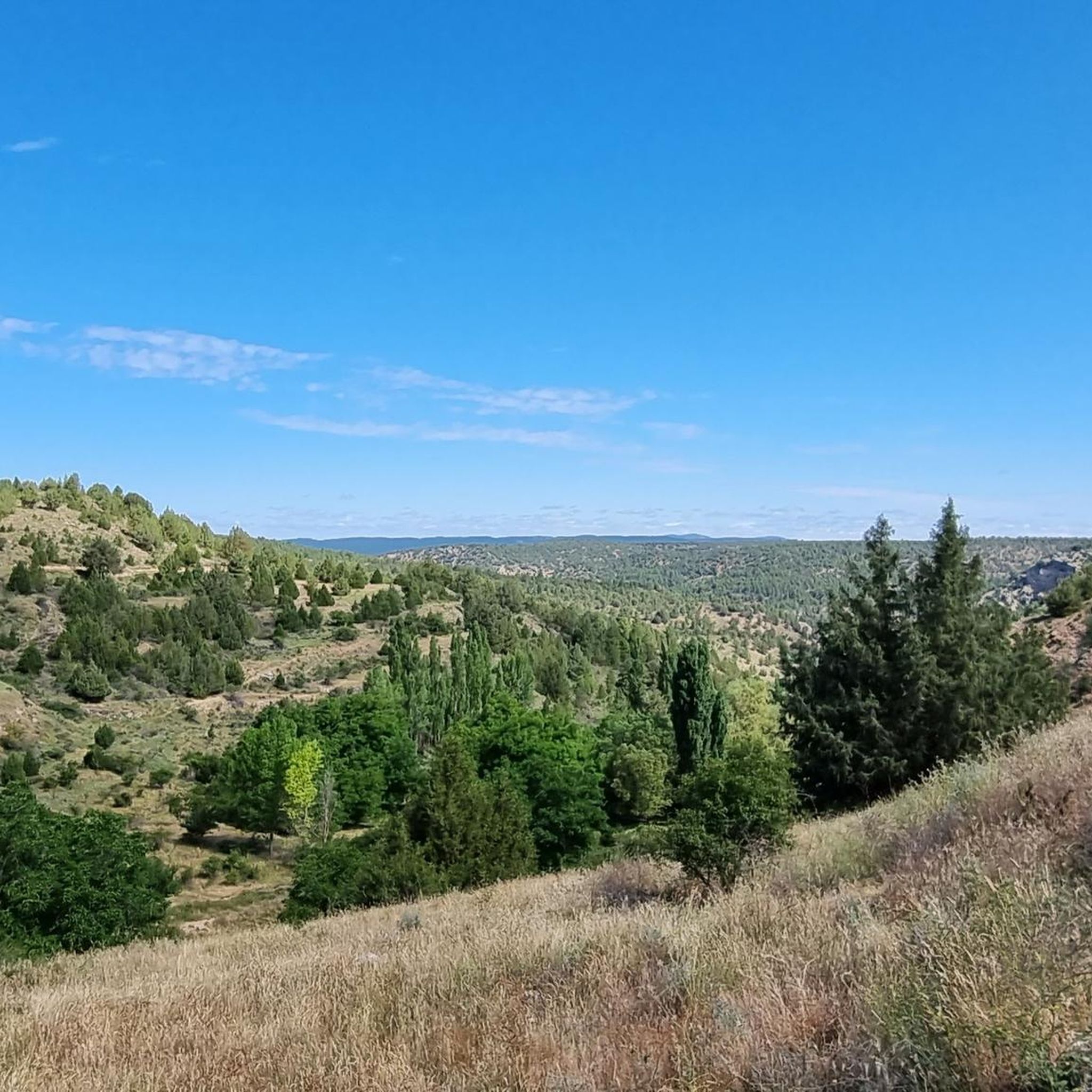
Mountain bike trails around Baños De Tajo are set within the Alto Tajo Natural Park, characterized by a network of canyons and gorges carved by the Tajo River and its tributaries. The region features pine and juniper forests, providing shaded trails, and mountainous terrain with elevations over 1250 meters. This landscape offers diverse routes, from riverside paths to more challenging climbs through the Iberian Mountain Range.
Best mountain bike trails around Baños De Tajo
- The most popular mountain bike trail…
Last updated: May 16, 2026
6
riders
28.5km
02:48
500m
500m
This moderate 17.7-mile mountain bike loop in Alto Tajo Natural Park explores river canyons, pine forests, and the Salto de Poveda waterfall
3.0
(1)
46
riders
72.7km
06:29
1,050m
1,050m
Hard mountain bike ride. Very good fitness required. Suitable for all skill levels.

Sign up for free
4.8
(4)
40
riders
115km
10:11
2,050m
2,050m
Hard mountain bike ride. Very good fitness required. Suitable for all skill levels.
8
riders
73.6km
06:37
1,080m
1,080m
Hard mountain bike ride. Very good fitness required. Suitable for all skill levels.
Get access to more routes and recommendations from other explorers.
Sign up for free
Already have an account?
Our route recommendations are based on thousands of hikes, rides, and runs completed by other people on komoot.
Start today with a free account
Your next adventure awaits.
Login or Signup
Popular around Baños De Tajo

Tips from the Community

It's a shaded, cool rest area where you can relax and have a bite to eat on the stone benches. In Peralejos, there's a small grocery store where you can buy food or toiletries.
9
0
This setting couldn't be more spectacular, containing a series of stone figures capriciously created by nature over hundreds of thousands of years. Erosion has exposed the hardest parts of the rocks, which remain as silent witnesses to the passage of time and serve as an attraction for tourists who come to marvel at these strange formations.
9
0
This spectacular bridge is almost hidden from view and serves as an excuse to cross the Tagus River from one bank to the other. It is very well preserved and is located next to several striking rock faces.
9
0
They are a series of rural houses called "El Salto" (The Salto) located in a privileged setting, very close to the Tajo suspension bridge, and are accessed from the road via a dirt forest track. This place also has a small restaurant where you can have lunch and spend some pleasant moments.
9
0
This viewpoint is located in a privileged place in front of a spectacular rocky cliff, which if you pass by on your bike on a hot day when the heat reflects its image on this wall... I think you'll have to stop and rest for a few seconds.
9
0
This descending valley, which runs alongside the Tagus River for many kilometres, is full of unique and unrepeatable corners, due to the capricious formations that occur every few metres.
9
0
What an exclusive paradise and privileged setting this lagoon has, whose waters come almost exclusively from underground seepage. Swimming is permitted in this lagoon, but recreational diving is prohibited.
9
0
This is undoubtedly one of the Tagus's great wonders. Crossing the beautiful river on a suspension bridge like this one, where motor vehicles are prohibited, reduces the number of crossing options. Walkers and cyclists can enjoy the oscillating motion experienced by the bridge's anchorage. Absolutely recommended!
7
0
Frequently Asked Questions
What kind of terrain can I expect when mountain biking in Baños De Tajo?
Baños De Tajo, located within the Alto Tajo Natural Park, offers a diverse range of terrain. You'll encounter extensive canyons and gorges carved by the Tajo River, alongside beautiful pine and juniper forests. The region is mountainous, with elevations over 1250 meters, featuring characteristics of the Iberian Mountain Range like crevices and jagged peaks. Routes vary from panoramic riverside paths to challenging climbs.
Are there any family-friendly mountain bike trails in Baños De Tajo?
While many routes in Baños De Tajo are rated moderate to difficult, some sections along the Tajo River offer more gentle terrain suitable for families. For a moderate option, consider the Montañas Vacías and Alto Tajo Loop, which covers 28.5 km and provides varied scenery without extreme difficulty.
What natural attractions can I see along the mountain bike trails?
The trails in Baños De Tajo pass by several notable natural features. You can ride past the impressive Salto de Poveda Waterfall, or visit the crystal-clear waters of Laguna de Taravilla. The region is also known for 'Las Juntas,' where the Tajo, Cabrillas, and Coronillas rivers meet, offering picturesque views.
Are there any circular mountain bike routes available?
Yes, many of the mountain bike routes in Baños De Tajo are circular. For example, the Estrecho del Horcajo Viewpoint – Laguna de Taravilla loop from Alto Tajo Natural Park is a moderate 50.2 km trail that takes you through canyons and forests. Another option is the challenging Laguna de Taravilla – Trail along the Tajo River loop from Peñalén, which follows the Tajo River for 72.7 km.
What is the best time of year for mountain biking in Baños De Tajo?
The region's climate, with its abundant fresh water sources and shaded pine and juniper forests, makes it enjoyable for mountain biking across several seasons. Spring and autumn generally offer pleasant temperatures and vibrant landscapes. Summer can be warm, but the shaded trails and river areas provide relief. Winter can bring colder conditions, especially at higher elevations.
What do other mountain bikers say about the trails in Baños De Tajo?
The mountain bike routes in Baños De Tajo are highly rated by the komoot community, with an average score of 4.1 stars from over 10 reviews. Riders often praise the diverse terrain, from challenging mountainous climbs to scenic riverside paths, and the stunning natural beauty of the Alto Tajo Natural Park.
Are there any interesting bridges or historical points along the trails?
Yes, the area features several notable bridges. You can cross the unique Suspension bridge over the River Tajo, known for its movement and sounds. Another significant structure is Puente de Peñalén, built in 1943, located near the beautiful 'Picones de San Pedro' area. The San Pedro Bridge – Laguna de Taravilla loop from P2 also incorporates a bridge into its route.
How many mountain bike trails are there in Baños De Tajo?
There are 7 mountain bike trails documented around Baños De Tajo, offering a range of experiences from moderate to difficult. These routes allow you to explore the diverse landscapes of the Alto Tajo Natural Park.
Are there any particularly challenging mountain bike routes in the area?
Yes, Baños De Tajo offers several challenging routes for experienced mountain bikers. The Trail along the Tajo River – Puente de Peñalén loop from Alto Tajo Natural Park is a difficult 114.8 km route, while the San Pedro Bridge – Laguna de Taravilla loop from P2 is another difficult option spanning 73.6 km, both featuring significant elevation changes.
Can I find routes that follow the Tajo River?
Absolutely. The Tajo River is a central feature of the region, and many mountain bike trails follow its course. The Laguna de Taravilla – Trail along the Tajo River loop from Peñalén is a prime example, offering extensive sections along the river, passing by the Laguna de Taravilla.
What are the typical elevations encountered on mountain bike trails here?
Baños De Tajo is situated at over 1250 meters, and the mountain bike trails feature significant elevation changes. Routes can involve climbs of over 1000 meters, such as the Trail along the Tajo River – Puente de Peñalén loop from Alto Tajo Natural Park, which has over 2000 meters of ascent, providing challenging experiences for riders.
Most popular routes around Baños De Tajo
Most popular attractions around Baños De Tajo

Get inspired with the komoot mobile app


Explore more
Browse the best MTB trails in other regions.
