The best running trails around Coles
4.6
(6)
1,166
runners
61
runs
Jogging routes around Coles offer a diverse range of terrain, from coastal paths to trails with significant elevation gain within Freycinet National Park. The region is characterized by its natural features, including turquoise waters, white-sand beaches, and surrounding hills. Running trails vary in difficulty, accommodating both casual joggers and those seeking more rigorous experiences.
Best jogging routes around Coles
- The most popular jogging route is Embalse de Castadón – circular from Ourense por los Castros de San Tomé, a…
Last updated: June 28, 2026
5.0
(1)
6
runners
11.4km
01:23
280m
280m
Moderate run. Good fitness required. Mostly accessible paths. Some sure footedness required.
5.0
(1)
164
runners
13.1km
01:27
100m
100m
Moderate run. Good fitness required. Mostly paved surfaces. Suitable for all skill levels.

Sign up for free
5.0
(1)
41
runners
Moderate run. Good fitness required. Mostly paved surfaces. Suitable for all skill levels.
15
runners
7.22km
00:54
160m
160m
Moderate run. Good fitness required. Mostly paved surfaces. Suitable for all skill levels.
9
runners
9.98km
01:14
250m
250m
Moderate run. Good fitness required. Mostly paved surfaces. Suitable for all skill levels.
Get access to more routes and recommendations from other explorers.
Sign up for free
Already have an account?
Our route recommendations are based on thousands of hikes, rides, and runs completed by other people on komoot.
Start today with a free account
Your next adventure awaits.
Login or Signup
Tips from the Community

It spans the Miño River, linking the historic center of Ourense with the A Ponte neighborhood. It was built in the 1st century AD as a branch of the Via Nova (Via XVIII), connecting Bracara Augusta (Braga) with Asturica Augusta (Astorga). Only traces of the original Roman phase remain, such as rusticated stonework at the ends near the banks. It suffered damage during the Middle Ages; in 1228, under Bishop Lorenzo and with the support of Ferdinand III, it was rebuilt with pointed arches and renovated approaches. Until the 17th century, the bridge repeatedly collapsed. The final work was directed by Melchor de Velasco Agüero around 1660, establishing its current appearance.
1
0

Interesting bridge 🤙
0
2

The Castro de Santomé, located near the Lonia River in Ourense, is an important archaeological site that includes remains of a pre-Roman fort and a later Roman settlement. The site offers spectacular views and is surrounded by an exceptional natural environment, where the natural pools or cauldrons formed by the erosion of the Lonia River stand out. These cauldrons, also known as giant's cauldrons, are circular formations in the rocks of the riverbed, originating from the movement of water over time. The area is ideal for hiking trails, combining historical heritage and natural beauty, making it a very attractive destination for lovers of archaeology and nature.
1
0
Lonia Park in Ourense is a large green space located in the As Lagoas area, which follows the course of the Lonia River. It offers trails, rest areas and children's areas, making it ideal for walking, relaxing and enjoying nature in a peaceful setting within the city.
0
0

Very beautiful bridge from Roman times
2
1
Frequently Asked Questions
How many running routes are available around Coles?
There are over 60 dedicated running routes around Coles, offering a wide variety of experiences for all fitness levels. These include easy paths, moderate trails, and more challenging ascents.
What types of terrain can I expect on the jogging routes near Coles?
The jogging routes around Coles feature diverse terrain, including scenic paths along the river, through urban areas, and parkland. You'll find a mix of paved surfaces and natural trails, with varying elevation gains.
Are there any easy running routes suitable for beginners in the Coles area?
Yes, there are several easy running options. While many routes are moderate, you can find paths suitable for beginners. For example, the area offers routes with minimal elevation gain, perfect for a relaxed run.
What are some notable landmarks or points of interest I can see while running near Coles?
Many running routes pass by significant landmarks. You can jog past the historic Ponte Vella (Roman Bridge of Ourense), explore the Main Square of Ourense, or even see the impressive Cathedral of San Martín de Ourense. Natural features like the Outariz Hot Springs are also accessible.
Are there any circular running routes around Coles?
Yes, many routes around Coles are designed as loops, perfect for circular runs. An excellent example is the Embalse de Castadón – circular from Ourense por los Castros de San Tomé, which offers varied landscapes and a steady elevation gain over 7.1 miles.
What do other runners say about the jogging routes in Coles?
The running routes in Coles are highly rated by the komoot community, with an average score of 4.6 stars from numerous reviews. Runners often praise the varied landscapes, scenic river views, and the accessibility of routes through both urban and natural settings.
Are there any running routes that offer scenic viewpoints?
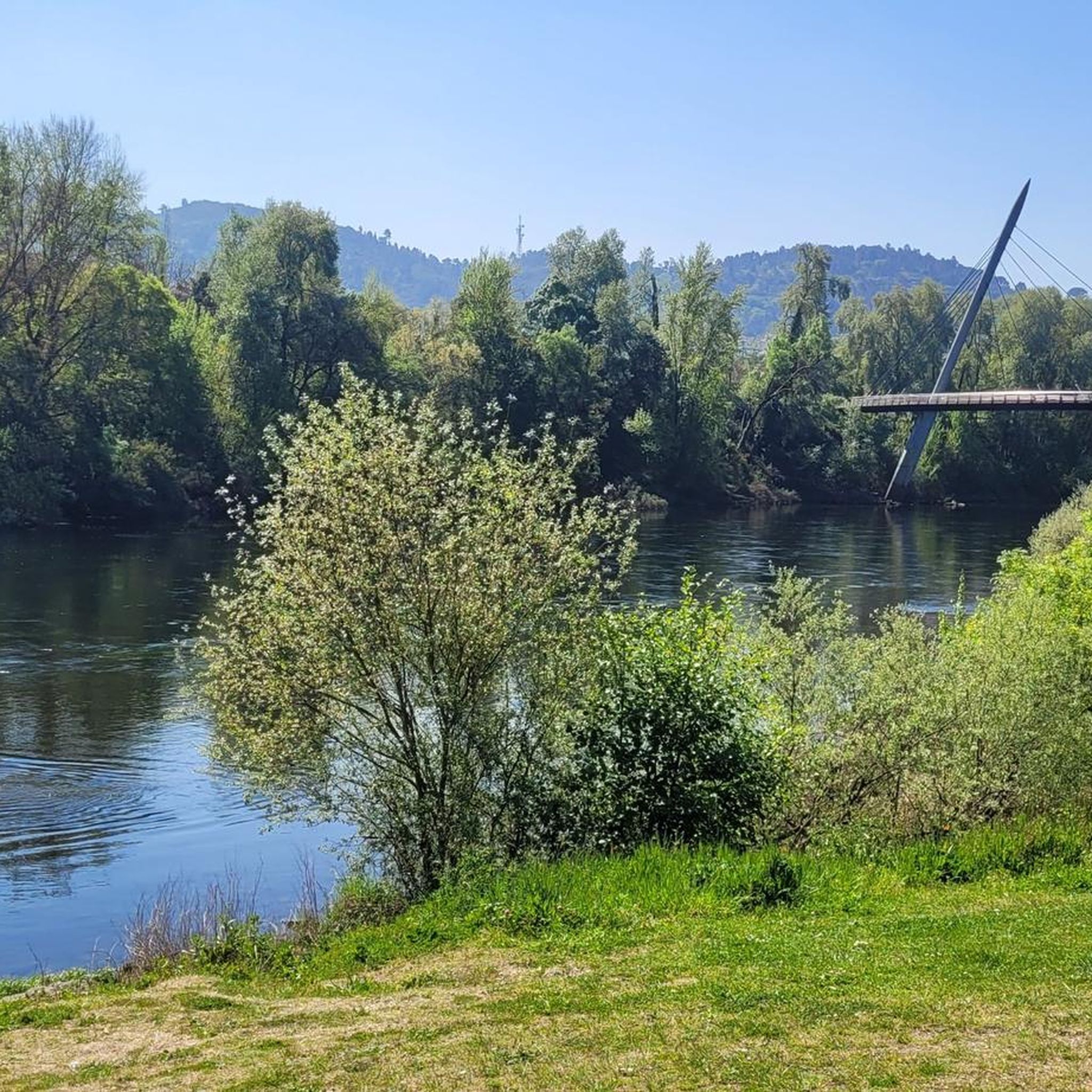
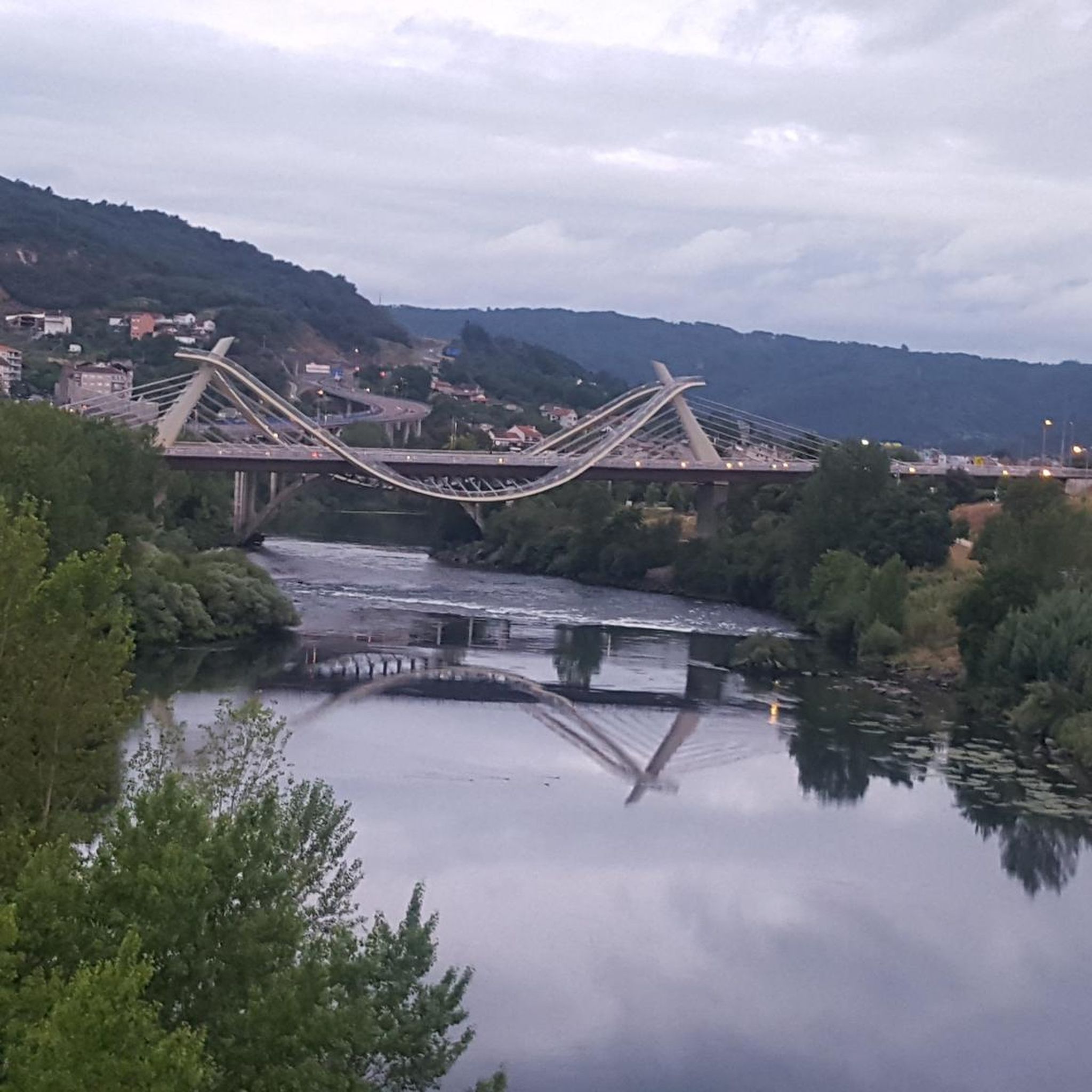
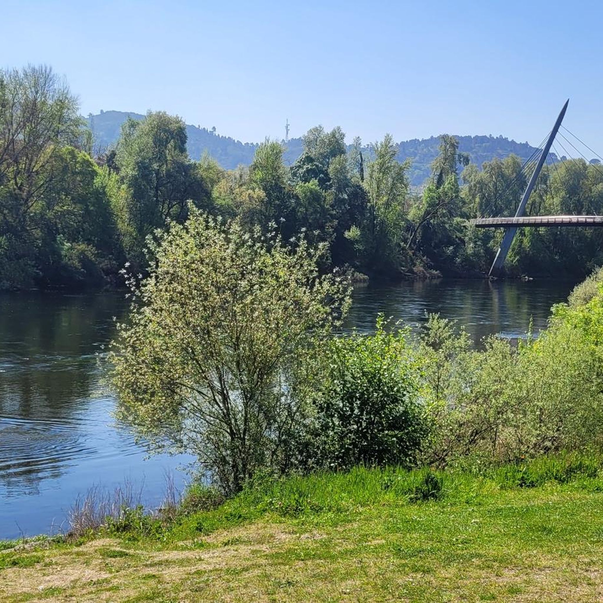
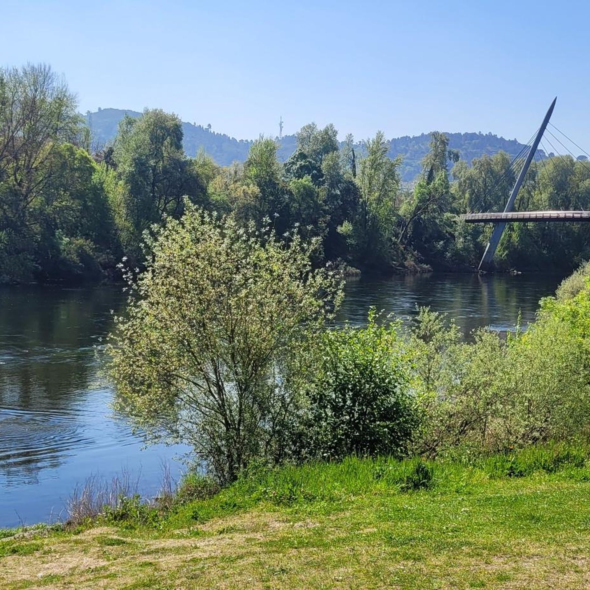
Absolutely. Many routes provide scenic views, especially those along the river or through elevated areas. For instance, the Roman Bridge Ourense – Oira Footbridge loop from Ourense offers picturesque views along the river and through urban areas.
Can I find challenging running routes with significant elevation gain near Coles?
Yes, for those seeking a more rigorous experience, there are challenging routes available. The area offers paths with significant elevation gain, such as the difficult Pozas de Outariz – Outariz Hot Springs loop from Ourense-Empalme, which covers over 10 miles with notable ascents.
Are there any running trails that pass by hot springs?
Yes, you can combine your run with a visit to natural hot springs. The Pozas de Outariz – Outariz Hot Springs loop from Ourense-Empalme is a difficult route that takes you directly to the Outariz Hot Springs, offering a unique experience.
How long do the running routes typically take to complete?
The duration of running routes varies significantly based on distance and difficulty. For example, a moderate 6.2-mile trail like the Oira Footbridge – Lonia Park loop from Ourense can be completed in about 1 hour 14 minutes, while longer, more difficult routes will take considerably more time.
Are there running routes suitable for families with children?
While specific 'family-friendly' designations are not always explicit, many of the easier and moderate routes through parkland or along flatter river paths would be suitable for families looking for a less strenuous run or walk. Look for routes with lower elevation gain and shorter distances.
What is the best time of year for running in the Coles area?
The region generally offers pleasant conditions for running for much of the year. However, spring and autumn often provide the most comfortable temperatures and beautiful scenery. Always check local weather forecasts before heading out.
Most popular attractions around Coles

Get inspired with the komoot mobile app


Explore more
Browse the best Running Trails & Routes in other regions.
