The best road cycling routes around Plagefenn
4.6
(22)
297
riders
26
rides
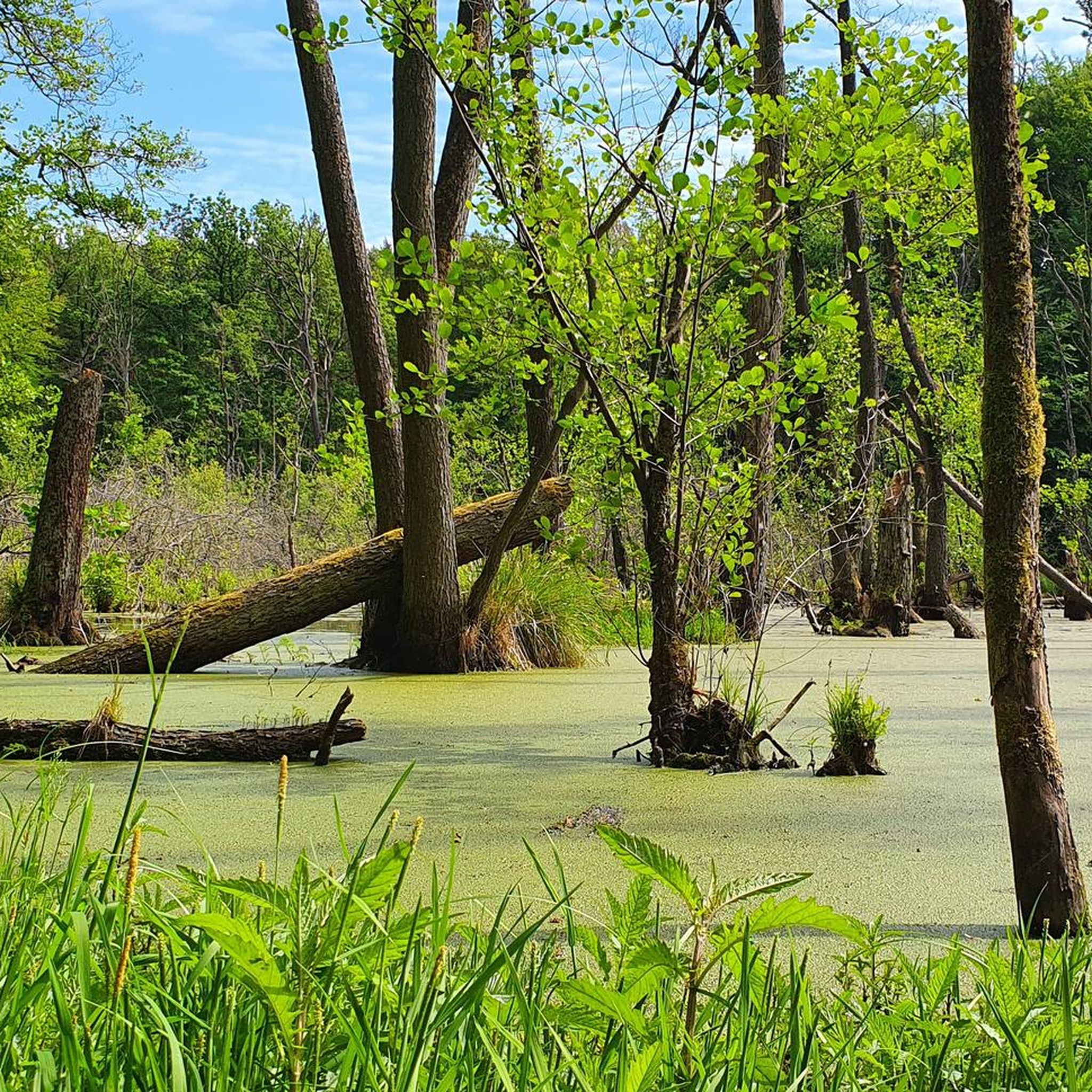
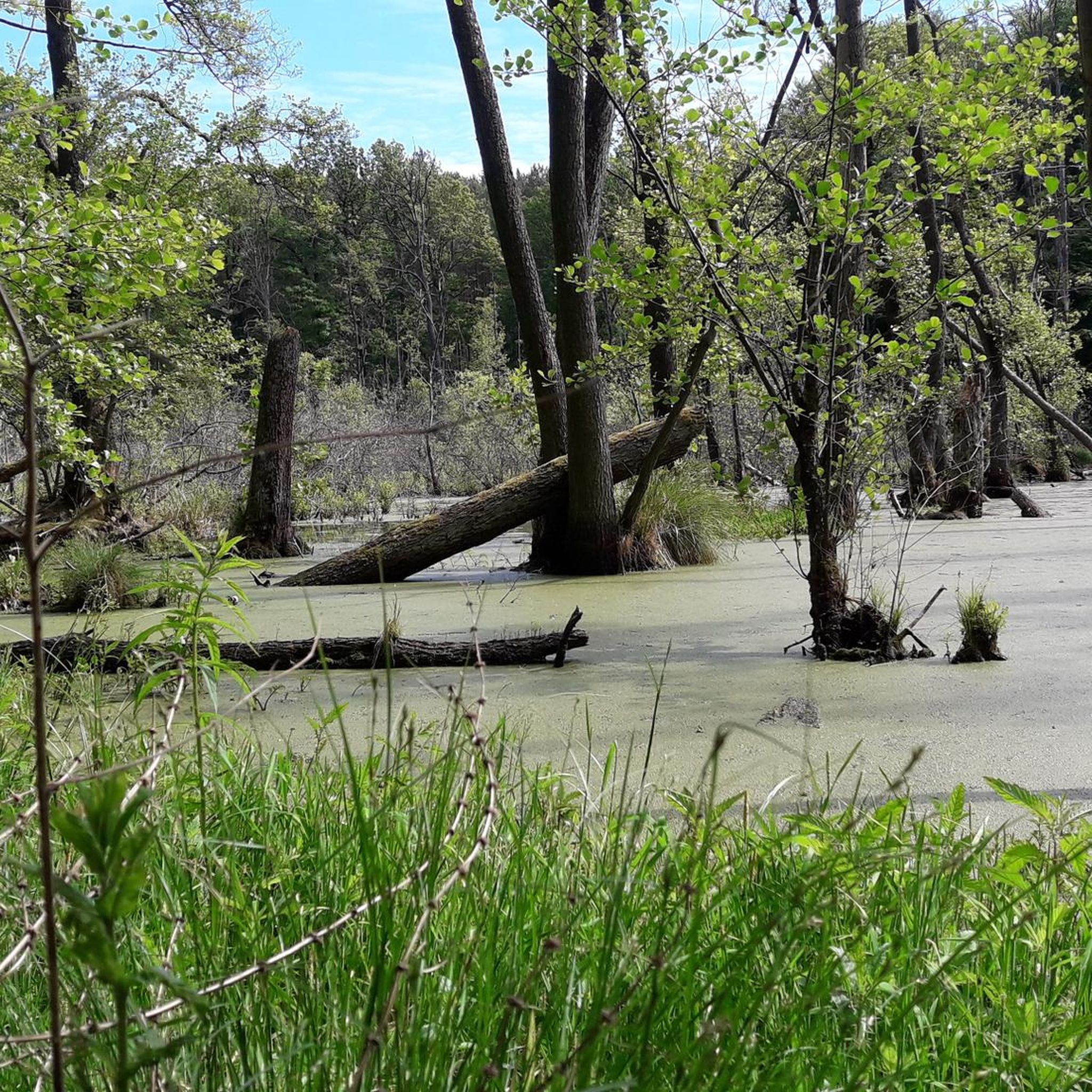
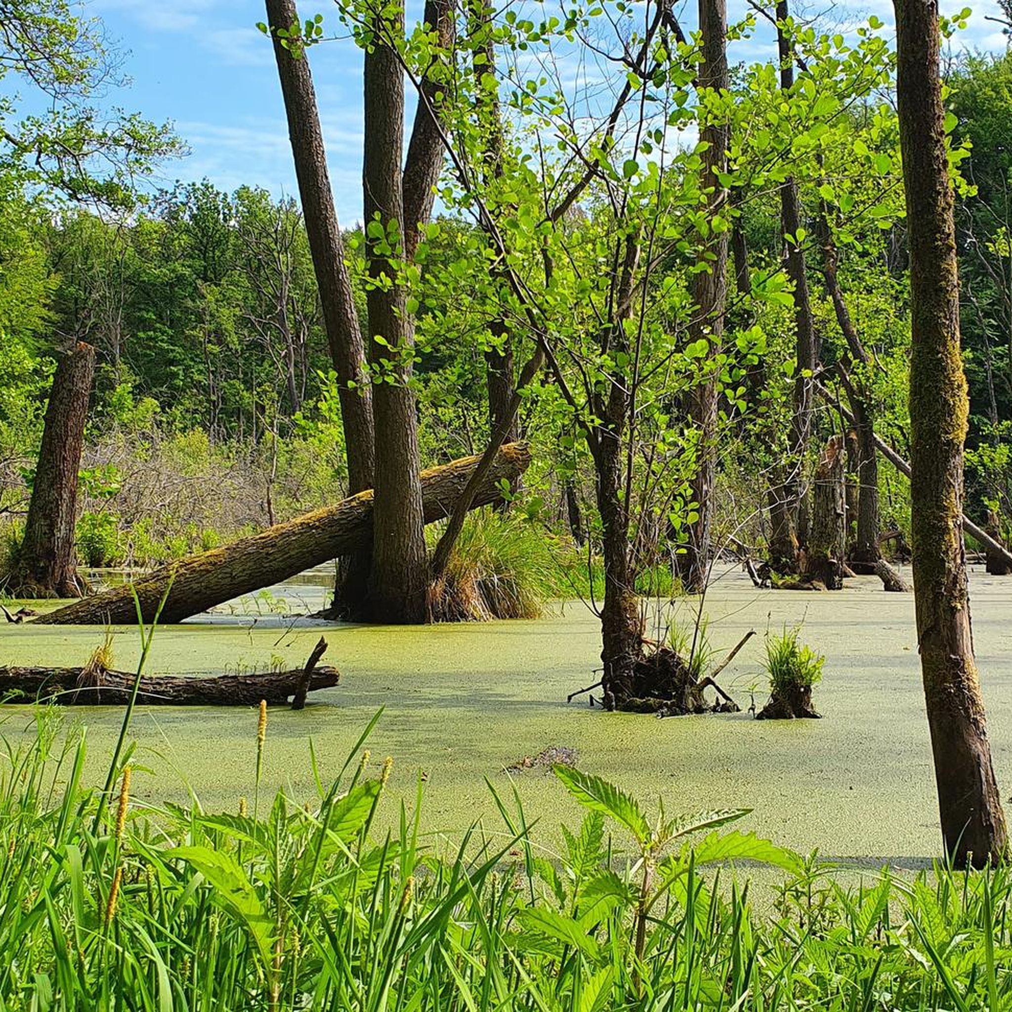
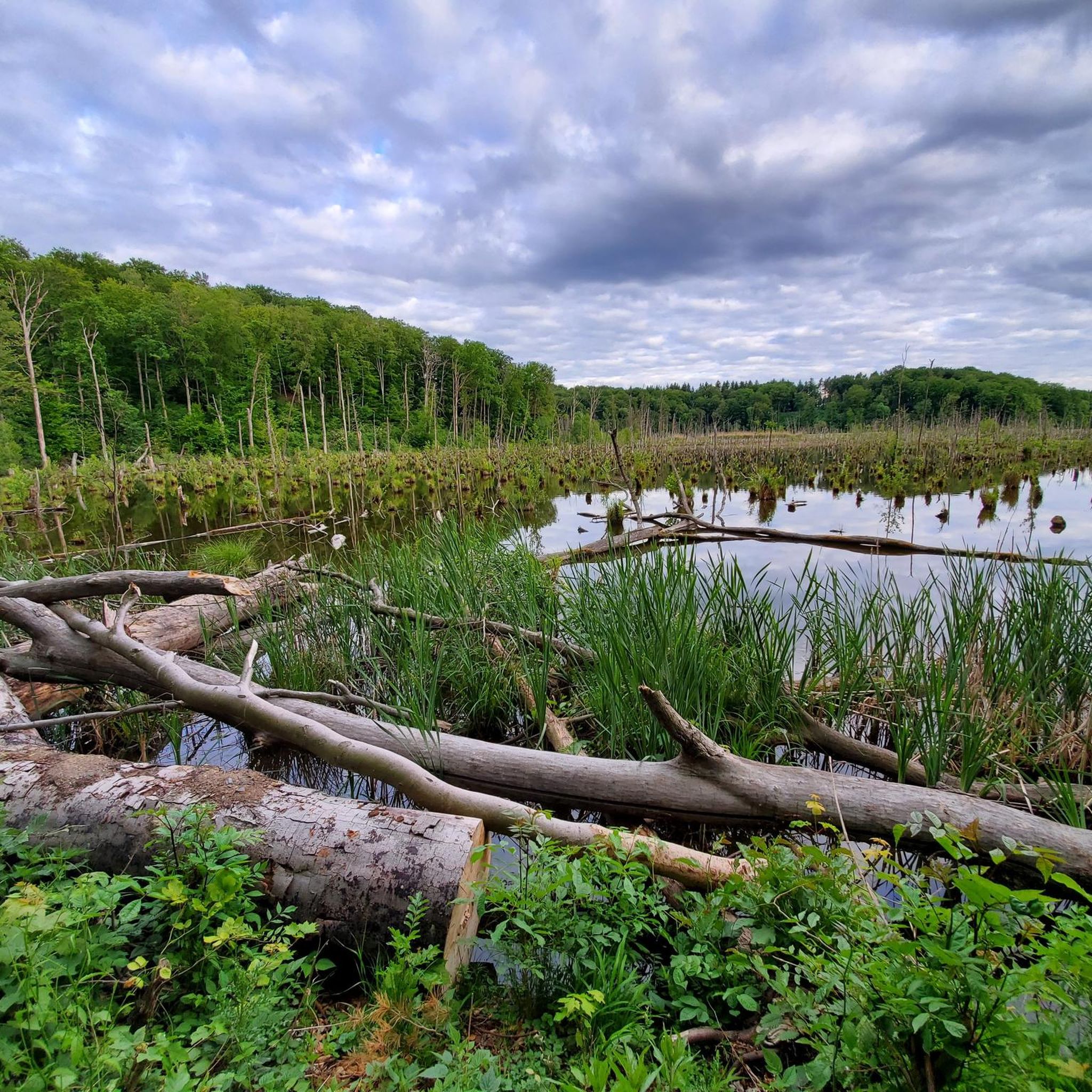
Road cycling routes around Plagefenn traverse a diverse landscape within the Schorfheide-Chorin Biosphere Reserve in Brandenburg, Germany. The region features extensive forests, moorlands, and lakes, offering a tranquil environment for cyclists. While the core Plagefenn area is a protected wilderness, the surrounding roads provide varied terrain shaped by its glacial origins. This area is known for its peaceful routes with less traffic, making it suitable for road cycling.
Best road cycling routes around Plagefenn
- The most popular road cycling route is B 84 Climb (8% Gradient) loop from Britz-Chorin-Oderberg, a 19.4 miles (31.2 km) trail that takes 1 hour 28 minutes to complete. This route features a notable 8% gradient climb.
- Another top favourite among local road cyclists is B 84 Climb (8% Gradient) – Finow Canal Drawbridge loop from Britz-Chorin-Oderberg, a moderate 16.5 miles (26.6 km) path. This route combines a challenging climb with views of the Finow Canal.
- Local road cyclists also love the Roadbike loop from Brodowin, a 57.4 miles (92.4 km) trail leading through the broader biosphere reserve, often completed in about 3 hours 52 minutes.
- Road cycling around Plagefenn is defined by its forests, moorlands, and lakes within a biosphere reserve. The network offers options for different ability levels, from moderate loops to more difficult climbs.
- The routes in Plagefenn are highly rated by the komoot community with an average score of 4.9 stars from over 19 reviews. More than 290 road cyclists have used komoot to explore Plagefenn's varied terrain.
Last updated: May 17, 2026
4
riders
Hard road ride. Great for any fitness level. You may need to push your bike for some segments of this route.
4.5
(2)
14
riders
30.2km
01:15
150m
150m
Moderate road ride. Great for any fitness level. Some segments of this route may be unpaved and difficult to ride.

Sign up for free
5.0
(2)
7
riders
45.9km
01:58
220m
220m
Moderate road ride. Great for any fitness level. Some segments of this route may be unpaved and difficult to ride.
4
riders
65.9km
02:52
400m
400m
Moderate road ride. Good fitness required. Some segments of this route may be unpaved and difficult to ride.
5
riders
64.4km
02:41
280m
280m
Moderate road ride. Good fitness required. Some segments of this route may be unpaved and difficult to ride.
Get access to more routes and recommendations from other explorers.
Sign up for free
Already have an account?
Our route recommendations are based on thousands of hikes, rides, and runs completed by other people on komoot.
Start today with a free account
Your next adventure awaits.
Login or Signup
Tips from the Community

Demanding segment in both directions. At most, the "rumble strips" on the road detract a little from the enjoyment...
0
0
Quiet, quite good surface.
0
0

Very successful cyclist's break with delicious soft ice cream!!!
2
0

Especially in the city center, many old houses and historic sights can still be found. The church (St. Nicholas, not St. Mary's) towers over the market square and bears witness to the city's loooong history. It's a great place to take a break and enjoy the hustle and bustle.
3
0

A beautiful place just before the Polish border. The town center and the church are especially worth a visit.
2
0

Beautiful route through the forest
0
0

Good surface, gentle hills 😬
0
0

Looks quite interesting from the outside.
1
0
Frequently Asked Questions
What is the typical terrain like for road cycling around Plagefenn?
Road cycling routes around Plagefenn traverse a diverse landscape within the Schorfheide-Chorin Biosphere Reserve. You'll encounter extensive forests, moorlands, and lakes, with terrain shaped by its glacial origins. The area generally offers peaceful routes with less traffic, providing a tranquil and visually engaging cycling experience.
Are there challenging climbs for road cyclists in the Plagefenn area?
Yes, for those seeking a challenge, there are routes with notable climbs. For instance, the B 84 Climb (8% Gradient) loop from Britz-Chorin-Oderberg is a difficult route featuring an 8% gradient climb. Another popular option that includes a challenging climb is the B 84 Climb (8% Gradient) – Finow Canal Drawbridge loop from Britz-Chorin-Oderberg.
Are there easy road cycling routes suitable for beginners?
While the guide highlights moderate and difficult routes, the broader network around Plagefenn does offer options for different ability levels. There are 3 easy routes available, making it possible for beginners to find suitable paths to explore the region's natural beauty.
What natural attractions can I see while road cycling near Plagefenn?
While the core Plagefenn Nature Reserve is a restricted wilderness area, the surrounding region offers many natural sights. You can experience diverse forest ecosystems, boggy depressions, and lakes. Highlights in the wider area include the Plagefenn Nature Reserve (from a distance), the Plagefenn Nature Reserve Moorland, and the Great Lieper Posse Wetland.
Are there any historical or cultural landmarks along road cycling routes?
Yes, the broader Schorfheide-Chorin Biosphere Reserve offers several points of interest. Routes can incorporate attractions like the significant historical site of Chorin Monastery, which also features an organic cafe. The nearby eco-village of Brodowin, known for its organic farm shop, can also be an interesting stop.
Can I cycle directly into the Plagefenn Nature Reserve?
The core zone of Plagefenn itself, encompassing its lakes and moors, is a strictly protected total reserve where entry is prohibited. However, the surrounding areas provide a varied and scenic backdrop for road cyclists, allowing you to experience the biosphere reserve's beauty from its periphery.
When is the best time of year for road cycling in Plagefenn?
The region's character with extensive forests and lakes suggests that spring and autumn offer particularly pleasant conditions for road cycling, with milder temperatures and beautiful scenery. Summer can also be enjoyable, though it's always wise to check local weather forecasts.
Are most road cycling routes around Plagefenn circular?
Many of the popular road cycling routes in the area are designed as loops, allowing you to start and end at the same point. Examples include the B 84 Climb (8% Gradient) loop from Britz-Chorin-Oderberg and the Roadbike loop from Brodowin.
Are there places to eat or get refreshments along the road cycling routes?
Yes, the region offers options for refreshments. Chorin Monastery, a historical site often included in routes, has an organic cafe. Additionally, the eco-village of Brodowin is known for its organic farm shop, which could serve as a stop for cyclists.
What do other road cyclists enjoy the most about road cycling in Plagefenn?
The area is highly rated by the komoot community, with an average score of 4.9 stars from over 19 reviews. Reviewers often praise the tranquil environment, the diverse landscapes of forests, moorlands, and lakes, and the peaceful routes with less traffic, making for a serene cycling experience.
How long are the road cycling routes typically around Plagefenn?
Route lengths vary to suit different preferences. You can find shorter loops like the B 84 Climb (8% Gradient) – Finow Canal Drawbridge loop from Britz-Chorin-Oderberg at 16.5 miles (26.6 km), or longer tours such as the Roadbike loop from Brodowin, which covers 57.4 miles (92.4 km).
Where can I find parking for road cycling tours in the Plagefenn area?
Starting points for many routes, such as Britz-Chorin-Oderberg and Brodowin, are likely to offer parking facilities. These locations are common access points for exploring the surrounding biosphere reserve by bike.
Most popular routes around Plagefenn
Most popular attractions around Plagefenn

Get inspired with the komoot mobile app


Explore more
Browse the best Road cycling routes in other regions.
