The 5 Most Amazing Peaks around Fuentelsaz De Soria
Mountain peaks around Fuentelsaz De Soria are situated in a region characterized by a mountainous landscape, with an average altitude of 1075 meters. The area offers elevated terrain and hiking opportunities that provide panoramic views. This part of Soria is known for its natural heritage, including extensive forests and elevated points of interest. The terrain elevation difficulty varies, providing options for different hiking experiences.
Best mountain peaks around Fuentelsaz De Soria
- The most popular mountain peaks is Peña de la…
Last updated: June 29, 2026
Peña de la Sierpe
Highlight • Summit
It is accessed by a gravel path that by bike may require some effort
Translated by Google •
Tip by

Castro Alto de la Cruz
Highlight • Historical Site
Translated by Google •
Tip by

Sign up now to discover places like this
Get recommendations on the best single tracks, peaks, & plenty of other exciting outdoor places.
Sign up for free
Alto de Las Cabezas Geodetic Point
Highlight • Viewpoint
Translated by Google •
Tip by
View from El Riscal Geodetic Vertex
Highlight • Viewpoint
Starting from the road next to it, there is a path that goes directly to the vertex.
Translated by Google •
Tip by
Start today with a free account
Your next adventure awaits.
Login or Signup
Tips from the Community

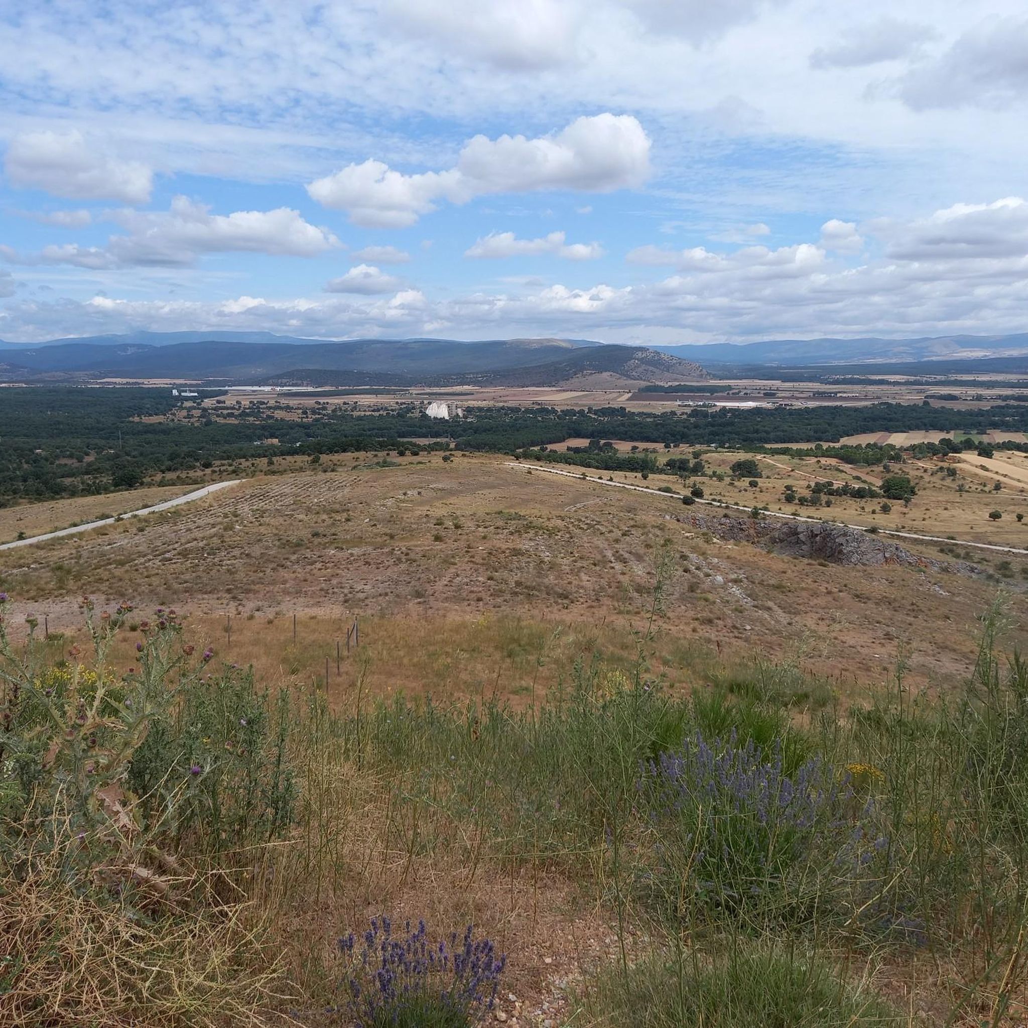
From the top of Alto de la Cruz, the beautiful views we have of the surrounding landscape stand out. At the very top, a Celtic Castro awaits us.
2
0

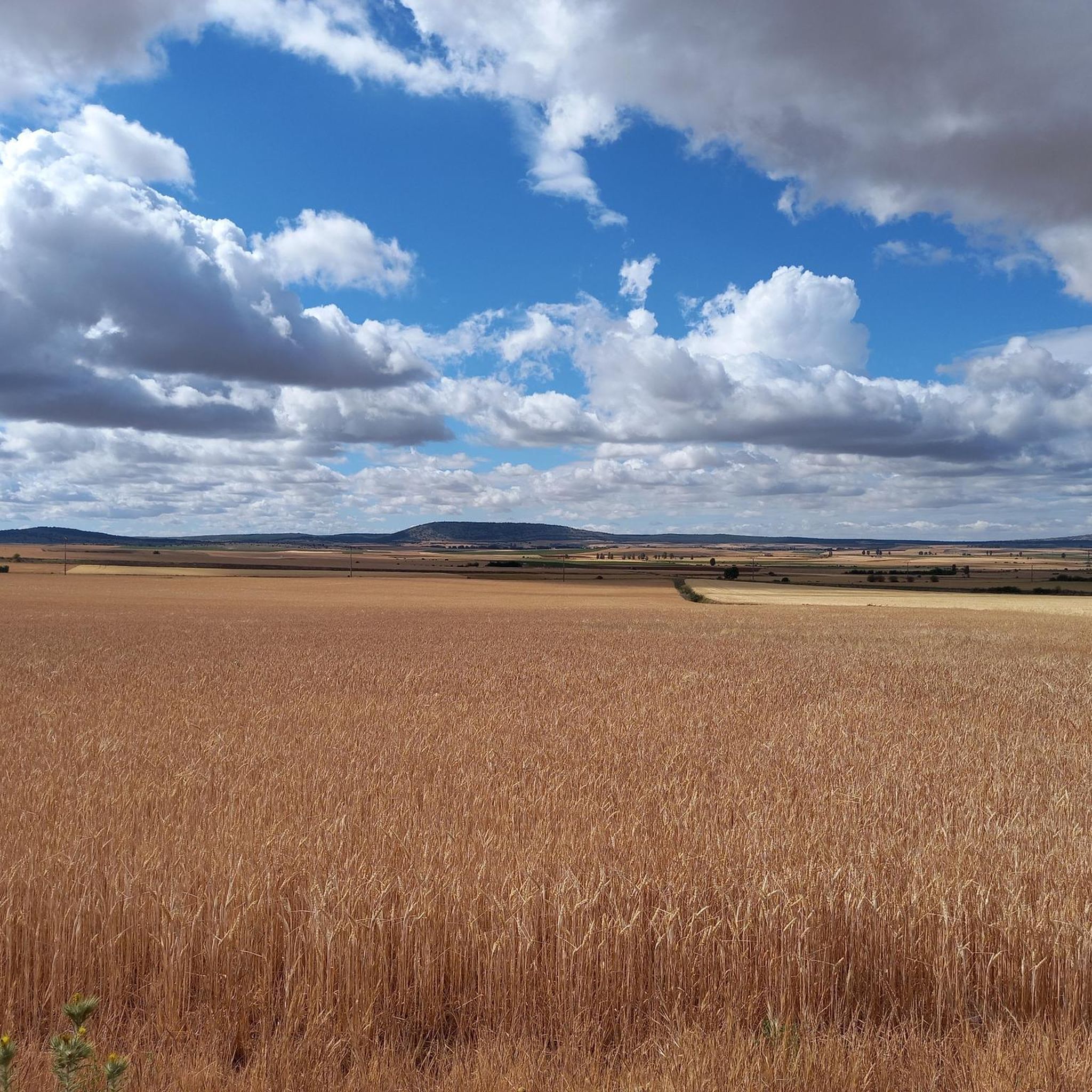
It is the highest point of Mount Valonsadero and from above you can enjoy pleasant views of the surroundings. It is accessed by a gravel path that by bike may require some effort
2
0
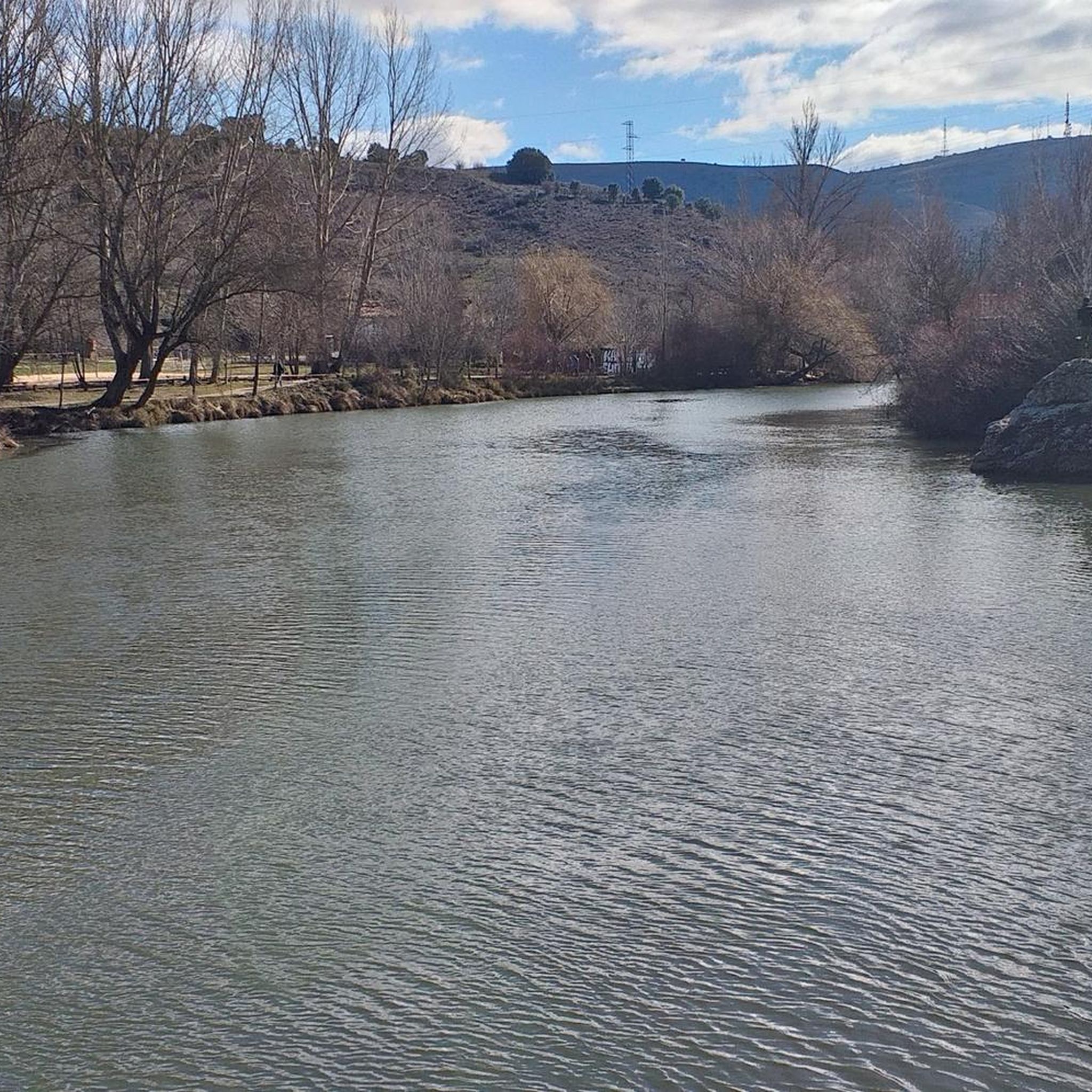
It is a geodesic vertex from which a great panoramic view of Valonsadero and surroundings can be contemplated. Starting from the road next to it, there is a path that goes directly to the vertex.
5
0
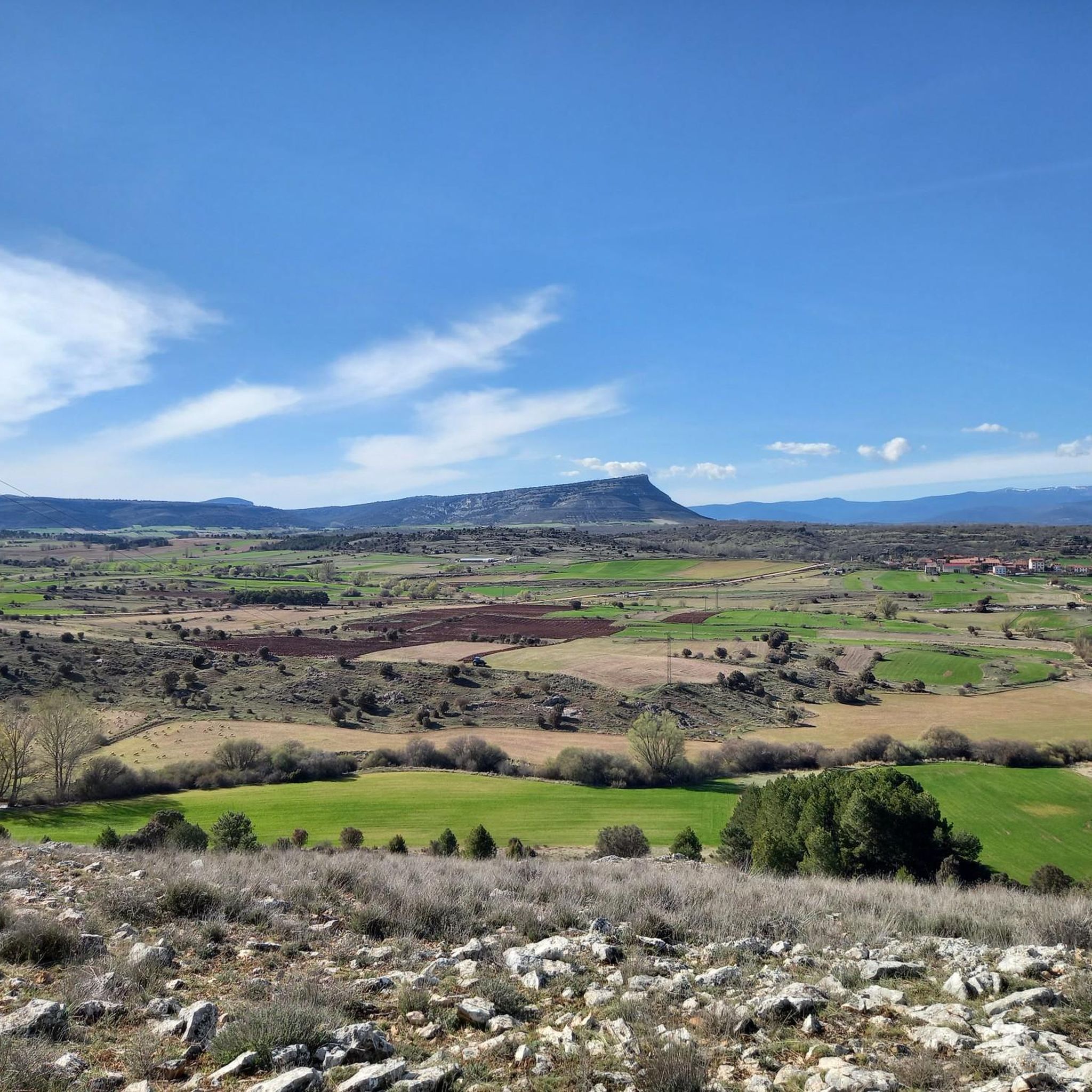
It is a small elevation of the land that, although it is not very high, has a great panoramic view, which is why it has a geodesic vertex.
4
0
Frequently Asked Questions
What are some of the most notable elevated points and peaks around Fuentelsaz De Soria?
The region offers several interesting elevated points. Peña de la Sierpe is the highest point of Mount Valonsadero, offering pleasant views. Another significant spot is the View from El Riscal Geodetic Vertex, which provides a great panoramic view of Valonsadero and its surroundings. For those interested in history, Castro Alto de la Cruz is a historical site and viewpoint featuring a Celtic Castro at its summit.
Are there any historical sites among the elevated points in Fuentelsaz De Soria?
Yes, Castro Alto de la Cruz is a notable historical site. At its very top, you can find the remains of a Celtic Castro, offering a glimpse into the region's ancient past while enjoying beautiful views of the surrounding landscape.
What kind of views can I expect from the mountain peaks and viewpoints?
From elevated points like Peña de la Sierpe and the View from El Riscal Geodetic Vertex, you can expect expansive panoramic views of Valonsadero and the surrounding natural landscape. The region's mountainous terrain, extensive forests of oak and holm oak, and general elevated character contribute to impressive vistas.
Are there hiking trails near these mountain peaks?
Yes, the area around Fuentelsaz De Soria offers various hiking opportunities. For example, the Senda del Acebal is a noteworthy 3.4-mile trail that winds through Spain's largest holly forest and provides impressive panoramic views from its elevated sections. You can find more hiking options in the Hiking around Fuentelsaz De Soria guide, including routes like the 'Castro Alto de la Cruz Loop'.
What is the terrain difficulty like for exploring the elevated areas?
The terrain elevation difficulty around Fuentelsaz De Soria varies, providing options for different hiking experiences. Many of the highlighted elevated points, such as Peña de la Sierpe and Castro Alto de la Cruz, are categorized as intermediate, suggesting they may require some effort but are generally accessible to those with moderate fitness.
Can I find family-friendly options for exploring the elevated terrain?
While specific family-friendly designations for individual peaks are not available, the varied terrain means there are likely easier sections or shorter trails suitable for families. For example, the 'Senda del Acebal Trail' mentioned in the Hiking around Fuentelsaz De Soria guide is an easy 5.5 km route, which could be a good option for families.
What kind of natural features define the mountain landscape of Fuentelsaz De Soria?
The landscape is characterized by its mountainous terrain, with an average altitude of 1075 meters. It boasts a rich natural heritage, including extensive forests of oak and holm oak. Elevated points like Alto de Las Cabezas Geodetic Point offer small elevations with great panoramic views, showcasing the region's natural beauty.
Are there opportunities for mountain biking near the peaks?
Yes, the region is suitable for mountain biking. The Cerro de San Juan, an elevated area with historical significance, is traversed by BTT (mountain bike) routes. You can explore various mountain biking trails in the MTB Trails around Fuentelsaz De Soria guide, which includes routes of varying difficulty.
What is the best time to visit Fuentelsaz De Soria for mountain activities?
The region's mountainous landscape and forests make it appealing for outdoor activities. While specific seasonal recommendations for peaks are not provided, generally, spring and autumn offer pleasant temperatures for hiking and exploring. Summers can be warm, and winters might bring colder conditions to the elevated areas.
What do komoot users appreciate most about the elevated areas in Fuentelsaz De Soria?
Komoot users appreciate the pleasant and great panoramic views from the summits and viewpoints, such as those from Peña de la Sierpe and View from El Riscal Geodetic Vertex. The combination of natural beauty and historical elements, like the Celtic Castro at Castro Alto de la Cruz, also adds to the appeal.
Are there any other cycling routes available in the area besides mountain biking?
Yes, beyond mountain biking, there are also general cycling routes available. You can find various options in the Cycling around Fuentelsaz De Soria guide, which includes routes like 'Fuentecantos and Chavaler - circular from Garray' and 'Puente del Canto – Medieval Bridge Over the Duero loop'.
Most popular routes around Fuentelsaz De Soria
Most popular attractions around Fuentelsaz De Soria

Get inspired with the komoot mobile app


Explore more
See even more amazing summits around Fuentelsaz De Soria with these guides:
