The best road cycling routes around Junta De Villalba De Losa
4.6
(25)
842
riders
57
rides
Road cycling routes around Junta De Villalba De Losa traverse a varied terrain in the eastern Valle de Losa, Burgos province. The northern areas feature mountainous landscapes with limestone outcrops and forests, while the south presents broad agricultural fields. The region is also home to the Sierra Salvada and Monte Santiago Natural Monument, characterized by a "cuesta" relief with dramatic cliffs and gentler slopes. This diverse topography provides a range of road cycling experiences.
Best road cycling routes around Junta…
Last updated: May 27, 2026
5.0
(2)
81
riders
74.1km
03:53
1,340m
1,340m
Hard road ride. Very good fitness required. Mostly well-paved surfaces and easy to ride.
5.0
(2)
80
riders
69.5km
03:38
1,260m
1,260m
Hard road ride. Very good fitness required. Mostly well-paved surfaces and easy to ride.

Sign up for free
85
riders
94.5km
04:43
1,440m
1,440m
Hard road ride. Very good fitness required. Mostly well-paved surfaces and easy to ride.
5.0
(2)
166
riders
93.9km
04:19
1,000m
1,000m
Hard road ride. Very good fitness required. Mostly well-paved surfaces and easy to ride.
4.3
(3)
29
riders
63.7km
03:06
730m
730m
Moderate road ride. Good fitness required. Some segments of this route may be unpaved and difficult to ride.
Get access to more routes and recommendations from other explorers.
Sign up for free
Already have an account?
Our route recommendations are based on thousands of hikes, rides, and runs completed by other people on komoot.
Start today with a free account
Your next adventure awaits.
Login or Signup
Popular around Junta De Villalba De Losa
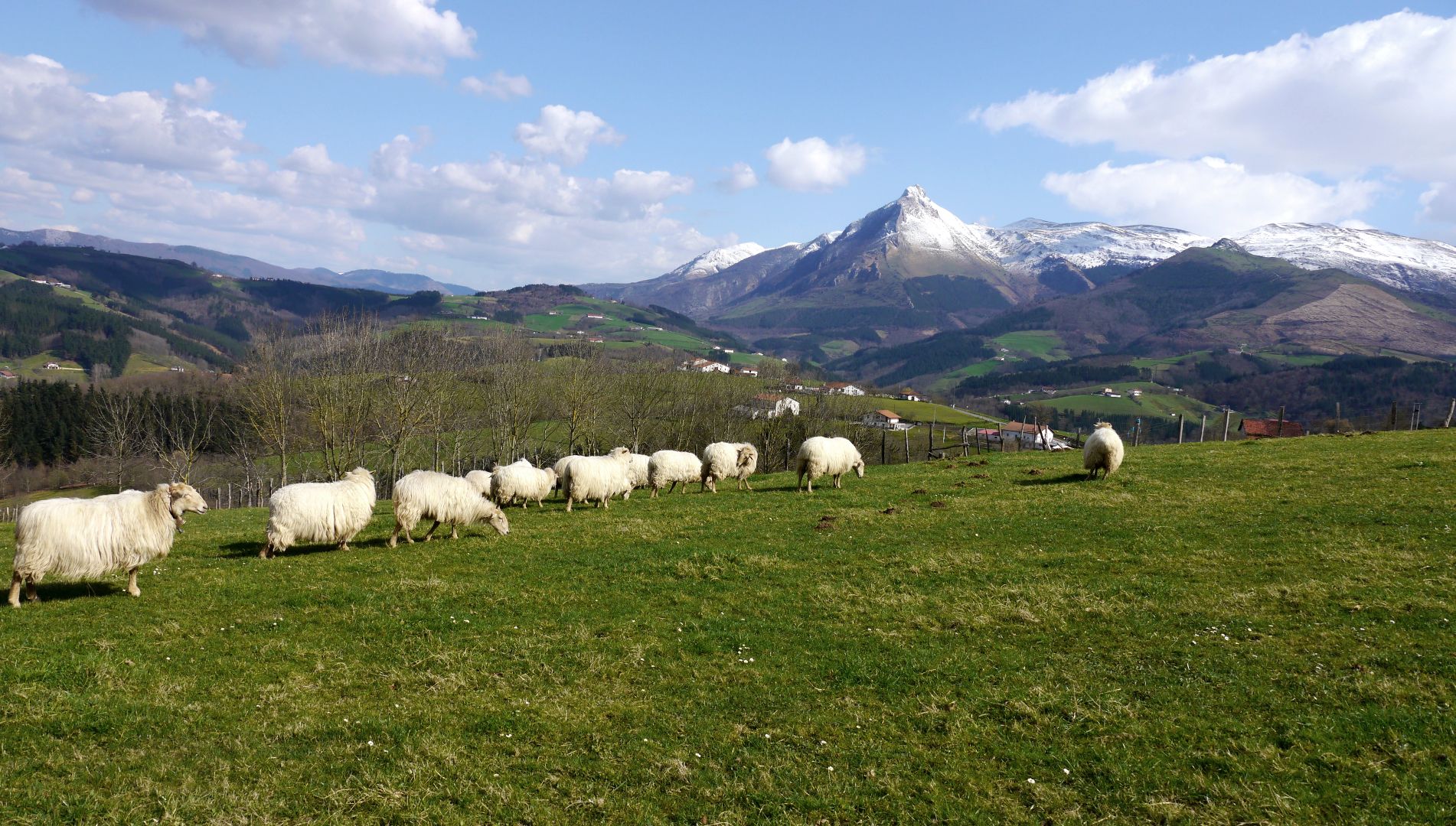
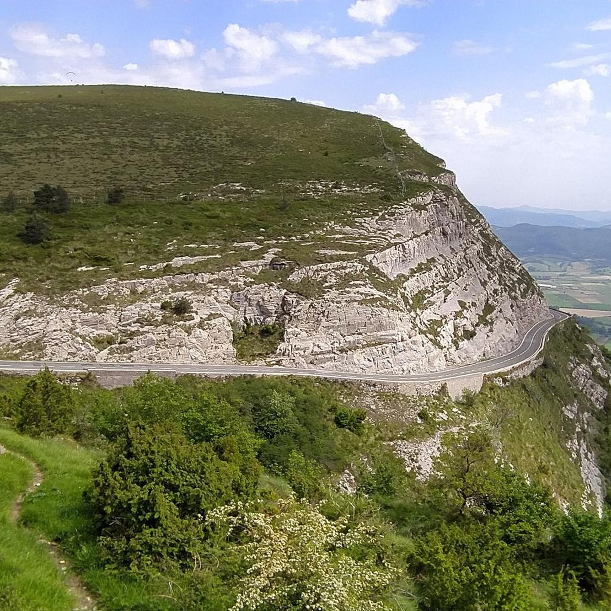
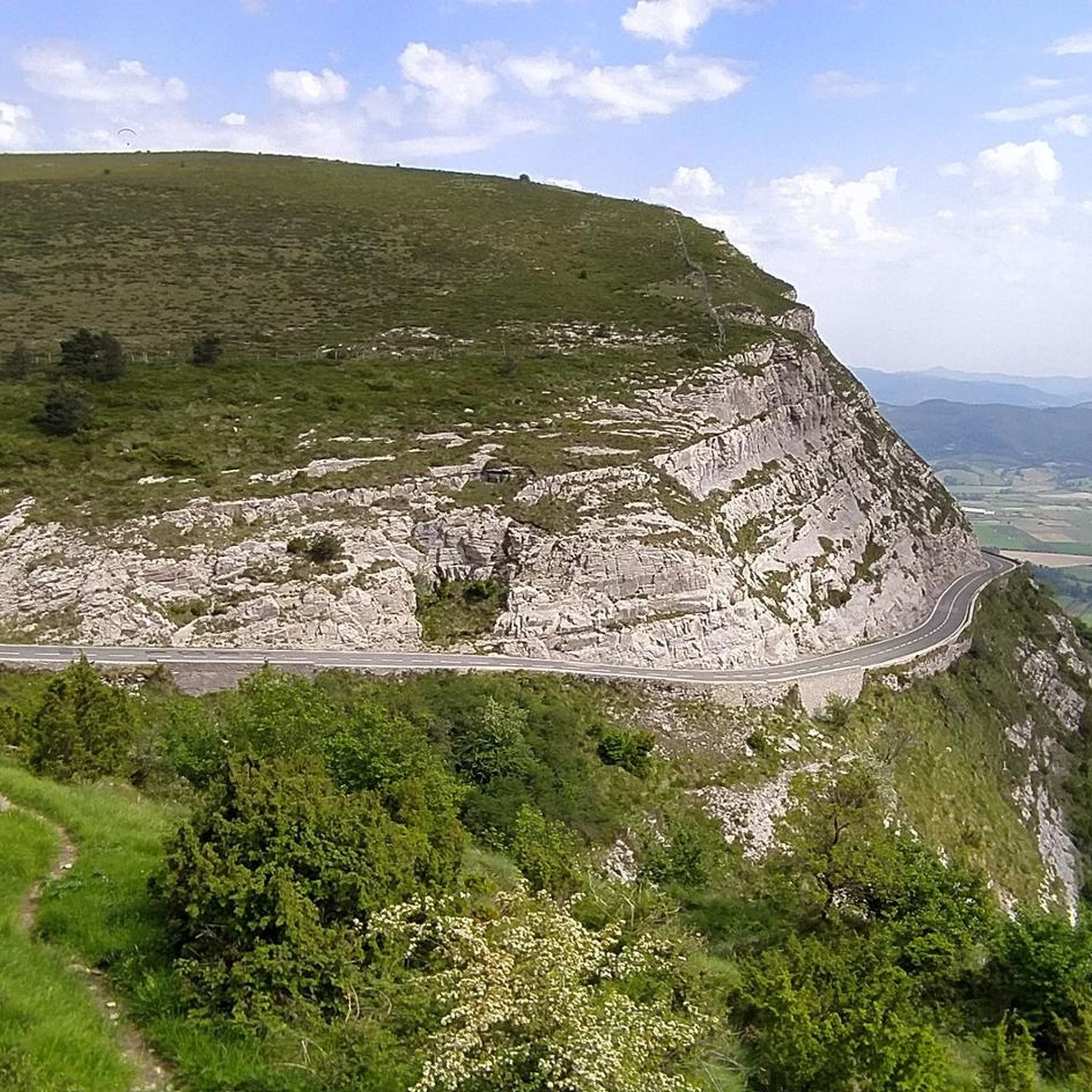
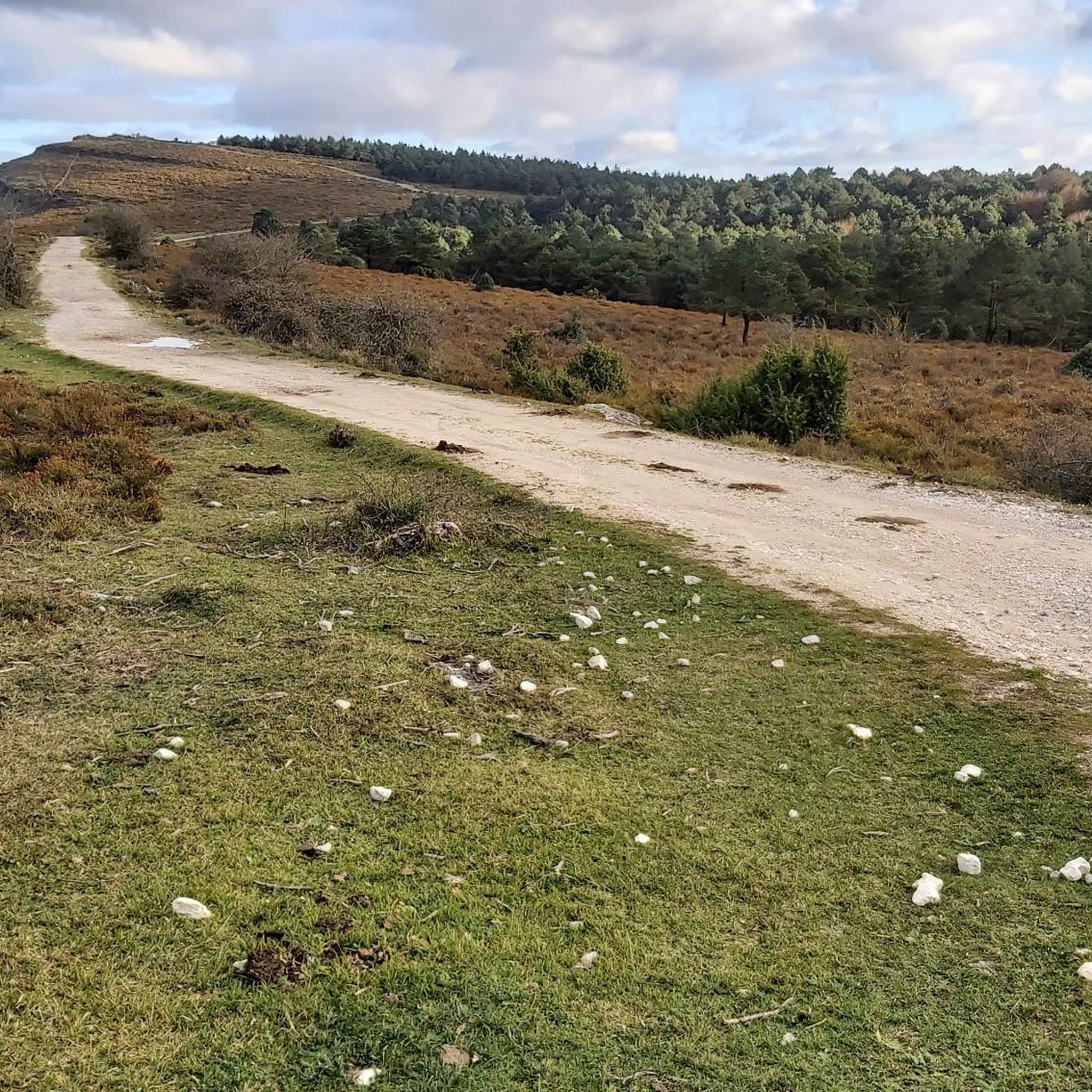

Other adventures around Junta De Villalba De Losa

Tips from the Community

During the week you can go up and down without encountering any cars; the road is in good condition and very quiet.
0
0

Amurrio was traditionally known as "El Crucero," a meeting point for routes between Castile and the Cantabrian ports. In the town center, the Ugarte Tower House (18th century), now the Cultural Center, the San Antón de Armuru Chapel (16th century), and the Church of Santa María with its 25-bell carillon, one of the largest in the Basque Country, stand out.
0
0

Mikel Landa's training ground. The climb to La Barrerilla from Orduña is beautiful, offering a natural view of the Orduña Valley.
0
0

Good starting point for several routes.
0
0
On the dividing line between Araba and Burgos.
2
0

Excellent description at: https://www.altimetrias.net/aspbk/verPuerto.asp?id=595
0
0

Some fantastic views of the valley floor and mountain in the background, small car park so take some photos enjoy the view for 10 or 15 mins then go
0
0

The municipality of Orozko is made up of eleven valleys located on the limits of the Gorbea natural park. Surrounded by green meadows and lush forests, the town of Orozko exudes a rural atmosphere, closely linked to livestock and farm work.
0
0
Frequently Asked Questions
What kind of terrain can I expect on road cycling routes in Junta De Villalba De Losa?
The region offers a varied terrain for road cycling. To the north, you'll find mountainous landscapes with frequent limestone outcrops and forests. To the south, broad agricultural fields dominate. This diversity provides options ranging from challenging climbs to rides through open plains.
Are there challenging road cycling routes with significant elevation gain?
Yes, Junta De Villalba De Losa is known for its challenging routes. For instance, the Puerto de Orduña – Alto de Peña Angulo loop from Orduña is a difficult 95.5 km path with over 1400 meters of elevation gain. Another demanding option is the Orduña and La Barrerilla Passes Loop, covering 74.1 km with over 1300 meters of ascent.
Are there easier road cycling routes available for beginners or families?
While many routes are challenging, there are easier options. The Fountain in Orduña – Orduña Historic Town Center loop from Orduña is an easy 36.8 km route with less elevation, making it suitable for those looking for a more relaxed ride. Overall, there are 5 easy routes available in the area.
What natural landmarks or viewpoints can I see while road cycling in the area?
The region is rich in natural beauty. You can encounter the impressive Sierra Salvada and Monte Santiago Natural Monument, known for its dramatic cliffs. Cyclists can also find highlights such as the Views of Pico del Fraile or the Viewpoint over the Horses' Pool. The area's karst landscape also features numerous caves and sinkholes.
Are there any waterfalls accessible or visible from road cycling routes?
Yes, the region is home to notable waterfalls. The impressive Nervión Waterfall (Salto del Nervión) is a significant natural attraction within the Sierra Salvada and Monte Santiago Natural Monument. You might also find the Gujuli Waterfall Viewpoint along some routes.
When is the best time of year for road cycling in Junta De Villalba De Losa?
Given the varied terrain, spring and autumn generally offer the most pleasant conditions for road cycling in Junta De Villalba De Losa, with milder temperatures and beautiful scenery. Summer can be warm, especially in the agricultural plains, while winter might bring colder temperatures and potentially snow in the mountainous areas.
What do other road cyclists enjoy the most about road cycling in Junta De Villalba De Losa?
The area is highly rated by the komoot community, with an average score of 4.4 stars from over 20 reviews. Cyclists often praise the diverse landscape, offering both challenging climbs and scenic rides through quiet roads, as well as the natural beauty of the Sierra Salvada and Monte Santiago.
Are there any circular road cycling routes in Junta De Villalba De Losa?
Many of the popular routes in the region are circular, allowing you to start and end in the same location. Examples include the Orduña Historic Town Center – Maroño Reservoir loop from Artomaña and the Orduña and La Barrerilla Passes Loop.
How many road cycling routes are available in the Junta De Villalba De Losa area?
There are over 45 road cycling routes available around Junta De Villalba De Losa, catering to various skill levels. This includes 5 easy routes, 28 moderate routes, and 13 difficult routes, ensuring options for every cyclist.
What is the typical duration for road cycling routes in this region?
Route durations vary significantly based on distance and difficulty. For example, an easy route like the Fountain in Orduña – Orduña Historic Town Center loop from Orduña can be completed in about 1 hour 40 minutes, while more challenging routes such as the Puerto de Orduña – Alto de Peña Angulo loop from Orduña can take over 4 hours 45 minutes.
Are there any specific areas where the native Losino horse can be seen?
Yes, the northern parts of the region, characterized by mountainous terrain and forests, are interspersed with extensive fields where the native Losino horse grazes. Cycling through these areas might offer a chance to observe these unique animals in their natural habitat.
Most popular routes around Junta De Villalba De Losa
Most popular attractions around Junta De Villalba De Losa

Get inspired with the komoot mobile app


Explore more
Browse the best Road cycling routes in other regions.
