The best running trails around El Berrueco
4.5
(6)
1,093
runners
79
runs
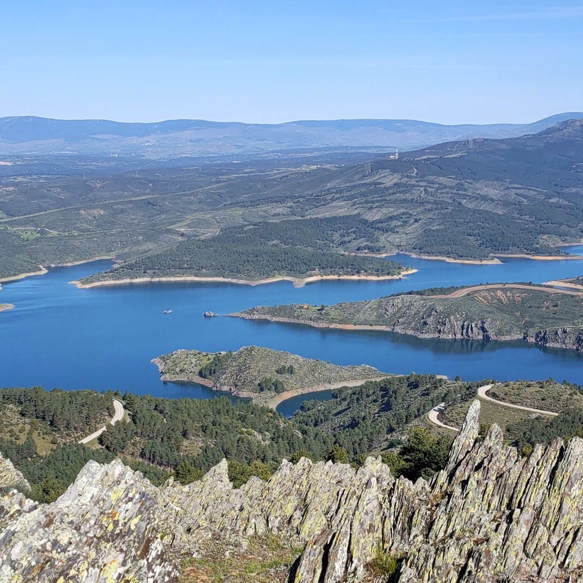
Jogging around El Berrueco, located in the Sierra Norte of Madrid, offers diverse landscapes and natural features for runners. The region is characterized by the expansive El Atazar reservoir, providing numerous routes along its shores, and distinctive granitic landscapes with unique rock formations. Forests, streams like the Jóbalo, and varied vegetation including holm oaks and aromatic plants contribute to a refreshing environment for running.
Best jogging routes around El Berrueco
- The most popular jogging route is El Berrueco – Cancho…
Last updated: May 20, 2026
37
runners
15.6km
02:14
600m
600m
Hard run. Very good fitness required. Sure-footedness, sturdy shoes and alpine experience required.
19
runners
26.6km
03:41
920m
920m
Hard run. Very good fitness required. Sure-footedness, sturdy shoes and alpine experience required.

Sign up for free
9
runners
16.3km
02:49
760m
760m
Hard run. Very good fitness required. Sure-footedness, sturdy shoes and alpine experience required.
7
runners
5.20km
00:38
80m
80m
Moderate run. Good fitness required. Mostly paved surfaces. Suitable for all skill levels.
3.0
(1)
6
runners
11.2km
01:14
150m
150m
Moderate run. Good fitness required. Mostly paved surfaces. Suitable for all skill levels.
Get access to more routes and recommendations from other explorers.
Sign up for free
Already have an account?
Our route recommendations are based on thousands of hikes, rides, and runs completed by other people on komoot.
Start today with a free account
Your next adventure awaits.
Login or Signup

Other adventures around El Berrueco

Tips from the Community

I never tire of going up to see the views
0
0
tremendous descent, super technical and with a great slope
0
0
a spectacular viewpoint to see the entire rope
0
0

In the Middle Ages, the inhabitants of Bustarviejo had to pay a “toll” of half a bushel to use this pass to carry grain to be ground at the water mills in the Lozoya Valley. Hence the name of this pass. From the pass we can see the Carpetanos Mountains of Somosierra, part of the Lozoya Valley and the entire Sierra Norte of Madrid.
1
0
A hill that separates the Sierra de la Cabrera from the Sierra de Canencia
0
0

Spectacular views, generally good climb with some demanding sections before crossing the firebreak. the rest, quite bearable
1
0
Frequently Asked Questions
How many running routes are available around El Berrueco?
There are over 85 running routes in the El Berrueco area, offering a wide variety of options for all skill levels. These include 5 easy routes, 29 moderate routes, and 51 difficult routes for more experienced runners.
Are there any easy or beginner-friendly jogging paths in El Berrueco?
Yes, El Berrueco offers several easy jogging paths. For a pleasant, moderate experience, consider the El Berrueco – El Berrueco loop from El Berrueco, which is 11.2 km long. The region also has 5 routes specifically classified as easy, often found along the El Atazar Reservoir or through the Dehesa Boyal.
What kind of terrain can I expect on the running trails in El Berrueco?
The running trails in El Berrueco feature diverse terrain. You'll find paths along the shores of the El Atazar Reservoir, through distinctive granitic landscapes with unique rock formations, and within forests and along streams like the Jóbalo. The area offers a mix of natural surfaces, from well-maintained trails to more rugged paths, especially on routes ascending to summits.
Are there any circular jogging routes in El Berrueco?
Yes, many of the running routes in El Berrueco are circular. A popular moderate option is the El Berrueco – El Berrueco loop from El Berrueco, which is 11.2 km. For a more challenging circular run with panoramic views, consider the El Berrueco – Cancho de la Cabeza Summit loop from El Berrueco, a 21.5 km difficult trail.
What natural features or landmarks can I see while running in El Berrueco?
El Berrueco's routes offer stunning natural features and historical landmarks. You can run along the expansive El Atazar Reservoir, explore unique granitic landscapes with 'berrocales' and 'piedras caballeras', and pass through forests and along streams. Notable viewpoints include the Cancho de la Cabeza Summit, offering 360º views, and the historic Roman Bridge over the Jóbalo stream.
Is El Berrueco suitable for family-friendly jogging or running with children?
Yes, El Berrueco has options suitable for families. While specific family-friendly routes are not detailed, the presence of 5 easy routes and well-marked paths like the Senda del Puente Romano or Senda de la Almenara (around the reservoir) suggests there are gentler options. These trails offer a pleasant experience through nature without excessive difficulty, ideal for a family outing.
Can I bring my dog on the running trails in El Berrueco?
Generally, the natural trails in El Berrueco are dog-friendly, allowing you to enjoy a run with your canine companion. It's always recommended to keep dogs on a leash, especially in areas with wildlife or near livestock, and to respect local regulations. The less crowded environment of El Berrueco makes it a pleasant place for dog owners.
What is the best time of year for jogging in El Berrueco?
El Berrueco offers good running conditions for much of the year. Spring and autumn provide pleasant temperatures and vibrant scenery, with blooming plants or colorful foliage. Summer mornings and evenings are also popular to avoid the midday heat. While winter can be cooler, the region's trails remain accessible, offering a different, tranquil experience.
Are there any specific parking areas for accessing the jogging routes in El Berrueco?
While specific parking areas for each route are not listed, El Berrueco is a well-known outdoor destination. You can typically find parking within the town itself or at designated trailheads, especially for popular routes like those leading to the El Atazar Reservoir or the Cancho de la Cabeza Summit. It's advisable to check local signage upon arrival.
How can I reach the jogging routes in El Berrueco using public transport?
El Berrueco is accessible by public transport, primarily through bus services connecting it to Madrid and other towns in the Sierra Norte. Once in El Berrueco, many trails, including those around the reservoir and leading to local landmarks, are within walking distance from the town center, making them convenient to access without a car.
What do other runners enjoy most about jogging in El Berrueco?
The running routes in El Berrueco are highly rated by the komoot community, with an average score of 4.4 stars from 5 reviews. Runners often praise the diverse landscapes, from the stunning views of the El Atazar Reservoir to the unique granitic formations and peaceful forests. The less crowded environment and well-maintained paths also contribute to a refreshing and enjoyable running experience.
Are there any long-distance running options or challenging trails in the area?
Yes, El Berrueco offers several challenging and longer-distance running options. For instance, the El Berrueco – Cancho de la Cabeza Summit loop from El Berrueco is a difficult 21.5 km trail with significant elevation gain. Another demanding route is the Patones de Arriba – Cancho de la Cabeza Summit loop from El Berrueco, spanning 26.7 km through varied terrain.
Most popular routes around El Berrueco
Most popular attractions around El Berrueco

Get inspired with the komoot mobile app


Explore more
Browse the best Running Trails & Routes in other regions.
