The best walks and hikes around Valdaracete
4.8
(15)
77
hikers
27
hikes
Hiking around Valdaracete offers access to diverse landscapes within the Community of Madrid. The region is characterized by the fertile Tajuña River valley, which contrasts with surrounding dry slopes. It features extensive greenways, including the Tajuña Greenway and the Tren de los 40 Días Greenway, traversing cultivated fields of olive groves and cereals. These paths provide relatively flat and accessible routes for outdoor activities.
Best hiking trails around Valdaracete
- The most popular hiking route is Puente del Tajuña – Tajuña…
Last updated: July 11, 2026
5.0
(2)
8
hikers
12.5km
03:32
250m
250m
Moderate hike. Good fitness required. Easily-accessible paths. Suitable for all skill levels.
5.0
(1)
7
hikers
11.8km
03:02
50m
50m
Moderate hike. Good fitness required. Easily-accessible paths. Suitable for all skill levels.

Sign up for free
5.0
(1)
8
hikers
11.2km
02:54
70m
70m
Moderate hike. Good fitness required. Easily-accessible paths. Suitable for all skill levels.
5.0
(2)
7
hikers
7.89km
02:17
180m
180m
Moderate hike. Good fitness required. Easily-accessible paths. Suitable for all skill levels.
4
hikers
5.64km
01:36
120m
120m
Easy hike. Great for any fitness level. Easily-accessible paths. Suitable for all skill levels.
Get access to more routes and recommendations from other explorers.
Sign up for free
Already have an account?
Our route recommendations are based on thousands of hikes, rides, and runs completed by other people on komoot.
Start today with a free account
Your next adventure awaits.
Login or Signup

Tips from the Community

The landscapes from Ambite to Mondejar are worth seeing.
0
0

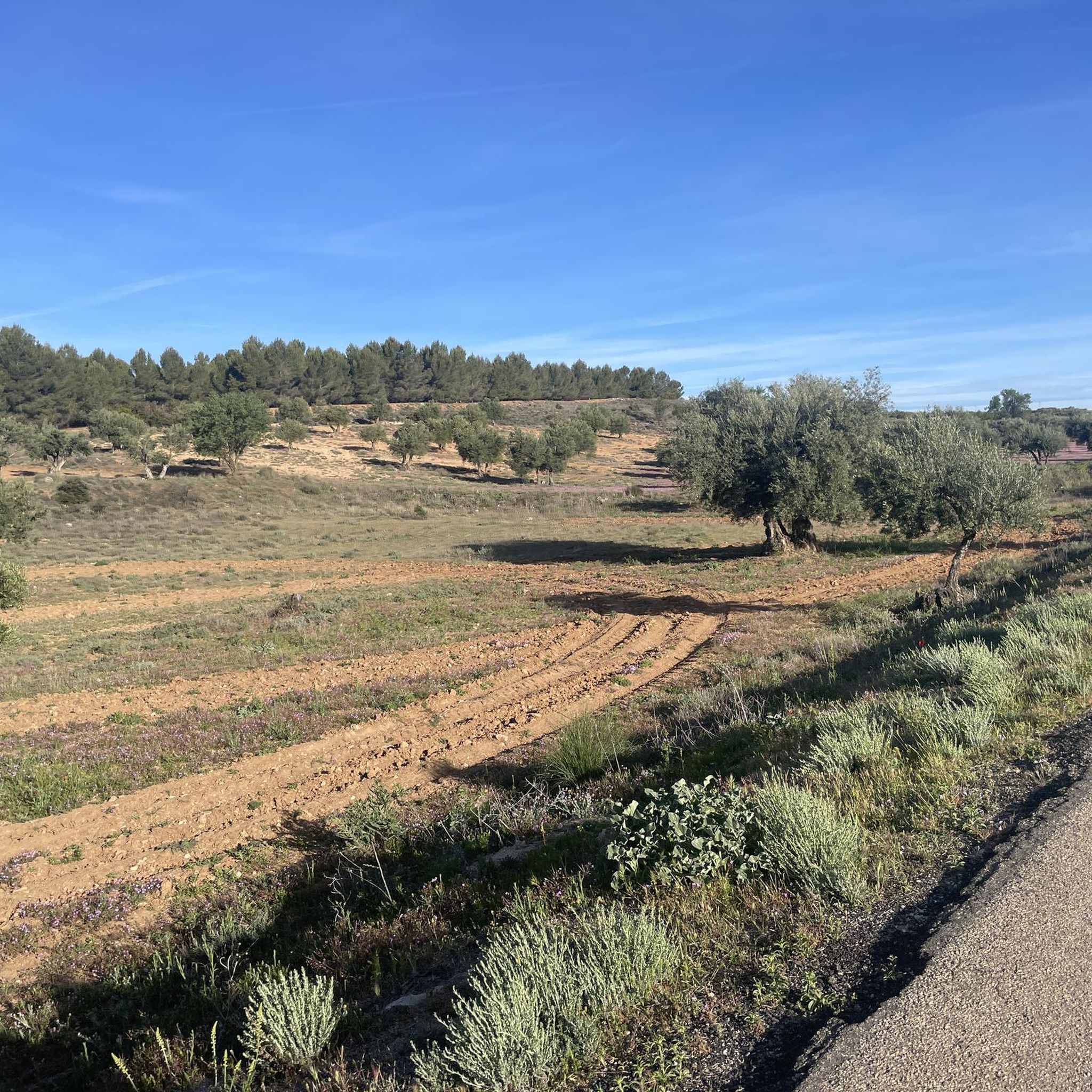
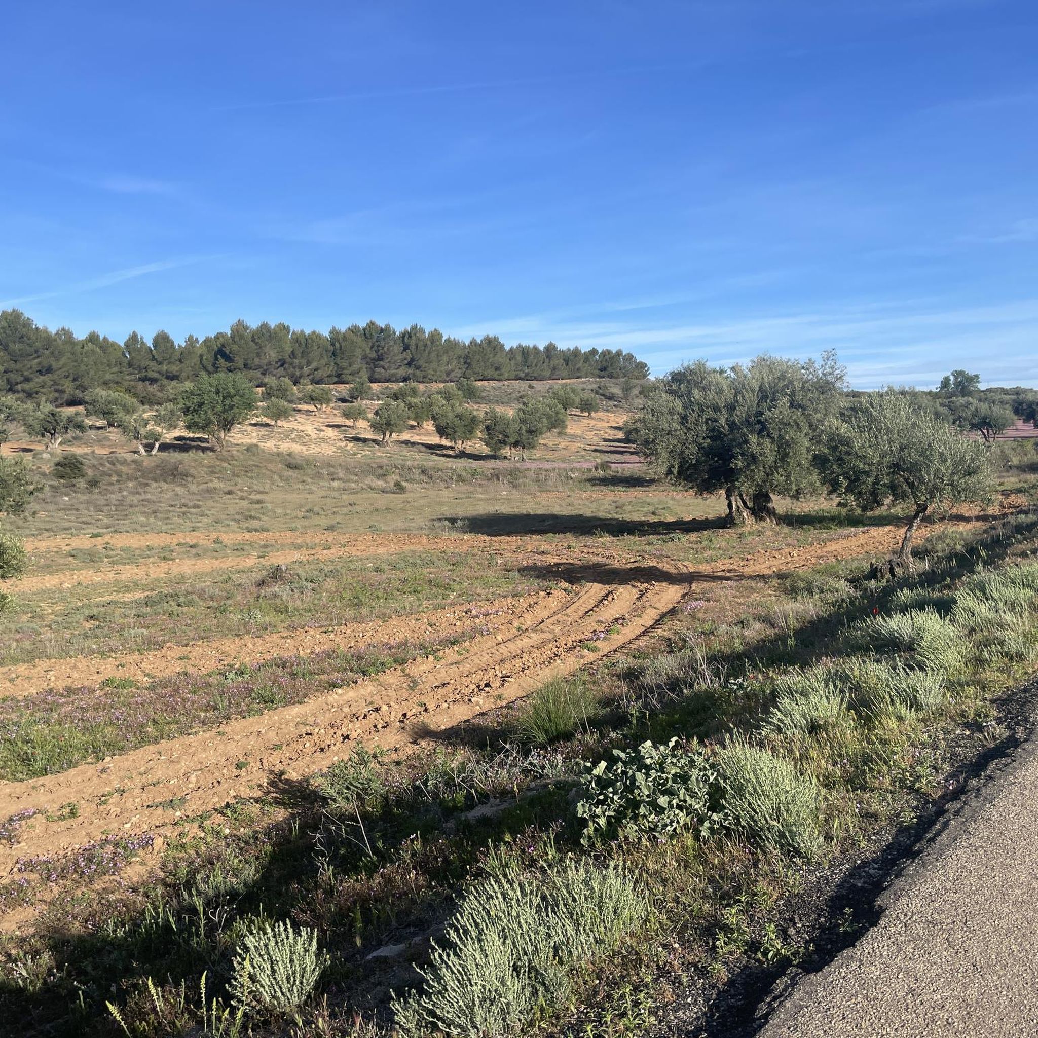
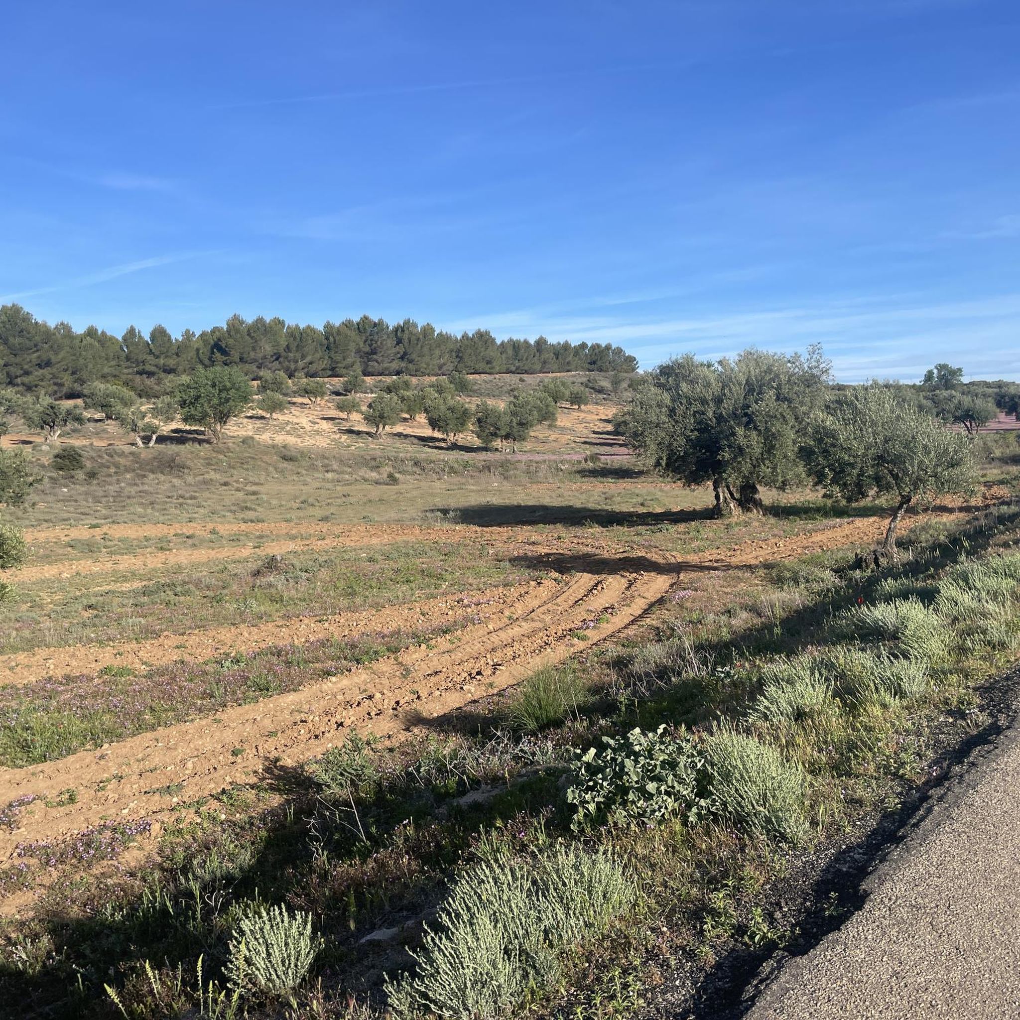
The Las Aguaderas viewpoint is located at a crossroads, taking advantage of a rise in the terrain. It features a pergola, a bench, and an interpretive panel dedicated to the "Las Aguaderas Area," a new section focusing on local customs linked to water and agriculture. The trail turns right and climbs the farm track that descends from the plateau. The initial steep section is impressive, but the climb only lasts a few minutes. The track reaches the edge of the plateau and continues through olive groves, holm oaks, and barren hills to the Camino de los Moledores (Wheelers' Path). The hiking route turns left, and now a steep descent to the valley floor begins.
0
0
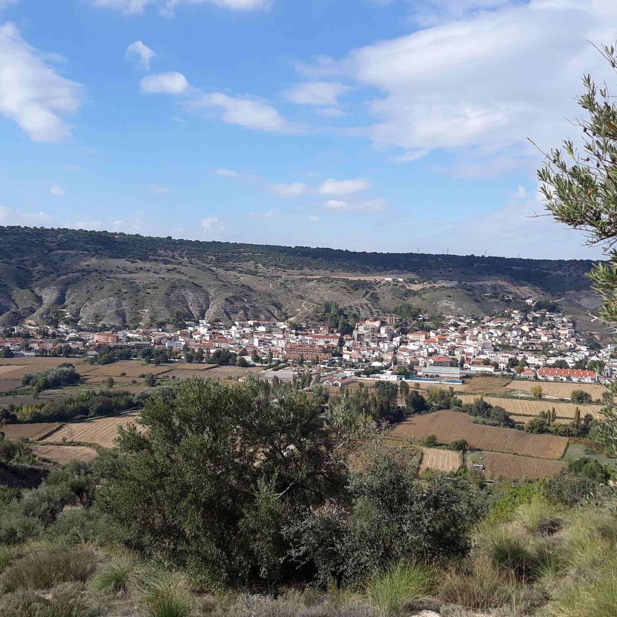
The walk along the hillside is fantastic, a true flight over the meadows, villages, and rural landscapes of the Tajuña River valley. The path runs along the mountainside and passes by the Fuente del Arce (Maple Spring), another of Tielmes' historic springs. It's located at the bottom of a ravine, with a stone wall and a spout with a small basin that is usually dry in summer. Nearby is the Fuente del Sacristán (Sacristan's Spring), somewhat hidden. Shortly after, the bench at the Mirador Vega del Tajuña (Tajuña Valley Viewpoint) appears in a clearing along the path, offering views of Tielmes, the meadow, and the hamlet of Valdilecha at the bottom of the Vega stream valley. The trail continues along the same path and begins the descent to the next viewpoint.
0
0
The sign marking the start of the Tielmes Viewpoints Route is at the junction of the San Isidro Hermitage and the Tajuña Greenway. The first kilometer of the climb is quite steep along a well-maintained rural track. The first viewpoint is nearby; it's called the "Most Beautiful Bench," and it features an interpretive lectern and a bench with the words "Tielmes Is Heart" emblazoned on the back. It faces the town of Tielmes and the Tajuña River valley, making for a pleasant stop after the initial climb. The viewpoint's information panel offers a description of the views entitled "A Landscape Shaped by Water," providing an introduction to the culture of water, the fertile plains, and the orchards of the Las Vegas region of Madrid. The route continues uphill along the Camino del Llano de las Cabras (Goat Plain Path), offering spectacular panoramic views. At the edge of the plateau, at the top of the steep climb, the main path continues straight ahead, while the Viewpoints Route veers off to the left.
0
0

Located in the middle of a very steep slope with low-grip gravel, you can stop to admire the scenery and reflect on life in general...
0
0
The Pinar del Parque Forestal de Carabaña is a large forest of Aleppo pine on the slopes of the Huevo Rodado ravine, an essential forest lung in the Tajuña river basin and a pleasant space for walking and recreation for the inhabitants of Carabaña.
0
0
Perales de Tajuña is strategically located in the Tajuña valley, a passage for ancient Roman roads, pastoral paths and medieval paths that have attracted the interest of all the cultures that have inhabited the southeast of the province of Madrid since the Iberians. The Romans and the Arabs were the main creators of the network of dams and weirs that are still essential in the distribution of irrigation water in the Tajuña orchards. The town has streets that maintain the medieval layout on the side of the valley, they are narrow, stepped and steep, connected by ramps and steps. In the Plaza de la Constitución is the Town Hall, built in the time of Charles III in the old Council House. And nearby is the monumental Baroque style Mariblanca Fountain, called the Ball Game by the local population.
0
0
Perales de Tajuña is strategically located in the Tajuña valley, a passage for ancient Roman roads, pastoral paths and medieval paths that have attracted the interest of all the cultures that have inhabited the southeast of the province of Madrid since the Iberians. The Romans and the Arabs were the main creators of the network of dams and weirs that are still essential in the distribution of irrigation water in the Tajuña orchards. The town has streets that maintain the medieval layout on the side of the valley, they are narrow, stepped and steep, connected by ramps and steps. In the Plaza de la Constitución is the Town Hall, built in the time of Charles III in the old Council House. And nearby is the monumental Baroque style Mariblanca Fountain, called the Ball Game by the local population.
0
0
Frequently Asked Questions
How many hiking trails are available around Valdaracete?
There are over 25 hiking trails in the Valdaracete area, offering a variety of options for different preferences. Most of these routes are considered moderate, with a good selection of easy trails as well.
What kind of landscapes can I expect to see while hiking in Valdaracete?
Hiking in Valdaracete offers a mix of landscapes. You'll primarily encounter the fertile Tajuña River valley, which contrasts with the surrounding dry slopes. The area features extensive greenways, such as the Tajuña Greenway and the Tren de los 40 Días Greenway, traversing cultivated fields of olive groves and cereals, alongside swaying poplars and wide fields.
Are there any easy hiking trails suitable for beginners or families?
Yes, Valdaracete offers 8 easy hiking trails. The greenways, like the Tajuña Greenway, are generally flat and accessible, making them suitable for various fitness levels and families. These paths provide a pleasant environment for a relaxed stroll.
What are some interesting landmarks or attractions to see along the trails?
Along the trails, particularly the Tajuña Greenway, you can find several points of interest. These include picturesque bridges that were once part of the old train track, and the beautiful Chapel of the Holy Children. Further afield, but still within the region, is the medieval Castle of Villarejo de Salvanés.
Are there any circular hiking routes in Valdaracete?
Yes, many of the routes in Valdaracete are designed as loops. For example, the Puente del Tajuña – Tajuña Greenway loop from Tielmes is a popular circular trail, as is the Picturesque bridge – Pine Forest Trail loop from Orusco de Tajuña.
What do other hikers say about the trails in Valdaracete?
The hiking routes in Valdaracete are highly regarded by the komoot community, holding an average rating of 4.8 out of 5 stars from over 10 reviews. Hikers often praise the well-maintained greenways and the scenic views of the Tajuña river valley.
Are the hiking trails in Valdaracete suitable for dogs?
While specific regulations for dogs vary, the greenways in Valdaracete, being former railway lines, are generally open and provide ample space, making them suitable for walks with dogs, typically on a leash. Always ensure to clean up after your pet.
What is the typical duration for a moderate hike in this area?
Moderate hikes in Valdaracete typically range from 3 to 3.5 hours to complete. For instance, the Puente del Tajuña – Tajuña Greenway loop from Tielmes takes approximately 3 hours and 31 minutes, while the Puente del Tajuña – Fuente de la Mariblanca loop from Tielmes is around 3 hours.
Are there any challenging or difficult hikes in Valdaracete?
The Valdaracete area is primarily known for its easy to moderate trails, largely due to the flat nature of the greenways. There are currently no routes classified as difficult, making it more suitable for relaxed walks and moderate excursions rather than strenuous climbs.
What natural features, beyond the Tajuña River, can be explored?
Beyond the Tajuña River, you can explore other natural features such as the Risco de las Cuevas of Perales de Tajuña, a cave system, and the unique geological formations known as the Alcarrias of the Tajo: Gypsum, Marl, and Esparto. These offer a glimpse into the region's diverse natural heritage.
Is public transport available to access hiking trails in Valdaracete?
While specific public transport connections directly to trailheads may vary, Valdaracete is part of the Community of Madrid's transport network. It's advisable to check local bus schedules to nearby towns like Tielmes or Perales de Tajuña, which serve as starting points for many routes along the greenways.
Most popular attractions around Valdaracete

Get inspired with the komoot mobile app


Explore more
Browse the best Hikes in other regions.
