The best cycling routes around Valdemanco
4.8
(97)
2,426
riders
163
rides
Touring cycling routes around Valdemanco are situated in the Sierra Norte of Madrid, characterized by mountainous terrain and green valleys. The region lies between Pico Mondalindo and the Sierra de La Cabrera, with elevations reaching over 1,800 meters above sea level. Its landscape features include granite quarries and the Arroyo de Albalá, providing varied terrain for cyclists. This environment offers challenging climbs and rewarding descents amidst a verdant setting.
Best touring cycling routes around Valdemanco
- The most popular touring cycling route is La Morcuera Pass – Canencia Pass loop from Navalafuente, a 38.3 miles (61.7 km) trail that takes 4 hours 37 minutes to complete. This difficult route navigates through significant mountain passes, offering sustained climbs.
- Another top favourite among local touring cyclists is Canencia Pass – Brezal Spring loop from Navalafuente, a difficult 45.4 miles (73.1 km) path. This route features extensive cycling through mountainous terrain, including the Canencia Pass.
- Local touring cyclists also love the El Berrueco – El Berrueco loop from La Cabrerita, a 23.3 miles (37.5 km) trail leading through the region's varied landscape, often completed in about 3 hours 26 minutes.
- Touring cycling around Valdemanco is defined by mountainous terrain, green valleys, and historical granite quarries. The network offers options for different ability levels, from moderate paths to difficult routes with significant elevation gain.
- The routes in Valdemanco are highly rated by the komoot community with an average score of 4.8 stars from over 90 reviews. More than 2500 touring cyclists have used komoot to explore Valdemanco's varied terrain.
Last updated: May 20, 2026
5.0
(1)
73
riders
61.7km
04:37
1,480m
1,480m
Hard bike ride. Very good fitness required. Mostly paved surfaces. Suitable for all skill levels.
20
riders
73.1km
05:04
1,240m
1,240m
Hard bike ride. Very good fitness required. Mostly paved surfaces. Suitable for all skill levels.

Sign up for free
16
riders
37.5km
03:27
580m
580m
Hard bike ride. Very good fitness required. You may need to push your bike for some segments of this route.
13
riders
17.3km
01:45
400m
400m
Moderate bike ride. Good fitness required. Mostly paved surfaces. Suitable for all skill levels.
12
riders
58.1km
05:38
1,310m
1,310m
Hard bike ride. Very good fitness required. Mostly paved surfaces. Suitable for all skill levels.
Get access to more routes and recommendations from other explorers.
Sign up for free
Already have an account?
Our route recommendations are based on thousands of hikes, rides, and runs completed by other people on komoot.
Start today with a free account
Your next adventure awaits.
Login or Signup
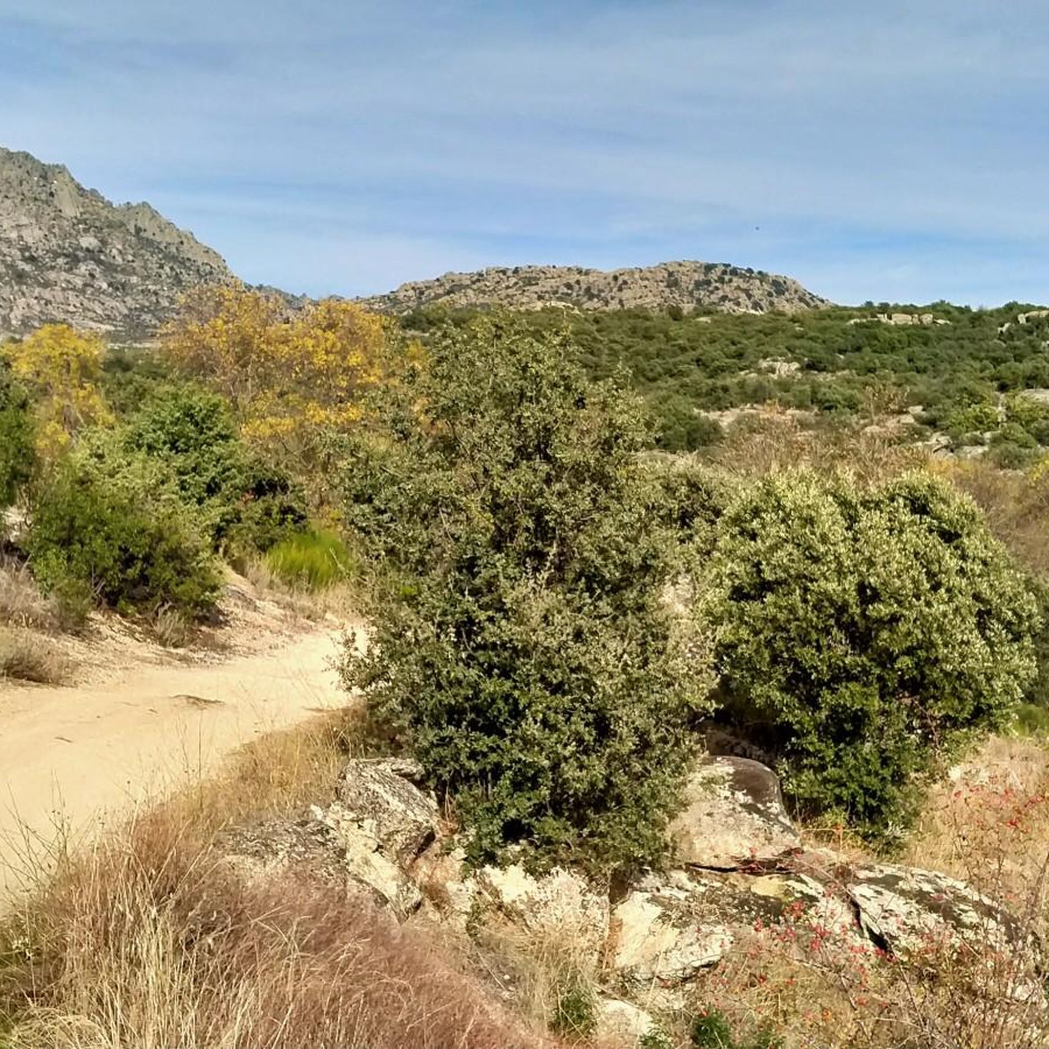
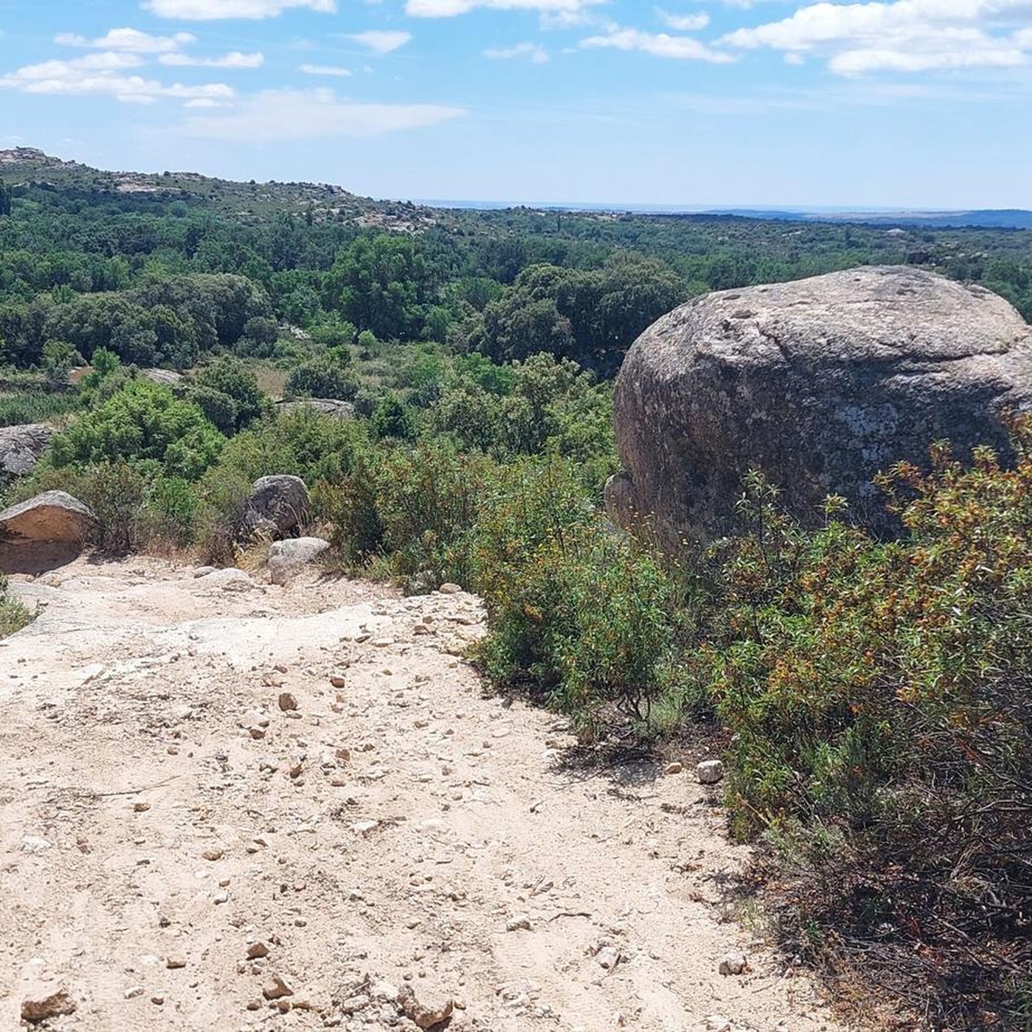
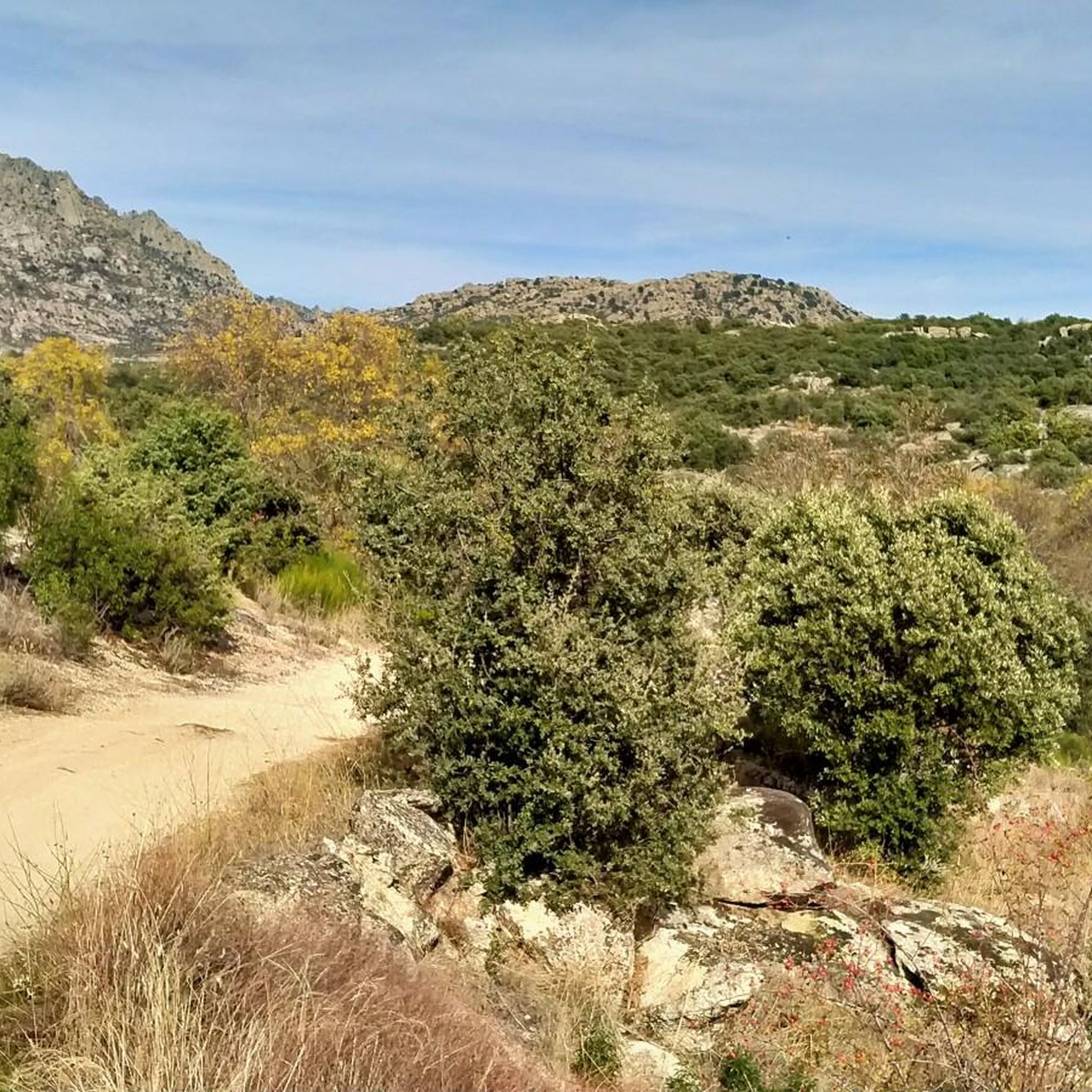
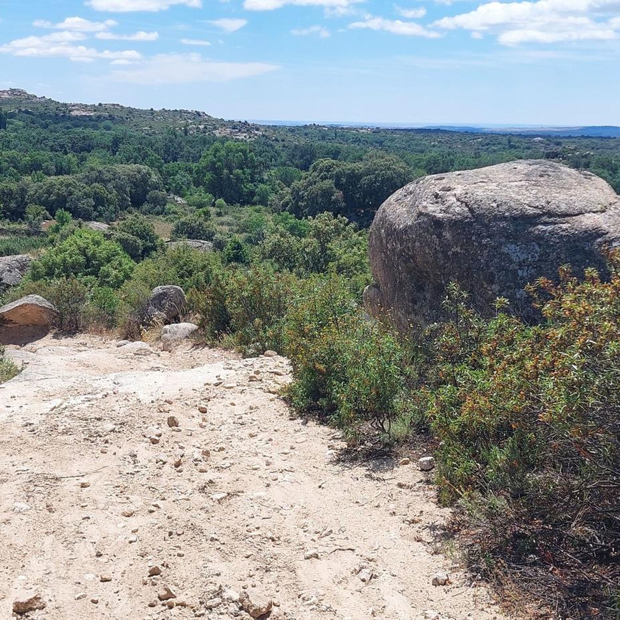

Tips from the Community

It is located in the Sierra de Guadarrama mountain range, between the municipalities of Miraflores de la Sierra and Rascafría, in the Community of Madrid. From Miraflores de la Sierra (1200m), the route ascends approximately 600m over 10km (average gradient 4–6%), and after reaching the summit, it descends 13km to Rascafría (1150m) with a gradient of 4.5–7%.
6
0

Good water and the place is beautiful. A bit crowded if you're right next to it.
1
0

The **Centennial Yew of Canencia** is a unique tree of great botanical and landscape value in the Sierra de Guadarrama, in the Community of Madrid. It is not just a specimen, but part of a small population of yews that has survived in an exceptional setting, the Canencia Birch Forest. ### Characteristics and Location * **Species:** *Taxus baccata* (common yew). * **Age:** The most notable specimen is estimated to be between **400 and 500 years old**. Its longevity is one of the most fascinating characteristics of this species. * **Dimensions:** It has a trunk of considerable girth (around 4.10 meters) and a wide crown about 15 meters in diameter, which demonstrates its advanced age and health. * **Location:** It is located in the **Canencia Birch Forest** area, very close to the Canencia Pass. It is often included in the popular hiking trail known as "The Birch Forest Path" or the "Mojonavalle Waterfall Path." It is located near the Sestil del Maíllo stream. * **Environment:** The yew coexists with other unique species such as birch, holly, and Scots pines. This humid and protected microclimate has allowed the survival of these trees, which are relics of colder, wetter times. ### Importance and Uniqueness * **Botanical Value:** Yews are extremely slow-growing trees and are considered almost immortal. In Spain, they are a protected species, and finding such ancient specimens is a rarity. * **Landscape Value:** The Canencia yew stands out for its majestic appearance in the midst of a very picturesque forest, attracting numerous hikers and nature lovers. * **History and legend:** Like many ancient yew trees, it is steeped in legend. In many European cultures, they were considered sacred trees for their longevity and the toxicity of their parts (except for the pulp of their fruit). ### Access and routes To visit the yew, the most common route is the **Birch Forest Path**, which starts from the Canencia Pass itself. The path is signposted. You walk along a forest track to a detour that leads directly to the Chorrera de Mojonavalle, and a little further on, you will find the yew tree. Despite its age, the tree is increasingly visible and accessible, but it is essential to be respectful and not damage its surroundings to preserve this natural monument.
0
0

Affordable route
0
0

Curious place before arriving at Bustarviejo.
0
0
Port suitable for beginners who want to get in shape
0
0

Founded by Alfonso Filming location of the movie "Welcome, Mister Marshall" (1952), this Madrid town is a good access point to the lower area of the Sierra de Guadarrama, with the Vellón reservoir very close and the Cerro de San Pedro separating it from the town of Colmenar Viejo.
0
0
This sentry box of the old Bustarviejo penal detachment served as surveillance for the prisoners and for possible incursions from the outside, especially those of the maquis, since the environment housed different groups of them.
0
0
Frequently Asked Questions
How many touring cycling routes are available around Valdemanco?
Valdemanco offers a wide selection of touring cycling routes, with over 170 options available. These routes cater to various skill levels, from moderate paths to challenging ascents through the mountainous terrain.
What kind of terrain can I expect on touring cycling routes in Valdemanco?
Touring cycling in Valdemanco is characterized by its diverse and often challenging terrain. You'll encounter mountainous landscapes, green valleys, and elevations reaching over 1,800 meters above sea level. The region, nestled between Pico Mondalindo and the Sierra de La Cabrera, features granite quarries and the Arroyo de Albalá, providing varied surfaces and rewarding descents.
Are there touring cycling routes suitable for beginners in Valdemanco?
Yes, while Valdemanco is known for its challenging routes, there are options for beginners. The area offers 13 easy touring cycling routes, allowing less experienced cyclists to enjoy the beautiful scenery at a comfortable pace.
Are there challenging touring cycling routes for experienced cyclists in Valdemanco?
Absolutely. Experienced touring cyclists will find plenty of challenging routes in Valdemanco, with over 100 difficult options available. These routes often feature significant elevation gains and sustained climbs through mountain passes. A notable example is the La Morcuera Pass – Canencia Pass loop from Navalafuente, a 38.3-mile (61.7 km) route with substantial climbing.
Can I find circular touring cycling routes in Valdemanco?
Yes, many touring cycling routes in Valdemanco are designed as loops, allowing you to start and finish in the same location. For instance, the El Berrueco – El Berrueco loop from La Cabrerita is a popular 23.3-mile (37.5 km) circular trail that takes you through the region's varied landscape.
What natural features or landmarks can I see while touring cycling in Valdemanco?
The touring cycling routes around Valdemanco offer stunning natural features. You can cycle past historical granite quarries, enjoy views of green valleys, and experience the natural purity of the Sierra Norte. The region is also home to the serene Laguna del Carrizal and the Arroyo de Albalá. For impressive vistas, consider routes that pass by mountain peaks like Pico de la Miel or through significant mountain passes such as Canencia Pass.
What do other cyclists say about the touring routes in Valdemanco?
The touring cycling routes in Valdemanco are highly regarded by the komoot community, boasting an average score of 4.8 stars from nearly 100 reviews. Over 2,500 touring cyclists have explored the area, often praising the challenging climbs, rewarding descents, and the stunning natural beauty of the Sierra Norte.
What is the best time of year for touring cycling in Valdemanco?
Given Valdemanco's mountainous terrain in the Sierra Norte, spring and autumn generally offer the most pleasant conditions for touring cycling. Temperatures are milder, and the scenery is vibrant. Summer can be hot, especially at lower elevations, while winter may bring colder temperatures and potential snow at higher altitudes, making some routes more challenging.
Are there options for public transport to access touring cycling routes in Valdemanco?
While specific public transport connections directly to trailheads are not detailed, Valdemanco is situated within the broader Sierra Norte region of Madrid. It's advisable to check local bus schedules or regional transport options that connect to Valdemanco or nearby towns, which may offer access points to the cycling network.
Where can I park my car when going touring cycling in Valdemanco?
Specific parking areas for individual trailheads are not listed, but Valdemanco, as a small town, typically offers public parking options within the village. When planning your route, look for designated parking zones in or near the town center, or at the start of popular routes, keeping in mind local regulations.
Are there places to stop for refreshments or food along the touring cycling routes?
While the routes themselves traverse natural landscapes, Valdemanco and surrounding villages in the Sierra Norte region offer opportunities for refreshments. You can find local cafes and pubs in the towns you pass through or at the start/end points of your ride. It's always a good idea to carry sufficient water and snacks, especially on longer or more remote sections.
What cultural attractions can I visit after a touring cycling trip in Valdemanco?
After your ride, you can explore Valdemanco's cultural side. Visit the Church of Nuestra Señora del Carmen, admire the traditional architecture, or see the Monumento de los Canteros, which honors the town's granite workers. The Taller-Fundación Berruti also offers contemporary art integrated into nature.
Most popular routes around Valdemanco
Most popular attractions around Valdemanco

Get inspired with the komoot mobile app


Explore more
Browse the best Cycling routes in other regions.
