The best running trails around Melgar De Yuso
5.0
(5)
48
runners
7
runs
Jogging routes around Melgar De Yuso are characterized by the flat terrain surrounding the Pisuerga River and the Canal del Pisuerga, offering scenic and consistent surfaces. The region borders Tierra de Campos, providing expansive open fields and unobstructed views. Many paths coincide with the historic Camino de Santiago, offering varied terrain and cultural points of interest for runners. The area provides accessible trails suitable for different fitness levels.
Best jogging routes around Melgar De Yuso
- The most popular jogging route…
Last updated: October 29, 2026
5.72km
00:41
110m
110m
Moderate run. Good fitness required. Mostly runnable paths. Some sure-footedness required.
15
runners
16.3km
02:01
260m
260m
Hard run. Very good fitness required. Mostly paved surfaces.

5.0
(1)
11
runners
12.3km
01:32
240m
240m
Moderate run. Good fitness required. Mostly paved surfaces.
7
runners
21.4km
02:39
360m
360m
Hard run. Very good fitness required. Mostly paved surfaces.
5.0
(1)
6
runners
6.12km
00:40
50m
50m
Moderate run. Good fitness required. Mostly paved surfaces.
Get access to more routes and recommendations from other explorers.
Already have an account?
Our route recommendations are based on thousands of hikes, rides, and runs completed by other people on komoot.
Start today with a free account
Your next adventure awaits.
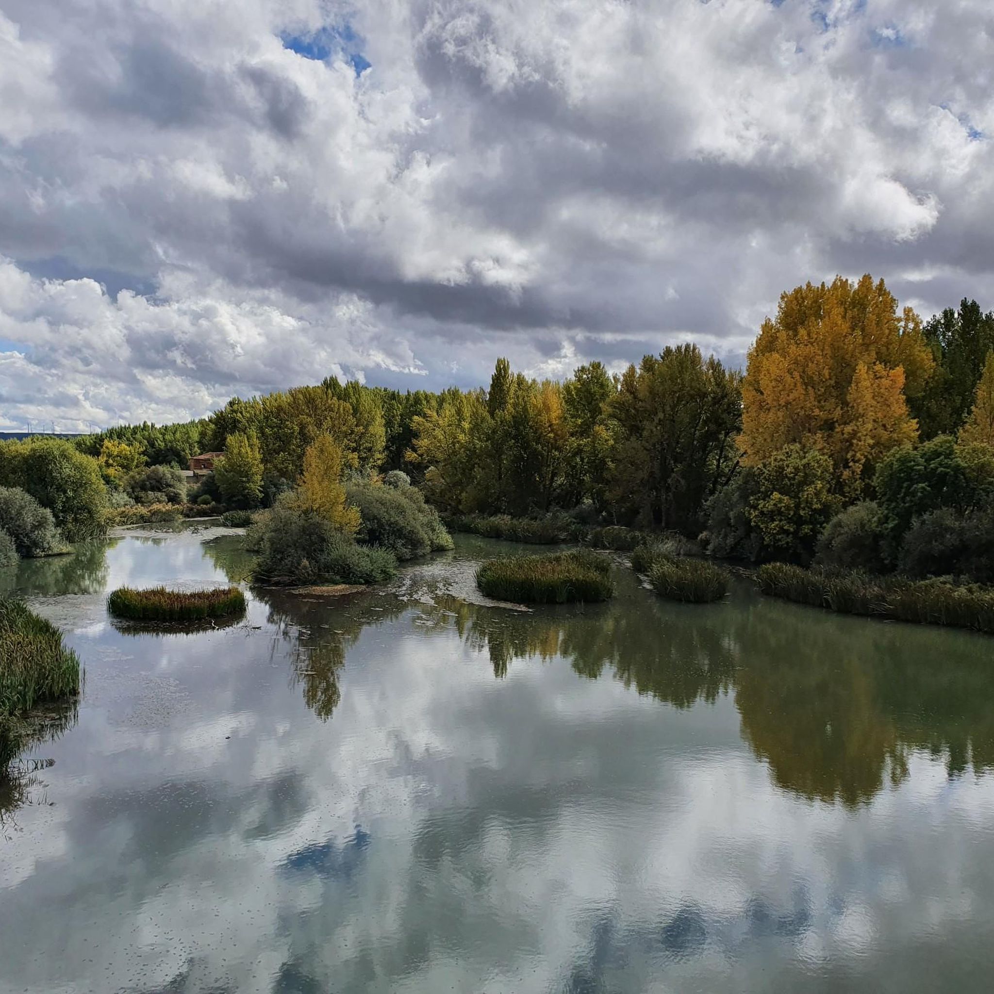
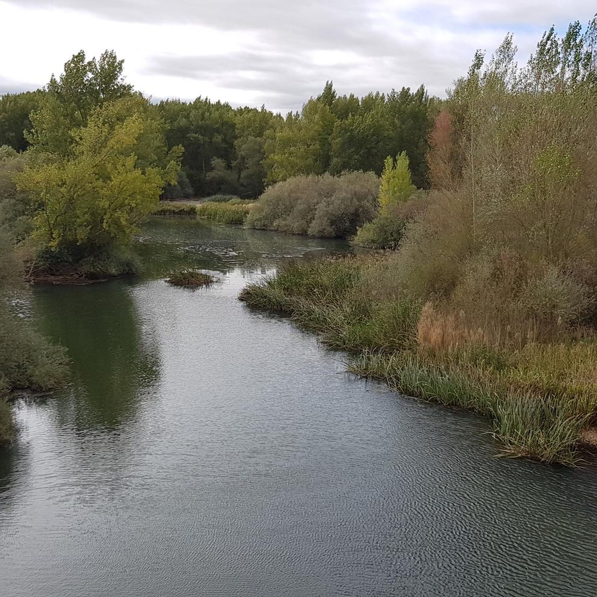
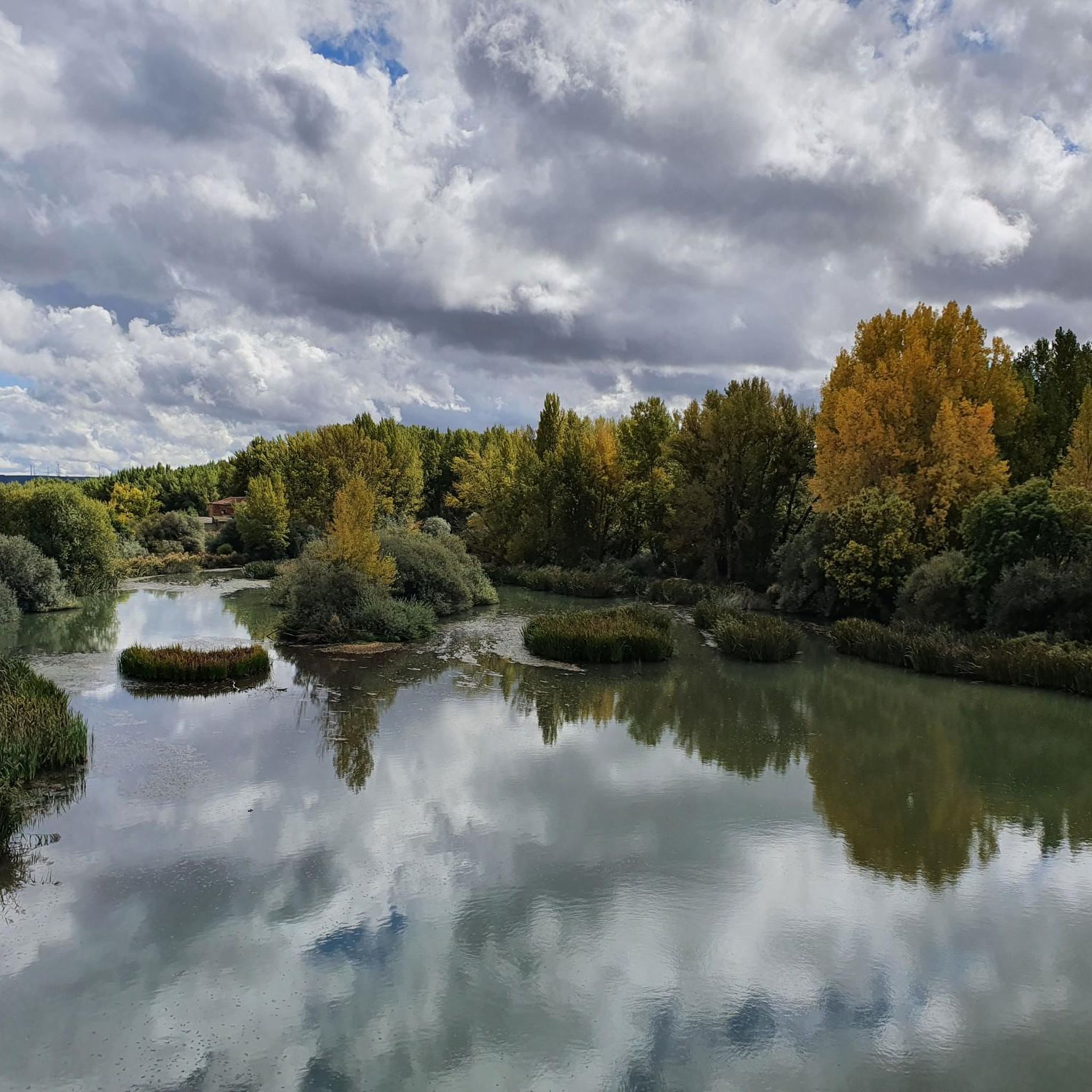
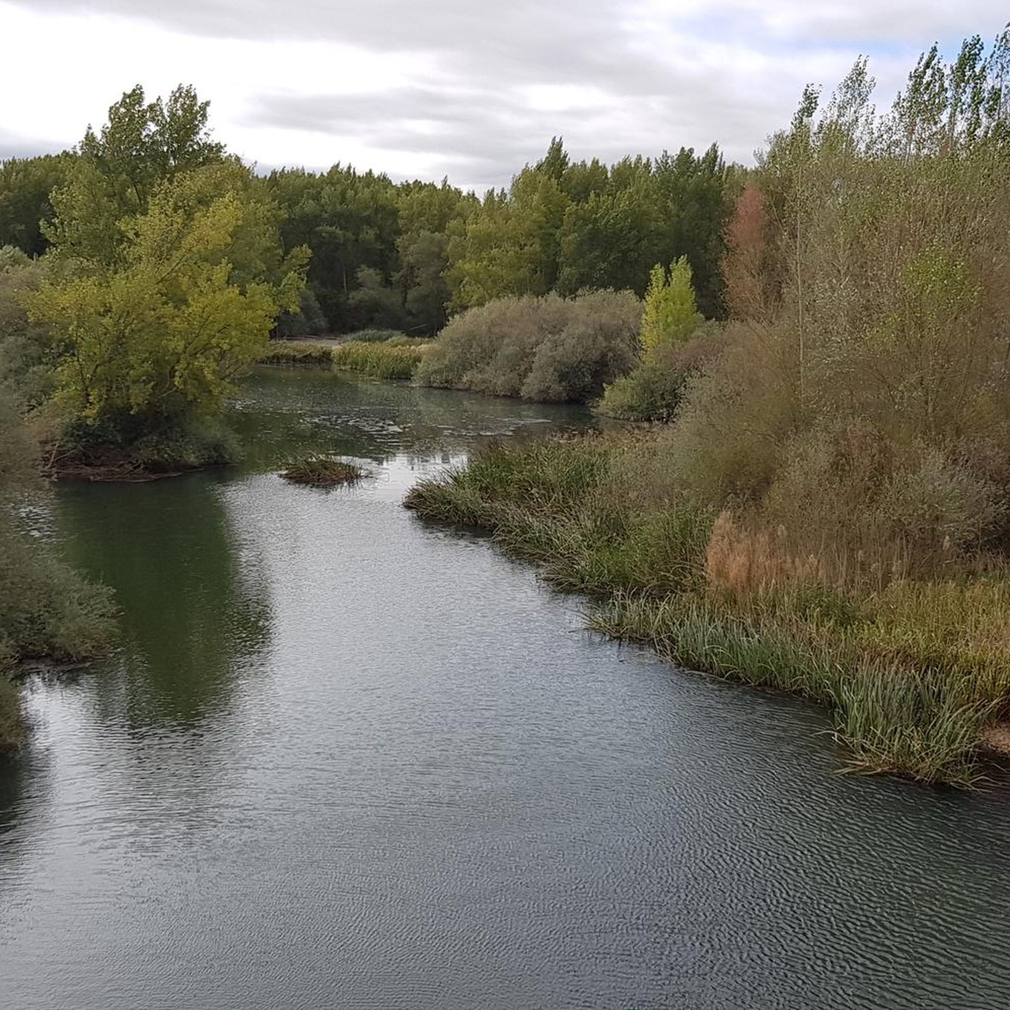
Tips from the Community

The monumental complex comprises the Royal Convent of Santa Clara and its church, and the Palace-Museum of Peter I. The Church of Santa Clara was formerly known as the Church of Our Lady of the Angels. It was built in the 14th century by Doña María Padilla, mistress of King Peter I of Castile.
0
0

The fortified house of Melgar de Yuso is a historic building located in the town of Melgar de Yuso, in the province of Palencia, Castile and León. This building dates back to the 14th century and originally belonged to the Order of Santiago. The façade of the palace, which is now a private residence, is notable for its entrance defended by a machicolation supported by four corbels and flanked by two turrets. Small heraldic shields adorn both sides of the doorway. Melgar de Yuso is a town with a rich history, linked to the Camino de Santiago (Way of St. James) and boasting several interesting monuments.
4
0
The Casa Fuerte dates from the 14th century. It is likely the fortress built around 1471 by Tristán de Aza, which the Chancellery of the Kings of Castile ordered his son Álvaro de Aza to demolish in 1493.
0
1
The ruins of Astudillo Castle rise on a prominent mound detached from the San Martín moor. Although its origins may date back to the 10th century, there is no documentary evidence of its existence until the 11th century.
1
0
The Casa Fuerte dates from the 14th century. Its two towers flank a large burglar's lair, with a loophole in the center, protecting the entrance. Two heraldic shields appear on either side of the door. The complex is built of ashlar. It is currently in good condition and is used as a private residence.
1
1
Good views of Astudillo from this viewpoint.
0
0
Good views of Astudillo, especially of the Mota castle.
0
1
Ancient plasterworks, witnesses to the former occupation of the people of Astudillo, are now open for visits.
0
1
Frequently Asked Questions
How many jogging routes are available around Melgar de Yuso?
There are 8 dedicated jogging routes around Melgar de Yuso, catering to various fitness levels. You'll find options ranging from easy strolls to more challenging runs.
Are there any easy running routes suitable for beginners or families?
Yes, there is one easy running route available. While specific family-friendly routes are not explicitly tagged, many of the moderate routes, especially those along the flat canal paths, can be suitable for a relaxed pace. For a moderate option that's not too strenuous, consider the Running loop from Astudillo.
What kind of terrain can I expect on the running trails in Melgar de Yuso?
The terrain around Melgar de Yuso is quite varied. You can expect picturesque and generally flat paths alongside the Pisuerga River and the Canal de Castilla, which are ideal for steady runs. Other routes might take you through the expansive, open fields characteristic of the Tierra de Campos, or offer more challenging sections with moderate elevation changes, particularly on trails closer to the Camino de Santiago.
Are there any circular jogging routes in the area?
Yes, many of the running routes around Melgar de Yuso are circular, allowing you to start and finish in the same location. An example of a moderate circular route is the Castillo de la Mota Astudillo Loop, which offers scenic views.
What interesting landmarks or natural features can I see while running?
The routes often pass by significant historical and natural sights. You can run alongside the historic Canal de Castilla, which includes the notable Quadruple Lock. Other routes might take you near the Castle of La Mota of Astudillo or the charming village of Astudillo. The Scenic Section of the Canal de Castilla is also a highlight.
Are the jogging routes around Melgar de Yuso dog-friendly?
While specific regulations can vary, the natural and open character of the paths along the Pisuerga River and the Canal de Castilla, as well as the open fields, generally make them suitable for running with dogs, provided they are kept under control. Always ensure to follow local signage and be respectful of wildlife and other users.
What is the best time of year to go jogging in Melgar de Yuso?
Spring and autumn are generally the most pleasant seasons for jogging in Melgar de Yuso, offering mild temperatures and beautiful landscapes. Summer can be hot, so early mornings or late evenings are recommended. Winters are cooler but can still be suitable for running, especially on clear days.
Are there any challenging running routes for experienced runners?
Yes, for those seeking a more demanding run, there are two difficult routes available. The Casa Fuerte de Melgar de Yuso loop from Melgar de Yuso is a challenging option, as is the longer Sexto Pino Trail – Senda del Tubo Rojo loop from Astudillo.
What do other runners say about the trails in Melgar de Yuso?
The komoot community highly rates the running experiences around Melgar de Yuso, with an average score of 5.0 stars. Runners often praise the peaceful river and canal paths, the historical points of interest, and the opportunity to explore the scenic countryside of Cerrato Palentino.
Is parking available near the trailheads?
Parking is generally available in and around Melgar de Yuso, particularly in the village center. For routes starting from Astudillo, you'll also find parking options there. Many of the canal-side paths are accessible from various points, making it convenient to find a starting spot.
Can I reach the jogging routes using public transport?
While Melgar de Yuso is a smaller village, it is generally accessible by regional bus services. However, public transport options might be limited, especially for reaching specific trailheads outside the main village. It's advisable to check local bus schedules in advance if you plan to rely on public transport.
Most popular attractions around Melgar De Yuso

Get inspired with the komoot mobile app


Explore more
Browse the best Running Trails & Routes in other regions.
