The best running trails around La Huerce
161
runners
11
runs
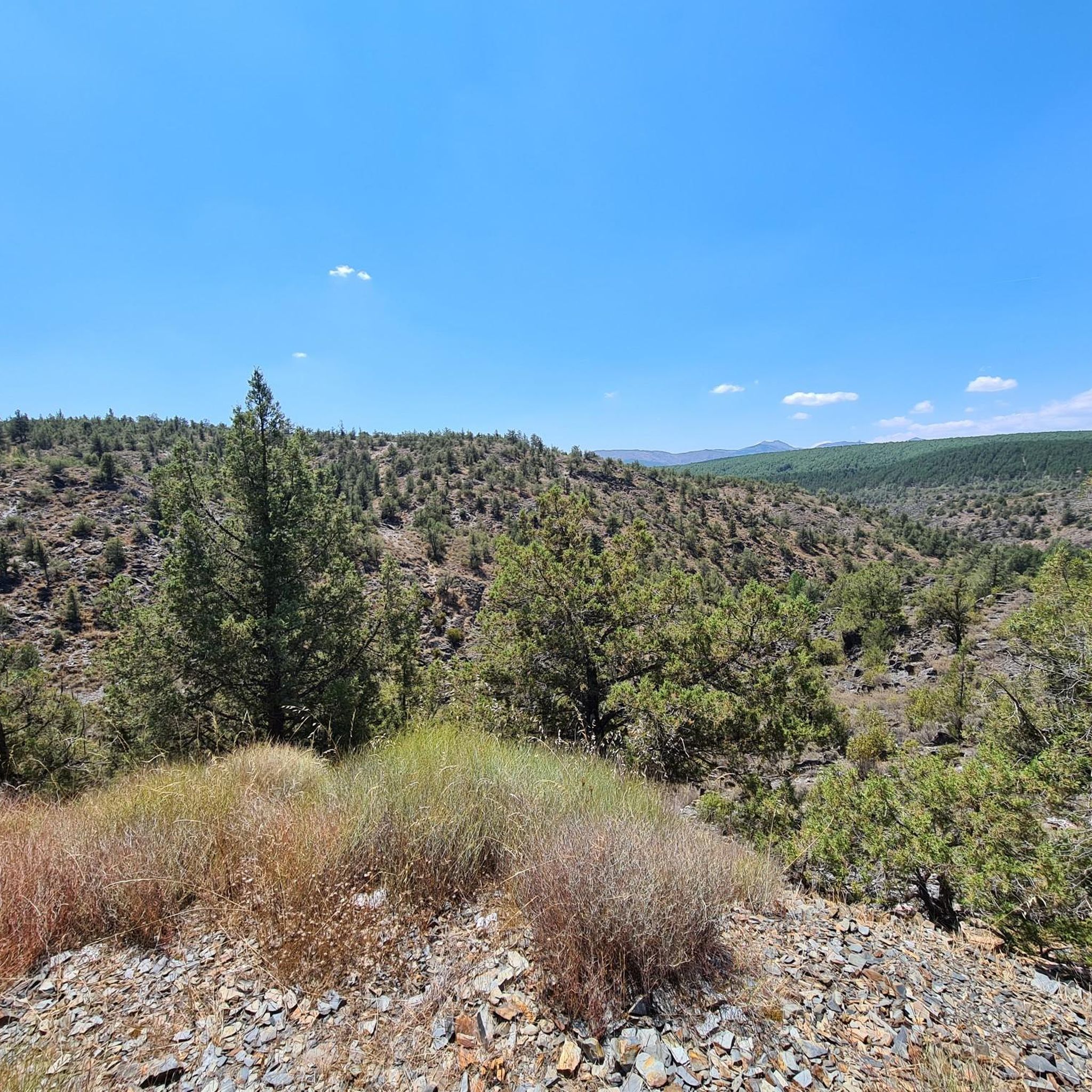
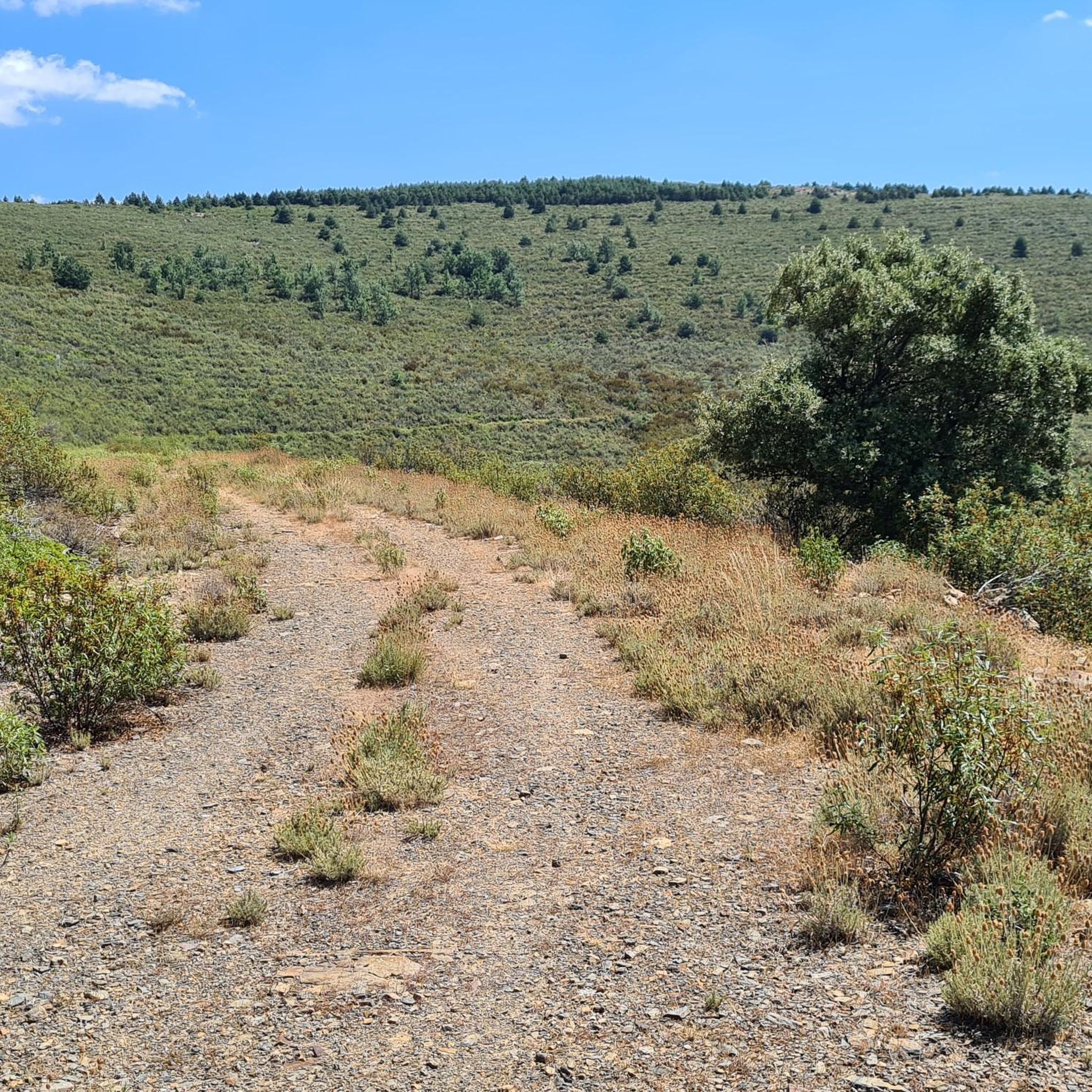
Jogging routes around La Huerce traverse diverse landscapes within the Sierra Norte Natural Park in Guadalajara, Spain. The region features mountainous terrain, including the prominent Pico Ocejón, and is characterized by pine and oak forests. Numerous arroyos and irrigation channels, along with the Sorbe River, crisscross the area, adding to the natural features. The unique "black architecture" villages also provide a cultural backdrop to the running experience.
Best jogging routes around La Huerce
- The most popular jogging route is GR…
Last updated: June 28, 2026
12
runners
11.3km
02:14
760m
760m
Tackle the challenging 7.0-mile Pico Ocejon via Chorrera de Despeñalagua circular trailrunning route from Valverde de los Arroyos, gaining 2
36
runners
11.8km
02:06
700m
700m
Hard run. Very good fitness required. Sure-footedness, sturdy shoes and alpine experience required.

Sign up for free
21
runners
21.6km
04:02
1,300m
1,300m
Hard run. Very good fitness required. Sure-footedness, sturdy shoes and alpine experience required.
9
runners
18.7km
03:14
1,000m
1,000m
Hard run. Very good fitness required. Sure-footedness, sturdy shoes and alpine experience required.
7
runners
8.71km
00:55
110m
110m
Moderate run. Good fitness required. Mostly paved surfaces. Suitable for all skill levels.
Get access to more routes and recommendations from other explorers.
Sign up for free
Already have an account?
Our route recommendations are based on thousands of hikes, rides, and runs completed by other people on komoot.
Start today with a free account
Your next adventure awaits.
Login or Signup
Tips from the Community

The most popular route to ascend Pico Ocejón begins in Valverde de los Arroyos and is known for its scenic beauty and moderate difficulty. The hike is approximately 14.74 km and typically takes around 6 hours with stops. Along the way, hikers can enjoy spectacular views and the rich biodiversity of the area.
6
0
The most popular route to ascend Pico Ocejón begins in Valverde de los Arroyos and is known for its scenic beauty and moderate difficulty. The hike is approximately 14.74 km and typically takes around 6 hours with stops. Along the way, hikers can enjoy spectacular views and the rich biodiversity of the area.
6
0

The climb is hard, but it is worth it. Although we were not lucky enough to see all the scenery that should be seen from that height. The descent is almost harder than the ascent.
1
0
A picturesque village among the black villages of Guadalajara. The food is great and it is a good starting point for hiking and mountain biking excursions.
1
0
The ridge meadow in Majaelrayo is a very popular hiking route in the Sierra Norte de Guadalajara, Castilla-La Mancha. This route is known for its impressive views and its connection to Pico Ocejón, one of the highest peaks in the area at 2,049 meters above sea level.
4
0
At 2049 metres above sea level, it is one of the highest and most popular peaks for hiking in the region. There are several routes to climb Pico Ocejón, the most common being those starting from Majaelrayo and Valverde de los Arroyos. Both routes offer stunning landscapes and the opportunity to enjoy nature at its best.
6
0

1600mts Peña Bernarda. With 2k left, Pozo Ocejon. Not too technical climb but with good steep slopes
2
0
The Chorreras de Despeñalagua are an impressive set of waterfalls located in the Chorrera stream, a tributary of the Sorbe river, on the northern slope of the Ocejón peak near Valverde de los Arroyos. The waterfall has a height of about 120 meters and flows throughout the year, especially during the thaw season. In winter, frost is often found, which adds a magical touch to the landscape. The route to visit the Chorreras de Despeñalagua is simple and suitable for the whole family. The path, approximately 4.5 km, offers spectacular views and allows you to explore the streets and buildings of Valverde de los Arroyos. Also, on the way to the town, you will pass through other charming black towns such as Palancares, Almiruete and Tamajón. Definitely a destination worth exploring! 😊
8
0
Frequently Asked Questions
How many running routes are available around La Huerce?
There are 9 running routes documented around La Huerce on komoot. These trails offer a variety of experiences within the Sierra Norte Natural Park, catering mostly to more experienced runners.
What kind of terrain can I expect on the jogging trails in La Huerce?
The jogging trails around La Huerce traverse diverse landscapes. You can expect mountainous terrain, including ascents to peaks like Pico Ocejón, dense pine and oak forests, and paths crisscrossed by arroyos and irrigation channels. Many routes also pass through or near the unique "black architecture" villages.
Are there any easy or moderate jogging routes for beginners in La Huerce?
While most of the routes around La Huerce are considered difficult, there is one moderate route available. The region is generally characterized by challenging terrain, making it more suitable for experienced runners.
Can I find circular running routes in the La Huerce area?
Yes, several circular running routes are available. For example, the challenging Pico Ocejón – Pico Ocejón loop from Valverde de los Arroyos offers expansive views, and the Pico Ocejón loop from Almiruete also provides a circular experience through mountainous terrain.
Are there any jogging routes that pass by waterfalls or other natural attractions?
Absolutely! You can enjoy a run that includes natural attractions like the Despeñalagua Waterfall. The Despeñalagua Waterfall – Valverde de los Arroyos loop from Valverde de los Arroyos is a route that features this beautiful natural monument.
What are some notable landmarks or points of interest I might see while running in La Huerce?
Beyond the natural beauty, you'll encounter the distinctive "black architecture" villages, such as Valverde de los Arroyos, which add a cultural dimension to your run. The prominent Pico Ocejón is a major landmark, and you might also pass by mountain passes like The ridge meadow or Hervidero Pass.
Are the jogging routes in La Huerce suitable for families?
The majority of jogging routes in La Huerce are rated as difficult due to significant elevation changes and distances. While some easier hiking paths exist in the region, specific family-friendly jogging routes are not prominently featured in the current selection. It's advisable to check individual route details for suitability.
Is it possible to access the running trails in La Huerce using public transport?
Access to trailheads in the Sierra Norte Natural Park, including those around La Huerce, can be challenging via public transport. While some villages might have limited bus services, it's generally recommended to use a car for flexibility when planning to access the running routes.
Where can I park my car when visiting the jogging routes in La Huerce?
Many villages in the Sierra Norte Natural Park, such as Valverde de los Arroyos and Almiruete, which serve as starting points for several routes, typically offer parking facilities. It's best to check local signage upon arrival for designated parking areas near trailheads.
What is the best time of year for running in La Huerce?
The region's diverse landscapes are enjoyable throughout much of the year. Spring and autumn generally offer pleasant temperatures and vibrant scenery, ideal for running. Summers can be warm, while winters might bring snow to higher elevations, making some routes more challenging or inaccessible.
Are there any running routes that explore the unique "black architecture" villages?
Yes, the GR 60 Pueblos de la Arquitectura Negra - Senderos GR is a notable route that specifically explores these traditional villages, offering a cultural and scenic running experience.
Most popular attractions around La Huerce

Get inspired with the komoot mobile app


Explore more
Browse the best Running Trails & Routes in other regions.
