The best MTB trails around Torrecilla En Cameros
4.8
(11)
293
riders
33
rides
Mountain bike trails around Torrecilla En Cameros are situated within the Sierra de Cameros mountains, offering diverse landscapes for outdoor enthusiasts. The region features varied terrain including beech, oak, and pine forests, dramatic canyons, and gorges. Routes often follow the Iregua River, providing a mix of challenges and scenic backdrops for mountain bikers. This mountainous environment presents options for different ability levels.
Best mountain bike trails around Torrecilla En Cameros
- The most popular mountain bike trail is View of the…
Last updated: June 28, 2026
1
riders
49.2km
04:50
1,370m
1,380m
Tackle a difficult 30.6-mile mountain bike route through La Rioja, exploring ancient caves and diverse landscapes in the Sierra de Cameros.
18
riders
53.4km
05:45
1,550m
1,550m
Hard mountain bike ride. Very good fitness required. Advanced riding skills necessary.

Sign up for free
9
riders
Hard mountain bike ride. Very good fitness required. Advanced riding skills necessary. Some portions of the route may require you to push your bike.
8
riders
Moderate mountain bike ride. Good fitness required. Suitable for all skill levels.
6
riders
48.2km
04:34
1,220m
1,220m
Hard mountain bike ride. Very good fitness required. Advanced riding skills necessary.
Get access to more routes and recommendations from other explorers.
Sign up for free
Already have an account?
Our route recommendations are based on thousands of hikes, rides, and runs completed by other people on komoot.
Start today with a free account
Your next adventure awaits.
Login or Signup
Tips from the Community

The Alto de Moncalvillo is located on the Las Neveras trail, where the old snow wells were. It is also the entry point to the ridge of the surrounding mountains and a privileged viewpoint.
0
0

Small village that in 2022 had only 17 inhabitants. It is located in the Camero Nuevo region. Its parish church of Nuestra Señora de la Asunción houses a Baroque altarpiece and a Gothic crucifix from the 14th century.
0
0
Small village of about 70 inhabitants. Two pilgrimages are held every year in the Lollano hermitage: the first Sunday in June and the last Sunday in September.
0
0
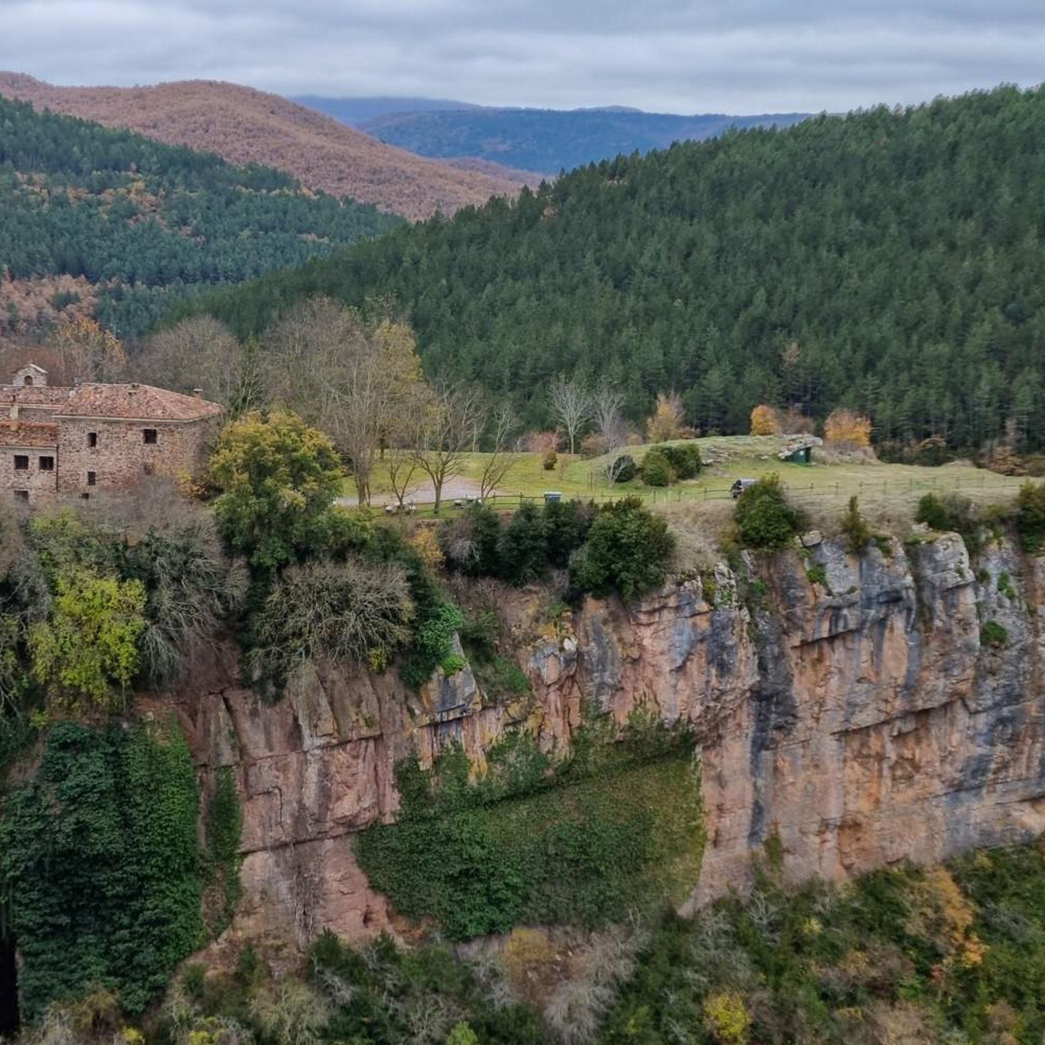
One of the most beautiful mountain villages in the Cameros region. Filled with stone houses, it is located on the slopes of a natural canyon, the Encinedo massif. This ravine was formed through a karstic process that gave rise to several chasms and caves. Two of them can be visited, the one in La Paz and the one in La Villa.
1
0

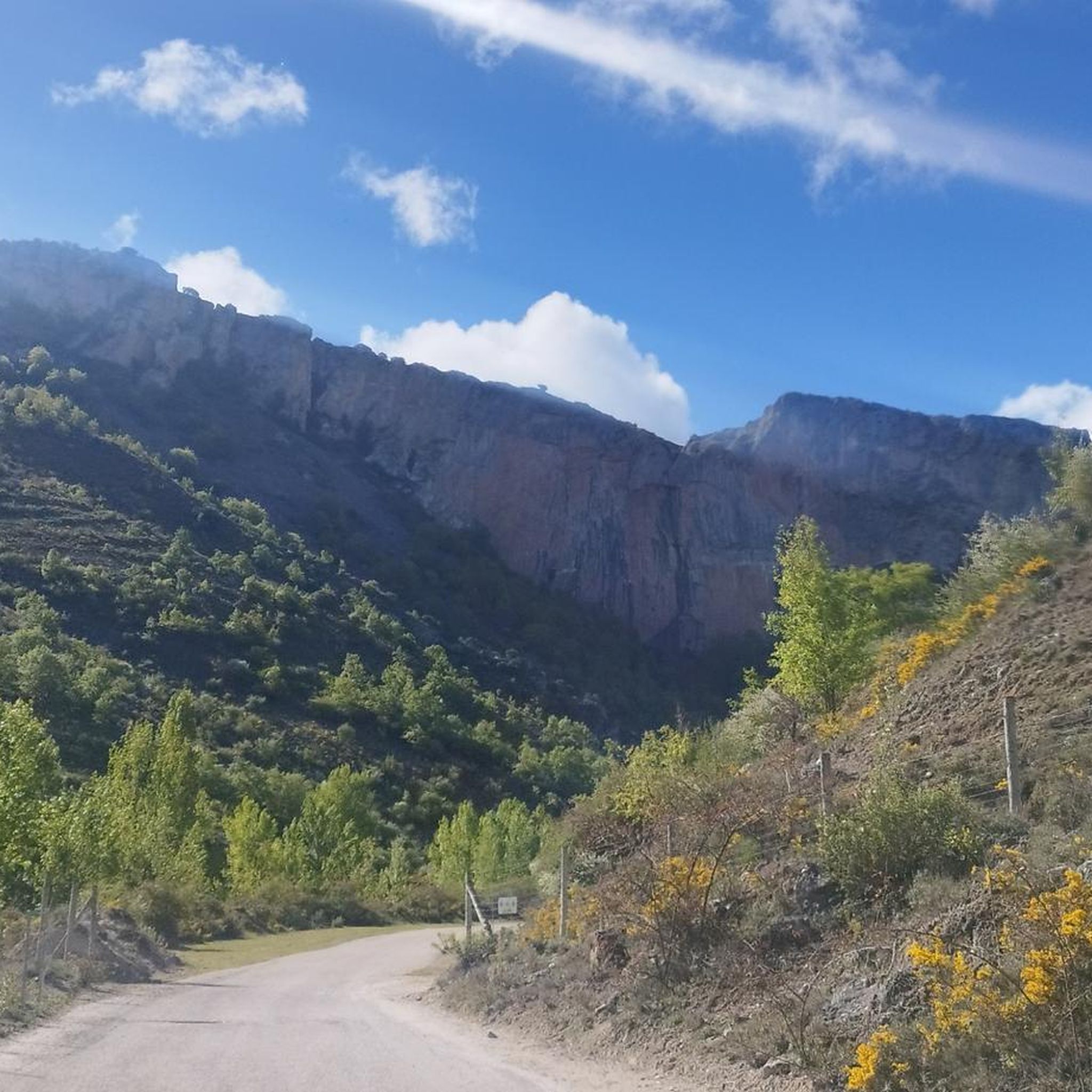
Path along the slopes of Moncalvillo in the direction of Sojuela. It can be explored on foot or by bike.
0
0

Singular tree of the CCAA, quite deteriorated but enduring the passing of the years.
1
0
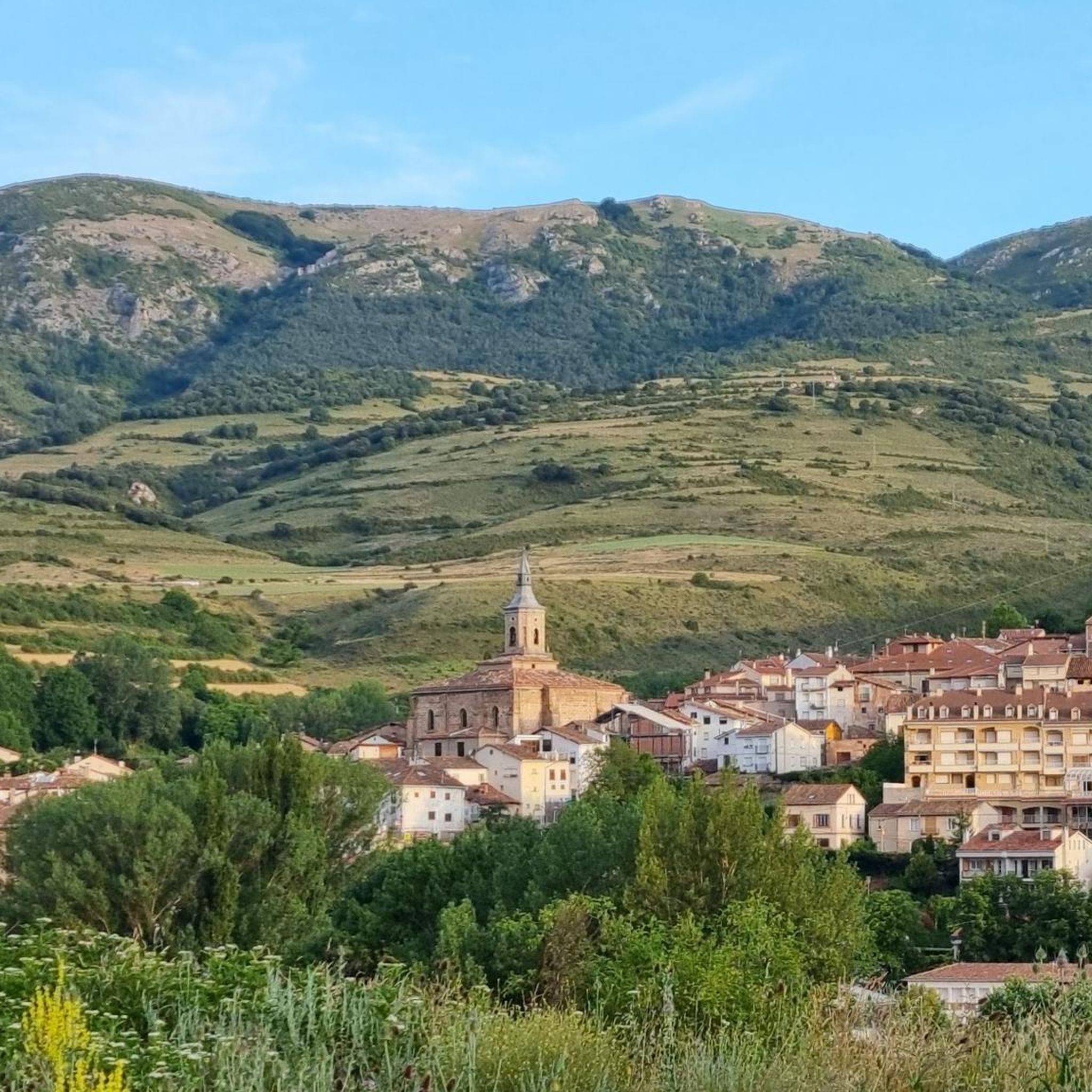
Important town of the region of Cameros.
1
0

El Rasillo is a town in Los Cameros that has a livestock tradition. Today it is a tourist town located between the swamp and the mountain. A very special corner that deserves a visit on wheels.
0
0
Frequently Asked Questions
How many mountain bike trails are there around Torrecilla En Cameros?
There are over 30 mountain bike trails available around Torrecilla En Cameros. These routes cater to various skill levels, with a significant number offering challenging terrain.
Are there any easy mountain bike trails for beginners in Torrecilla En Cameros?
While the region is known for its moderate to difficult routes, there are no trails specifically graded as 'easy' in our current selection. Most routes require a good level of physical fitness and some technical skill due to the mountainous terrain and varied surfaces.
What are some moderate mountain bike trails in the area?
A good moderate option is the El Rasillo de Cameros loop from Nieva de Cameros. This trail is 27.2 km long with an elevation gain of 691 meters, typically taking under 3 hours to complete. It offers a good introduction to the Cameros region's landscapes.
Which mountain bike trails offer the best views or pass by interesting landmarks?
Many trails offer stunning views of the Sierra de Cameros. The Los Peñuejos Rock Formations – View of the Islallana Cliffs loop from Torrecilla en Cameros is a challenging route that provides expansive views and passes by notable rock formations. Additionally, the historic Via Romana del Iregua, which some trails follow, features ancient stone towers, ruins, and medieval bridges.
Are there any circular mountain bike routes in Torrecilla En Cameros?
Yes, many routes are designed as loops. For example, the challenging Viguera, Santa María en Cameros, Cuevas Las Palomares – circular por Nalda is a 49.2 km circular trail. Another option is the View of the Islallana Cliffs – Los Peñuejos Rock Formations loop from Torrecilla en Cameros, which is 48.1 km long.
What is the best season for mountain biking in Torrecilla En Cameros?
The region is generally best explored during spring, summer, and early autumn. These seasons offer more stable weather conditions for enjoying the diverse landscapes, including beech forests and river valleys. Winter can bring snow and colder temperatures, making some trails more challenging or inaccessible.
Are there any family-friendly mountain bike trails?
Given that most trails are rated moderate to difficult, with significant climbs and technical sections, they are generally more suited for experienced riders. There are no specific trails identified as 'family-friendly' in our current data, but shorter, less technical sections of the Via Romana del Iregua might be suitable for families with older, experienced children.
Can I bring my dog on the mountain bike trails?
While many trails in natural areas are dog-friendly, it's always advisable to check local regulations for specific routes, especially within protected areas like the nearby Sierra Cebollera Natural Park. Ensure your dog is well-behaved, on a leash where required, and that you carry water for them.
What are some natural attractions or points of interest near the trails?
Beyond the trails, you can explore the Cuevas de Palomares, or visit the village of Ortigosa de Cameros, which is known for its impressive Ortigosa Caves. The Sierra Cebollera Natural Park, located nearby, also features waterfalls and diverse wildlife.
What do other mountain bikers enjoy most about mountain biking in Torrecilla En Cameros?
The area is highly rated by the komoot community, with an average score of 4.8 stars. Reviewers often praise the varied mountainous terrain, the stunning beech forests, and the challenging routes along the Iregua River, highlighting the region's commitment to the sport.
Are there any trails that follow the Iregua River?
Yes, the Iregua River flows through Torrecilla en Cameros, and several routes follow its banks. The historic Via Romana del Iregua, for instance, closely traces the river's course in many sections, offering picturesque views and a blend of natural beauty with historical significance.
Where can I find parking for mountain biking in Torrecilla En Cameros?
Torrecilla en Cameros serves as a central point for many routes, and parking is generally available within the village. For specific trailheads outside the village, it's recommended to check the individual route details on komoot for designated parking areas or suitable roadside spots.
Most popular attractions around Torrecilla En Cameros

Get inspired with the komoot mobile app


Explore more
Browse the best MTB trails in other regions.
