The best road cycling routes around Campillos
5.0
(2)
472
riders
39
rides
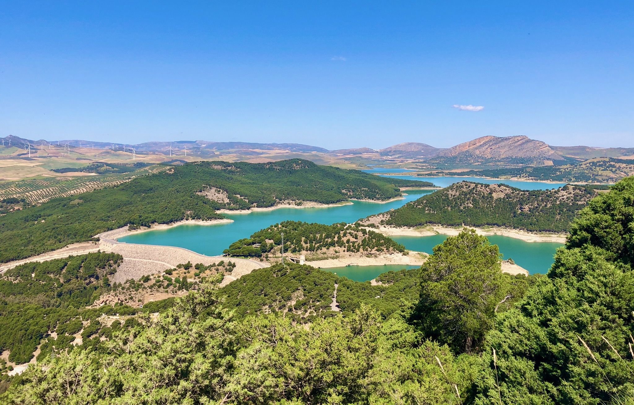
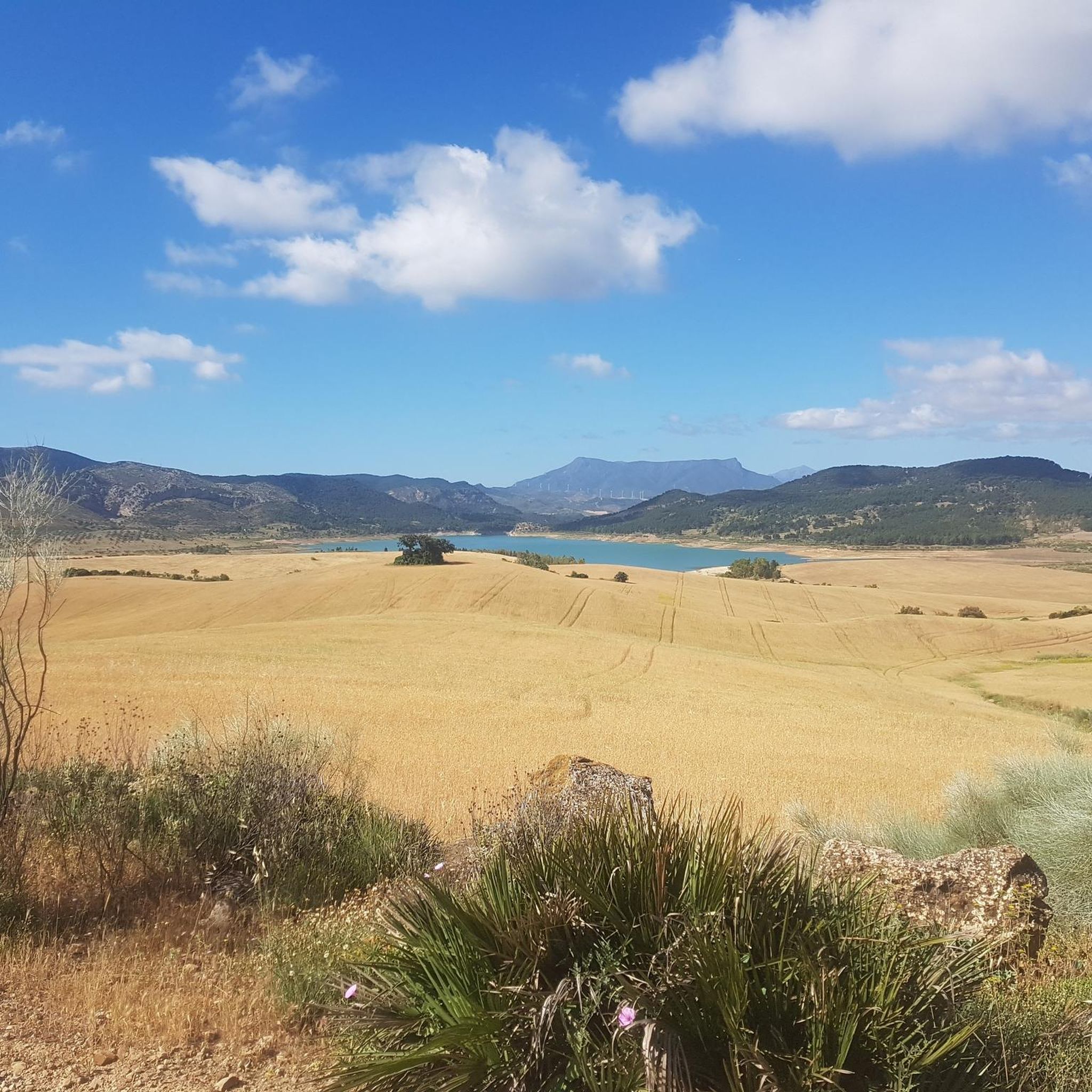
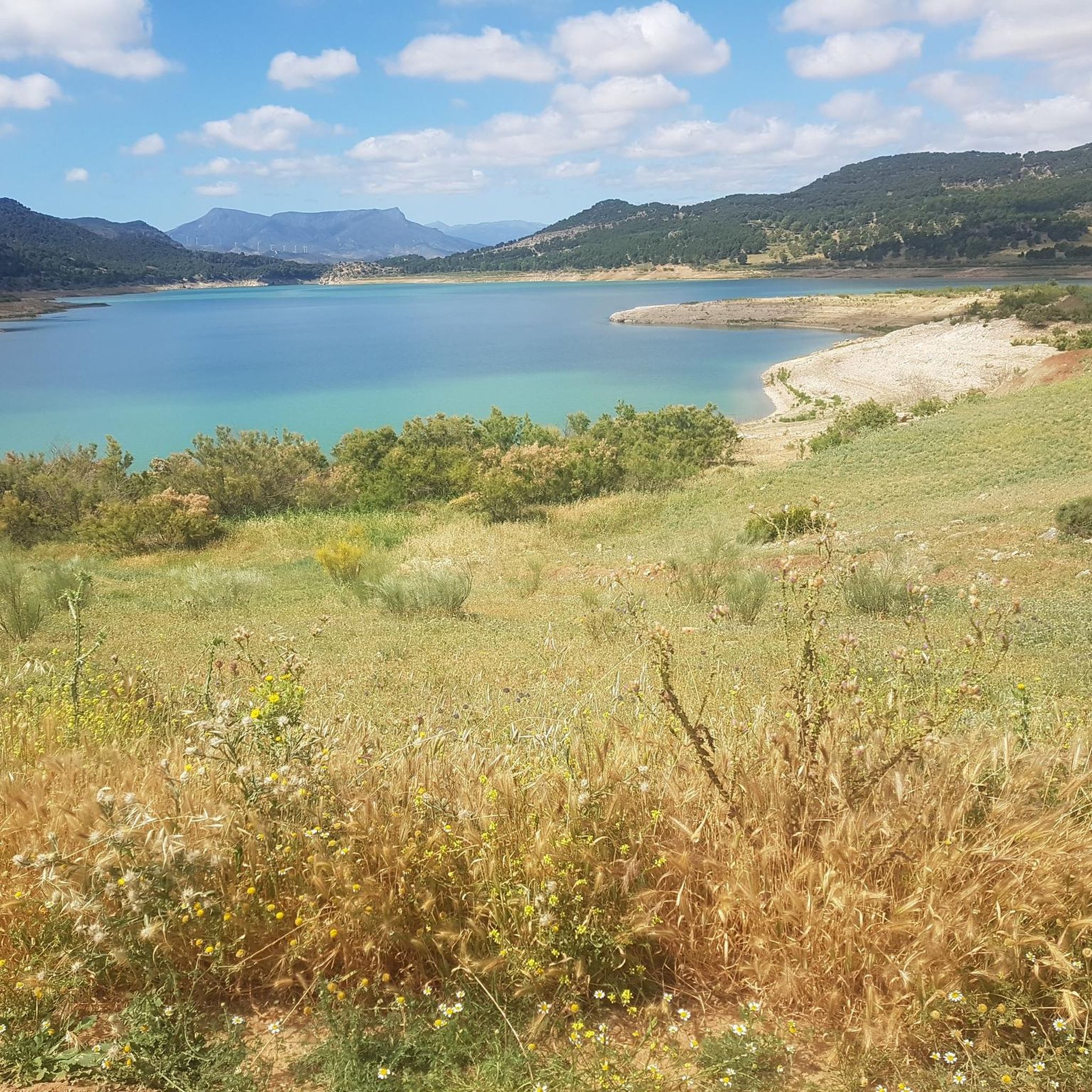
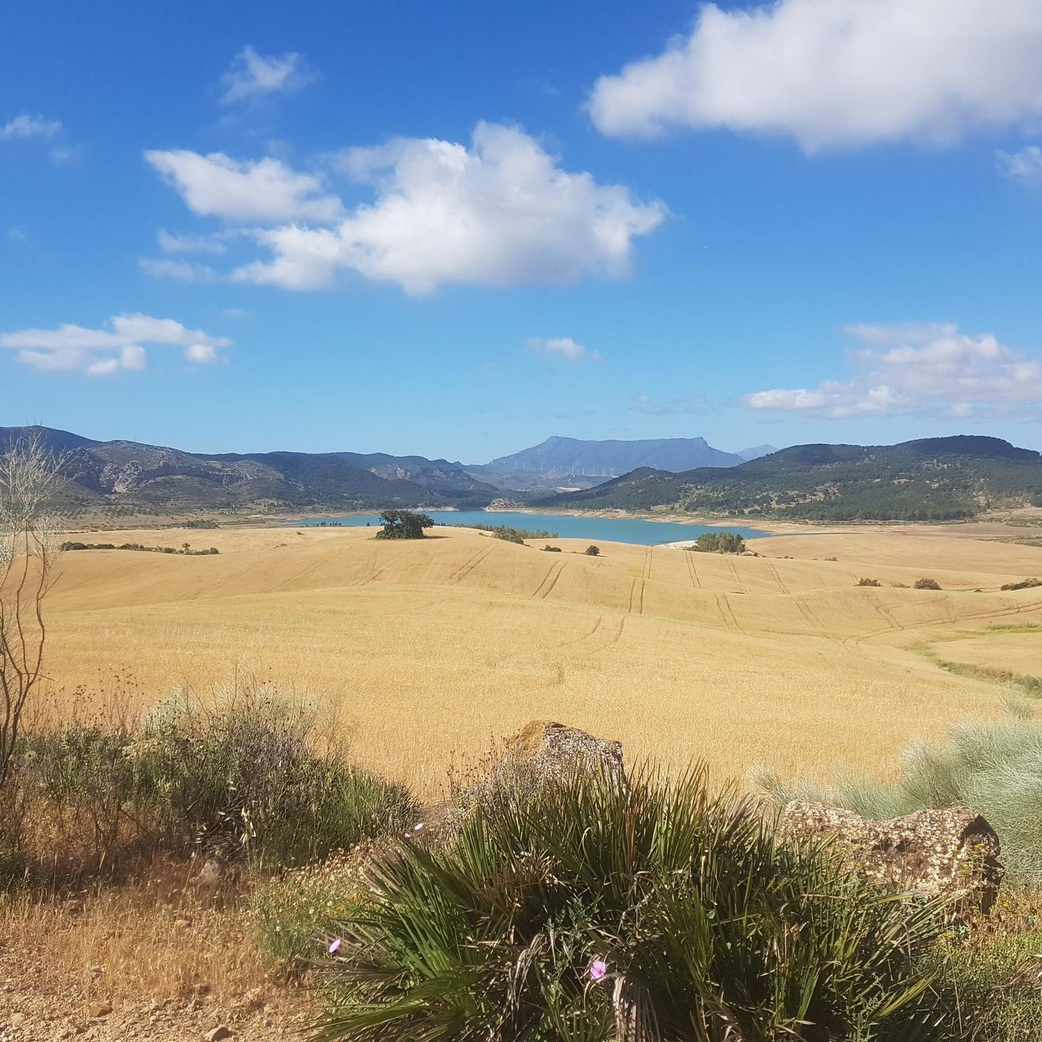
Road cycling around Campillos offers diverse landscapes, characterized by extensive grain fields, olive groves, and rolling hills. The region features varied terrain, from the flat expanses near the Lagunas de Campillos Nature Reserve to more challenging routes with significant elevation gains towards natural parks and reservoirs. Cyclists can explore routes that traverse agricultural land and connect to areas like the Guadalhorce and Guadalteba reservoirs. This area provides a range of road cycling experiences across its natural features.
Best road cycling…
Last updated: July 4, 2026
5.0
(1)
30
riders
80.7km
04:23
1,410m
1,410m
Hard road ride. Very good fitness required. Mostly well-paved surfaces and easy to ride.
33
riders
86.5km
03:42
630m
630m
Moderate road ride. Good fitness required. Some segments of this route may be unpaved and difficult to ride.

Sign up for free
21
riders
121km
06:21
2,130m
2,130m
Hard road ride. Very good fitness required. Some segments of this route may be unpaved and difficult to ride.
19
riders
71.1km
03:04
570m
570m
Moderate road ride. Good fitness required. Mostly well-paved surfaces and easy to ride.
19
riders
61.6km
02:44
560m
560m
Moderate road ride. Good fitness required. Mostly well-paved surfaces and easy to ride.
Get access to more routes and recommendations from other explorers.
Sign up for free
Already have an account?
Our route recommendations are based on thousands of hikes, rides, and runs completed by other people on komoot.
Start today with a free account
Your next adventure awaits.
Login or Signup



Tips from the Community

El puerto de las Abejas is hidden in the mountains of Málaga, but it is a classic among locals. The 2026 Vuelta included it in its route.
0
0

Well-lit tunnel as a shortcut to the start of the Caminito del Rey. A bit low for people 1.90m and taller, otherwise another highlight around the Caminito del Rey. The tunnel is approx. 500m long and you can see the end of the tunnel right from the beginning.
4
0

A beautiful town square featuring a unique mosaic pathway and charming fountains.
0
0

The Conde de Guadalhorce reservoir is nestled in a picturesque mountain landscape near El Chorro and impresses with turquoise water, steep rock faces and tranquil nature, making it a particularly idyllic destination for tours.
1
0
The Laguna de Fuente de Piedra provides an important habitat for large flamingo colonies and is one of the most significant breeding grounds for this bird species in Europe. The shallow salt lagoon offers ideal conditions for the birds, allowing them to be observed there in large numbers, especially during the warmer months.
1
0
Laguna de Fuente de Piedra is home to large flamingo colonies and is considered one of the most important breeding grounds for this bird species in Europe, where they can be observed particularly well in the warmer months.
3
0
The Vicaría Observatory (Mirador) is an official viewpoint at the Fuente de Piedra Lagoon and is one of the most important observation points in the nature reserve. From here, there is a good overview of the shallow salt lagoon.
2
0
Fuente de Piedra is a charming village whose name derives from an ancient spring believed to possess healing powers. The area was already settled in Roman times, and the spring was then referred to as "Fons Divinus." In the Middle Ages, a small settlement grew up around the spring, which later acquired its present name. During the 18th and 19th centuries, Fuente de Piedra was a renowned spa town thanks to its mineral waters, until the spring dried up. Today, the village's name evokes this past, while its history remains closely intertwined with the use and veneration of the water.
1
0
Frequently Asked Questions
What kind of terrain can I expect on road cycling routes around Campillos?
The region around Campillos offers diverse road cycling terrain. You'll find extensive grain fields and olive groves, creating picturesque, serene landscapes. Routes also feature rolling hills and connect to areas like the Guadalhorce and Guadalteba reservoirs, providing varied experiences from moderate rides to challenging routes with significant climbing.
Are there road cycling routes suitable for beginners or those looking for an easier ride?
Yes, while Campillos is known for routes with significant elevation gains, there are options for various fitness levels. The area includes routes that traverse agricultural land and past natural lagoons, which tend to be less demanding. For example, the La Vicaría Observatory – Fuente de Piedra Lagoon loop from Campillos is a moderate 86.1 km trail with 630m of elevation gain, offering a more accessible experience.
What are some of the more challenging road cycling routes in the Campillos area?
For experienced riders seeking a challenge, Campillos offers several difficult routes with substantial climbing. The Caminito del Rey – View of Caminito del Rey loop from Campillos is a 72 km route with over 1,000 meters of elevation gain. Another demanding option is the Caminito del Rey – Entrance bridge to El Burgo loop from Parking Observatorio, which covers 80.7 km with over 1,400 meters of climbing.
What natural features or landmarks can I see along the road cycling routes?
Road cycling routes around Campillos often pass through stunning natural landscapes and near notable landmarks. You can expect to see the extensive Lagunas de Campillos Nature Reserve, known for its wetlands and birdwatching opportunities, including flamingos. Routes also offer views of the Guadalhorce and Guadalteba reservoirs. Some routes provide access to the spectacular Desfiladero de los Gaitanes Natural Park, home to the famous Caminito del Rey and the Desfiladero de los Gaitanes Gorge. You might also encounter the Fuente de Piedra Lagoon.
Are there any circular road cycling routes available?
Yes, many of the road cycling routes around Campillos are designed as loops, allowing you to start and end in the same location. Examples include the Caminito del Rey – View of Caminito del Rey loop from Campillos and the La Vicaría Observatory – Fuente de Piedra Lagoon loop from Campillos. These circular routes offer convenience and a complete scenic experience.
What is the best time of year for road cycling in Campillos?
Campillos is an excellent destination for outdoor activities, including road cycling, for much of the year. The region's climate makes it enjoyable, particularly in spring and autumn when temperatures are milder. Summers can be hot, but early morning rides are still popular. Winters are generally mild, offering pleasant conditions for cycling.
Are there any family-friendly road cycling options in Campillos?
While many road cycling routes in Campillos involve significant distances and elevation, the general area offers varied terrain. For families, consider exploring the flatter sections near the Lagunas de Campillos Nature Reserve, which are surrounded by cereal fields and olive groves. While specific family-friendly road cycling routes are not highlighted in the data, the region's natural beauty provides a pleasant backdrop for less strenuous rides on quieter roads.
What do other road cyclists say about their experience in Campillos?
The road cycling routes in Campillos are highly rated by the komoot community, with an average score of 5.0 stars from several reviews. Cyclists often praise the diverse landscapes, from extensive grain fields and olive groves to the challenging climbs towards natural parks and reservoirs. The well-paved surfaces on many routes also contribute to an enjoyable experience.
Are there cafes or restaurants along the road cycling routes in Campillos?
The region around Campillos features charming towns and villages, and routes often pass through or near these. While specific cafes or restaurants directly on every route are not detailed, you can typically find places to refuel in Campillos itself or in other settlements along longer routes. Planning your stops in advance is recommended for longer excursions.
Is there parking available for cyclists near the starting points of routes?
Yes, for many popular routes, especially those starting from or near towns like Campillos, parking is generally available. For example, the Caminito del Rey – Entrance bridge to El Burgo loop from Parking Observatorio suggests a starting point with parking. It's advisable to check specific route details for recommended parking locations.
Can I reach Campillos or its cycling routes using public transport with my bike?
Public transport options in rural areas like Campillos can be limited, and policies regarding bikes on buses or trains vary. While Campillos is a well-connected town, it's best to check with local transport providers directly for their current regulations on carrying bicycles, especially for longer journeys or specific routes.
Are there any permits required for road cycling in natural parks around Campillos?
Generally, road cycling on public roads within natural parks like Desfiladero de los Gaitanes does not require a specific permit. However, if your route involves entering protected areas or specific attractions like the Caminito del Rey, separate entry tickets or permits may be required for those specific sites. Always check local regulations for any natural parks you plan to cycle through.
What is the longest road cycling route available in Campillos?
For those looking for a longer ride, the View of Canillas de Aceituno – Entrance bridge to El Burgo loop from Campillos is a challenging 121.5 km route with over 2,100 meters of climbing, offering an extensive exploration of the region's diverse landscapes.
Most popular attractions around Campillos

Get inspired with the komoot mobile app


Explore more
Browse the best Road cycling routes in other regions.
