The best walks and hikes around Riego De La Vega
4.6
(45)
307
hikers
40
hikes
Hiking around Riego De La Vega offers diverse terrain within the province of León, Spain, characterized by an average altitude of 814 meters. The region features a network of trails, including paths along the río Órbigo and connections to historical pilgrim routes like the Camino de Santiago. Its natural surroundings are part of the broader Leonese Cantabrian Mountains, known for varied landscapes and rich biodiversity.
Best hiking trails around Riego De La Vega
- The most popular hiking route is Ribera…
Last updated: May 23, 2026
5.0
(1)
2
hikers
5.29km
01:21
20m
20m
Easy hike. Great for any fitness level. Easily-accessible paths. Suitable for all skill levels.
1
hikers
5.18km
01:24
70m
70m
Easy hike. Great for any fitness level. Easily-accessible paths. Suitable for all skill levels.

Sign up for free
3.0
(1)
2
hikers
13.6km
03:26
30m
30m
Moderate hike. Good fitness required. Easily-accessible paths. Suitable for all skill levels.
10.1km
02:34
20m
20m
Moderate hike. Good fitness required. Easily-accessible paths. Suitable for all skill levels.
24.3km
06:17
140m
140m
Hard hike. Very good fitness required. Easily-accessible paths. Suitable for all skill levels.
Get access to more routes and recommendations from other explorers.
Sign up for free
Already have an account?
Our route recommendations are based on thousands of hikes, rides, and runs completed by other people on komoot.
Start today with a free account
Your next adventure awaits.
Login or Signup
Tips from the Community

The Crucero de Santo Toribio is a natural viewpoint located in San Justo de la Vega, about five kilometers before reaching Astorga, León. From this point, you can enjoy a panoramic view of the city of Astorga and the Montes de León. Legend has it that Santo Toribio, bishop of Astorga in the 5th century, stopped at this place when he was forced to leave the city. Looking towards Astorga for the last time, he shook his sandals and exclaimed: "From Astorga, not even the dust." Later, the city named him its patron saint. 🌄⛪
4
1
If you have the opportunity to explore this trail, you will enjoy the natural beauty and ecological richness of the area. Good hike! 🌿🚶♀️
3
1

Great stone cross at the top of the hill leading down to Astorga
3
0

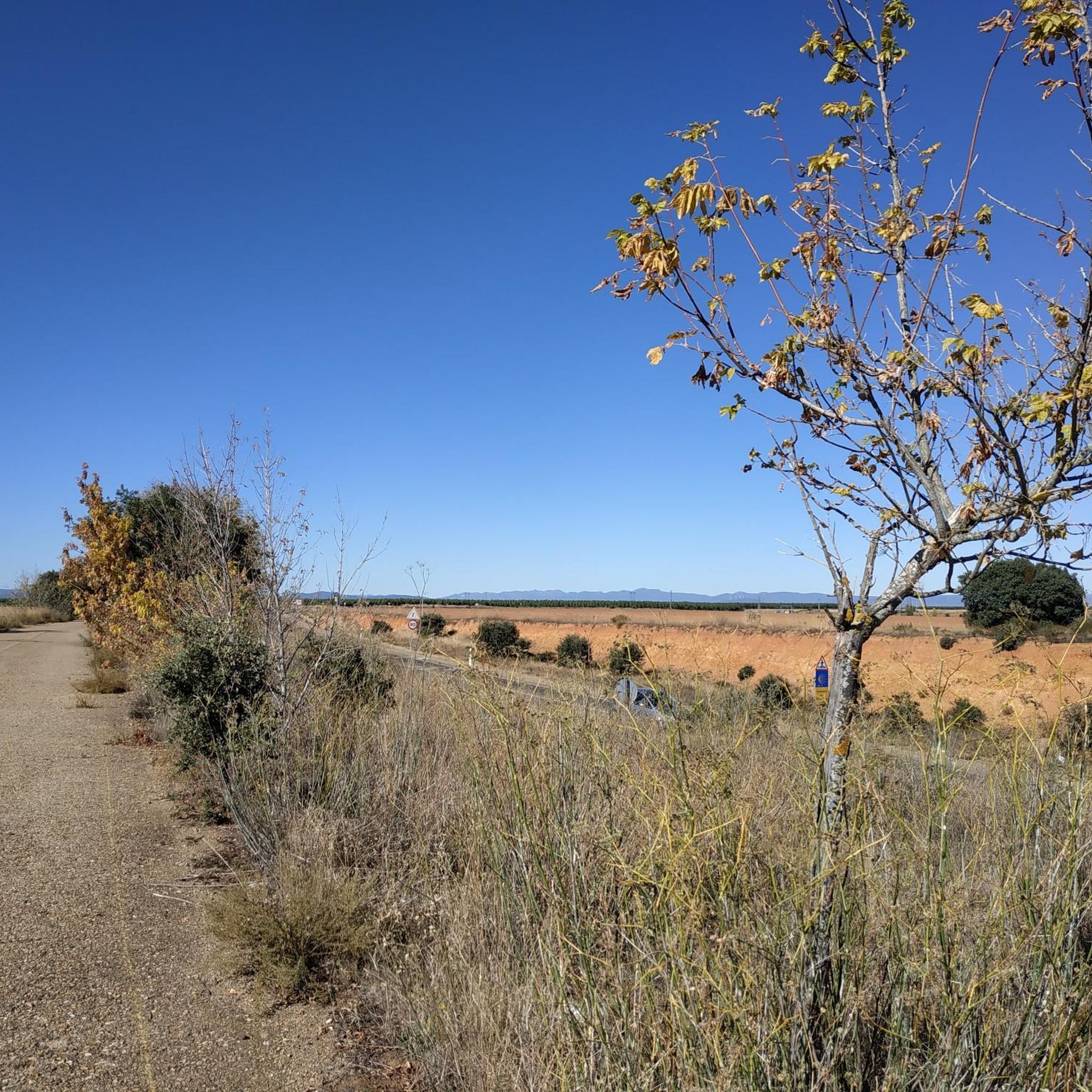
A beautiful stage on the Camino Francés between San Martín del Camino and Astorga.
2
1

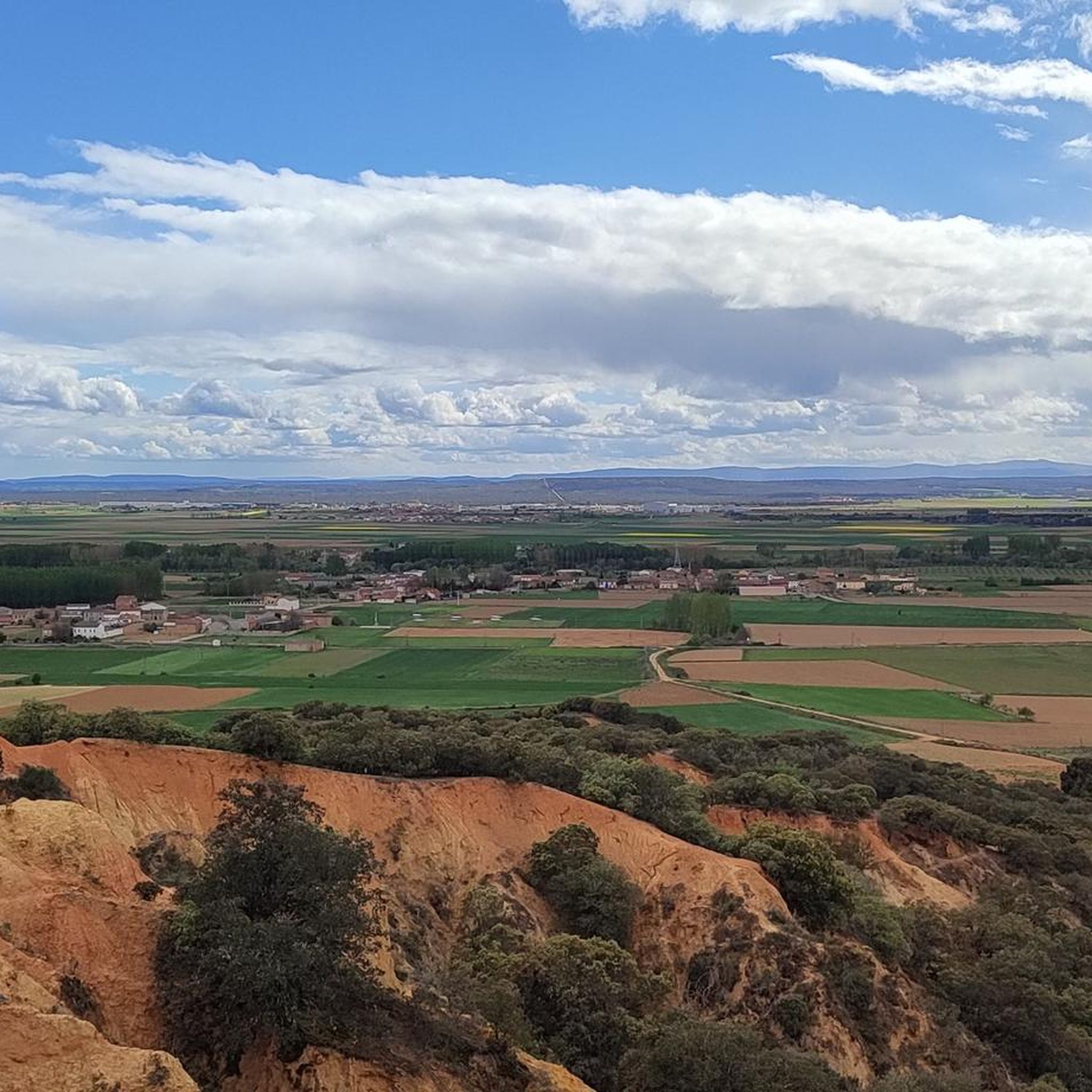
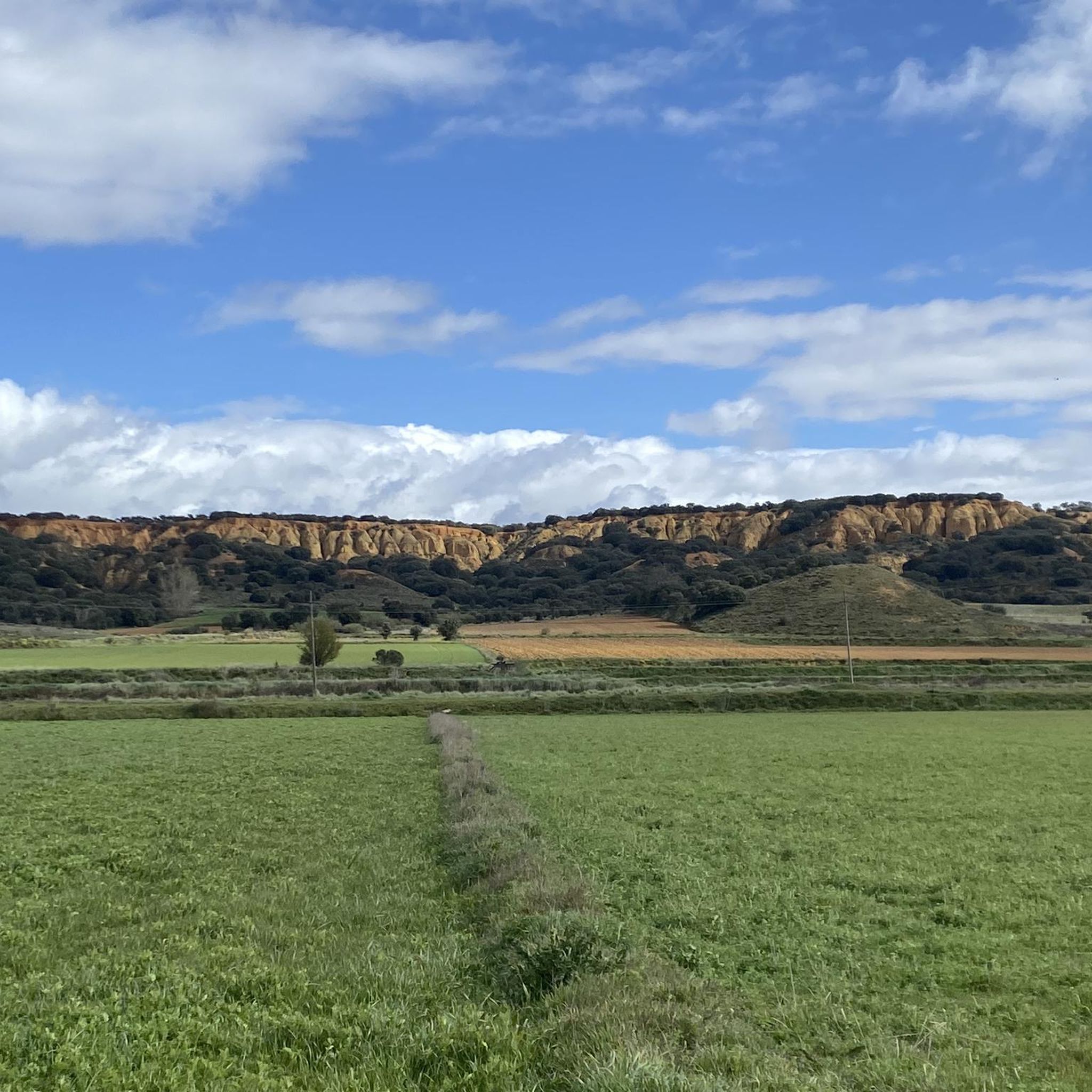
Interesting geological rock formation at the southern end of Torcas de Barrientos. The exposed rock in this natural park has orange and red tones that are used to make bricks for construction.
3
0
Riego de la Vega is a small agricultural town in the Tuerto river basin. The village church is in the center of the village and could be recognized by the tall bell tower.
1
0
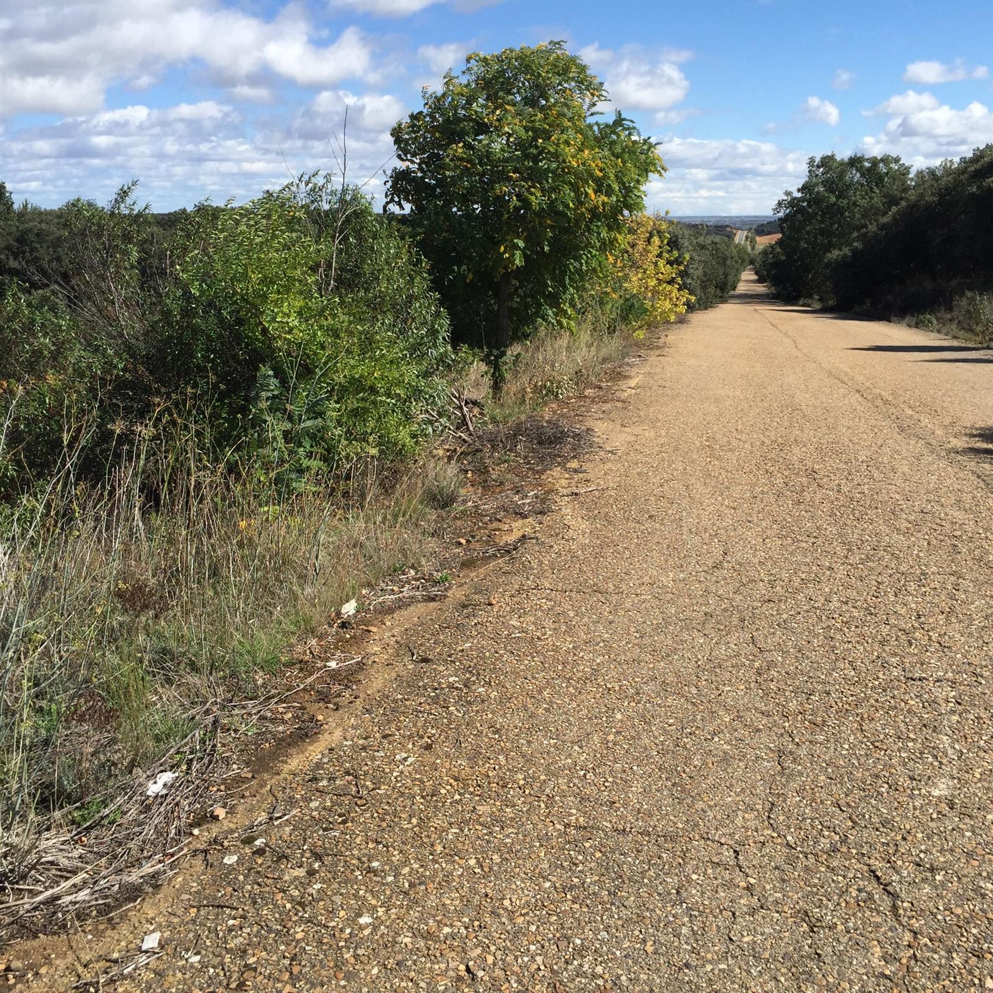
Traveling this old Jacobean and commercial route of the alternative French Way, towards San Justo de la Vega, you are surrounded by nature.
2
1
An incredible natural park next to the Órbigo river, surrounded by a lush green forest on the outskirts of the town of La Bañeza, where the Tuerto river meets the Órbigo.
2
0
Frequently Asked Questions
How many hiking trails are available in Riego De La Vega?
There are nearly 40 hiking trails around Riego De La Vega, offering a wide range of options for different skill levels. You'll find everything from easy riverside strolls to more challenging routes through varied terrain.
What types of terrain can I expect on hikes around Riego De La Vega?
The region offers a diverse natural environment with varied terrain. You can expect riverine paths along the Órbigo river, sections of historical pilgrim routes, and landscapes characteristic of the broader Leonese Cantabrian Mountains, which include areas with rich biodiversity.
Are there any easy hiking trails suitable for beginners or families?
Yes, Riego De La Vega has 14 easy hiking trails. A great option for a gentle walk is the Ribera del río Órbigo – circular desde Soto de la Vega, which is 3.3 miles (5.3 km) long and follows the riverbanks.
Can I find circular hiking routes in the area?
Yes, several circular routes are available. For example, the Santo Toribio Cross and French Way Loop offers an easy 3.2-mile (5.2 km) walk incorporating a section of the historic French Way.
Are there any historical or cultural landmarks along the hiking trails?
Yes, the area is rich in cultural connections. Some routes, like the Santo Toribio Cross and French Way Loop, incorporate sections of the historic Camino de Santiago. Nearby, you can also explore significant sites such as the Cathedral of Saint Mary of Astorga and the Episcopal Palace of Astorga (Gaudí Palace).
What do other hikers enjoy most about hiking in Riego De La Vega?
The hiking routes in Riego De La Vega are highly rated by the komoot community, with an average score of 4.6 stars from over 40 reviews. Hikers often praise the diverse landscapes, the peaceful riverine paths, and the connection to historical pilgrim routes.
Are there any longer or more challenging hikes available?
Yes, for those seeking a longer challenge, the Riego de la Vega from Valderrey — circular by the Torcas de Barrientos is a difficult 15.1-mile (24.3 km) route. There are 4 difficult trails and 20 moderate trails in total.
What is the best time of year to go hiking in Riego De La Vega?
Given its location in the province of León, the spring and autumn months generally offer the most pleasant weather for hiking, with milder temperatures and beautiful natural scenery. Summer can also be suitable, especially in the mornings or late afternoons, but be prepared for warmer conditions.
Are there any specific natural features or viewpoints to look out for?
The region is known for its diverse natural beauty, including riverine landscapes along the Órbigo river. The broader Leonese Cantabrian Mountains, which influence the area, feature outstanding natural beauty with potential for caves, gorges, and birch groves, offering scenic views and rich biodiversity.
Is Riego De La Vega suitable for dog-friendly walks?
While specific dog-friendly designations are not listed for individual trails, many of the natural paths and riverine routes in the area are generally suitable for walks with dogs, provided they are kept under control and local regulations are followed. The easy trails, in particular, can be good options for you and your canine companion.
Where can I find parking for hiking trails in Riego De La Vega?
Specific parking information for individual trailheads is not detailed in the guide. However, as a general rule in rural areas like Riego De La Vega, you can often find parking in or near the starting villages of the routes, such as Soto de la Vega or Valderrey, or at designated spots along main roads.
Are there any routes that combine hiking with historical Roman roads?
Yes, you can explore routes that incorporate ancient paths. The Vía de la Plata and Bazán Castle Loop is an 8.4-mile (13.6 km) trail that follows a section of the historic Vía de la Plata, a Roman road, offering a blend of natural beauty and historical significance.
Most popular attractions around Riego De La Vega

Get inspired with the komoot mobile app


Explore more
Browse the best Hikes in other regions.
