The best road cycling routes around Aladrén
4.0
(1)
155
riders
4
rides
Road cycling routes around Aladrén traverse a diverse landscape within the Campo de Cariñena region of Aragon, Spain. The area features a blend of agricultural fields, extensive vineyards, and dense pine forests, providing varied terrain for cyclists. Situated near the Sierra de Algairén, the region offers significant elevation gains and demanding climbs, making it well-suited for challenging road cycling. These routes often include ascents through mountainous terrain, offering both physical tests and panoramic views.
Best road cycling routes around Aladrén
…Last updated: June 28, 2026
4.0
(1)
89
riders
66.5km
03:28
1,050m
1,050m
Hard road ride. Very good fitness required. Mostly well-paved surfaces and easy to ride.
29
riders
121km
05:53
1,740m
1,740m
Hard road ride. Very good fitness required. Mostly well-paved surfaces and easy to ride.

Sign up for free
14
riders
Moderate road ride. Good fitness required. Mostly well-paved surfaces and easy to ride.
8
riders
62.6km
02:53
770m
770m
Moderate road ride. Good fitness required. Mostly well-paved surfaces and easy to ride.
15
riders
92.7km
04:25
1,180m
1,180m
Hard road ride. Very good fitness required. Mostly well-paved surfaces and easy to ride.
Our route recommendations are based on thousands of hikes, rides, and runs completed by other people on komoot.
Start today with a free account
Your next adventure awaits.
Login or Signup

Tips from the Community

It is the main point of interest of the route. The sanctuary is located at an altitude of about 1,350 m and offers spectacular views of the Iberian Sierras and the Huerva valley. It is one of the most emblematic places in the entire Campo de Daroca region.
0
0

Water fountain at the entrance to the town of Herrera de los Navarros.
0
0
Water source without sanitary guarantees in the town of Luesma. Take advantage of it to cool off as it is an area without major centers.
0
0

The Hermitage of the Virgin of the Eagle in Cerveruela, Zaragoza, is a small sanctuary located in a picturesque natural setting, ideal for activities such as hiking and road cycling. It is located in the Campo de Daroca region, within the Zaragoza Iberian System Natural Park, which gives it remarkable scenic and ecological value.
2
0

The town of Codos is located on the banks of the Grío River, nestled in a primarily agricultural landscape where cherry and peach orchards predominate. In the center of town there is a bar.
1
0
As its name suggests, the town of Langa del Castillo is dominated by the vestiges of a castle located on top of a plateau. Few remains remain of this medieval fortress, although you can see how large it must have been in its time, when its function was to defend the border with the kingdom of Castile.
1
0

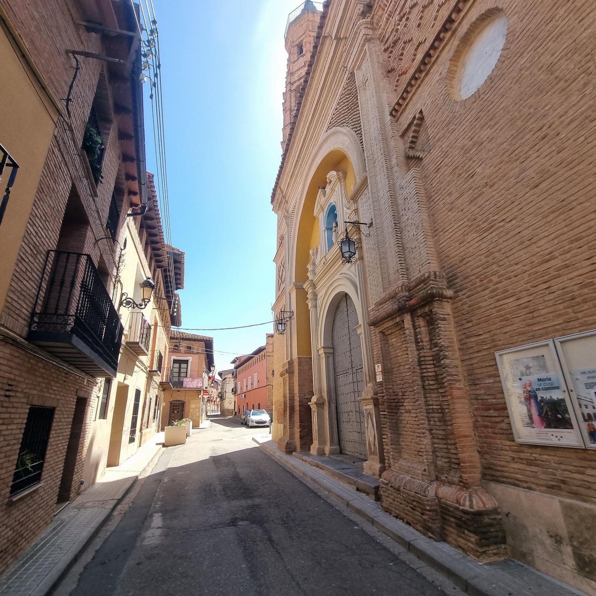
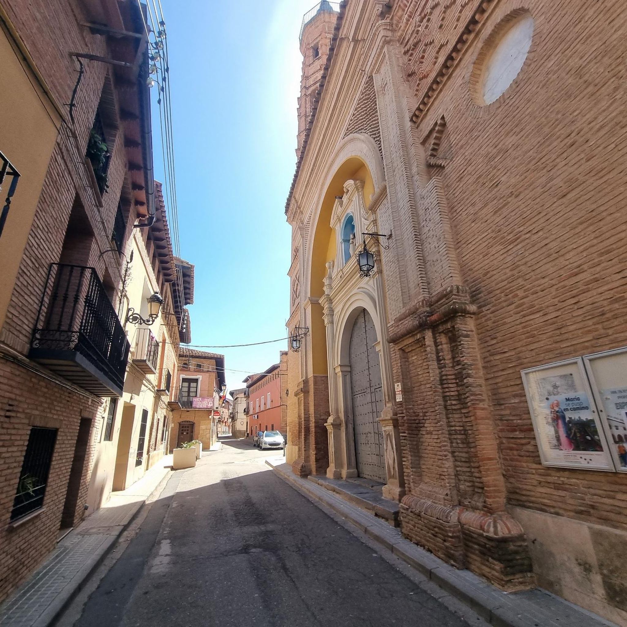
A beautiful town to get lost in located in the south of the province of Zaragoza, popular with hikers and sports lovers because it is the place chosen to start the ascent to the Sanctuary of the Virgin of Herrera.
0
0
Located at an altitude of 1,349 meters, we are in the Sanctuary of the Virgin of Herrera with wonderful views of the Iberian mountains of Zaragoza and Teruel, the Ebro valley and on a good day you can even make out the Pyrenees. Until the Sanctuary, from the town of Herrera de los Navarros, we will cross the wooded slopes of the Sierra de Herrera.
2
0
Frequently Asked Questions
What is the typical terrain like for road cycling around Aladrén?
Road cycling routes around Aladrén traverse a diverse landscape featuring a blend of agricultural fields, extensive vineyards, and dense pine forests. The area is situated within the influence of the Sierra de Algairén, offering varied topography with significant elevation changes and demanding climbs.
Are there challenging climbs for experienced road cyclists in the Aladrén area?
Yes, the region is well-suited for challenging road cycling, with routes featuring significant elevation gains. For example, the Alto de Codos – Hermitage of the Virgin of the Eagle loop from Longares includes challenging ascents, with over 1,600 meters of elevation gain.
What natural features can I expect to see while cycling around Aladrén?
You can expect to cycle through picturesque vineyards, particularly between Aladrén and Paniza, and dense pine forests, such as those found on routes towards the Sierra del Águila. The mountainous terrain of the Sierra de Algairén also provides stunning backdrops.
Are there any notable landmarks or points of interest along the road cycling routes?
Yes, several routes pass by significant landmarks. For instance, the Alto de Codos – Hermitage of the Virgin of the Eagle loop from Longares passes by the Hermitage of the Virgin of the Eagle. You might also encounter the Torcas Reservoir on some routes.
Are there circular road cycling routes available in the Aladrén region?
Yes, the area offers circular routes that lead cyclists through cultivated fields, vineyards, and into pine forests. The Sierra de Herrera Loop is a popular example of a circular route.
What is the best time of year for road cycling in Aladrén?
While specific seasonal data isn't provided, the region's climate generally makes spring and autumn ideal for road cycling. These seasons offer milder temperatures, which are more comfortable for tackling the significant elevation gains found in the area.
Are there any easy or beginner-friendly road cycling routes around Aladrén?
The road cycling routes around Aladrén are primarily designed for experienced cyclists, featuring moderate to difficult grades and significant elevation changes. There are no easy routes listed in this guide, making it more suitable for those seeking a physical challenge.
Can I find long-distance road cycling routes in the Aladrén area?
Absolutely. Many routes in the Aladrén area are long-distance, often exceeding 100 kilometers. For example, the Herrera de los Navarros – Tosos loop from Encinacorba is a 120.6 km trail, offering an extensive ride through varied terrain.
What are the parking options for cyclists in Aladrén?
While specific parking facilities for cyclists in Aladrén are not detailed, as a small town, street parking is generally available. For routes starting from nearby towns like Longares or Encinacorba, parking can typically be found within the village centers.
Is public transport available to access road cycling routes around Aladrén?
Public transport options directly to Aladrén are limited. Cyclists typically access the routes by car, often starting from Aladrén itself or other nearby towns in the Campo de Cariñena region. It's advisable to check local bus schedules for connections to larger towns if relying on public transport.
Are there any routes that feature waterfalls or reservoirs?
Yes, you can find routes that include water features. The Muel Waterfalls – Muel Waterfall loop from Arañales de Muel is an example of a route that highlights waterfalls. Additionally, the Torcas Reservoir is a notable point of interest in the region.
What do other road cyclists enjoy most about road cycling in Aladrén?
Road cyclists frequently praise the diverse and scenic landscapes, particularly the blend of vineyards, pine forests, and mountainous terrain. The challenging climbs and significant elevation gains are also a major draw for those seeking a rewarding physical test.
Most popular routes around Aladrén
Most popular attractions around Aladrén

Get inspired with the komoot mobile app


Explore more
Browse the best Road cycling routes in other regions.
