The best walks and hikes around Herrera De Los Navarros
4.7
(4)
24
hikers
8
hikes
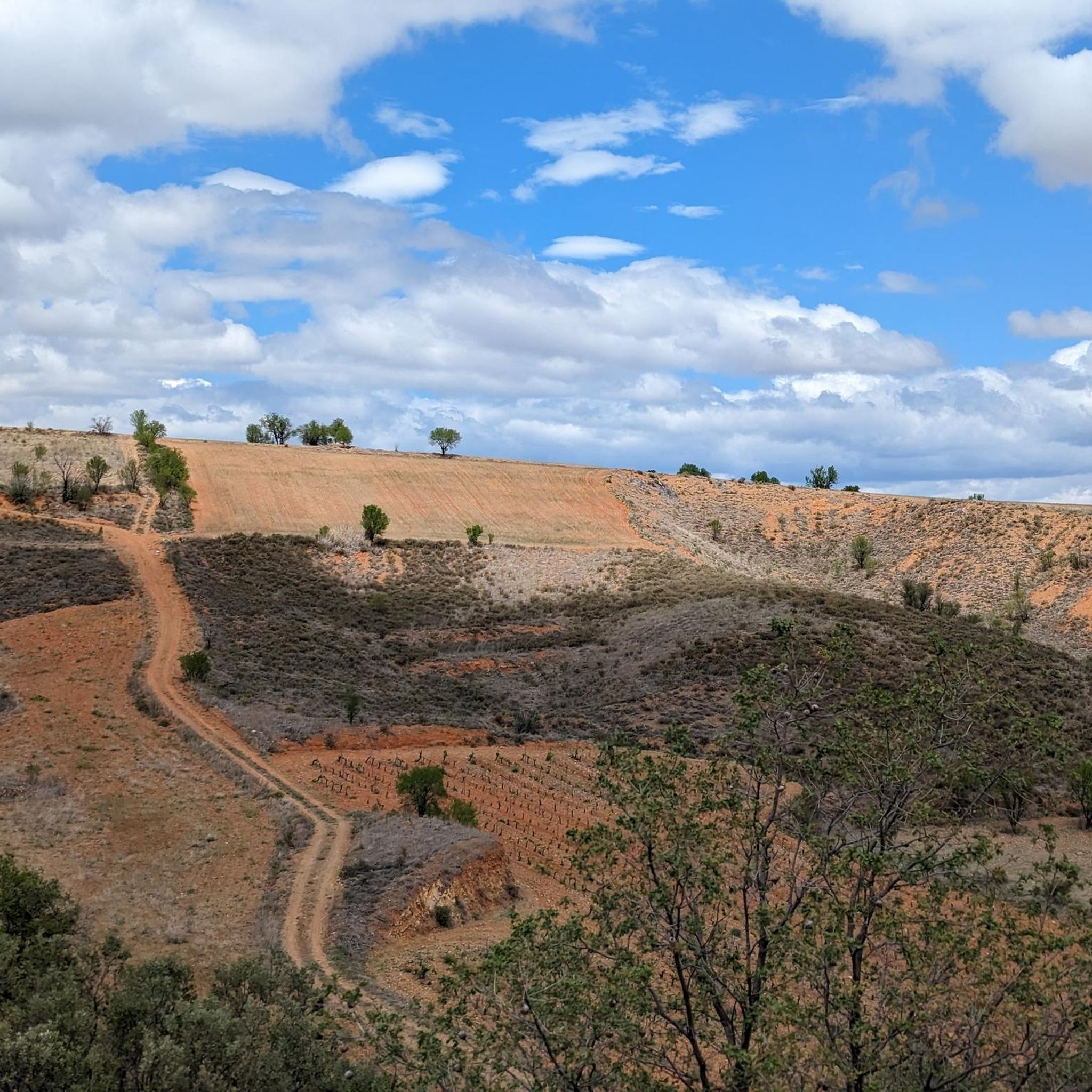
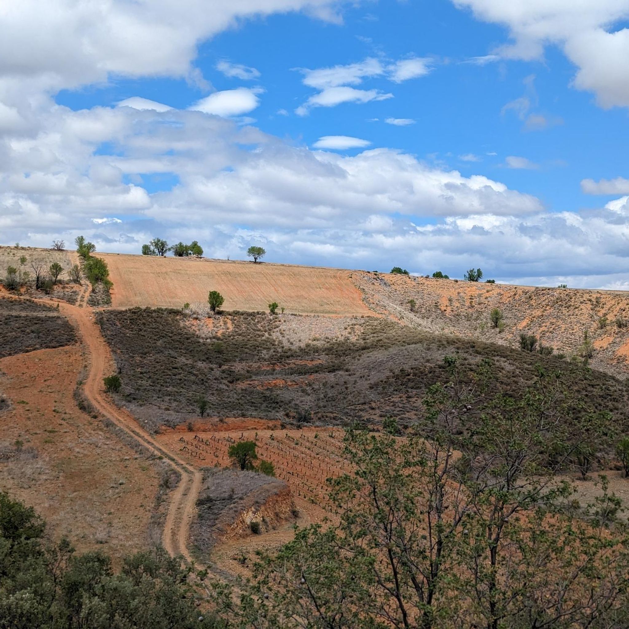
Hiking around Herrera De Los Navarros explores a landscape characterized by rolling hills and river valleys, notably the Huerva River. The terrain offers a mix of open country and areas with varied vegetation. Elevation changes are present, providing diverse hiking experiences. The region's geology contributes to its distinct natural features.
Best hiking trails around Herrera De Los Navarros
- The most popular hiking route is Hoces del Río Huerva from Vistabella, a 12.1 miles (19.4 km) trail that takes 5…
Last updated: July 7, 2026
1
hikers
19.4km
05:11
210m
210m
Hard hike. Very good fitness required. Easily-accessible paths. Suitable for all skill levels.
16.0km
04:50
530m
530m
Hike the moderate PR-Z 25 Circular Route of Herrera de los Navarros, covering 9.9 miles with panoramic views and a historic sanctuary.

Sign up for free
1
hikers
14.6km
04:26
510m
510m
Moderate hike. Good fitness required. Easily-accessible paths. Suitable for all skill levels.
2
hikers
7.89km
02:17
190m
190m
Moderate hike. Good fitness required. Easily-accessible paths. Suitable for all skill levels.
4
hikers
Moderate hike. Good fitness required. Easily-accessible paths. Suitable for all skill levels.
Get access to more routes and recommendations from other explorers.
Sign up for free
Already have an account?
Our route recommendations are based on thousands of hikes, rides, and runs completed by other people on komoot.
Start today with a free account
Your next adventure awaits.
Login or Signup
Popular around Herrera De Los Navarros
Tips from the Community

Water fountain at the entrance to the town of Herrera de los Navarros.
0
0

Beautiful views that bicycle lovers who decide to ride along the paths of the Sierra de Cucalón and Oriche in the Jiloca region will enjoy.
1
0
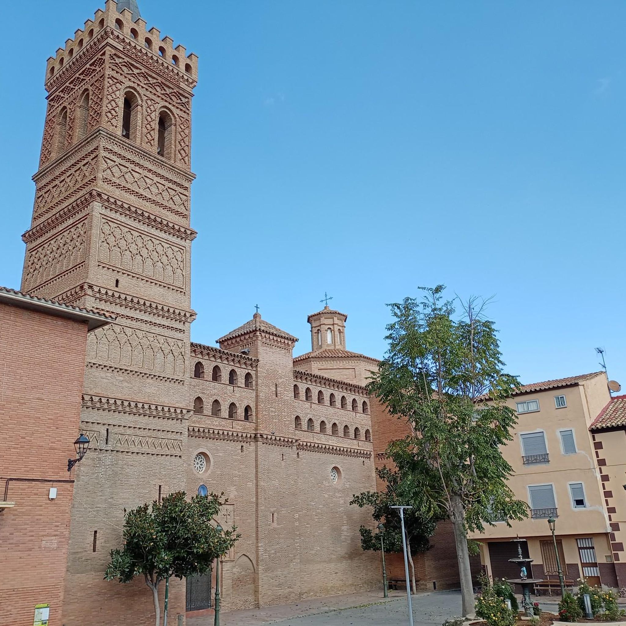
A beautiful town to get lost in located in the south of the province of Zaragoza, popular with hikers and sports lovers because it is the place chosen to start the ascent to the Sanctuary of the Virgin of Herrera.
0
0
Located at an altitude of 1,349 meters, we are in the Sanctuary of the Virgin of Herrera with wonderful views of the Iberian mountains of Zaragoza and Teruel, the Ebro valley and on a good day you can even make out the Pyrenees. Until the Sanctuary, from the town of Herrera de los Navarros, we will cross the wooded slopes of the Sierra de Herrera.
2
0

The hermitage was erected 500 years ago in the place where, according to tradition, the Virgin appeared to Martín, a charcoal burner from the town who was in the mountains carrying out his work. The paved road ends at the sanctuary itself, so its traffic is limited.
12
0
A beautiful town to get lost in located in the south of the province of Zaragoza, popular with hikers and sports lovers because it is the place chosen to start the ascent to the Sanctuary of the Virgin of Herrera.
2
0
eye! Nice but at the same time complicated "trunk" bridge that we find on our route. Of course, there is a rope that will help us cross it
2
0
Beautiful weir of the Huerva river that gives us a small waterfall in the middle of nature.
2
0
Frequently Asked Questions
How many hiking trails are available around Herrera De Los Navarros?
There are 6 hiking routes available around Herrera De Los Navarros, offering a range of experiences from moderate to difficult. These trails explore the local landscape, including river paths and open countryside.
Are there any easy or beginner-friendly hikes in the area?
While there are no routes explicitly classified as 'easy' in our current selection, the region offers 5 moderate trails. These routes provide a good balance of challenge and accessibility for those with some hiking experience. For example, the La Regüelta el Trago – Hermitage of the Virgin of the Eagle loop from Paniza is a moderate 9.4-mile (15.1 km) hike that offers varied terrain without extreme difficulty.
What kind of scenery can I expect on the hiking trails?
Hiking around Herrera De Los Navarros features a landscape of rolling hills and river valleys, most notably the Huerva River. You'll encounter a mix of open country and areas with diverse vegetation, providing varied natural beauty. The region's geology also contributes to its distinct natural features.
Are there any circular hiking routes?
Yes, there are several circular routes available. A popular option is the PR-Z 25: Circular Route of Herrera de los Navarros, a moderate 9.9-mile (16.0 km) path that offers an extensive exploration of the local area. Another circular option is the Log Bridge of the Huerva River – Herrera de los Navarros loop from Herrera de los Navarros.
What are the elevation changes like on the trails?
The trails around Herrera De Los Navarros feature moderate ascents and descents. For instance, the Ascent to the Herrera de los Navarros Hermitage (PR-Z 25) involves an elevation gain of over 500 meters (1,640 feet) over its 9.1-mile (14.6 km) length, providing a good workout with rewarding views.
What interesting landmarks or attractions can I see along the hiking trails?
Several trails lead to or pass by notable landmarks. You can visit the Hermitage of the Virgin of the Eagle or the Sanctuary of the Virgin of Herrera. The town of Herrera de los Navarros itself is a point of interest, and the Moyuela watering trough offers a glimpse into local heritage.
What do other hikers say about the trails in Herrera De Los Navarros?
The trails in Herrera De Los Navarros are highly regarded by the komoot community, holding an average rating of 4.3 stars. Hikers often praise the varied terrain, the scenic river paths, and the opportunities for exploration within the local area.
Is Herrera De Los Navarros suitable for family hikes?
The region offers moderate trails that can be suitable for families with some hiking experience. While specific 'family-friendly' designations are not provided, the moderate routes, with their varied terrain and points of interest, can be enjoyable for active families. Consider the distances and elevation gains when choosing a route for children.
Can I hike with my dog in Herrera De Los Navarros?
Many trails in the Herrera De Los Navarros region are generally dog-friendly, especially those in open countryside. However, it's always advisable to keep dogs on a leash, particularly near livestock or in protected natural areas. Ensure you carry enough water for both yourself and your dog, as water sources may be limited on some routes.
What is the best time of year to hike in Herrera De Los Navarros?
Spring and autumn are generally the most pleasant seasons for hiking in Herrera De Los Navarros. Temperatures are milder, and the landscape is vibrant. Summer can be very hot, so early morning or late afternoon hikes are recommended if visiting during this period. Winter offers a different experience, but trails may be colder and potentially muddy.
Are there good parking options near the trailheads?
Information on specific parking facilities for each trailhead is often available on individual route pages on komoot. Generally, in rural areas like Herrera De Los Navarros, you can find parking in or near the starting villages for the trails. It's recommended to check the route details before you go.
Are there any challenging hikes for experienced hikers?
Yes, for experienced hikers seeking a challenge, the Hoces del Río Huerva from Vistabella is classified as a difficult route. This 12.1-mile (19.4 km) trail follows the Huerva River and features varied terrain, taking approximately 5 hours and 10 minutes to complete.
Most popular routes around Herrera De Los Navarros
Most popular attractions around Herrera De Los Navarros

Get inspired with the komoot mobile app


Explore more
Browse the best Hikes in other regions.
