The best running trails around Siedener Moor
4.6
(21)
356
runners
66
runs
Jogging around Siedener Moor offers access to a vast 825-hectare high moorland nature reserve in Lower Saxony. The area features diverse moorland ecosystems, including untouched sections and regenerating peat areas. Peripheral zones transition into grasslands and woodlands, providing varied terrain for running. Paths and routes are generally accessible, catering to different fitness levels within this protected natural environment.
Best jogging routes around Siedener Moor
- The most popular jogging route is Running loop from Maasen, a 4.9 miles (7.9 km)…
Last updated: October 4, 2026
5.0
(1)
3
runners
7.90km
00:50
20m
20m
Moderate run. Good fitness required. Mostly paved surfaces. Suitable for all skill levels.
5
runners
5.61km
00:35
10m
10m
Moderate run. Good fitness required. Mostly paved surfaces. Suitable for all skill levels.

2
runners
5.31km
00:33
20m
20m
Moderate run. Good fitness required. Mostly paved surfaces. Suitable for all skill levels.
4.5
(2)
7
runners
Moderate run. Good fitness required. Mostly paved surfaces. Suitable for all skill levels.
3
runners
Moderate run. Good fitness required. Mostly paved surfaces. Suitable for all skill levels.
Get access to more routes and recommendations from other explorers.
Already have an account?
Our route recommendations are based on thousands of hikes, rides, and runs completed by other people on komoot.
Start today with a free account
Your next adventure awaits.
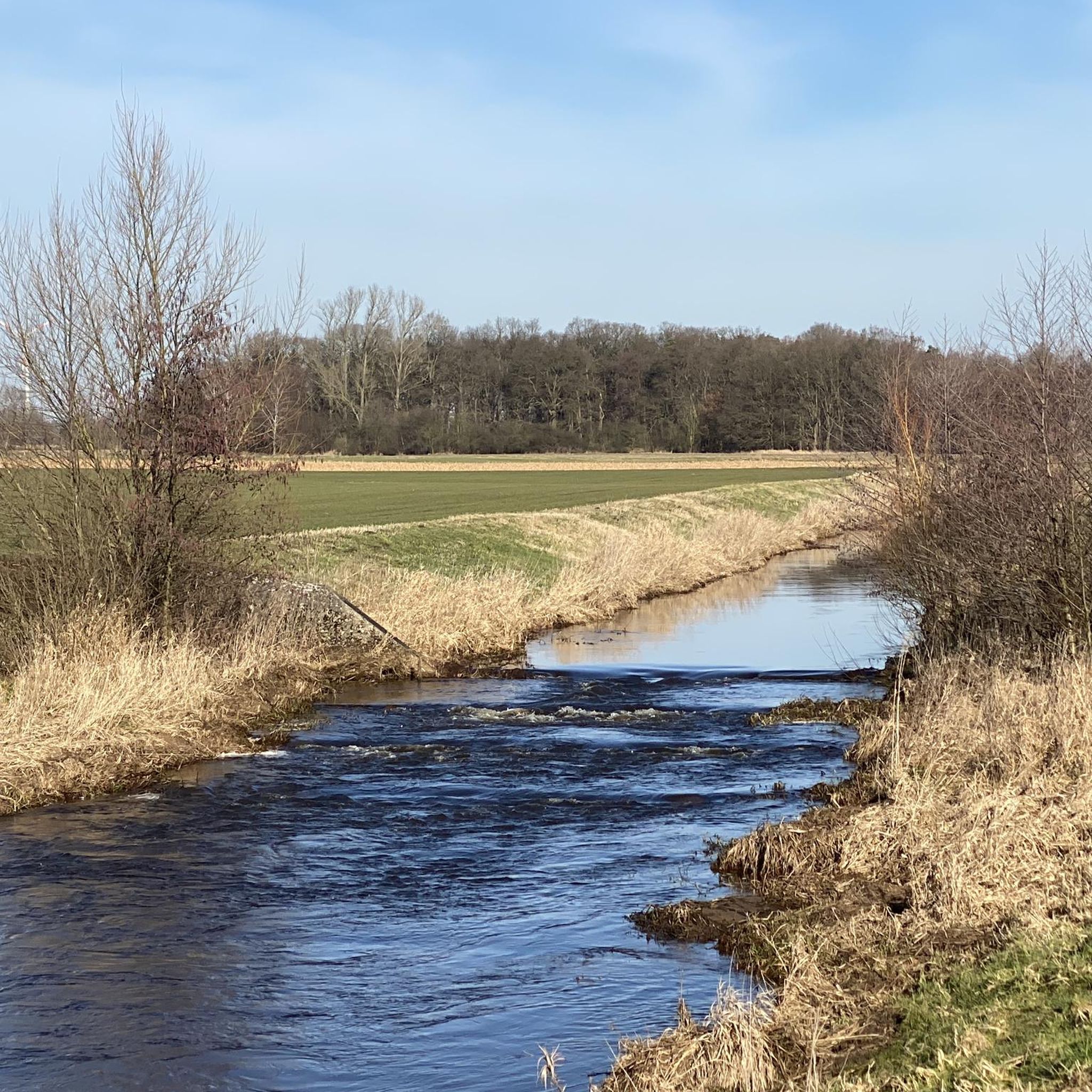
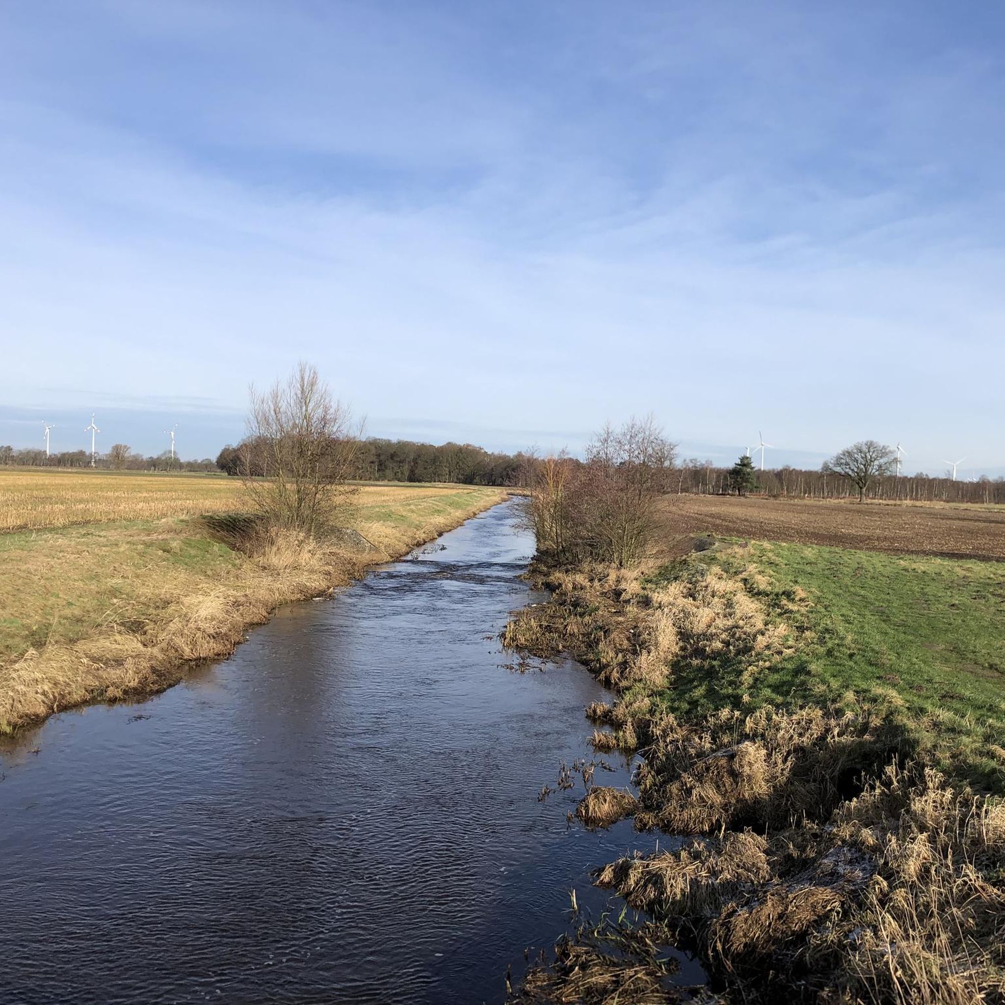
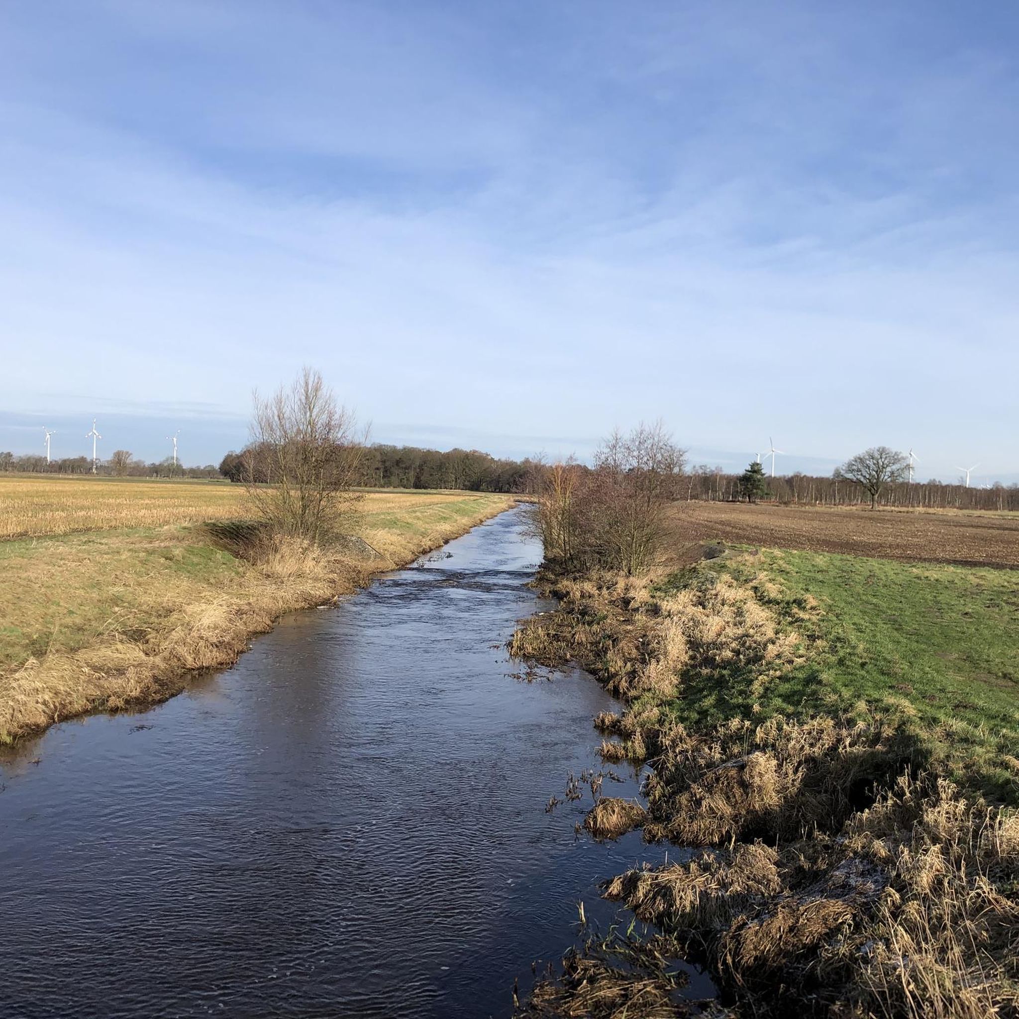
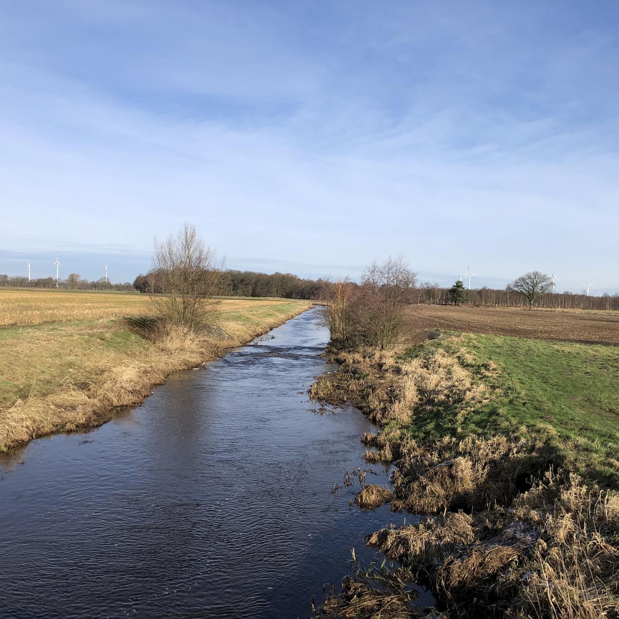
Tips from the Community

Nice place to make a stopover 👍
1
0

A "highlight" of the Kirchdorfer-/Kuppendorfer Heide-Rund; you have to do it ;-).
1
0

The little detour is well worth it
1
0

Local recreation area with Franzosenstein – 86 m above sea level.
1
0

Here, the hiking car park on the heath invites you to the starting point for a tour through the heath. In addition to the wildlife on the heath, there is the nearby Knickberg with a height of 85m to discover.
1
0
Nice covered rest area on the heath. Ideal for a break, you can sometimes watch deer grazing. There is also a hiking trail that invites you to take a short walk.
1
0
Little info from the internet: The Frenchman's Stone Today it is still called “Franzosenstein”, the one meter high sandstone column on the highest point in the community of Kirchdorf. This relic from the past always puzzles visitors. The following is recorded in the Kirchdorf community archive: Kirchdorf, which belonged to the Uchte district under Hessian administration, came under French rule in 1803. Under the direction of Colonel Epailly, survey officers erected a twelve meter high tower. At this point a first order triangle network (“Canevas die Triangles du Ier ordere executes par M. Epailly”). From here the following main points were recorded: the church towers of Twistringen and Asendorf, the signal towers on the Mordkulenberg west of the Dümmer in the Dammer Mountains (141 m above sea level), on the Hüttenberg in Grinderwald (101 m above sea level), a mountain near Loccum and the Knickberg (86 m above sea level). At the same time, French observers were able to monitor events in all directions. In 1813, after the French era, Kirchdorf fell back to Hesse and the twelve meter high tower was destroyed. In 1814, Prince Regent George of Hanover and England elevated his electorate to a kingdom, including the Hessian territories. In 1816, King George IV ordered the extension of triangulation to the entire Kingdom of Hanover. Under the direction of C. F. Gauß, the survey work also began on the Knickberg, for which he had a stone built with a pedestal and a slab on top, which fell victim to deliberate destruction. As a replacement, a one meter high sandstone pillar was erected with the carved inscription “Königl. Hann. Country. Surveying.”. This stone still stands on the Knickberg today, which is incorrectly referred to as the “Franzosenstein”. Perhaps arbitrarily by the Prussians who annexed Hanover in 1866 after the Battle of Langensalza. In 1886/87, as part of the Prussian survey, Prussian surveying officers built a wooden tower on a stone foundation at this point, which was then called the French Tower. After about 25 years, this too disappeared. In 1919 the decree came that no more towers should be erected. Today's visitor is no longer able to look out from all sides of the Knickberg. He is in the middle of the forest, where a bench invites him to rest. Not far from the supposed “French stone” there has been an embedded square stone with a cross for years, the so-called “trigonometric point”, which serves as a survey point for our land registry office for the height of the Knickberg (86 m above sea level).
1
0

The Kirchdorfer Heide, one of the largest contiguous heath areas in Lower Saxony. A riding and hiking paradise where time seems to stand still. Whether on foot, by bike, on horseback or even in a carriage, you can quickly forget everyday life here. Enjoy the sight of the violet seas of flowers from around the beginning of August to the beginning of September. The visit remains unforgotten when a herd of Schnucken with shepherds and herding dogs crosses the path. https://www.kirchdorf.de/portal/seiten/kirchdorfer-heide-mit-franzosenstein-900000167-21900.html
2
0
Frequently Asked Questions
How many running routes are available in Siedener Moor?
Siedener Moor offers a wide selection of running routes, with over 70 trails recorded on komoot. These range from easy strolls to more challenging runs, catering to various fitness levels.
What kind of terrain can I expect when jogging in Siedener Moor?
The terrain in Siedener Moor is primarily characterized by diverse moorland ecosystems, including untouched high moor areas and regenerating peat sections. You'll also find peripheral grasslands and woodlands, offering varied surfaces for your run. The routes generally have minimal elevation gain, making them suitable for most runners.
Are there easy running routes suitable for beginners or casual joggers?
Yes, Siedener Moor has several easy running routes perfect for beginners or those looking for a relaxed jog. Out of the 74 routes available, 8 are classified as easy, providing accessible paths through the natural landscape.
What are some notable natural features or landmarks to look out for while running?
Siedener Moor is a protected high moorland, so you'll encounter unique flora like cotton grass, sundew, and various peat mosses. The area also features rewetting wetland habitats and peripheral woodlands. Keep an eye out for diverse wildlife, including mosaic darners, moor frogs, and various bird species. While specific landmarks are few, the natural beauty of the moor itself is the main attraction.
Is Siedener Moor suitable for family-friendly jogging or running with children?
Yes, many of the routes in Siedener Moor are suitable for families. The generally flat and accessible paths, especially the easier ones, make it a great place for children to enjoy a run or walk in nature. The diverse ecosystems also offer educational opportunities to observe local wildlife and plants.
Are dogs allowed on the running trails in Siedener Moor?
Siedener Moor is a nature reserve, and while specific rules for dogs can vary, generally, dogs are welcome on trails but should be kept on a leash to protect the sensitive moorland ecosystem and its wildlife. Always check local signage for any specific restrictions.
What is the best time of year to go running in Siedener Moor?
Siedener Moor offers a unique experience year-round. Spring and autumn provide pleasant temperatures and vibrant colors, while summer allows for longer daylight hours. Winter can be beautiful, but trails might be wet or icy, so appropriate gear is essential. The best time largely depends on your preference for weather and trail conditions.
What do other runners say about their experience in Siedener Moor?
The running routes in Siedener Moor are highly rated by the komoot community, with an average score of 4.8 stars from over 15 reviews. Runners often praise the tranquil atmosphere, the unique moorland scenery, and the well-maintained, accessible paths that make for an enjoyable outdoor experience.
Are there any circular running routes in Siedener Moor?
Yes, many of the running routes in Siedener Moor are designed as circular loops, allowing you to start and finish at the same point. Examples include the popular Running loop from Maasen and the Running loop from Samtgemeinde Siedenburg, which offer convenient ways to explore the area.
Is there parking available near the running trails in Siedener Moor?
While specific parking areas are not detailed for every route, as a popular outdoor destination, there are typically designated parking spots at common trailheads or access points around the Siedener Moor region. It's advisable to check the starting point of your chosen route on komoot for specific parking information.
How accessible is Siedener Moor by public transport for runners?
Access to Siedener Moor by public transport can be limited, as it is a rural nature reserve. While some larger towns nearby might have bus connections, reaching specific trailheads often requires a car. Planning your route in advance and checking local bus schedules for the nearest villages is recommended.
Are there any cafes or restaurants near the running routes in Siedener Moor?
Siedener Moor is a natural reserve, so amenities directly on the trails are scarce. However, you can find cafes, pubs, and restaurants in the surrounding villages and towns like Siedenburg, Maasen, or Diepholz, which are usually a short drive from the moor's access points. These can be great for a post-run refreshment.
Most popular routes around Siedener Moor

Get inspired with the komoot mobile app


Explore more
Browse the best Running Trails & Routes in other regions.
