The best road cycling routes around Berrocal De Salvatierra
4.7
(12)
485
riders
49
rides
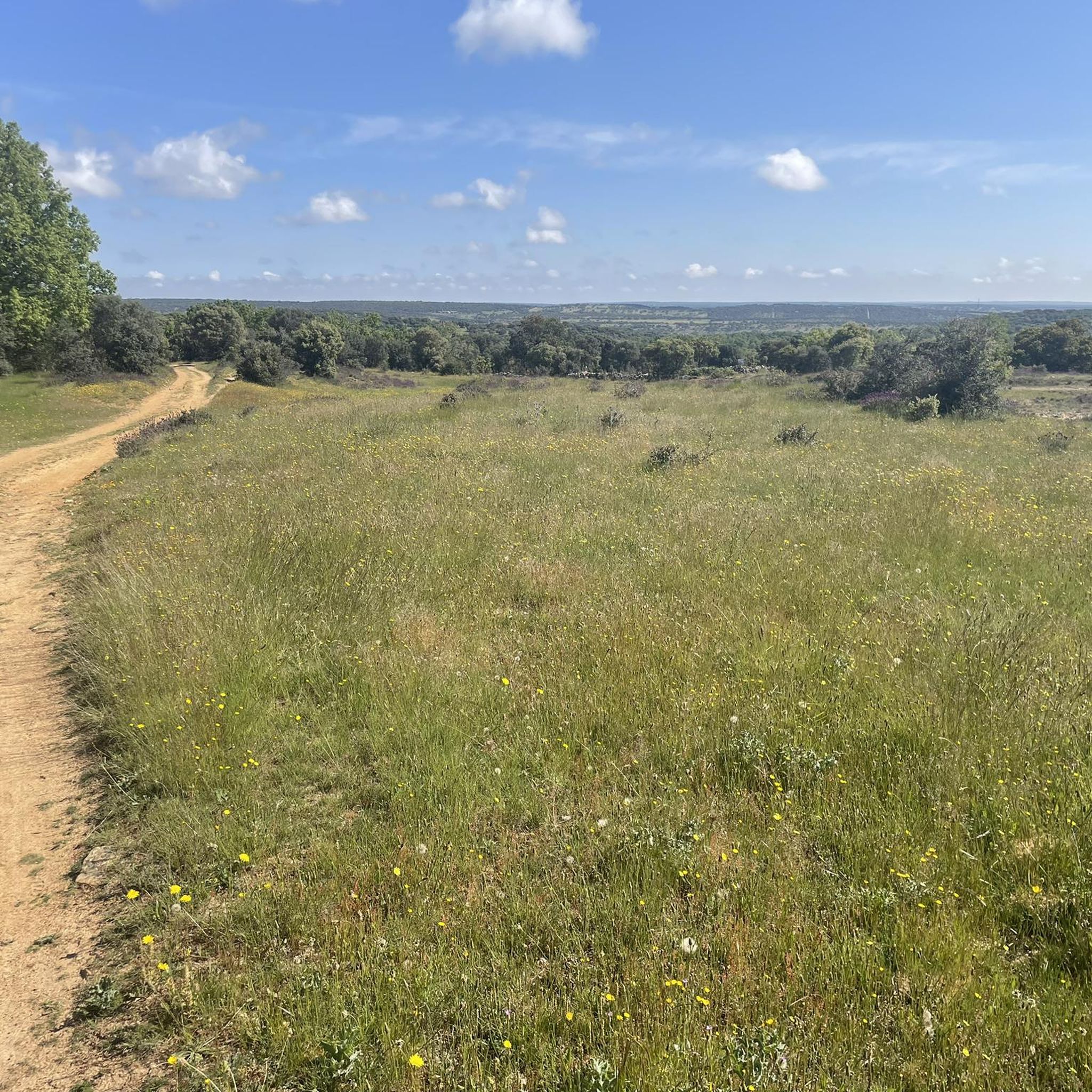
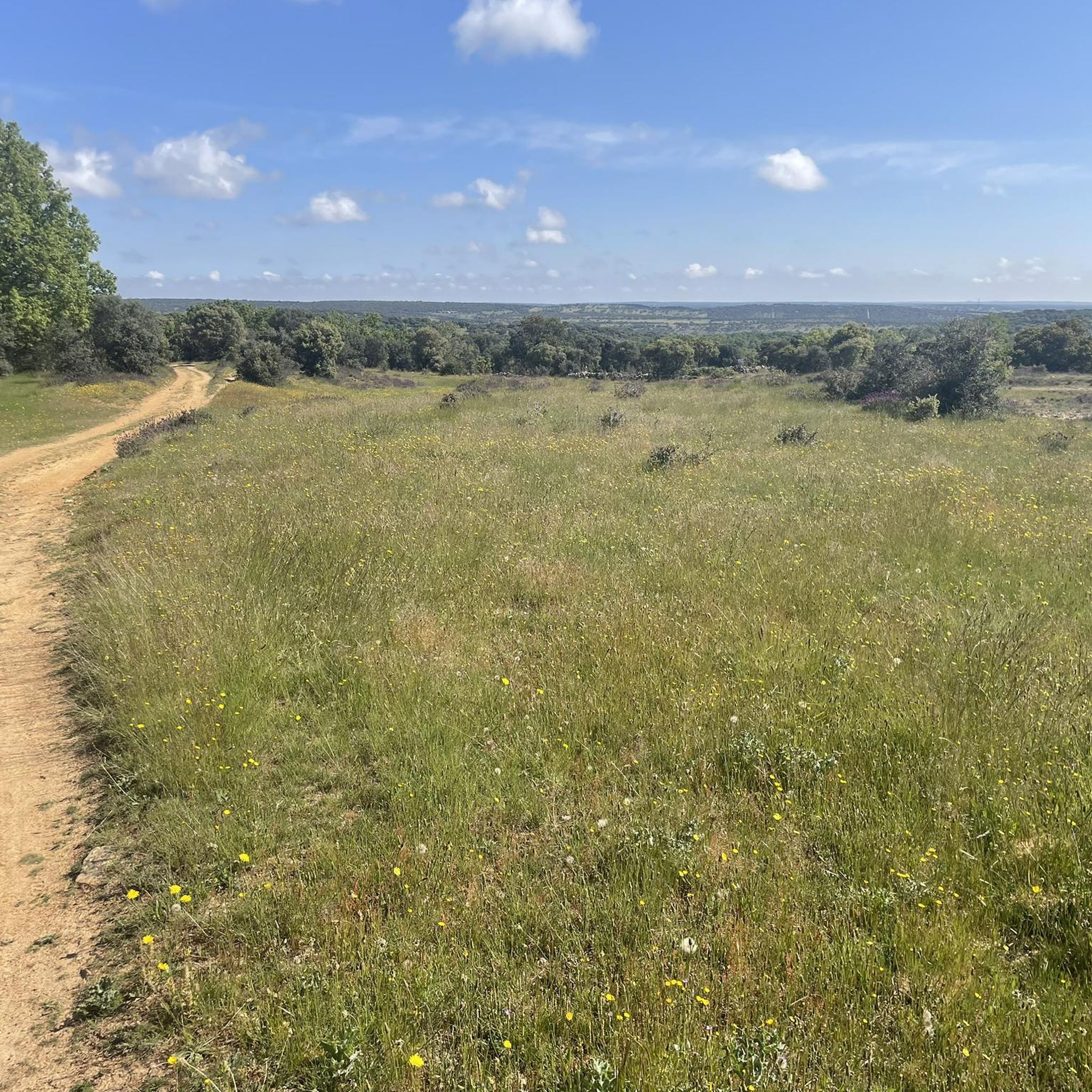
Road cycling routes around Berrocal De Salvatierra traverse a landscape characterized by its elevated position, approximately 2,953 feet (900 meters) above sea level, offering varied ascents and descents. The region is situated within the dehesas del sur de Salamanca and near the Sierras de Béjar and Francia, featuring gently undulating terrain, traditional fields, and forested areas. This environment provides a mix of challenging climbs and picturesque stretches for road cyclists. The area's quiet roads, such as the Cuesta a Frades…
Last updated: July 11, 2026
1
riders
Moderate road ride. Good fitness required. Some segments of this route may be unpaved and difficult to ride.
71.5km
03:31
1,080m
1,080m
This difficult 44.4-mile road cycling route from Guijuelo features significant climbs, scenic views, and the Embalse de Santa Teresa.

Sign up for free
68
riders
99.5km
04:55
1,270m
1,270m
Hard road ride. Very good fitness required. Some segments of this route may be unpaved and difficult to ride.
43
riders
62.2km
02:52
780m
780m
Moderate road ride. Good fitness required. Mostly well-paved surfaces and easy to ride.
5.0
(3)
30
riders
71.8km
03:40
1,160m
1,160m
Hard road ride. Very good fitness required. Mostly well-paved surfaces and easy to ride.
Get access to more routes and recommendations from other explorers.
Sign up for free
Already have an account?
Our route recommendations are based on thousands of hikes, rides, and runs completed by other people on komoot.
Start today with a free account
Your next adventure awaits.
Login or Signup
Popular around Berrocal De Salvatierra
Tips from the Community

On the SA-205 highway, just outside San Esteban de la Sierra heading towards Santibáñez de la Sierra, you'll find the entrance to the Sierra Viewpoints Route, which includes several spectacular panoramic viewpoints. Views: The Alagón River Valley and its meanders. The Sierra de Francia mountain range with the Peña de Francia peak in the background. The Sierra de Béjar mountain range and the Las Quilamas Natural Area. This viewpoint is a magnificent natural balcony, perfect for photography and birdwatching (vultures, eagles, black storks).
2
0
This is the tourist and gastronomic area of Guijuelo, considered the birthplace of acorn-fed Iberian ham with Protected Designation of Origin (PDO Guijuelo). More than 150 ham and cured meat producers are concentrated here. The cold, dry climate of the Sierra de Béjar favors a slow, natural curing process, giving the ham a sweeter, more unctuous flavor.
3
0
It is the only granite theme park in Spain, created to pay homage to the quarrying tradition of the municipality. It occupies a former quarry transformed into an artistic and natural space. Monumental sculptures made from granite blocks by the Salamanca artist Amable Diego. Recreations that evoke menhirs, dolmens, and megalithic structures, including the famous "Salamanca Stonehenge." Explanatory panels on the history of quarrying, from Roman roads to modern industry.
6
0

Right at the top of the town of El Mirón there is a hill with an old tower/castle from past times that offers impressive views of the town and the area as a whole.
1
0

The climb up this narrow valley is a delight, especially on days when there is not much traffic. The views, the sounds of nature, the vegetation, the aromas of rockroses and other wild flowers allow us to almost forget that we are going uphill for a good part of the journey :-D
0
0
Pretty town in the Sierra Salamanca, which also has a theme park dedicated to granite from which there are quarries.
0
0

From this place you can see San Esteban de la Sierra and the landscapes of the Quilamas Natural Area around it. The road in perfect condition.
2
1
Nice 12 km ascent from the Puentes del Alagón to San Miguel de Valero. Almost 500 m of ascent, so it requires form. More than half of the climb passes next to the banks of the Río de las Quilamas.
1
0
Frequently Asked Questions
How many road cycling routes are available around Berrocal De Salvatierra?
There are over 45 road cycling routes around Berrocal De Salvatierra, offering a diverse range of options for cyclists. These routes are highly rated by the komoot community, with an average score of 4.7 stars.
What are the difficulty levels of road cycling routes in the area?
The routes around Berrocal De Salvatierra cater to various skill levels. You'll find approximately 5 easy routes, 20 moderate routes, and 24 difficult routes, ensuring options for beginners to advanced cyclists looking for a challenge.
Are there any circular road cycling routes starting near Berrocal De Salvatierra?
Yes, many routes in the area are circular. For example, the Embalse de Santa Teresa and Ermita de Valdejimena — circular by the Río Tormes is a popular moderate loop, and the challenging Castillo de El Mirón y Puente del Congosto - Embalse de Santa Teresa — circular desde Guijuelo also forms a loop.
What kind of landscapes can I expect to see while road cycling around Berrocal De Salvatierra?
Road cycling routes around Berrocal De Salvatierra traverse a landscape characterized by its elevated position, offering varied ascents and descents. You'll experience gently undulating terrain, traditional fields, and forested areas within the 'dehesas del sur de Salamanca' and near the Sierras de Béjar and Francia. Quiet roads, like the 'Cuesta a Frades de la Sierra,' wind through forests and Salmantine fields, providing tranquil cycling experiences.
What are some notable viewpoints or attractions along the road cycling routes?
Cyclists can enjoy various points of interest. The Ventorro Pelayo Viewpoint – Ascent to Puerto de Cristóbal loop offers elevated vistas. Other attractions in the broader area include the Climb to Frades de la Sierra, known for its scenic winding road, and the Santiago Cross on Pico de Las Dueñas.
Is Berrocal De Salvatierra suitable for family-friendly road cycling?
While the region offers varied terrain, many road cycling routes include significant ascents and descents. Families with younger children or those seeking very flat, dedicated cycling paths might find some routes challenging. It's best to check the elevation profiles of individual routes on komoot to find those most suitable for your family's ability.
Can I bring my dog on road cycling routes in Berrocal De Salvatierra?
Road cycling routes are generally not ideal for dogs, as they typically follow paved roads with traffic. For dog-friendly outdoor activities, you might consider exploring walking or hiking trails in the surrounding natural areas, where dogs can often accompany you more safely and comfortably.
What is the best time of year for road cycling in Berrocal De Salvatierra?
The region's elevated position suggests that spring and autumn offer the most pleasant conditions for road cycling, with milder temperatures. Summers can be hot, especially in the middle of the day, while winters may bring colder weather. Always check the local forecast before heading out.
Are there any services like cafes or accommodation available in Berrocal De Salvatierra?
Berrocal De Salvatierra is a small village. While specific cafes or restaurants might be limited directly within the village, the broader region, especially larger towns like Guijuelo or Salamanca (about 45 kilometers away), offers more extensive services, including accommodation, cafes, and restaurants. It's advisable to plan your route to pass through these larger towns for refreshment stops.
Where can I park my car when starting a road cycling route in Berrocal De Salvatierra?
As a small village, Berrocal De Salvatierra typically offers street parking. You can usually find suitable spots within the village, especially near the central areas or the parish church. Always ensure you park responsibly and do not obstruct local traffic or residents' access.
How does Berrocal De Salvatierra compare to Salvatierra de Tormes for road cycling?
Berrocal De Salvatierra is a distinct village from Salvatierra de Tormes. While both are in the province of Salamanca and offer access to the 'dehesas del sur de Salamanca' and the Río Tormes, Berrocal De Salvatierra is situated at a higher elevation, providing a different starting point for rides with varied ascents. Salvatierra de Tormes is known for its proximity to the Santa Teresa reservoir. Both offer unique cycling experiences in the region.
What do other road cyclists enjoy most about road cycling in Berrocal De Salvatierra?
The area is highly rated by the komoot community, with an average score of 4.7 stars from 9 reviews. Cyclists often praise the quiet roads, the blend of challenging climbs and picturesque stretches through traditional fields and forests, and the opportunity to explore the rural beauty of the region away from heavy traffic.
Most popular attractions around Berrocal De Salvatierra

Get inspired with the komoot mobile app


Explore more
Browse the best Road cycling routes in other regions.
