The best walks and hikes around Hadelner und Belumer Außendeich
4.4
(739)
3,970
hikers
199
hikes
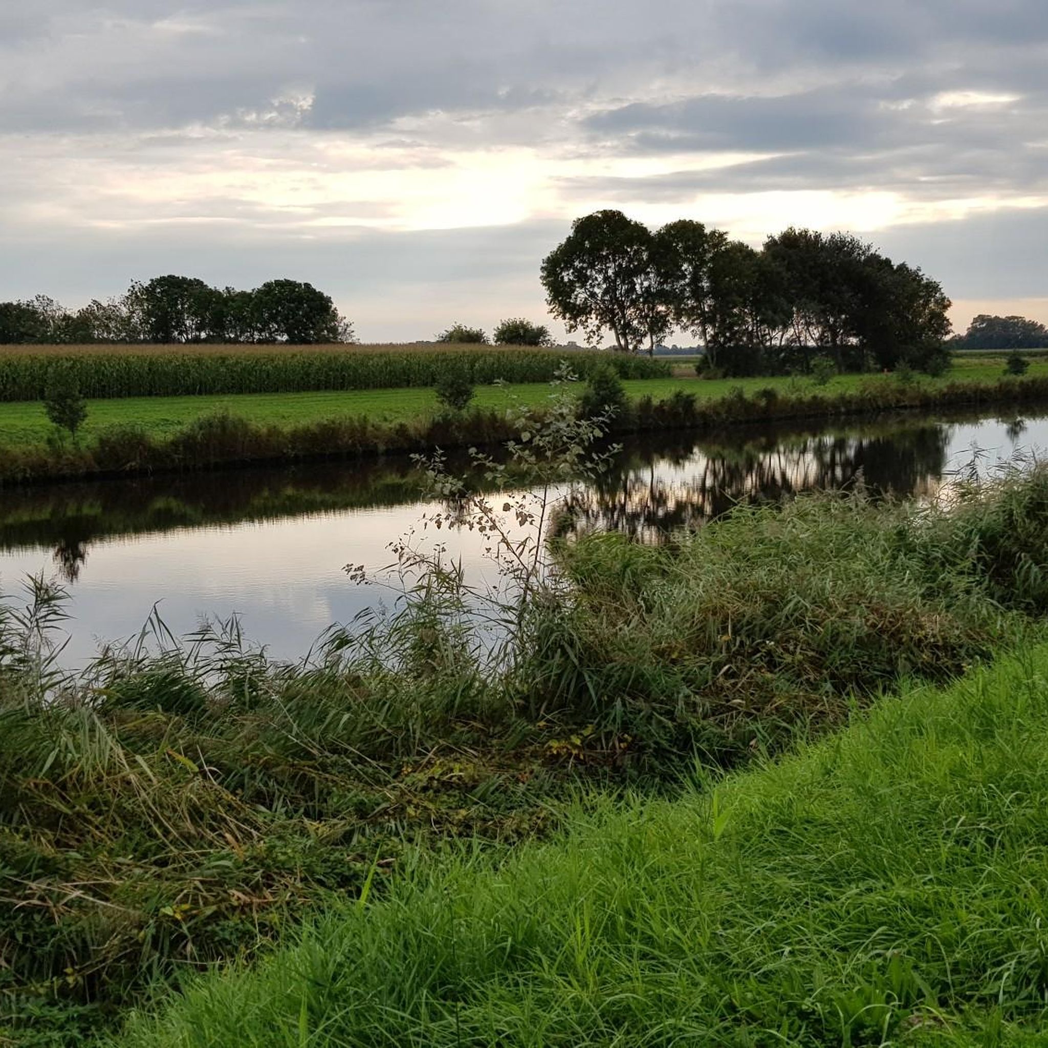
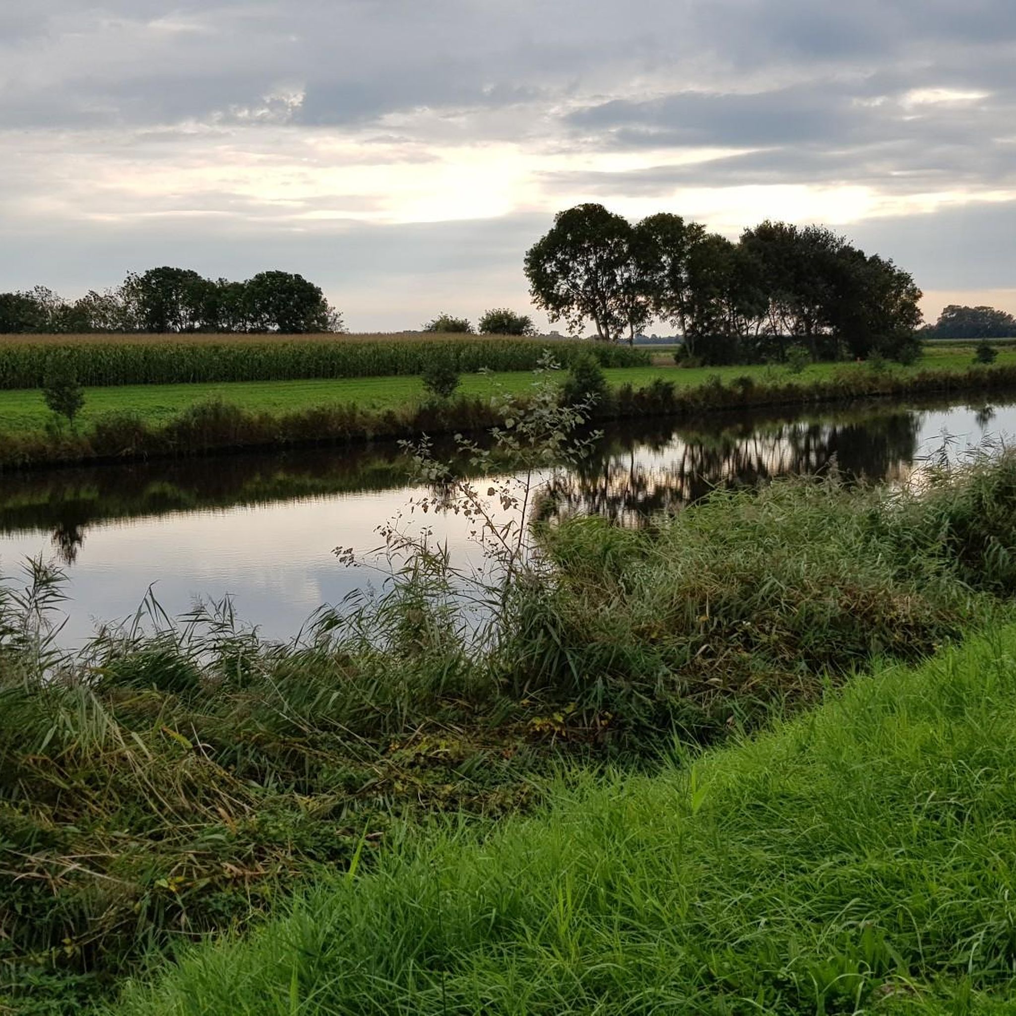
Hiking trails around Hadelner und Belumer Außendeich traverse a unique coastal landscape within a designated nature reserve. The region is characterized by tidal-influenced greenlands, extensive salt marshes, and dynamic mudflats and shallow water zones, particularly within the Elbe estuary. Numerous ditches, small waterways, and large reed beds define the flat terrain. This area is ecologically significant as a habitat for various bird species.
Best hiking trails around Hadelner und Belumer Außendeich
- The most popular hiking route is Bridge at the…
Last updated: July 1, 2026
5.0
(4)
36
hikers
Easy hike. Great for any fitness level. Easily-accessible paths. Suitable for all skill levels.
4.8
(20)
183
hikers
Easy hike. Great for any fitness level. Easily-accessible paths. Suitable for all skill levels.

Sign up for free
4.8
(5)
15
hikers
Easy hike. Great for any fitness level. Easily-accessible paths. Suitable for all skill levels.
3.0
(1)
17
hikers
3.35km
00:50
0m
0m
Easy hike. Great for any fitness level. Easily-accessible paths. Suitable for all skill levels.
4.0
(2)
13
hikers
Easy hike. Great for any fitness level. Easily-accessible paths. Suitable for all skill levels.
Get access to more routes and recommendations from other explorers.
Sign up for free
Already have an account?
Our route recommendations are based on thousands of hikes, rides, and runs completed by other people on komoot.
Start today with a free account
Your next adventure awaits.
Login or Signup


Tips from the Community

A great bike and hiking trail leads here amidst beautiful nature, highly recommended and interesting at the same time 👍🏼.
4
0
Here you can see and enjoy breathtaking views of the ships and the surrounding nature. Highly recommended and interesting at the same time.
1
0

A very beautiful fountain. Fittingly for the village name Otterndorf, the fountain is decorated with otters.
0
0

Heraldic animals immortalized as fountains - the cute little rascals
1
0
The canal is part of Otterndorf's late medieval town fortifications, which consist of the northern and southern ramparts. Originally, the ramparts and the moat in front of them (the present-day canal) served to protect the town, which received its town charter in 1400. The fortifications almost completely encircle the historic town center. The moat canal forms the water-side barrier of the defensive line.
1
0
There's a fantastic view of the Elbe River from the Otterndorf dike and beach area. A visit is highly recommended! 👍🏼
1
0
A visit is highly recommended; a great path leads along the Medem river.
1
0
In Otterndorf, on the way to the town center, you get a magnificent view of the Medem River and the surrounding area. A visit is highly recommended 👍🏼.
2
0
Frequently Asked Questions
How many hiking trails are available in Hadelner und Belumer Außendeich?
There are over 200 hiking routes in Hadelner und Belumer Außendeich. The majority are easy, with 139 trails suitable for all fitness levels, and 58 moderate options for those seeking a bit more challenge.
What is the typical terrain like for hiking in Hadelner und Belumer Außendeich?
The terrain is predominantly flat, characterized by tidal-influenced greenlands, extensive salt marshes, and dynamic mudflats. You'll also encounter numerous ditches, small waterways, and large reed beds, all contributing to a unique coastal landscape.
Are the hiking trails in Hadelner und Belumer Außendeich suitable for beginners or families?
Yes, the flat and easily accessible paths make Hadelner und Belumer Außendeich ideal for easy hikes and walks, suitable for all fitness levels, including families and children. Many of the 139 easy routes are perfect for a relaxed outing.
What kind of wildlife can I expect to see while hiking?
Hadelner und Belumer Außendeich is exceptionally significant for birdlife. It's a crucial breeding, feeding, and resting habitat for numerous bird species, especially waders and water birds. It's also an internationally important wintering ground for Nordic geese and various other aquatic birds, making it an excellent spot for birdwatching.
What do other hikers say about the trails in Hadelner und Belumer Außendeich?
The routes in Hadelner und Belumer Außendeich are highly rated by the komoot community, with an average score of 4.4 stars from over 700 reviews. Nearly 4000 hikers have explored the varied terrain, often praising the peaceful coastal scenery and abundant birdlife.
Are there any circular hiking routes in the area?
Yes, many routes in Hadelner und Belumer Außendeich are circular. For example, you can enjoy the Bridge at the Verbindungskanal – Hadelner Canal loop from Otterndorf, which is an easy 3.2-mile (5.1 km) trail offering views of the Hadelner Canal.
Are dogs allowed on the hiking trails?
As a designated nature reserve, dogs are generally welcome on trails in Hadelner und Belumer Außendeich, but must be kept on a leash to protect the sensitive wildlife, especially ground-nesting birds and other animals in the salt marshes and reed beds.
What are some interesting landmarks or attractions to see near the hiking trails?
While hiking, you can explore several interesting points. The Hadelner Canal Lock (Otterndorf Lock) is a notable structure. You might also encounter sections of the Hadelner Canal Cycle Path or the Elbe Cycle Path Near Otterndorf, which offer scenic views.
What is the best time of year to go hiking in Hadelner und Belumer Außendeich?
The area is beautiful year-round, but spring and autumn are particularly rewarding for birdwatching due to migration periods. Summer offers pleasant weather for walking, while winter can provide a unique, tranquil experience, though paths might be damp.
Are there any routes that offer views of the Wadden Sea National Park?
Yes, you can find routes that provide views towards the Wadden Sea National Park. The Otterndorf Promenade – Wadden Sea National Park loop from Otterndorf is an easy 2.7-mile (4.3 km) path that explores the promenade and offers these views.
How long do hikes typically take in Hadelner und Belumer Außendeich?
Hikes in this region vary in length, but many popular routes are relatively short and easy. For instance, the Bridge at the Verbindungskanal – View of the Medem loop from Otterndorf is a 2.6-mile (4.1 km) trail that typically takes about 1 hour to complete.
Is there public transport access to the hiking areas?
While specific public transport details vary, the region is generally accessible. Many trails start near towns like Otterndorf, which may have local bus connections. It's advisable to check local transport schedules for the most convenient access points to the nature reserve.
Most popular routes around Hadelner und Belumer Außendeich
Most popular attractions around Hadelner und Belumer Außendeich

Get inspired with the komoot mobile app


Explore more
Browse the best Hikes in other regions.
