The best walks and hikes around Juviles
4.6
(570)
3,103
hikers
103
hikes
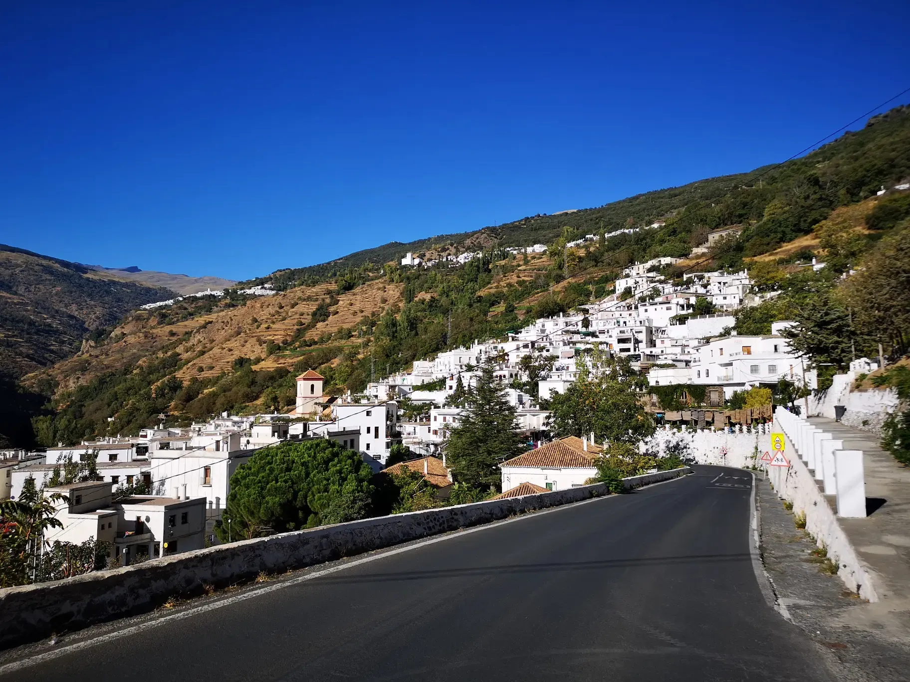
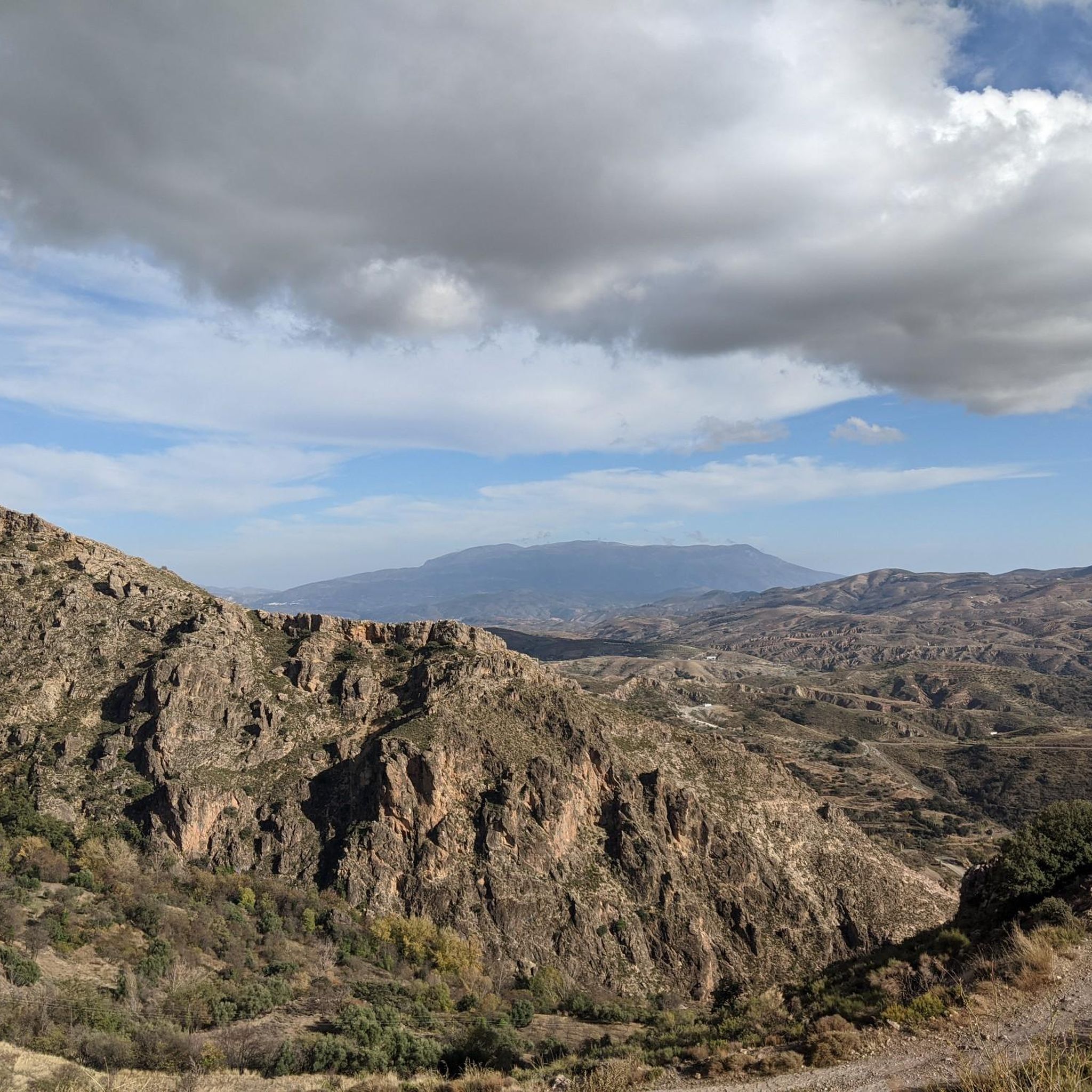
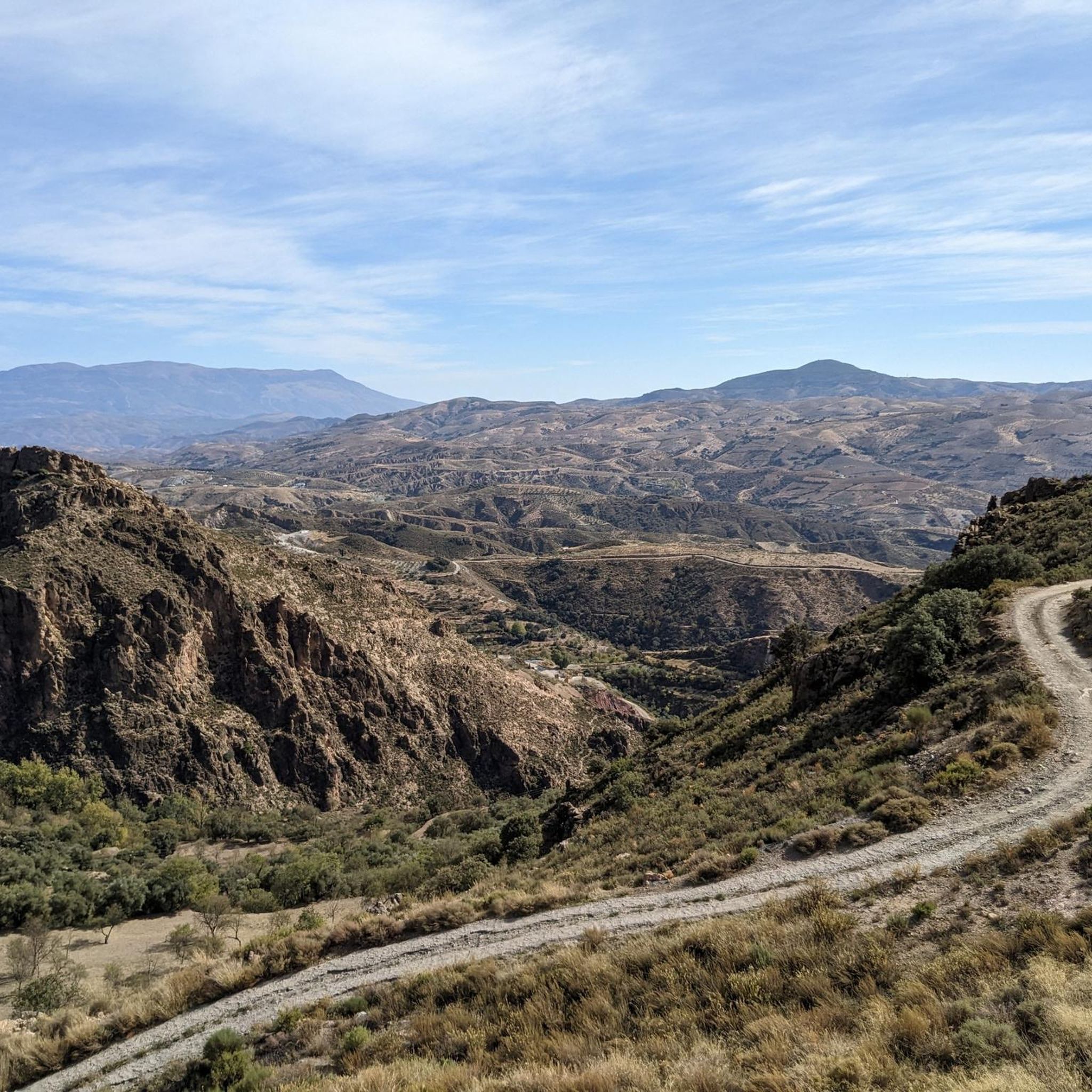
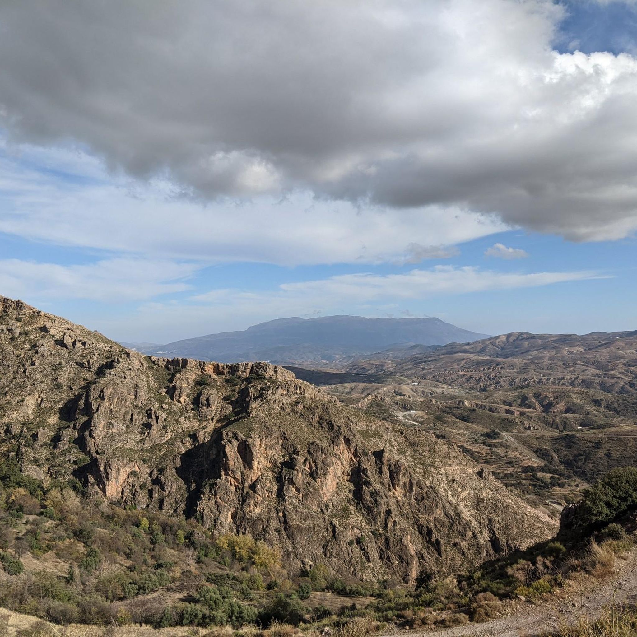
Hiking around Juviles offers diverse trails within a mountainous landscape in La Alpujarra. The region features significant elevation changes, ranging from accessible paths to more strenuous routes. Canyons and Natural Monuments contribute to the varied geological formations and unique ecosystems. This area is influenced by the broader natural beauty of the Sierra Nevada mountains, providing a rich outdoor experience.
Best hiking trails around Juviles
- The most popular hiking route is Medieval Route of La Alpujarra (PR-A 299), a 10.5 miles (16.9 km) trail that takes 5 hours 17 minutes to complete. This difficult route offers a historical and scenic experience through the local culture and natural beauty.
- Another top favourite among local hikers is Bérchules – Acequia Nueva loop from Bérchules, a moderate 6.3 miles (10.1 km) path. This loop provides varied scenery through the local landscape, typically completed in about 2 hours 54 minutes.
- Local hikers also love the Water Fountain – Juviles Clock Tower loop from Juviles, a 3.7 miles (5.9 km) trail leading through the village surroundings, often completed in about 2 hours 7 minutes.
- Hiking around Juviles is defined by mountainous terrain, canyons, and natural monuments. The network offers options for different ability levels, from easy walks to challenging ascents.
- The routes in Juviles are highly rated by the komoot community with an average score of 4.7 stars from more than 500 reviews. More than 3000 hikers have used komoot to explore Juviles's varied terrain.
Last updated: May 23, 2026
2
hikers
16.9km
05:17
640m
630m
Hike the difficult 10.5-mile Medieval Route of La Alpujarra (PR-A 299) through Sierra Nevada's historical landscapes and white villages.
4.7
(6)
34
hikers
10.1km
02:54
250m
250m
Moderate hike. Good fitness required. Easily-accessible paths. Suitable for all skill levels.

Sign up for free
4.6
(12)
27
hikers
5.93km
02:08
270m
270m
Moderate hike. Good fitness required. Mostly accessible paths. Sure-footedness required.
3.3
(3)
16
hikers
9.15km
02:52
350m
350m
Moderate hike. Good fitness required. Easily-accessible paths. Suitable for all skill levels.
4.3
(3)
9
hikers
8.70km
02:39
290m
290m
Moderate hike. Good fitness required. Mostly accessible paths. Sure-footedness required.
Get access to more routes and recommendations from other explorers.
Sign up for free
Already have an account?
Our route recommendations are based on thousands of hikes, rides, and runs completed by other people on komoot.
Start today with a free account
Your next adventure awaits.
Login or Signup

Other adventures around Juviles

Tips from the Community

An undiscovered village with great bars and shops.
0
0


This municipality is made up of the towns of Cádiar, Narila and Yátor. It is nestled between the majestic Sierra Nevada and the Contraviesa, on the banks of the Guadalfeo River. It is worth going into the town and discovering its streets and its typical houses of the Alpujarras area.
0
0

Cádiar has long been a place of confluence of paths that has witnessed many of the changes and historical events that have occurred in La Alpujarra.
2
0
This municipality is made up of the towns of Cádiar, Narila and Yátor. It is nestled between the majestic Sierra Nevada and the Contraviesa, on the banks of the Guadalfeo River. It is worth going into the town and discovering its streets and its typical houses of the Alpujarras area.
0
0
Frequently Asked Questions
How many hiking trails are there around Juviles?
Juviles offers a wide variety of hiking experiences, with over 100 routes available. These trails cater to different preferences, from leisurely strolls to challenging ascents, all set within the stunning mountainous landscape of La Alpujarra.
What kind of terrain and difficulty can I expect on hikes in Juviles?
The terrain around Juviles is predominantly mountainous, featuring significant elevation changes, canyons, and natural monuments. You'll find a diverse range of difficulties, with 19 easy routes for beginners, 55 moderate trails, and 30 difficult paths for experienced hikers seeking a challenge. Some routes can involve over 3,000 feet of elevation gain.
Are there any circular hiking routes in Juviles?
Yes, Juviles has several excellent circular routes. A popular option is the Water Fountain – Juviles Clock Tower loop from Juviles, a moderate 3.7-mile trail that takes you through the village surroundings. Another great choice is the Juviles Clock Tower loop from Juviles, which is 5.4 miles long and also offers a moderate challenge.
What natural features or landmarks can I see while hiking in Juviles?
Hiking in Juviles allows you to explore diverse natural features. You can discover impressive canyons like the Path through the Trevélez Gorge and the Tajo del Águila. There are also stunning waterfalls such as the Tajo de Cortés Waterfall. For those seeking panoramic views, nearby mountain peaks include Peñabón and Alto del Chorrillo.
Are there any family-friendly hiking options in Juviles?
While many routes in Juviles involve significant elevation, there are 19 easy routes that could be suitable for families. These trails offer a gentler introduction to the region's beauty without demanding very good fitness or sure-footedness. Always check the specific route details for distance and elevation to ensure it matches your family's capabilities.
What is the best time of year to go hiking in Juviles?
Juviles, located on the southern slopes of the Sierra Nevada, offers good hiking conditions for much of the year. Spring and autumn are generally ideal, with pleasant temperatures and vibrant landscapes. Summer can be hot, especially at lower elevations, so early morning starts are recommended. Winter hiking is possible, but higher routes may require appropriate gear for snow and ice.
What do other hikers enjoy most about hiking in Juviles?
The komoot community highly rates hiking in Juviles, with an average score of 4.7 stars from over 550 reviews. Hikers frequently praise the diverse scenery, the challenging yet rewarding trails, and the opportunity to experience the unique charm of the Alpujarra region. The varied terrain, from mountain peaks to canyons, is often highlighted as a major draw.
Are there any long-distance hiking trails that pass through Juviles?
Yes, the long-distance hiking trail GR-7/E4 crosses the Alpujarra Alta, offering extensive exploration opportunities on the southern side of the Sierra Nevada. This provides a chance for multi-day adventures or longer sections for those looking to immerse themselves deeper into the region's natural beauty.
Is there public transport or parking available for trailheads in Juviles?
Juviles is a small municipality in the Alpujarra Alta. While public transport options might be limited, especially to specific trailheads, there is typically parking available within or near the village for hikers. It's advisable to research specific trailhead access and parking availability for your chosen route in advance.
Can I find moderate trails that offer varied scenery in Juviles?
Absolutely. Juviles has 55 moderate trails that provide a balanced hiking experience. For example, the Bérchules – Acequia Nueva loop from Bérchules is a popular moderate 6.3-mile path that offers varied scenery through the local landscape, typically completed in under 3 hours.
What makes Juviles a unique hiking destination?
Juviles stands out due to its location within the Alpujarra Alta on the southern slopes of the Sierra Nevada, offering a unique blend of mountain peaks, deep canyons, and natural monuments. The region's diverse ecosystems and picturesque views, combined with trails like the historical Medieval Route of La Alpujarra (PR-A 299), provide a rich outdoor experience steeped in local culture and natural beauty.
Most popular attractions around Juviles

Get inspired with the komoot mobile app


Explore more
Browse the best Hikes in other regions.
