The best walks and hikes around Cristina
4.3
(27)
95
hikers
11
hikes
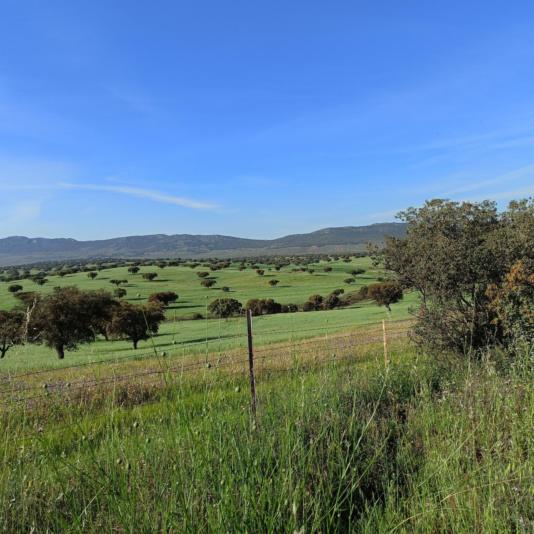
Hiking around Cristina reveals a landscape characterized by rolling hills, expansive reservoirs, and scattered Mediterranean forests. The region features a mix of open plains and gentle ascents, often leading to historical landmarks. Trails frequently offer views of water bodies and agricultural lands, providing diverse hiking experiences.
Best hiking trails around Cristina
- The most popular hiking route is Valle de la Serena and Pajosa Castle Loop, a 26.8 miles (43.2 km) trail that takes about 7 hours 20 minutes to…
Last updated: November 1, 2026
26.8km
07:19
400m
400m
Hard hike. Very good fitness required. Easily walkable paths.
13.9km
03:43
150m
150m
Moderate hike. Good fitness required. Easily walkable paths.

4.8
(4)
13
hikers
17.4km
05:25
630m
630m
Hard hike. Very good fitness required. Easily walkable paths.
12
hikers
5.85km
01:54
240m
240m
Easy hike. Easily walkable paths.
4.0
(2)
6
hikers
23.8km
06:38
440m
440m
Hard hike. Very good fitness required. Easily walkable paths.
Get access to more routes and recommendations from other explorers.
Already have an account?
Our route recommendations are based on thousands of hikes, rides, and runs completed by other people on komoot.
Start today with a free account
Your next adventure awaits.



Tips from the Community

These baths are a historic site in Alange, Extremadura, known for its hot springs and Roman architecture.
1
0
The Alange Reservoir is an impressive engineering work located in the province of Badajoz, Extremadura, near the town of Alange and about 20 km from Mérida. The concrete dam was inaugurated in 1992 and is located on the Matachel River, close to its mouth in the Guadiana River.
3
0
The Alange Castle, also known as the Culebra Castle, is a medieval fortress located in the municipality of Alange. It is located on the Cerro de la Culebra, 485 meters above sea level, offering panoramic views of the region. Built in the 9th century by the Moors on an old Roman fortress. It was conquered by the Christians in the 13th century and used until the 16th century. The castle is a fascinating place to explore history and enjoy nature.
7
0
The La Zarza Mines, also known as the Silos de Calañas, are located in the municipality of La Zarza-Perrunal. These mines are part of the Tharsis-La Zarza mining basin and have a rich history dating back to ancient times. The site is a fascinating testimony to the mining history of the region and offers an insight into ancient and modern mining techniques.
5
0
The Mirador del Embalse de Alange is a spectacular place in the region of Extremadura, Spain. It offers stunning views of the reservoir and surrounding nature. The Alange reservoir retains the waters of the Matachel, Palomillas, San Juan, Bonhabal and Valdemedel rivers, and is a point of attraction both for its natural beauty and for its importance in water and wildlife conservation.
7
1
The Cave Paintings of La Calderita are located in the Sierra de La Calderita, in La Zarza (Badajoz). They are a set of prehistoric rock art believed to date from the late Neolithic to the end of the Chalcolithic or even the Late Bronze Age, meaning they could be between 4000 and 1000 BC. These paintings were discovered in 1916 by archaeologist and prehistorian French Henri Breuil, with the help of guide Tomás Pareja.
7
0

Fantastic views of the Alange Dam.
2
0
There are only remains of the castle left, but the view up here is fantastic.
3
0
Frequently Asked Questions
What kind of landscape can I expect when hiking around Cristina?
Hiking around Cristina offers a diverse landscape characterized by rolling hills, expansive reservoirs, and scattered Mediterranean forests. You'll find a mix of open plains and gentle ascents, often leading to historical landmarks, with trails frequently providing views of water bodies and agricultural lands.
Are there any easy hiking trails suitable for beginners or a relaxed walk?
Yes, Cristina offers easy options. For a straightforward walk, consider the Viewpoint of Alange Reservoir loop from La Zarza. This 3.6-mile (5.8 km) trail leads through open landscapes and typically takes less than two hours to complete.
What are some challenging long-distance hikes in the Cristina area?
For a more challenging experience, the Valle de la Serena and Pajosa Castle Loop is a demanding 26.8-mile (43.2 km) route that explores varied terrain and passes by historical sites, taking approximately 7 hours 20 minutes. Another difficult option is the Alange Castle – Views of the Alange Reservoir loop from La Zarza, covering 17.5 miles (28.2 km).
Are there any circular routes available for hiking?
Yes, many trails in Cristina are circular. A popular moderate circular route is From Guareña to Puerto de la Sierrecilla — circular by Cristina, which is 8.7 miles (14.0 km) long and offers views of the surrounding countryside. For a shorter option, the Viewpoint of Alange Reservoir loop from La Zarza is also a circular trail.
What kind of historical landmarks or points of interest can I see while hiking?
The region around Cristina features several historical landmarks. You can explore the Rock Paintings of La Calderita, or visit the ancient Minas de la Zarza. Some routes, like the Valle de la Serena and Pajosa Castle Loop, specifically pass by historical sites.
What do other hikers say about the trails in Cristina?
The hiking routes in Cristina are highly rated by the komoot community, with an average score of 4.7 stars from over 20 reviews. Hikers often praise the diverse terrain, the scenic reservoir views, and the opportunity to explore historical sites.
Are there any trails that offer views of reservoirs or water bodies?
Absolutely. Many trails in Cristina provide excellent views of water bodies. The Viewpoint of Alange Reservoir loop from La Zarza is specifically designed to showcase the reservoir. Other routes like Views of the Alange Reservoir – Alange Castle loop from La Zarza also offer expansive reservoir panoramas.
How many hiking routes are available in the Cristina area?
There are over 5 hiking routes documented for the Cristina area on komoot, offering a variety of experiences from easy walks to challenging long-distance treks.
What are the nearest towns or settlements to the hiking trails in Cristina?
Several towns and settlements are located near the hiking trails, which can serve as starting points or places to explore. These include La Zarza, Manchita, and Guareña.
What is the typical elevation gain on hikes in Cristina?
The elevation gain varies significantly depending on the route's difficulty. Easy trails like the Viewpoint of Alange Reservoir loop from La Zarza have around 239 meters of ascent. More difficult routes, such as the Alange Castle – Views of the Alange Reservoir loop from La Zarza, can involve over 620 meters of elevation gain.
Are there any trails that pass through Mediterranean forests?
Yes, the region is characterized by scattered Mediterranean forests. Many trails weave through these areas, providing shade and a distinct natural environment, as described in the general landscape of Cristina.
Most popular attractions around Cristina

Get inspired with the komoot mobile app


Explore more
Browse the best Hikes in other regions.
