The best cycling routes around Esparragosa De Lares
20
riders
5
rides
Touring cycling routes around Esparragosa de Lares traverse the Siberia Extremeña region of Badajoz, Spain, characterized by its distinctive natural landscapes. The area features the expansive Embalse de La Serena, one of Spain's largest reservoirs, and the unique conical hill Cerro Masatrigo. The broader Extremadura region offers untouched mountain ranges, ancient paths, and vast oak forests, providing varied terrain for cyclists.
Best touring cycling routes around Esparragosa De Lares
- The most popular touring cycling route is Guadiana Natural Trail: Orellana…
Last updated: May 15, 2026
5
riders
43.5km
02:46
350m
350m
Moderate bike ride. Good fitness required. Mostly paved surfaces. Suitable for all skill levels.
5
riders
Hard bike ride. Very good fitness required. Mostly paved surfaces. Suitable for all skill levels.

Sign up for free
Hard bike ride. Very good fitness required. Mostly paved surfaces. Suitable for all skill levels.
5
riders
14.7km
00:55
160m
160m
Moderate bike ride. Good fitness required. Mostly paved surfaces. Suitable for all skill levels.
6
riders
Moderate bike ride. Good fitness required. Mostly paved surfaces. Suitable for all skill levels.
Our route recommendations are based on thousands of hikes, rides, and runs completed by other people on komoot.
Start today with a free account
Your next adventure awaits.
Login or Signup
Popular around Esparragosa De Lares
Tips from the Community

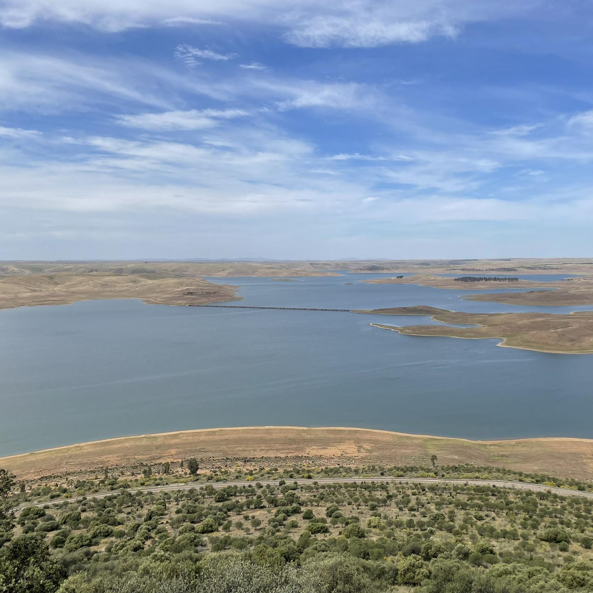
The García de Sola Reservoir, also known as Puerto Peña, is located on the Guadiana River, in the La Siberia Extremeña region (Badajoz). It was built in 1962 as part of the Badajoz Plan and has a capacity of 554 hm³. It is an emblematic site for its natural, scenic, and recreational value.
5
0
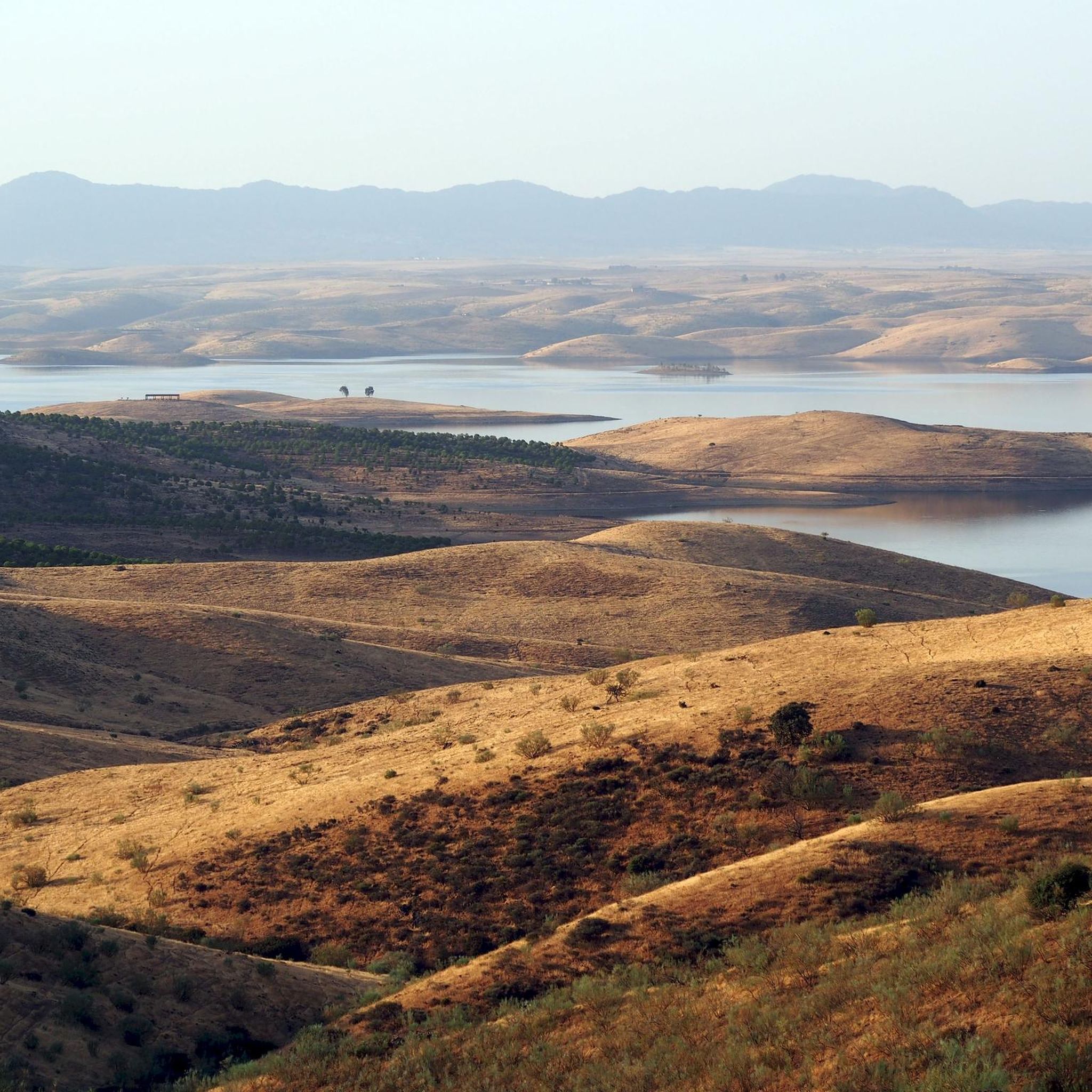
The Guadiana Riverside Trail in Siberia Extremadura is not an official name, but it refers to routes that run alongside the Guadiana River and its reservoirs in the La Siberia region (Badajoz), declared a Biosphere Reserve by UNESCO in 2019. This area combines landscapes of pastureland, mountains and large bodies of water (Cíjara, García de Sola and Orellana reservoirs), ideal for hiking, cycling and wildlife watching.
5
0
It's a historic bridge located over the Guadiana River, near the pre-Roman ruins of Lacimurga. It's part of the Senda de los Embalses (Reservoirs Path), a popular hiking and nature trail.
5
0
Playa de los Calicantos, located in Casas de Don Pedro (Badajoz), is an inland beach at the tail end of the Orellana Reservoir, within the La Siberia Extremeña region. It's an ideal place to enjoy the summer surrounded by nature, with excellent services and a peaceful setting.
10
0
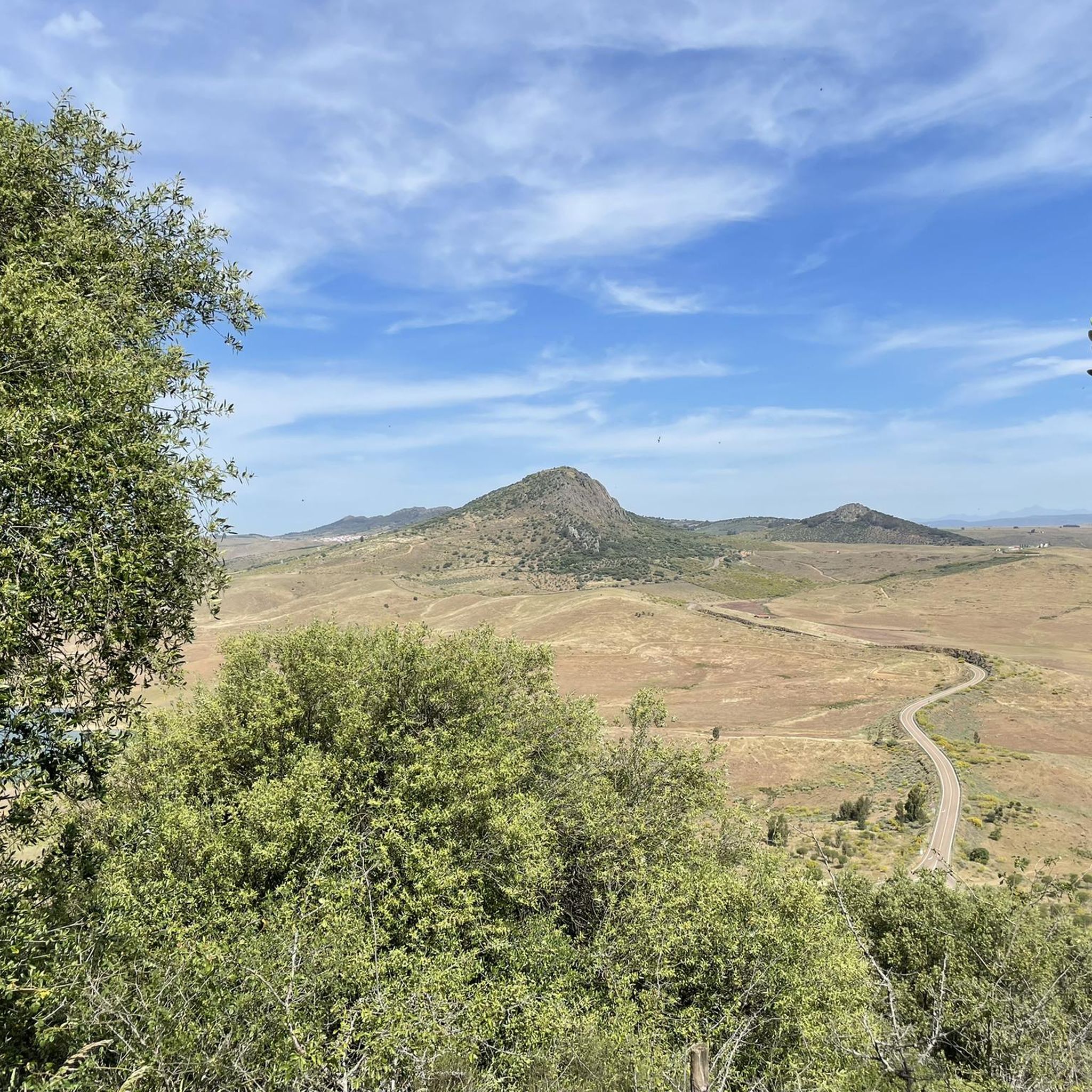
Cerro Masatrigo is a hill located in the municipality of Esparragosa de Lares. This hill is known for its almost perfect conical shape, which has earned it the nickname "the magic mountain." It rises 501 meters above sea level and 161 meters above the surrounding terrain. After the construction of the La Serena Dam, Cerro Masatrigo became a peninsula surrounded by the waters of the reservoir.
1
0
Cerro Masatrigo is a hill located in the municipality of Esparragosa de Lares. This hill is known for its almost perfect conical shape, which has earned it the nickname "the magic mountain." It rises 501 meters above sea level and 161 meters above the surrounding terrain. After the construction of the La Serena Dam, Cerro Masatrigo became a peninsula surrounded by the waters of the reservoir.
5
0
Cerro Masatrigo is a hill located in the municipality of Esparragosa de Lares. This hill is known for its almost perfect conical shape, which has earned it the nickname "the magic mountain." It rises 501 meters above sea level and 161 meters above the surrounding terrain. After the construction of the La Serena Dam, Cerro Masatrigo became a peninsula surrounded by the waters of the reservoir.
6
0
The La Serena Dam, located in the province of Badajoz (Extremadura), is one of the most impressive hydraulic infrastructures in Europe. Location: Zújar River, in the region of La Serena It is part of the La Siberia Biosphere Reserve. It houses inland islands such as Cerro Masatrigo, considered a "magic mountain" for its perfect conical shape. A SPA (Special Protection Area for Birds), ideal for watching aquatic birds and birds of prey.
6
0
Frequently Asked Questions
How many touring cycling routes are available around Esparragosa de Lares?
There are 5 touring cycling routes around Esparragosa de Lares, offering a variety of experiences from moderate loops to more challenging paths. These routes allow you to explore the distinctive natural landscapes of the Siberia Extremeña region.
What kind of terrain can I expect on touring cycling routes in Esparragosa de Lares?
The terrain around Esparragosa de Lares is varied, featuring expansive reservoirs like the Embalse de La Serena, unique geological formations such as Cerro Masatrigo, and ancient oak forests. You'll find routes that are generally easy to pedal, suitable for leisure cyclists, but also more challenging options with significant ascents, particularly around hills like Cerro Masatrigo.
Are there any family-friendly touring cycling routes in the area?
While specific 'family-friendly' designations aren't always explicit, many routes in the broader Extremadura region are considered suitable for beginners and leisure cyclists due to their generally easy-to-pedal nature. For a moderate option, consider the Guadiana Natural Trail: Orellana Reservoir Loop, which is 27.0 miles (43.5 km) long and takes about 2 hours 46 minutes to complete.
Can I bring my dog on the touring cycling trails around Esparragosa de Lares?
Generally, the natural areas and trails in Extremadura are welcoming to dogs, especially if kept on a leash and under control. It's always best to check local signage for any specific restrictions in protected areas or private lands. Ensure your dog is fit for the distance and terrain, and always carry enough water for both of you.
What are some notable landmarks or natural features I can see while cycling?
The region is rich in natural and historical sights. You can cycle past the expansive La Serena Reservoir, one of Spain's largest, and witness the unique conical hill Cerro Masatrigo, a Natural Monument. Historical sites include the ruins of an Ancient Arab Castle on the Sierra de Lares, the dramatic Castle of Puebla de Alcocer, and the Ermita de la Virgen de la Cueva, set into a rock face.
Are there any circular touring cycling routes available?
Yes, several routes are circular, allowing you to start and end in the same location. Examples include the Guadiana Natural Trail: Orellana Reservoir Loop and the View of Cerro Masatrigo – Cerro de Masatrigo loop from Esparragosa de Lares, which offers a unique ride around the 'Magic Mountain'.
What is the best time of year for touring cycling in Esparragosa de Lares?
The Extremadura region generally offers pleasant cycling conditions outside of the peak summer months. Spring (March to May) and Autumn (September to November) are ideal, with milder temperatures and beautiful landscapes. Summers can be very hot, making early morning or late afternoon rides preferable, while winters are generally mild but can be damp.
Where can I find parking if I'm bringing my bike to Esparragosa de Lares?
Esparragosa de Lares is a tranquil town, and you can typically find parking in or near the town center. For routes starting from specific points outside the town, such as those around the reservoirs or other villages, look for designated parking areas or suitable roadside spots. Always ensure you park responsibly and do not obstruct local access.
Are there any challenging routes for experienced touring cyclists?
Yes, for those seeking a greater challenge, there are difficult routes available. The Embalse de la Serena and Castillo de Puebla de Alcocer — circular from la Puebla de Alcocer is a difficult 45.4 miles (73.1 km) path with significant elevation changes, offering rewarding views and a good workout.
Do I need any special permits to cycle in the natural areas around Esparragosa de Lares?
Generally, no special permits are required for touring cycling on public roads and established trails in the Extremadura region. However, if you plan to cycle through specific protected natural parks or private estates, it's always advisable to check with local authorities or park management for any specific regulations or access restrictions.
What makes the cycling experience unique in Esparragosa de Lares?
The uniqueness comes from the blend of vast, untouched natural landscapes, particularly the immense reservoirs and the distinctive Cerro Masatrigo, combined with rich historical sites. The tranquility of the area, away from bustling tourist crowds, offers an authentic immersion into the heart of Extremadura, making for a peaceful yet engaging cycling adventure.
Are there options for longer touring cycling adventures?
Yes, if you're looking for a longer ride, the Zona de Interés Regional Embalse de Orellana y Sierra de Pela — circular desde Orellana la Vieja is a difficult 34.5 miles (55.5 km) route that takes approximately 3 hours 36 minutes. This route explores the regional interest zone around the Orellana Reservoir and Sierra de Pela, offering extensive views and a significant challenge.
Most popular routes around Esparragosa De Lares
Most popular attractions around Esparragosa De Lares

Get inspired with the komoot mobile app


Explore more
Browse the best Cycling routes in other regions.
