The best walks and hikes around Balksee und Randmoore/ Basmoor und Nordahner Holz
4.6
(1423)
4,765
hikers
468
hikes
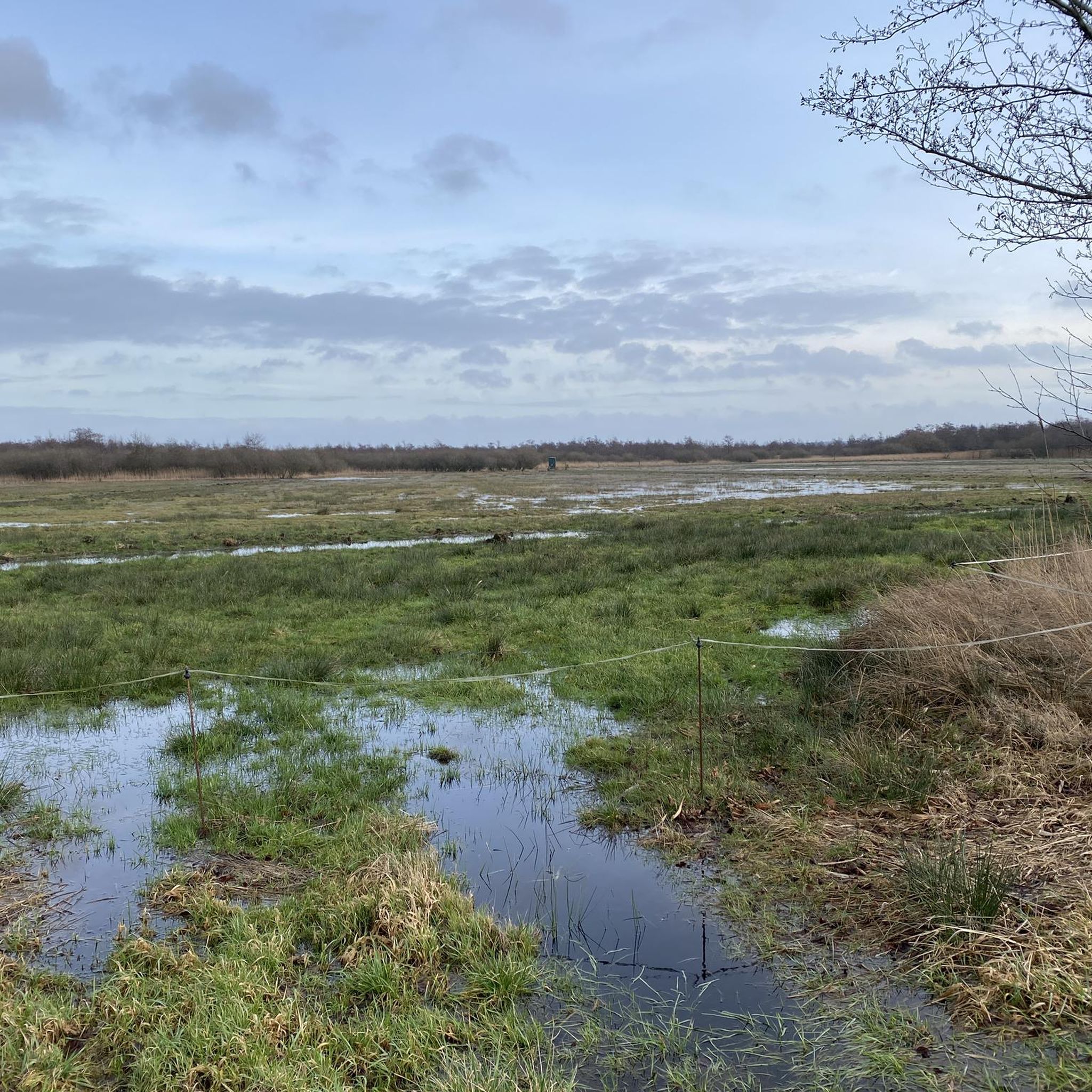
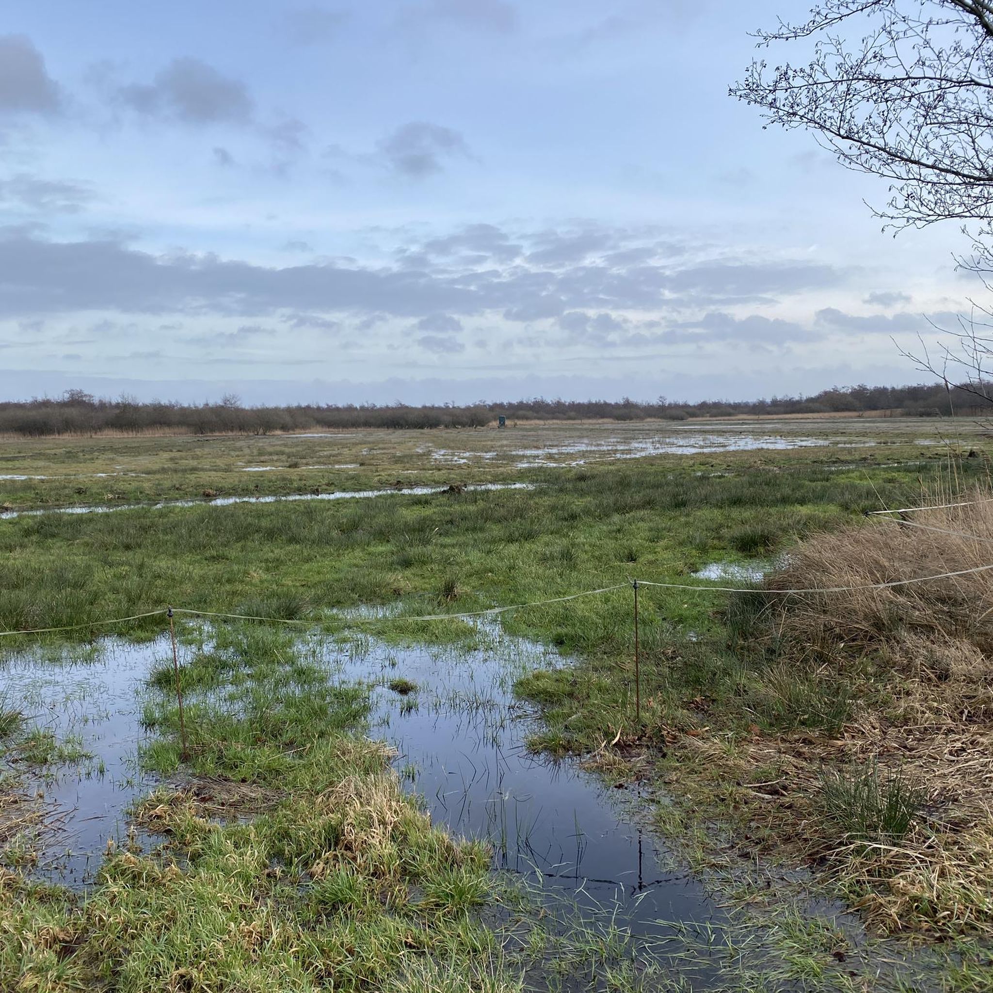
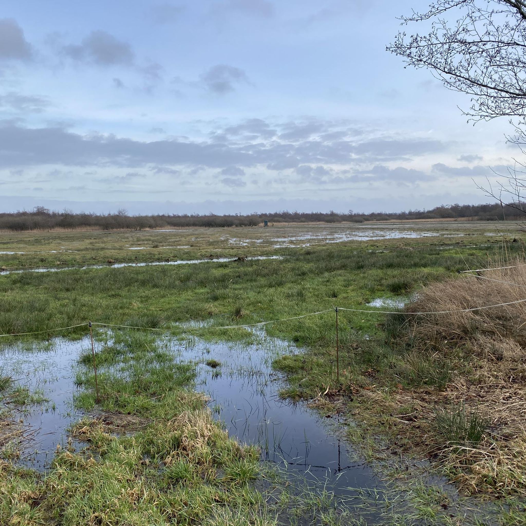
Hiking around Balksee und Randmoore/ Basmoor und Nordahner Holz offers diverse natural landscapes, combining wetlands, moors, and forests. The region features the Balksee, a large moor lake, surrounded by extensive wetlands and fringe moors like Basmoor. Nordahner Holz contributes dense forested areas, including a nature forest reserve. This geological diversity provides a variety of terrains for outdoor exploration.
Best hiking trails around Balksee und Randmoore/ Basmoor und Nordahner Holz
- The most popular hiking route is Galgenberg Execution Site – Wolf…
Last updated: July 11, 2026
4.5
(22)
62
hikers
Moderate hike. Good fitness required. Easily-accessible paths. Suitable for all skill levels.
4.6
(27)
83
hikers
10.5km
02:49
120m
120m
Moderate hike. Good fitness required. Easily-accessible paths. Suitable for all skill levels.

Sign up for free
4.8
(16)
63
hikers
Moderate hike. Good fitness required. Easily-accessible paths. Suitable for all skill levels.
4.5
(13)
40
hikers
Moderate hike. Good fitness required. Easily-accessible paths. Suitable for all skill levels.
4.5
(11)
28
hikers
Hard hike. Very good fitness required. Easily-accessible paths. Suitable for all skill levels.
Get access to more routes and recommendations from other explorers.
Sign up for free
Already have an account?
Our route recommendations are based on thousands of hikes, rides, and runs completed by other people on komoot.
Start today with a free account
Your next adventure awaits.
Login or Signup
Popular around Balksee und Randmoore/ Basmoor und Nordahner Holz
Tips from the Community

The "new" King's Fir is a silver fir, officially designated as the successor to the original King's Fir in 2006. It is about 80 years younger than its predecessor. The original King's Fir, a symbol of the municipality of Wingst and even part of its coat of arms, was planted in 1777 and fell victim to a storm in 1949. The new King's Fir is located about 600 meters south of the site of the original tree. With a height of around 38 meters and a trunk circumference of 3.9 meters, it is an impressive sight.
0
0
The mysterious Jewish Cemetery, nestled in the middle of the forest, exudes a very special sense of tranquility. It served as a burial site for the Jewish community of Neuhaus (Oste) and the surrounding villages. The cemetery was first used before 1767, and the last recorded occupation dates back to 1926.
1
0

At approximately 74 meters above sea level, the Silberberg is the highest natural elevation in the Wingst region and the entire Elbe-Weser triangle. At the summit, you'll find a memorial plaque commemorating the legend of the giant family "Wingis," a historic Gauss stone, a bench, a summit cross, and a summit book. The area around the Silberberg is part of the Wingst Forest, which includes nature reserves such as the Balksee lake, the Quellental valley, and moors. Many signposted circular trails lead around the Silberberg.
3
0
There is really good drinking water here, it's free and comfortable too.
2
0

beautiful, calm lake.....
0
0

Even children and larger dogs can go to the water here 😃
1
0
A really beautiful place for all who love nature and peace
0
0

Very well maintained and inviting rest area.☺️
1
0
Frequently Asked Questions
How many hiking trails are available in Balksee und Randmoore/ Basmoor und Nordahner Holz?
There are over 440 hiking routes in the Balksee und Randmoore/ Basmoor und Nordahner Holz region. These range from easy walks to more challenging tours, ensuring options for all fitness levels.
What kind of terrain can I expect on the hiking trails in this region?
The region offers a diverse landscape, primarily characterized by wetlands, extensive moors, dense forests, and the Balksee lake basin. You'll encounter paths through marsh-edge areas, high and low moorlands, and wooded sections, including some sandy, heathland (geest) areas.
Are there any family-friendly hiking options in Balksee und Randmoore/ Basmoor und Nordahner Holz?
Yes, many trails are suitable for families. The area offers numerous easy walks and well-maintained paths. For example, the Observation Tower at Stinstedter See – Wind-Powered Water Pump loop from Stinstedt, Niederelbe is a moderate 5-mile route that explores lake surroundings and is often completed in about 2 hours.
Can I bring my dog on the trails in Balksee und Randmoore/ Basmoor und Nordahner Holz?
Many trails in the Balksee und Randmoore/ Basmoor und Nordahner Holz region are dog-friendly. However, as it is a protected natural area, it's always recommended to keep dogs on a leash, especially in sensitive wetland and moorland habitats, to protect local wildlife.
Are there any circular hiking routes in the area?
Yes, the region features many circular routes. A popular moderate option is the Silberberg Summit (Wingst) – Quellental Nature Reserve loop from Wingst, which is 6.5 miles long and explores forest scenery. Another longer, more challenging loop is the Silberberg Summit (Wingst) – Forest Path to Waldspielplatz loop from Süderbusch, covering over 17 miles.
What are the best viewpoints or natural features to see while hiking?
The region offers several points of interest. The Observation Tower Balksee on the northern shore provides excellent views over the lake and opportunities for birdwatching. You can also explore the unique moor landscapes of the Randmoore and Basmoor, or the dense forests of Nordahner Holz. The historical Neuhaus-Bülkauer Canal is another notable feature.
Is there parking available near the trailheads?
Yes, parking is generally available at various access points and trailheads throughout the Balksee und Randmoore/ Basmoor und Nordahner Holz region. Specific parking information can often be found on individual route descriptions.
What is the best time of year to go hiking in Balksee und Randmoore/ Basmoor und Nordahner Holz?
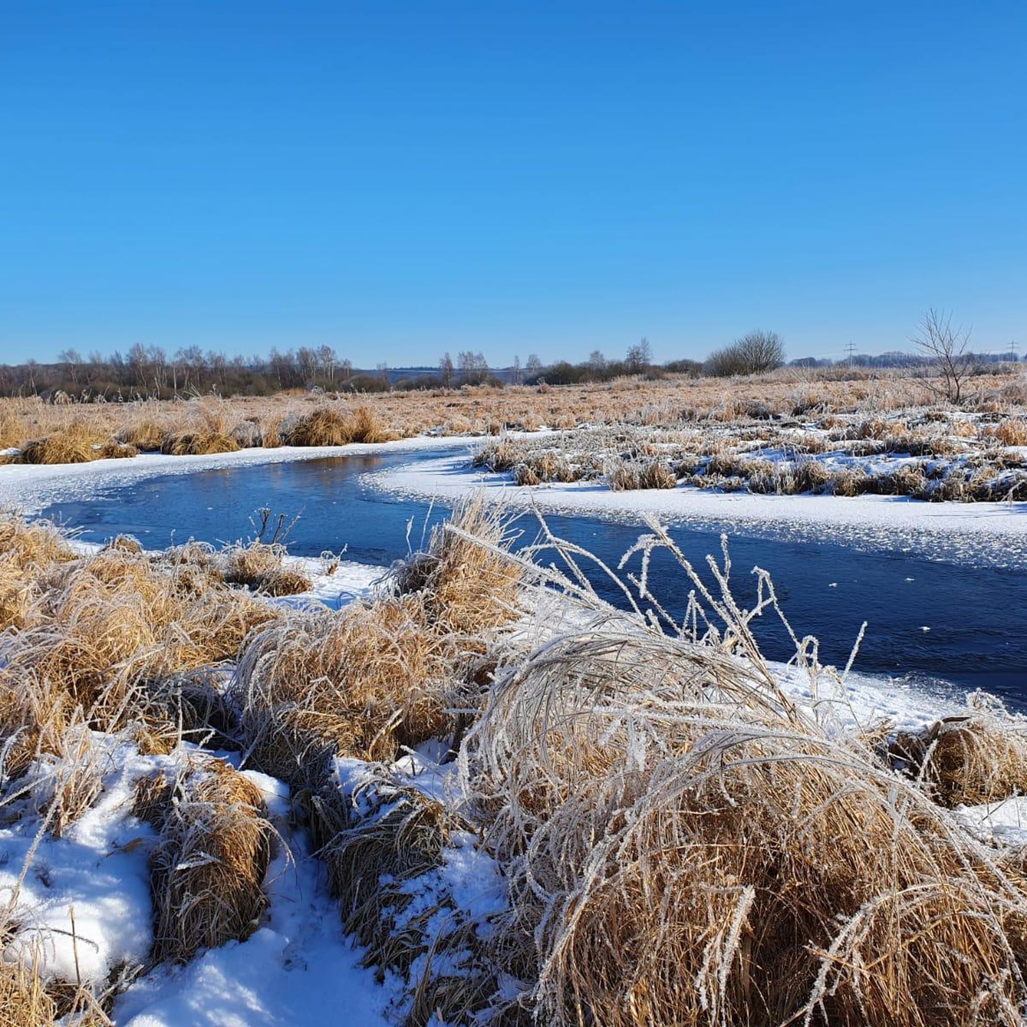
The region is beautiful year-round, but spring and autumn are particularly pleasant for hiking. Spring brings blooming flora and active birdlife, while autumn offers vibrant foliage. Summer is also suitable, though some areas might be more exposed. Winter hikes can be serene, especially in the forested parts, but trails might be wet or icy.
What do other hikers enjoy most about the trails here?
The komoot community rates the trails in Balksee und Randmoore/ Basmoor und Nordahner Holz highly, with an average score of 4.6 stars. Hikers frequently praise the diverse natural landscapes, the tranquility of the moorlands and forests, and the excellent opportunities for wildlife observation, particularly birdwatching around the Balksee.
Are there any challenging hikes in the Balksee und Randmoore/ Basmoor und Nordahner Holz area?
While many routes are easy to moderate, there are more challenging options available. For instance, the Silberberg Summit (Wingst) – Forest Path to Waldspielplatz loop from Süderbusch is classified as difficult, covering over 17 miles with significant elevation changes, offering a more strenuous experience.
Are there opportunities to see wildlife during a hike?
Absolutely. The diverse ecosystems of wetlands, moors, and forests provide excellent opportunities for wildlife viewing. The Balksee is a significant habitat for various water birds, and with some luck, you might even spot sea eagles from the observation tower. The moorlands are home to rare plants and species like cranes.
Are there any cafes or places to eat near the hiking trails?
While the immediate trailheads are primarily natural areas, there are cafes and restaurants in nearby towns and villages surrounding the Balksee und Randmoore/ Basmoor und Nordahner Holz region. It's advisable to check local listings for specific options along your chosen route or in nearby communities like Wingst or Stinstedt.
Most popular routes around Balksee und Randmoore/ Basmoor und Nordahner Holz

Get inspired with the komoot mobile app


Explore more
Browse the best Hikes in other regions.
