The best running trails around Vegaquemada
63
runners
6
runs
Jogging around Vegaquemada offers a diverse landscape for runners, characterized by mountainous terrain, river valleys, and dense woodlands. The region features significant elevation changes, with routes often leading to prominent peaks and natural landmarks. Many trails traverse through forests and past waterfalls, providing varied scenery for running. These jogging routes in Vegaquemada provide opportunities for both moderate and challenging runs, with several options for exploring the natural environment.
Best jogging routes around Vegaquemada
- The most popular jogging route is Ermita de San Froilán y Cascada de Valdecesar - trail running desde Valdorria por el Bosque de las Hadas, a 3.7 miles (6.0 km) trail that takes about 50 minutes to complete. This route features a hermitage, a waterfall, and passes through a forested area.
- Another top favourite among local runners is Lago del Camping – Pico Cueto loop from Barrio de las Ollas, a difficult 11.4 miles (18.3 km) path. This route offers significant elevation gain and views of a lake and Pico Cueto.
- Local runners also love the Peña Valdorria loop from Valdorria, a 3.0 miles (4.8 km) trail leading through mountainous terrain, often completed in about 1 hour 20 minutes.
- Jogging around Vegaquemada is defined by its varied terrain, including river valleys, forested paths, and challenging ascents to peaks like Peña Valdorria. The network offers options for different ability levels, from moderate runs to more difficult trail running experiences.
- The guide includes highly-rated routes that showcase the best of the region's landscape. More than 50 runners have used komoot to explore Vegaquemada's varied terrain.
Last updated: July 3, 2026
4
runners
Moderate run. Good fitness required. Mostly paved surfaces. Suitable for all skill levels.
18
runners
20.0km
02:27
650m
650m
Hard run. Very good fitness required. Mostly paved surfaces. Suitable for all skill levels.

Sign up for free
16
runners
27.3km
04:58
1,830m
1,830m
Hard run. Very good fitness required. Sure-footedness, sturdy shoes and alpine experience required.
7
runners
4.77km
01:22
540m
540m
Hard run. Very good fitness required. Sure-footedness, sturdy shoes and alpine experience required.
8
runners
20.1km
02:30
710m
710m
Hard run. Very good fitness required. Mostly paved surfaces. Suitable for all skill levels.
Our route recommendations are based on thousands of hikes, rides, and runs completed by other people on komoot.
Start today with a free account
Your next adventure awaits.
Login or Signup
Tips from the Community

Nocedo Waterfall, also known as Cola de Caballo Waterfall, is one of the most accessible and spectacular natural spots in the Central León Mountains, located near Nocedo de Curueño, in the municipality of Valdepiélago. Approximately 4 meters high, it was formed by the Valdecésar stream as it negotiates a steep drop on its way to the Curueño River.
4
0
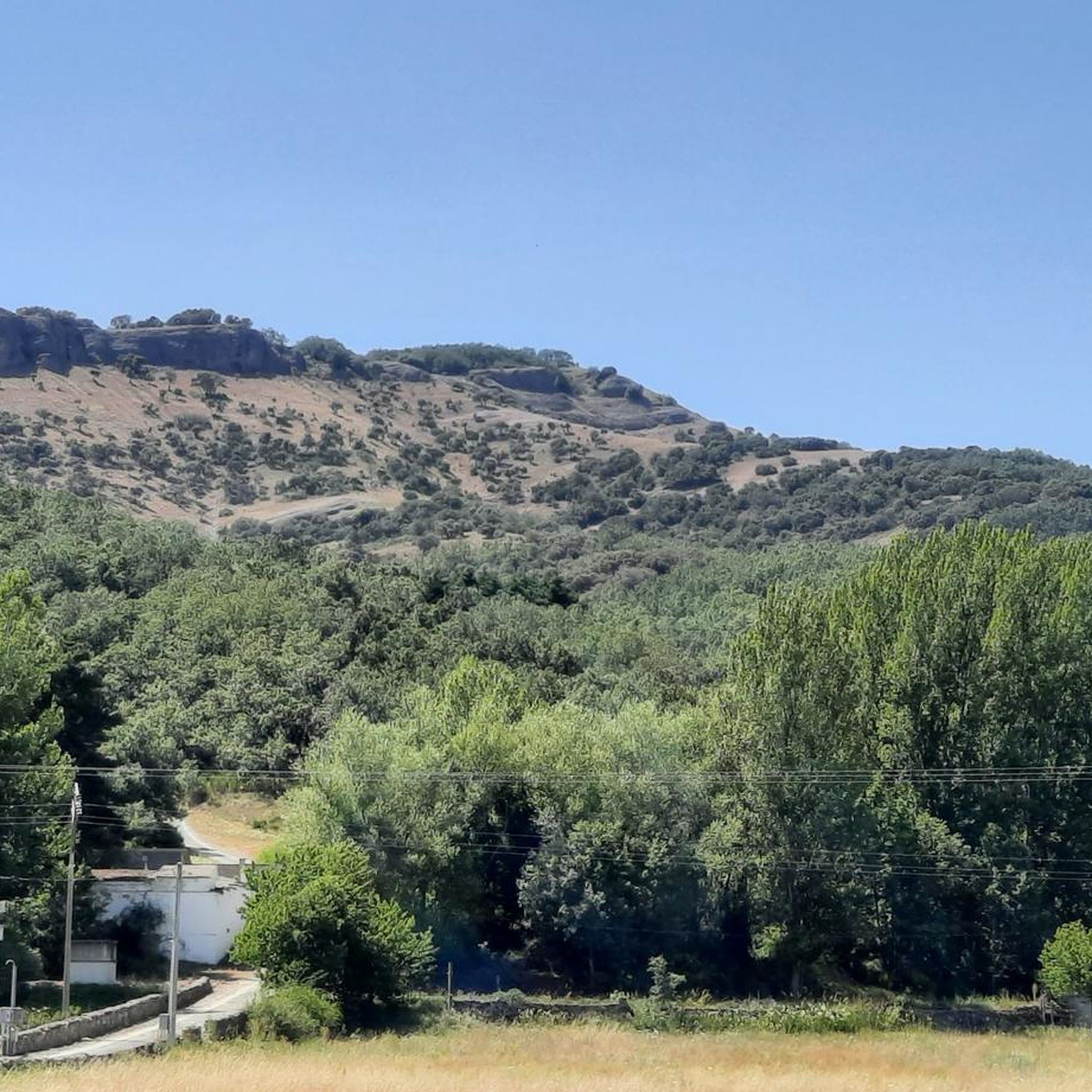
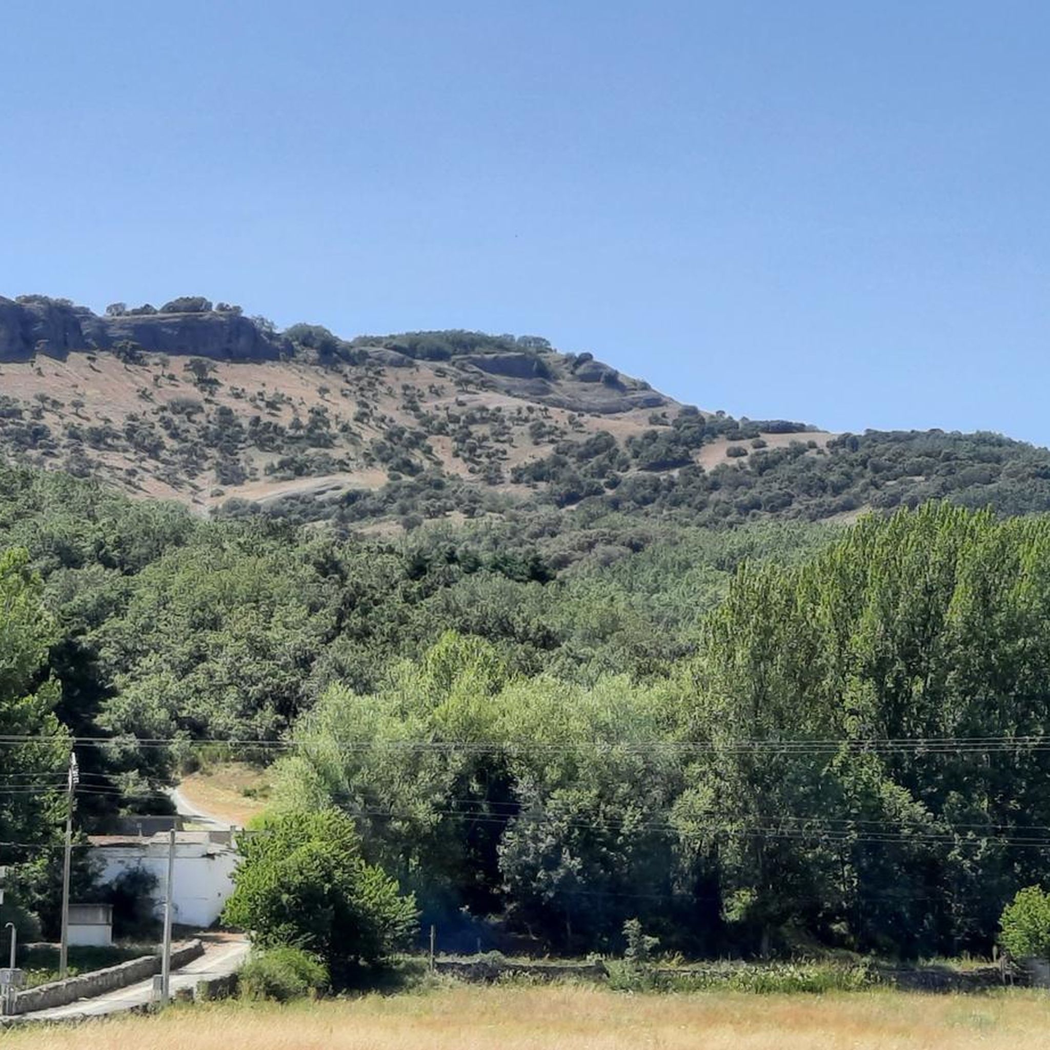
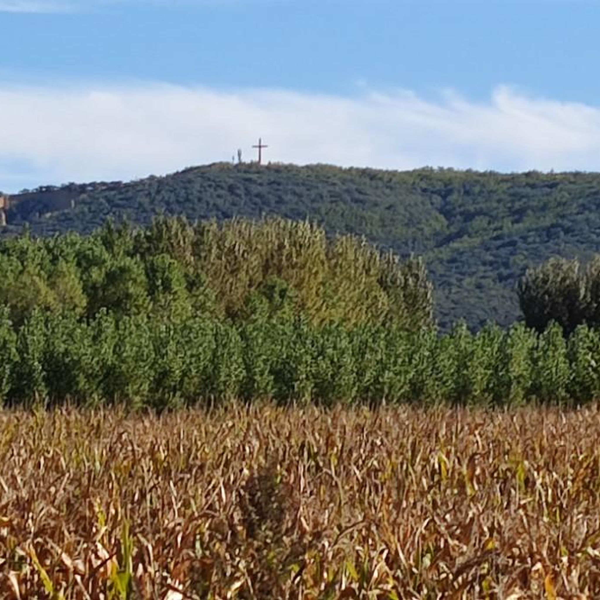
The Hermitage of San Froilán, located at the top of Peña de Valdorria (municipality of Valdepiélago, León), is one of the most emblematic and spiritual places in the León mountains. It stands at an altitude of 1,430 meters, perched among cliffs, and is accessed via a steep staircase with 365 steps carved into the rock, one for each day of the year.
4
0

It is 50 meters from the road. It is accessed by some footbridges. Bike on the shoulder Please be calm: be discreet
0
0

Also known as Cascada de Valdecesar or Cola de Caballo, it has become popular in recent times. Easily accessible if we park the car on the side of the road or if we are more adventurous, we can do the route from Valdorria through the Forest of Fairies or Támbore, where we must go carefully if we go in rainy or winter seasons due to to icy and/or slippery areas.
2
1

Small mountain town located in the north of the province of León on the banks of the Porma river. The town is a tourist destination and gateway to the Montaña de Riaño y Mampodre Regional Park and the Picos de Europa National Park.
1
0
Also known as Cascada de Valdecesar or Cola de Caballo, it has become popular in recent times. Easily accessible if we park the car on the side of the road or if we are more adventurous, we can do the route from Valdorria through the Forest of Fairies or Támbore, where we must go carefully if we go in rainy or winter seasons due to to icy and/or slippery areas.
2
0
365 steps separate the Hermitage of San Froilán and the town of Valdorria. From the hermitage we will have wonderful views of the Forest of the Fairies and the town of Leon.
1
1
Frequently Asked Questions
What kind of terrain can I expect on running routes around Vegaquemada?
The running routes in Vegaquemada feature a diverse landscape, including mountainous terrain, river valleys, and dense woodlands. You'll encounter significant elevation changes, with trails often leading to prominent peaks and natural landmarks. Many paths traverse through forests and past waterfalls, offering varied scenery.
Are there any easy or moderate running trails for beginners in Vegaquemada?
While many routes are challenging, there is at least one moderate option suitable for those looking for a less strenuous run. The Ermita de San Froilán y Cascada de Valdecesar trail is a moderate 3.7 miles (6.0 km) route that takes about 50 minutes to complete, featuring a hermitage, a waterfall, and a forested area.
What are the typical distances and elevation gains for running routes in this region?
Running routes in Vegaquemada vary significantly. Distances range from shorter trails like the 3.0 miles (4.8 km) Peña Valdorria loop from Valdorria, to longer, more challenging paths such as the 17.0 miles (27.3 km) Alto de la Sierra – Peña Valdorria loop from Valdepiélago. Elevation gains can be substantial, with some routes climbing over 1,800 meters.
Are there any circular running routes in Vegaquemada?
Yes, several running routes in Vegaquemada are circular, allowing you to start and finish in the same location. Examples include the challenging Lago del Camping – Pico Cueto loop from Barrio de las Ollas and the Nocedo Waterfall loop from Valdepiélago.
What kind of natural attractions or landmarks can I see while running in Vegaquemada?
The routes offer stunning natural sights. You can encounter waterfalls like the Nocedo Waterfall, explore the Curueño Gorge, or enjoy views of peaks like Pico Cueto. Some trails also pass by historical structures such as the Medieval Tower of La Vecilla de Curueño.
Is Vegaquemada suitable for family-friendly running or jogging with children?
Given the region's mountainous terrain and significant elevation changes, most routes are geared towards experienced runners. However, the moderate Ermita de San Froilán y Cascada de Valdecesar trail might be an option for families with older, active children, but always check the route details for suitability.
Can I bring my dog on the running trails in Vegaquemada?
Many natural areas in Spain are dog-friendly, especially on trails. However, it's always advisable to keep your dog on a leash, especially in areas with wildlife or livestock, and to check local regulations for specific routes or protected areas. Be sure to carry water for your pet.
What is the best season for running in Vegaquemada?
Spring and autumn generally offer the most pleasant conditions for running in Vegaquemada, with milder temperatures and beautiful scenery. Summer can be warm, especially at lower elevations, so early morning or late afternoon runs are recommended. Winter running is possible but may require appropriate gear for colder temperatures and potential snow or ice at higher altitudes.
What should I bring when going for a run on the trails around Vegaquemada?
Given the varied terrain and potential for significant elevation, it's recommended to bring appropriate trail running shoes, sufficient water, snacks, a map or GPS device (like komoot), and layers of clothing suitable for changing weather conditions. A first-aid kit is also advisable for longer or more remote runs.
Are there places to park near the starting points of the running routes?
Starting points for many routes are often located near villages such as Valdorria, Valdepiélago, or Barrio de las Ollas. These villages typically offer public parking options, though availability might vary. It's a good idea to check the specific route details on komoot for parking recommendations near your chosen starting point.
What do other runners say about the trails in Vegaquemada?
The trails in Vegaquemada are popular among the komoot community, with over 50 runners having explored the varied terrain. Users frequently praise the diverse landscape, including the challenging ascents, river valleys, and forested paths, making it a rewarding destination for trail running.
How many running routes are available in the Vegaquemada area?
Komoot features a selection of 5 highly-rated running routes around Vegaquemada, offering a range of experiences from moderate jogs to challenging trail runs. These routes showcase the best of the region's natural landscape.
Most popular attractions around Vegaquemada

Get inspired with the komoot mobile app


Explore more
Browse the best Running Trails & Routes in other regions.
