The best road cycling routes around Dalum-Wietmarscher Moor
4.5
(186)
2,120
riders
112
rides
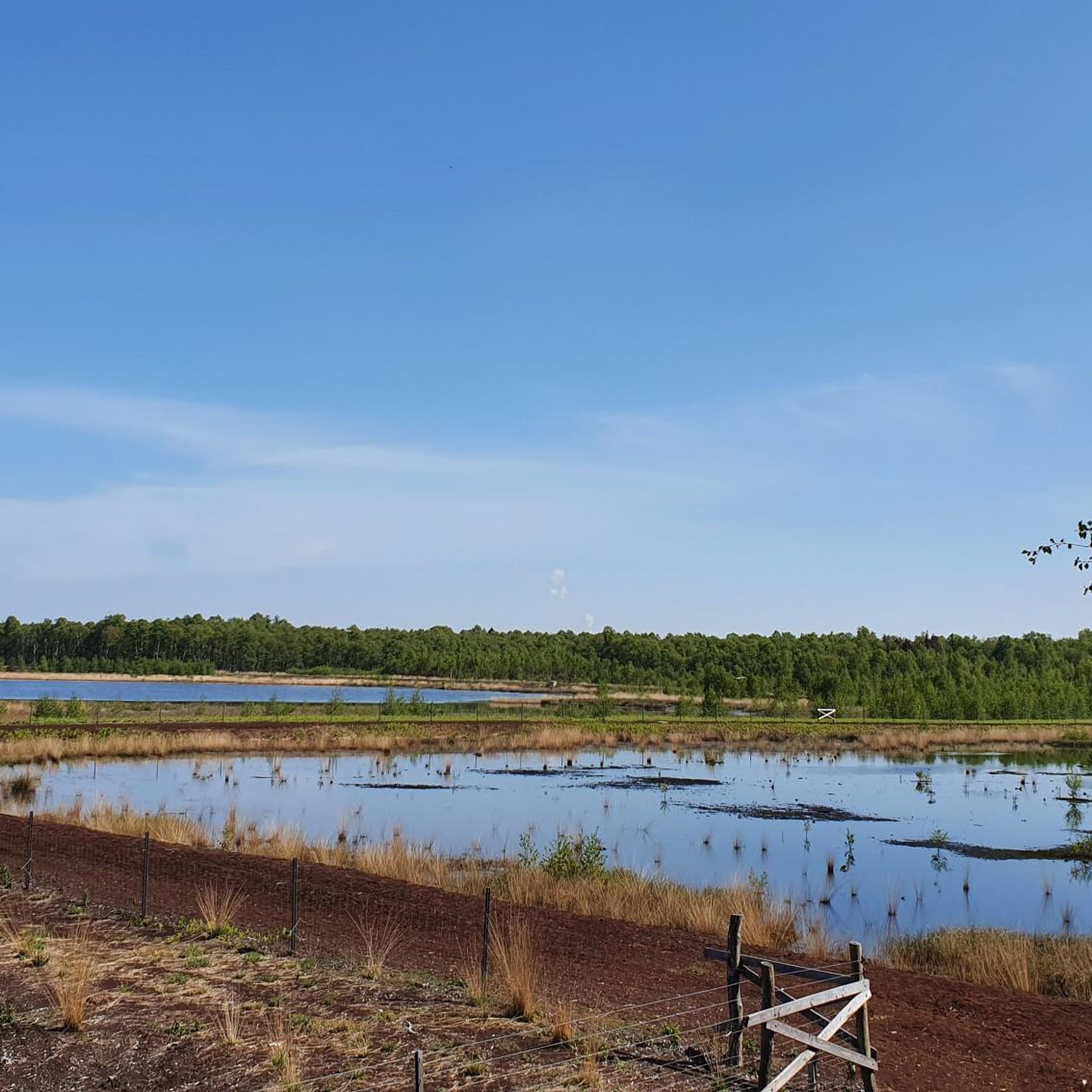
Road cycling around Dalum-Wietmarscher Moor is characterized by its flat terrain and extensive network of paths alongside canals and through open moorland. The region, located in Landkreis Grafschaft Bentheim, offers routes with minimal elevation gain, making it suitable for various fitness levels. Cyclists can expect to navigate through a landscape shaped by waterways and agricultural areas, providing a consistent and accessible riding experience. The area's natural park setting ensures a focus on the outdoor environment.
Best road cycling routes around…
Last updated: July 1, 2026
4.0
(1)
4
riders
23.4km
01:00
30m
30m
Moderate road ride. Great for any fitness level. Some segments of this route may be unpaved and difficult to ride.
5.0
(2)
26
riders
Moderate road ride. Good fitness required. Some segments of this route may be unpaved and difficult to ride.

Sign up for free
9
riders
65.1km
02:30
70m
70m
Moderate road ride. Good fitness required. Mostly well-paved surfaces and easy to ride.
3.0
(1)
11
riders
87.0km
04:01
240m
240m
Moderate road ride. Good fitness required. Some segments of this route may be unpaved and difficult to ride.
6
riders
Moderate road ride. Good fitness required. Mostly well-paved surfaces and easy to ride.
Get access to more routes and recommendations from other explorers.
Sign up for free
Already have an account?
Our route recommendations are based on thousands of hikes, rides, and runs completed by other people on komoot.
Start today with a free account
Your next adventure awaits.
Login or Signup
Tips from the Community


Always nice and also good for a break
0
0
It's lovely there by the canal.
0
0

The Klausheide estate, originally known as Clausheide Estate, located in the Klausheide district near Nordhorn in the county of Bentheim, was founded in 1914 by the German industrialist couple Bertha and Gustav Krupp von Bohlen und Halbach with the goal of establishing a model agricultural estate. Today, it is an AWO residential home for people with chronic, multiple disabilities and addictions. (Source: Wikipedia)
0
0


It's worth taking a break here, cheap and with a wide selection
0
0

With everything that makes Wietmarschen worth seeing and visiting, one shouldn't forget the Bauschulte restaurant! A tradition that will hopefully continue for a long time to come.
0
0

Beautiful view over the Ems floodplain
5
0
Frequently Asked Questions
What kind of terrain can I expect when road cycling in Dalum-Wietmarscher Moor?
Road cycling in Dalum-Wietmarscher Moor is characterized by its predominantly flat terrain. You'll find extensive networks of paths alongside canals and through open moorland and agricultural areas, offering routes with minimal elevation gain.
Are there road cycling routes suitable for beginners or families in Dalum-Wietmarscher Moor?
Yes, Dalum-Wietmarscher Moor is well-suited for beginners and families due to its flat landscape and minimal elevation changes. There are 33 easy road cycling routes available, providing a gentle and accessible riding experience.
What is the typical length of road cycling routes in Dalum-Wietmarscher Moor?
Route lengths vary, but many options are available for different preferences. For example, the Neuringe Shelter – Border Path loop from Hengstkampkuhlen is 14.6 miles (23.5 km), while the Canal Bridge at Adorf – Georgsdorf Windmill loop from Georgsdorf extends to 40.3 miles (64.9 km).
Are there any circular road cycling routes in the area?
Yes, many road cycling routes in Dalum-Wietmarscher Moor are designed as loops. Examples include the popular Lock I on the South-North Canal – South-North Canal loop from In der Schanze and the Lengerich Town Center – Old Lock loop from Großer Sand.
What can I see along the road cycling routes in Dalum-Wietmarscher Moor?
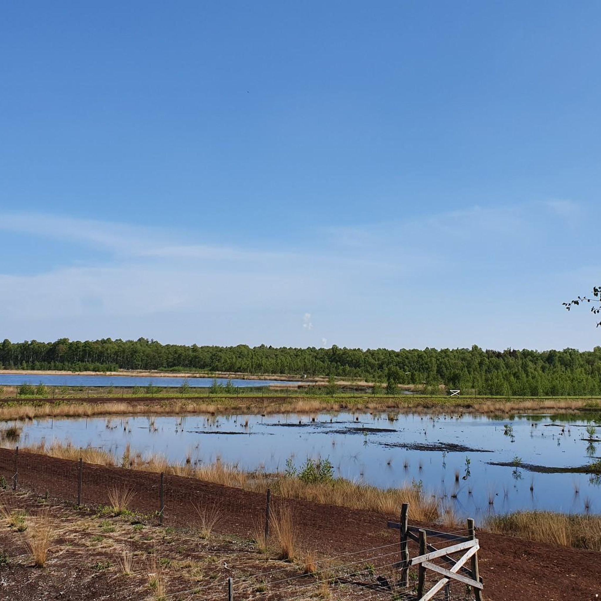
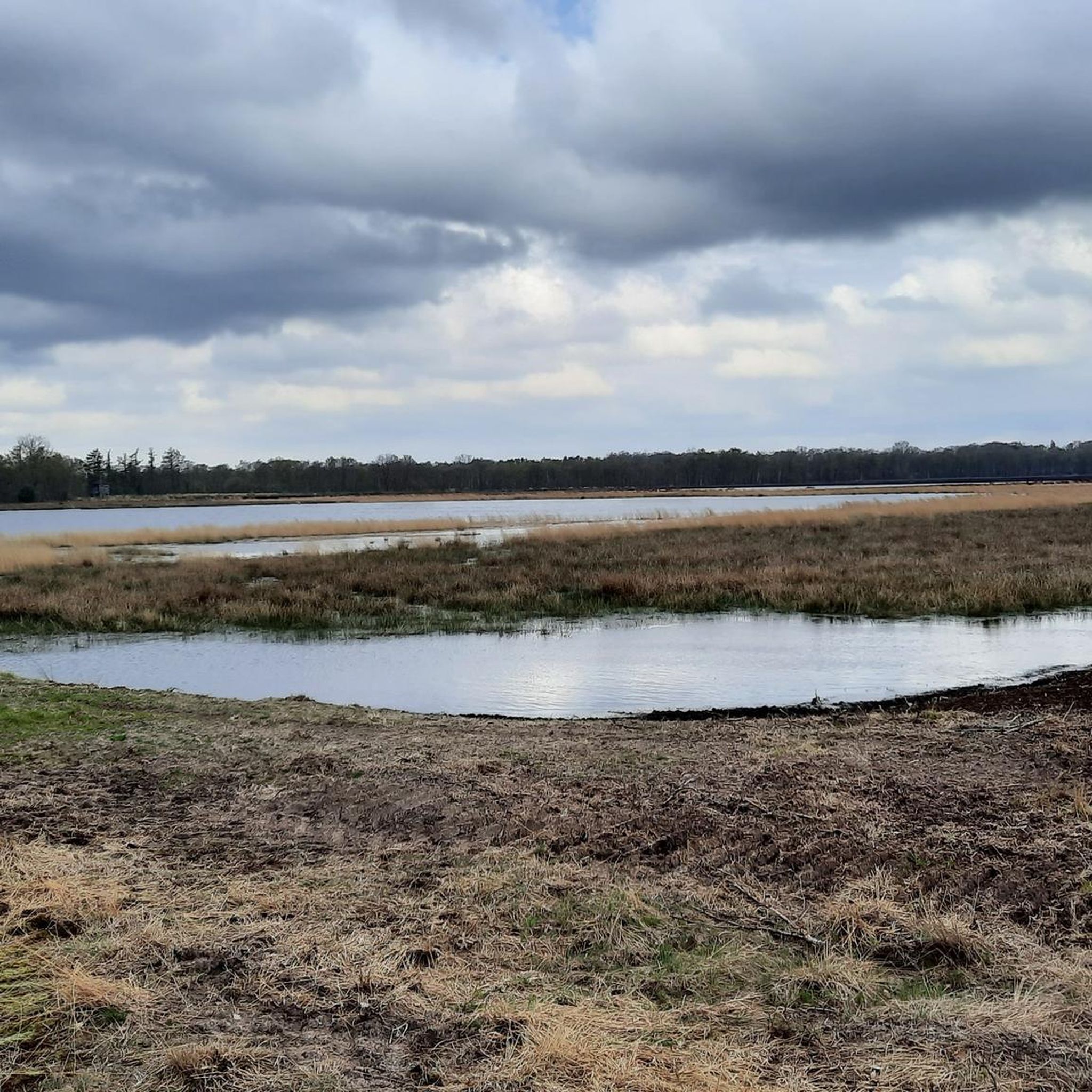
The routes offer views of the natural park setting, canals, and agricultural landscapes. You can also find interesting points like the Scenic viewpoint over the Wietmarscher Moor, the Füchtenfelder Moor Observation Tower, or the Dalumer Moor Viewing Platform.
What do other road cyclists enjoy most about road cycling in Dalum-Wietmarscher Moor?
The area is highly rated by the komoot community, with an average score of 4.5 stars from over 140 reviews. Cyclists often praise the flat, consistent surfaces along canals and through moorland, making it enjoyable for various ability levels.
Are there any specific viewpoints or natural landmarks to look out for?
Yes, several viewpoints offer scenic vistas over the unique moorland landscape. Consider visiting the Scenic viewpoint over the Wietmarscher Moor or the Füchtenfelder Moor Observation Tower for elevated perspectives.
What is the best time of year for road cycling in Dalum-Wietmarscher Moor?
The flat terrain makes road cycling enjoyable for much of the year. Spring and summer offer pleasant temperatures and lush green landscapes. Autumn can also be beautiful with changing colors, while winter might be suitable for those who don't mind cooler temperatures, as the routes remain accessible.
Are there any longer or more challenging road cycling routes for advanced riders?
While the region is generally flat, some routes offer longer distances for advanced riders seeking endurance challenges. For instance, the Ems River – Dortmund-Ems Canal at Varloh loop from Großer Sand covers 33.9 miles (54.6 km), providing a substantial ride without significant climbs.
Where can I find parking for road cycling trails in Dalum-Wietmarscher Moor?
Many routes start from towns or villages within the region, where public parking is generally available. It's advisable to check the specific starting point of your chosen route on komoot for detailed parking information.
What kind of wildlife might I encounter while road cycling?
Given the natural park setting and moorland environment, you might spot various bird species, especially near canals and open fields. The region's focus on nature conservation means you're cycling through habitats for local flora and fauna.
Most popular routes around Dalum-Wietmarscher Moor
Most popular attractions around Dalum-Wietmarscher Moor

Get inspired with the komoot mobile app


Explore more
Browse the best Road cycling routes in other regions.
