The best walks and hikes around Ponteareas
4.1
(213)
399
hikers
17
hikes
Hiking around Ponteareas offers diverse natural landscapes, characterized by riverine ecosystems, forested areas, and notable mountain peaks. The region features the Río Tea, which carves through varied terrain, and hills such as Alto de Galleiro and Monte de A Picaraña, providing elevated viewpoints. These physical features create a varied environment for outdoor activities.
Best hiking trails around Ponteareas
- The most popular hiking route is Alto de Galleiro Loop, a 5.5 miles (8.8 km) trail that takes 2 hours 49 minutes to complete. This moderate route ascends to panoramic vistas of the Galician coast.
- Another top favourite among local hikers is Río Tea and Alto do Marco Loop, a difficult 11.8 miles (19.0 km) path. This trail showcases diverse forests and historical river landscapes along the Río Tea.
- Local hikers also love the A Fábrica da Lus – Remedios Bridge loop from O Condado, a 9.8 miles (15.8 km) trail leading through riverine areas, often completed in about 4 hours 6 minutes.
- Hiking around Ponteareas is defined by riverine ecosystems, forested slopes, and hills offering panoramic views. The network offers options for different ability levels, from easy paths to more challenging ascents.
- The routes in Ponteareas are highly rated by the komoot community with an average score of 4.2 stars from over 190 reviews. More than 380 hikers have used komoot to explore Ponteareas's varied terrain.
Last updated: July 7, 2026
4.0
(1)
11
hikers
8.80km
02:49
380m
380m
Hike the Alto de Galleiro — circular trail for panoramic views of the Galician coast, including Vigo and the Cíes Islands.
3.0
(1)
1
hikers
18.9km
05:45
610m
610m
Hike the difficult 11.8-mile Río Tea and Alto do Marco Loop, gaining 1999 feet through diverse forests and historical river landscapes.

Sign up for free
3.1
(51)
16
hikers
15.8km
04:06
100m
100m
Moderate hike. Good fitness required. Easily-accessible paths. Suitable for all skill levels.
4.5
(4)
7
hikers
8.30km
02:37
330m
330m
Moderate hike. Good fitness required. Easily-accessible paths. Suitable for all skill levels.
4.0
(2)
8
hikers
9.16km
02:22
50m
50m
Moderate hike. Good fitness required. Easily-accessible paths. Suitable for all skill levels.
Get access to more routes and recommendations from other explorers.
Sign up for free
Already have an account?
Our route recommendations are based on thousands of hikes, rides, and runs completed by other people on komoot.
Start today with a free account
Your next adventure awaits.
Login or Signup

Tips from the Community

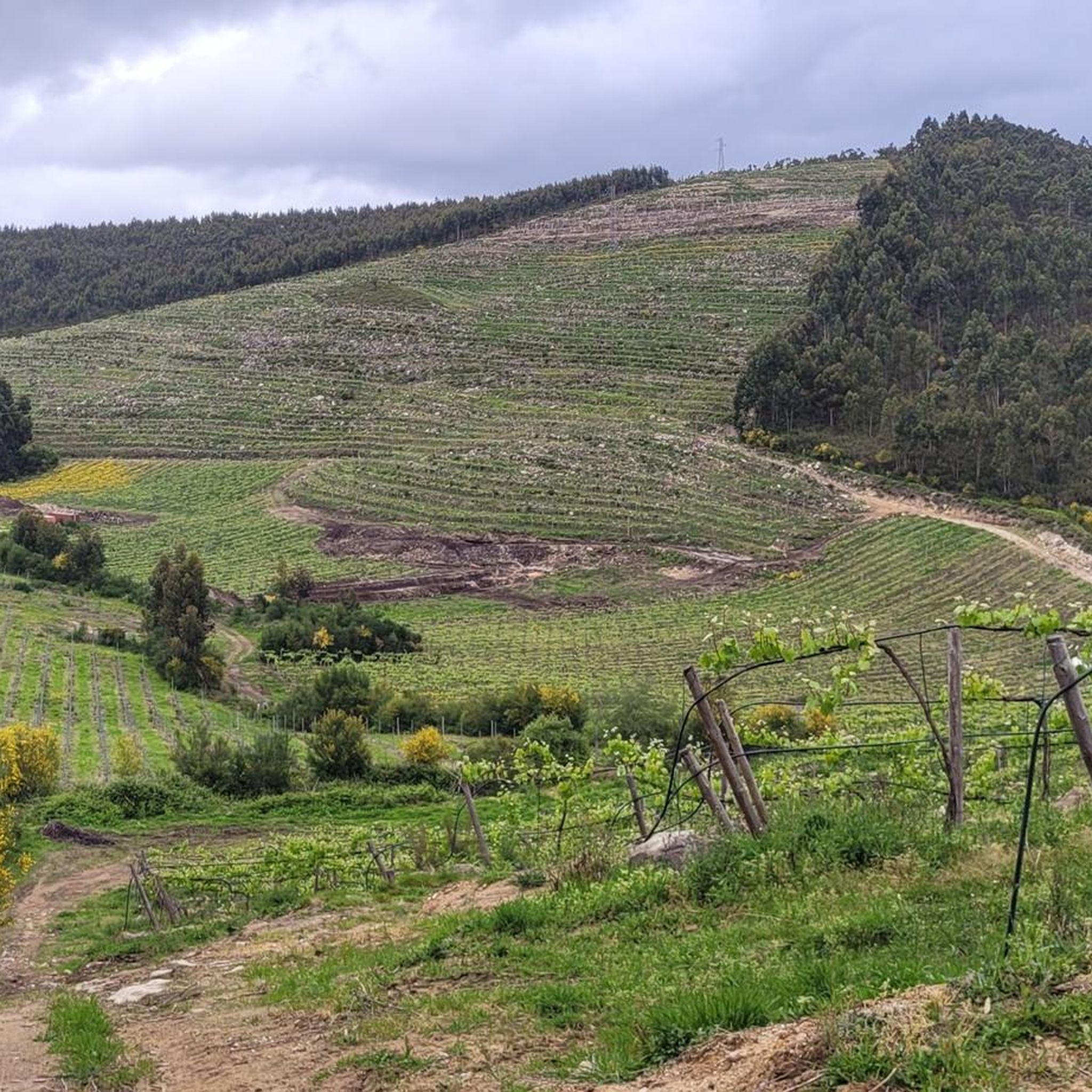
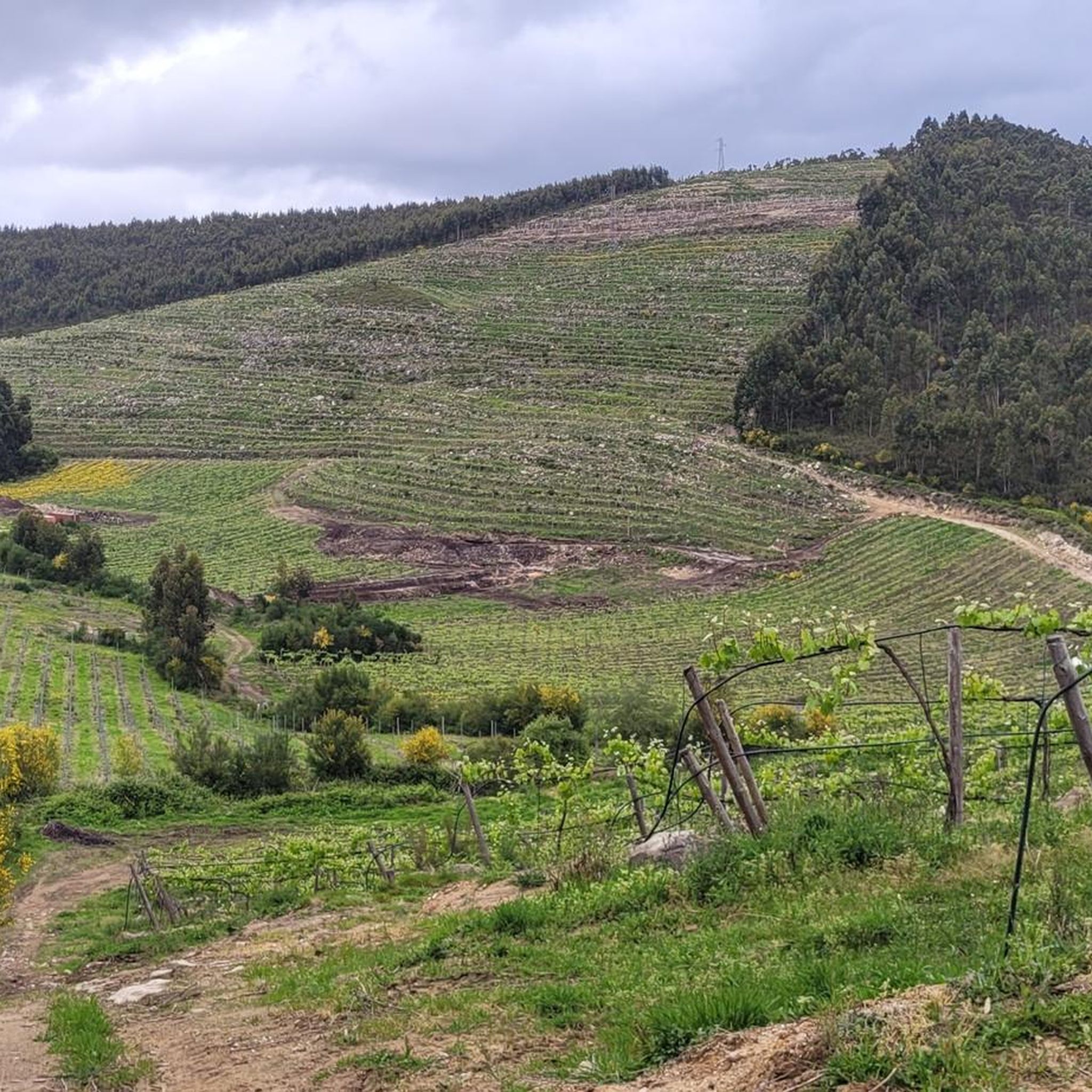
Monte O Galleiro (748 m), located in the municipality of Mos, near Vigo, is a popular destination for hiking due to its well-marked routes and its impressive panoramic views of the Vigo Estuary and the surrounding area. It is part of the Serra do Galleiro and is surrounded by native vegetation, pine forests and eucalyptus trees. It is ideal for outdoor activities and enjoying Galician nature.
1
0

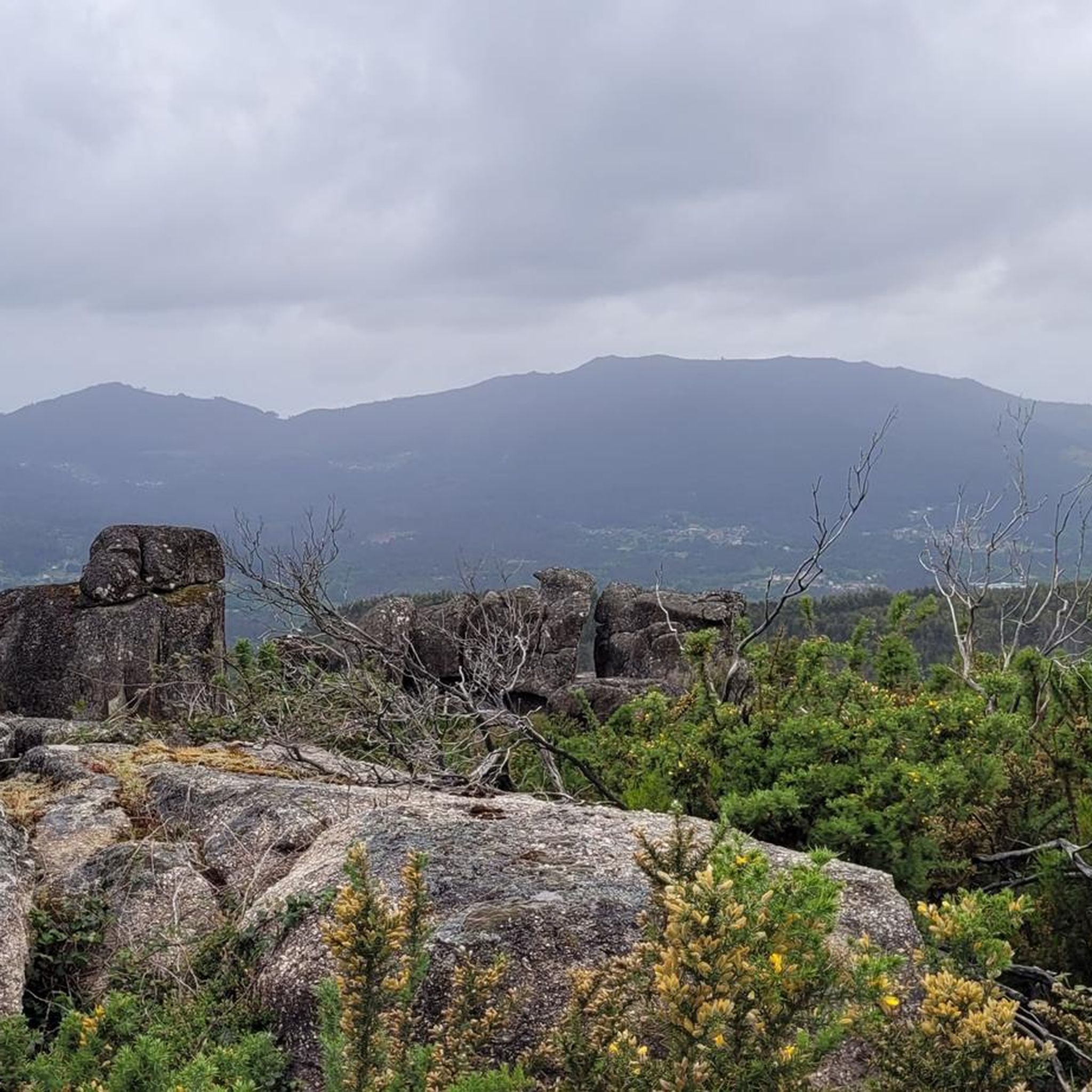
The walk to Salgueirón from the Tea River valley will be tough, but rewarding. The path runs through a mixed terrain of forest trails surrounded by pine trees and mature oak trees. The panoramic views from the top are spectacular on a busy day.
1
0
The constant flow of the Tea River southwards into the Miño River creates these natural pools on the banks of the river for everyone to enjoy. Jump in to cool off on a summer day.
0
0
A beautiful river beach on the Tea River north of the town of Ponteareas. Enjoy a wild swim in this unique river landscape.
1
0
On a small plateau at the top of this mountain, a natural pool accumulates rainwater that falls on this high mountain. Without a doubt, many animals use this beautiful natural lagoon after sunset.
0
0
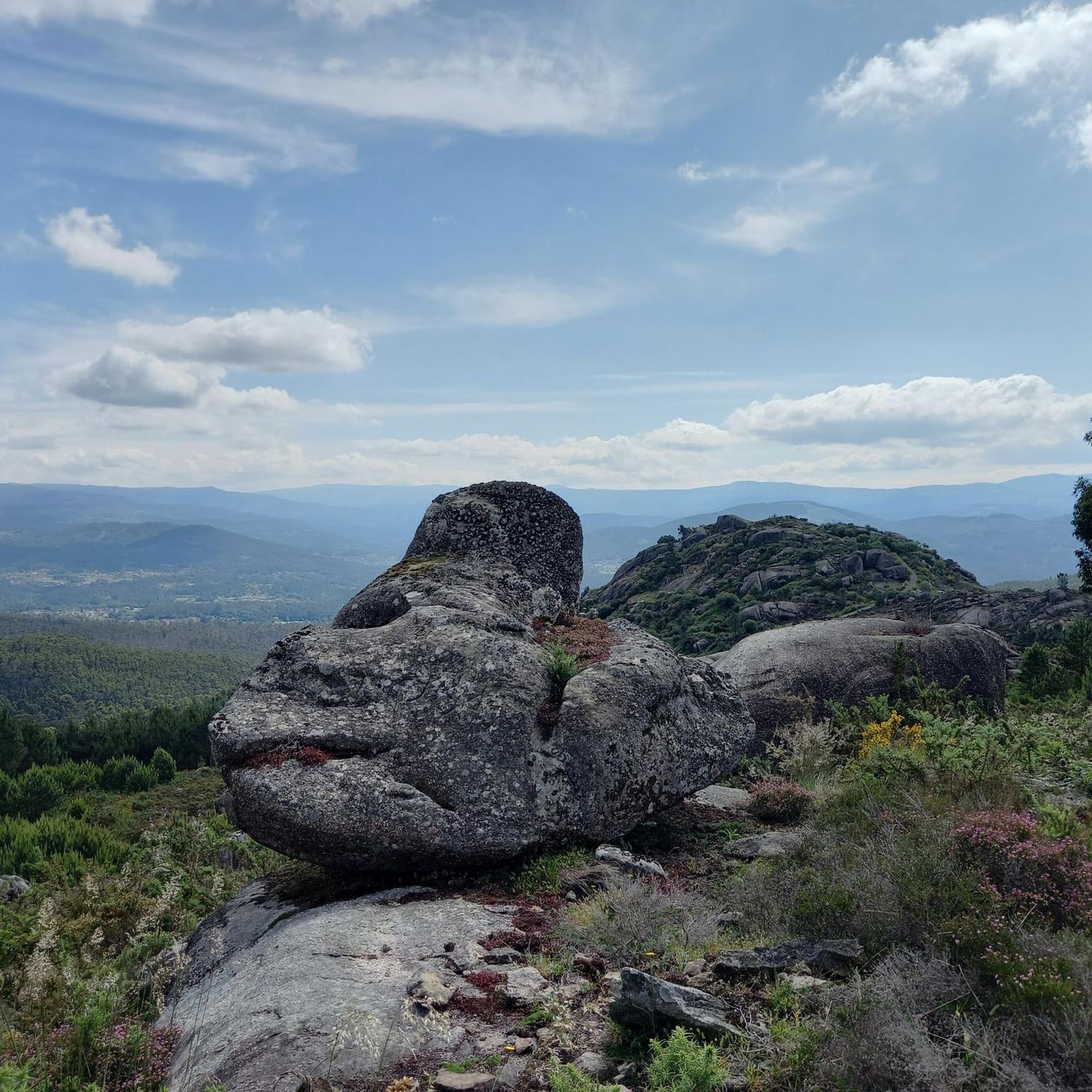
At 750 meters above sea level One of the highest points in the province of Pontevedra and the highest near the coast, from where you can have spectacular panoramic views of the surrounding landscape.
0
0
Famous thermal spa town. Great place to relax and recover after a day of cycling on the mountain roads
0
0

Thermal complex located in the municipality of Mondariz-Balneario.
0
0
Frequently Asked Questions
How many hiking trails are available in Ponteareas?
Ponteareas offers a diverse selection of over 15 hiking routes. These trails cater to various skill levels, ranging from easy strolls to more demanding ascents, ensuring there's an option for every hiker.
Are there easy hiking trails in Ponteareas suitable for beginners or families?
Yes, Ponteareas has 5 easy hiking trails perfect for beginners or families. These routes typically involve less than 300 meters of elevation gain and can be completed in under 2 hours, offering a gentle introduction to the region's natural beauty. They often follow riverine paths with lush vegetation.
Where can I find challenging hikes in Ponteareas?
For experienced hikers seeking a challenge, Ponteareas features 2 difficult routes. One notable option is the Río Tea and Alto do Marco Loop, which spans nearly 19 kilometers and involves significant elevation changes, showcasing diverse forests and historical river landscapes along the Río Tea.
Are there any circular hiking routes in Ponteareas?
Yes, many of the trails in Ponteareas are circular, allowing you to start and end at the same point. For example, the A Fábrica da Lus – Remedios Bridge loop from O Condado is a popular circular route that takes you through scenic riverine areas.
What kind of views can I expect on hikes around Ponteareas?
Hiking in Ponteareas offers a variety of stunning views. Trails like the Alto de Galleiro Loop provide panoramic vistas of the Galician coast, including the city of Vigo and the Cíes Islands. Other routes ascend to peaks like Monte de A Picaraña, offering expansive views of the surrounding landscape and forested slopes.
What are some interesting natural features or landmarks to see while hiking?
Ponteareas is rich in natural and historical landmarks. Along the trails, you can explore riverine ecosystems, dense forests, and notable mountain peaks. Highlights include the Roman Bridge of Orbenlle and the Pilgrims' Bridge. The Río Tea itself is a central natural feature, with lush riparian vegetation.
What is the best time of year to go hiking in Ponteareas?
The best time to hike in Ponteareas is generally during spring and autumn when the weather is mild and the natural scenery is vibrant. Summers can be warm, while winters are typically cooler and wetter, though hiking is possible year-round with appropriate gear.
Is it possible to reach hiking trailheads in Ponteareas using public transport?
While some trailheads might be accessible via local bus services, many routes in Ponteareas are best reached by car. It's advisable to check local public transport schedules and routes in advance, as services to more remote areas can be limited.
Are there places to eat or stay near the hiking trails in Ponteareas?
Ponteareas and its surrounding villages offer various options for dining and accommodation. You'll find local restaurants and cafes in the town center, and some smaller establishments might be located closer to popular trailheads. For specific recommendations, it's best to check local listings or inquire in Ponteareas itself.
What do other hikers enjoy most about hiking in Ponteareas?
The hiking experience in Ponteareas is highly rated by the komoot community, with an average score of 4.2 stars from over 190 reviews. Hikers often praise the diverse natural landscapes, the tranquility of the riverine paths, and the rewarding panoramic views from the mountain peaks.
Are there any specific peaks or summits I can hike to in Ponteareas?
Yes, the region boasts several accessible peaks. You can hike to Alto San Nomedio Summit, Monte Galiñeiro, or Alto de San Cibrán. These offer varying levels of challenge and provide excellent vantage points for enjoying the Galician scenery.
Most popular routes around Ponteareas
Most popular attractions around Ponteareas

Get inspired with the komoot mobile app


Explore more
Browse the best Hikes in other regions.
