The best running trails around San Millán De Lara
131
runners
10
runs
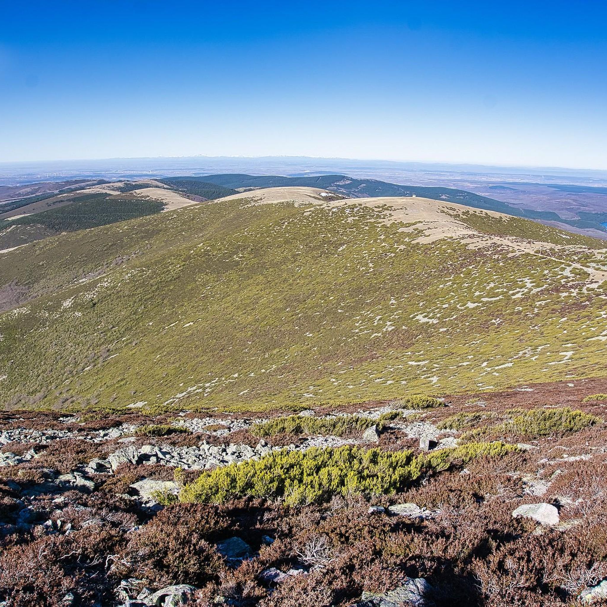
Jogging routes around San Millán De Lara are set within the Sierra de la Demanda region, southeast of Burgos, Spain. This area is characterized by its diverse natural landscapes, including forests of oak and pine, and river valleys. The terrain varies from accessible paths to more rugged mountain trails, with significant elevation changes. Pico San Millán, the highest peak in Burgos at 2,131 meters, is a prominent landmark offering challenging ascents and panoramic views for runners.
Best jogging routes around…
Last updated: June 28, 2026
35
runners
10.1km
01:50
730m
730m
Hard run. Very good fitness required. Mostly paved surfaces. Suitable for all skill levels.
25
runners
35.1km
05:27
1,720m
1,720m
Hard run. Very good fitness required. Sure-footedness, sturdy shoes and alpine experience required.

Sign up for free
26
runners
29.8km
05:01
1,780m
1,780m
Hard run. Very good fitness required. Sure-footedness, sturdy shoes and alpine experience required.
12
runners
18.5km
02:46
900m
900m
Hard run. Very good fitness required. Mostly paved surfaces. Suitable for all skill levels.
7
runners
22.7km
03:09
820m
820m
Hard run. Very good fitness required. Mostly paved surfaces. Suitable for all skill levels.
Get access to more routes and recommendations from other explorers.
Sign up for free
Already have an account?
Our route recommendations are based on thousands of hikes, rides, and runs completed by other people on komoot.
Start today with a free account
Your next adventure awaits.
Login or Signup


Tips from the Community

Spectacular area for hiking routes
0
0
a highly recommended area for hiking.
0
1

There is always the solution to difficult points: doing them by road.
0
0

There are many routes, both easy and difficult, to choose from. The Sierra is very beautiful, especially in autumn.
0
0

A beautiful area. Ideal for cycling
0
0

The railway crossed this port through a tunnel. When making the greenway, the original route was not recovered, so the arrival and departure of the port are two very steep slopes. Most panniers make them by pushing the bike.
1
0

The path leaves El Portillo on the east side, goes up a few meters along a channel and enters the north side. If the mountain has snow, this section is dangerous because the cold and shady conditions keep the path icy and the fall is fatal; crampons and ice axes would be essential. The alternative is to climb directly along the channel on the east face, with less slope, sunnier and direct to the summit of San Millán (2,131 m), also called El Torruco. At the top there is a small circular stone tower adorned with a metal house and other festival motifs left by mountaineers. The southern slope of the mountain is a large mass of gentle slopes with no remains of glacial activity towards the valley of the Arlanzón River. The descent continues along the west face, enjoying extraordinary views of the Urbión River valley and the glacial cirque where the San Millán lagoon appears half frozen.
0
0

From the top of Pico Mencilla, you can see Pico Trigaza and San Millan
1
0
Frequently Asked Questions
How many running routes are available in San Millán De Lara?
There are 13 dedicated running routes around San Millán De Lara documented on komoot, offering a range of experiences within the Sierra de la Demanda.
What kind of terrain can I expect on the running trails around San Millán De Lara?
The region offers a diverse mix of terrain, from accessible paths to more rugged mountain trails. You'll encounter beautiful forests of oak and pine, river valleys, and significant ascents towards high-altitude peaks like Pico San Millán. Expect varied surfaces, including natural earth, gravel, and some paved sections.
Are there any easy or beginner-friendly running routes in the area?
While many routes in San Millán De Lara are classified as difficult due to significant elevation changes, there is one moderate route available. For those seeking a less strenuous experience, consider exploring sections of the extensive trail network that are flatter or shorter, though specific easy routes are not prominently featured in the current selection.
Can I find long-distance running challenges in San Millán De Lara?
Absolutely. The area is ideal for long-distance running, with routes like the San Millán loop from Valle del Sol, which spans 34.8 km with significant elevation gain. The broader GR-82 Sierra de la Demanda long-distance trail also passes through the region, offering extensive sections suitable for endurance runs.
Are there circular running routes available?
Yes, many of the popular running routes in San Millán De Lara are circular, allowing you to start and finish at the same point. Examples include the challenging Pineda de la Sierra – San Millán (2,131 m) loop from Pineda de la Sierra and the Tres Mojones – San Millán loop from Pineda de la Sierra.
What natural features or landmarks can I see while jogging in San Millán De Lara?
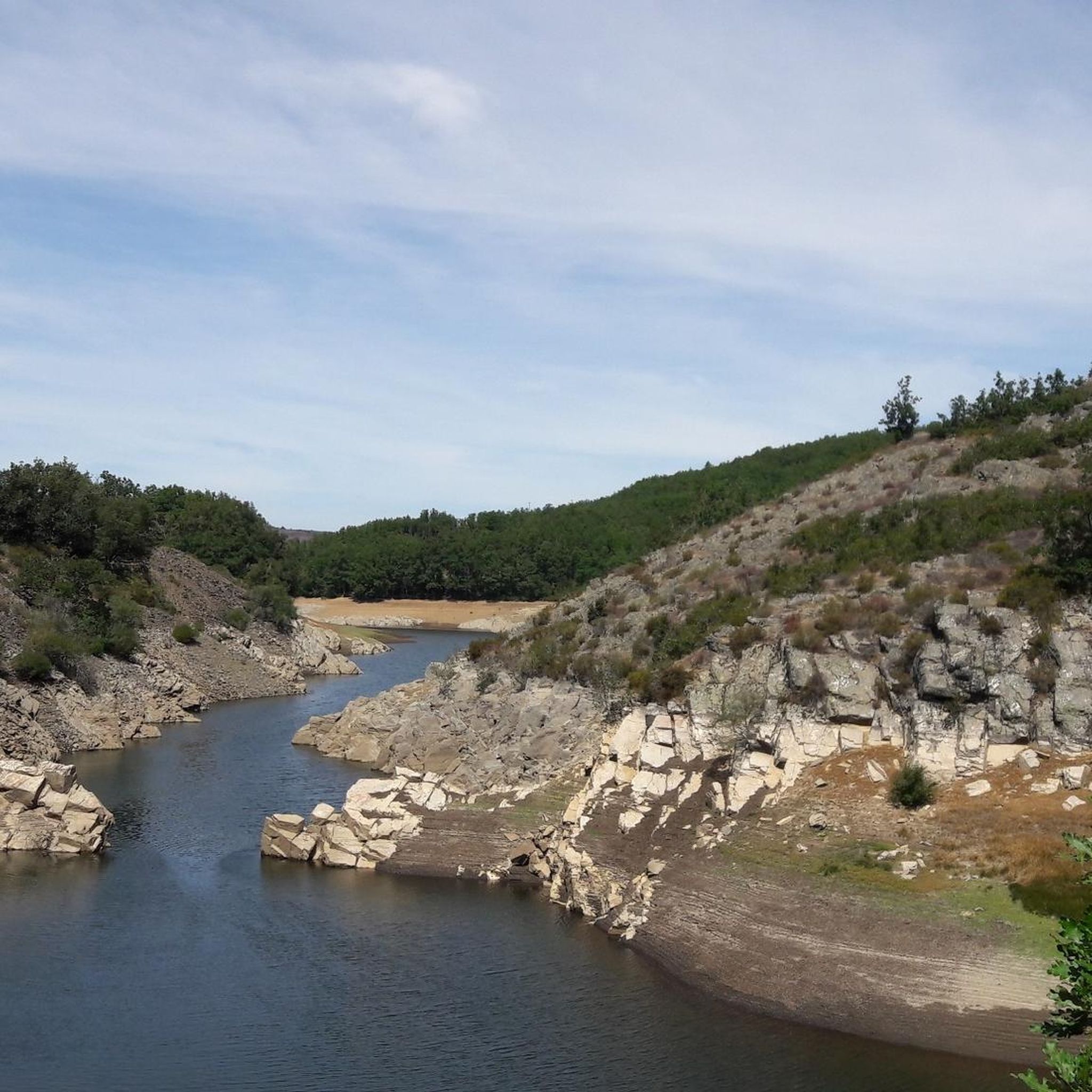
The running routes offer stunning views of the Sierra de la Demanda. You can encounter prominent landmarks such as San Millán (2,131 m), the highest peak in Burgos, and the scenic Puerto del Manquillo mountain pass. Keep an eye out for beautiful forests of oak and pine, and enjoy beautiful views over the Arlanzón reservoir.
Are the running trails in San Millán De Lara suitable for families?
Many of the routes in San Millán De Lara are classified as difficult due to significant elevation and distance, making them more suitable for experienced runners. For families, it's advisable to seek out shorter, less challenging sections of trails or paths with minimal elevation gain. Always check the route details for distance and elevation before heading out with children.
Are dogs allowed on the running routes?
The Sierra de la Demanda region is generally dog-friendly, offering many natural trails where dogs can accompany you. However, it's always recommended to keep your dog on a leash, especially in areas with wildlife or livestock, and to check local regulations for specific trails or protected areas.
Where can I park when accessing the running trails?
Specific parking information for each route is best found on the individual komoot tour pages. However, common starting points like Pineda de la Sierra, which is featured in several routes such as the Puerto del Manquillo – Pineda de la Sierra loop, typically offer parking options for trail users.
What is the best time of year to go running in San Millán De Lara?
The region's diverse climate means spring and autumn generally offer the most pleasant conditions for running, with mild temperatures and vibrant natural scenery. Summer can be warm, especially at lower elevations, while winter brings the possibility of snow and colder temperatures, particularly at higher altitudes like Pico San Millán, requiring appropriate gear and caution.
What should I wear for running in this region?
Given the varied terrain and potential for significant elevation changes, it's advisable to wear appropriate trail running shoes with good grip. Layered clothing is recommended to adapt to changing temperatures, especially when ascending to higher peaks. Always carry water, and consider a lightweight windbreaker or waterproof jacket, even on clear days.
Are there any places to stop for refreshments near the trails?
While the trails themselves are primarily natural and remote, villages like Pineda de la Sierra, which serves as a starting point for several routes, may offer cafes or small establishments where you can find refreshments before or after your run. It's always a good idea to carry sufficient water and snacks, especially on longer routes.
Most popular attractions around San Millán De Lara

Get inspired with the komoot mobile app


Explore more
Browse the best Running Trails & Routes in other regions.
