The best walks and hikes around Haler Feld-Vogelpohl
4.5
(5632)
24,896
hikers
911
hikes
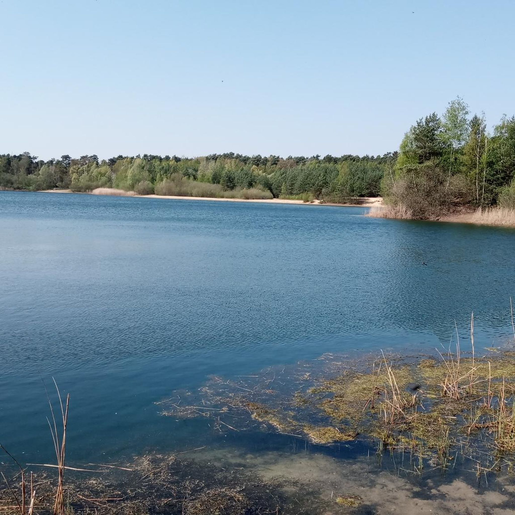
Hiking trails around Haler Feld-Vogelpohl, located in the Kreis Steinfurt region, offer diverse landscapes for outdoor activities. The area features a natural park with accessible paths suitable for various fitness levels. Notable natural features include Niedringhaussee and the Naturschutzgebiet Bramegge. The terrain consists of generally flat to gently rolling paths, with minimal elevation changes.
Best hiking trails around Haler Feld-Vogelpohl
- The most popular hiking route is South shore of Niedringhaussee – Niedringhaussee loop from Haler Feld-Vogelpohl, an easy 3.5…
Last updated: July 5, 2026
5.0
(6)
20
hikers
Easy hike. Great for any fitness level. Easily-accessible paths. Suitable for all skill levels.
4.7
(9)
25
hikers
10.1km
02:37
60m
60m
Moderate hike. Good fitness required. Easily-accessible paths. Suitable for all skill levels.

Sign up for free
5.0
(1)
3
hikers
17.0km
04:23
80m
80m
Moderate hike. Good fitness required. Easily-accessible paths. Suitable for all skill levels.
5.0
(2)
5
hikers
10.6km
02:43
50m
50m
Moderate hike. Good fitness required. Easily-accessible paths. Suitable for all skill levels.
4.0
(1)
5
hikers
9.18km
02:20
20m
20m
Moderate hike. Good fitness required. Easily-accessible paths. Suitable for all skill levels.
Get access to more routes and recommendations from other explorers.
Sign up for free
Already have an account?
Our route recommendations are based on thousands of hikes, rides, and runs completed by other people on komoot.
Start today with a free account
Your next adventure awaits.
Login or Signup
Tips from the Community

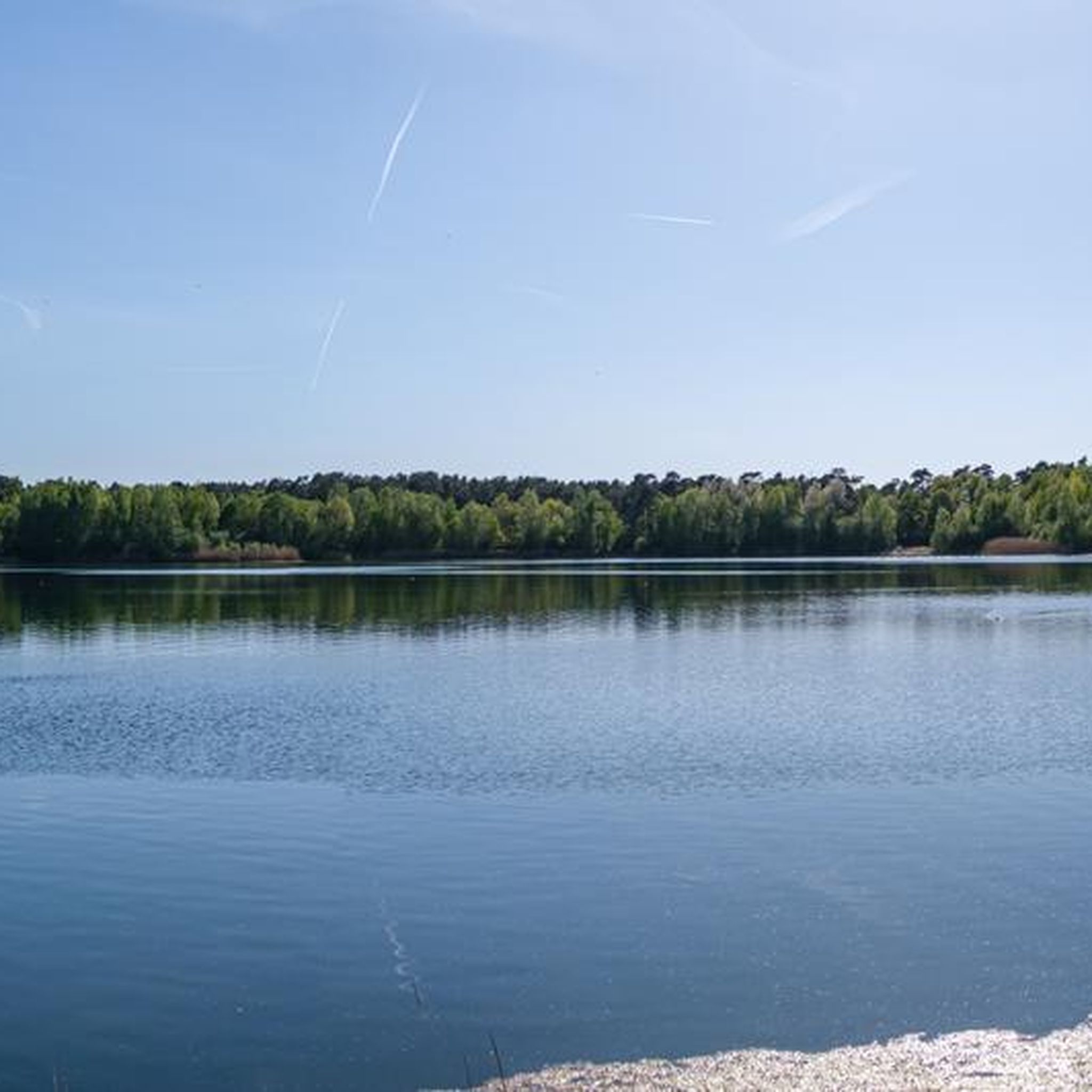
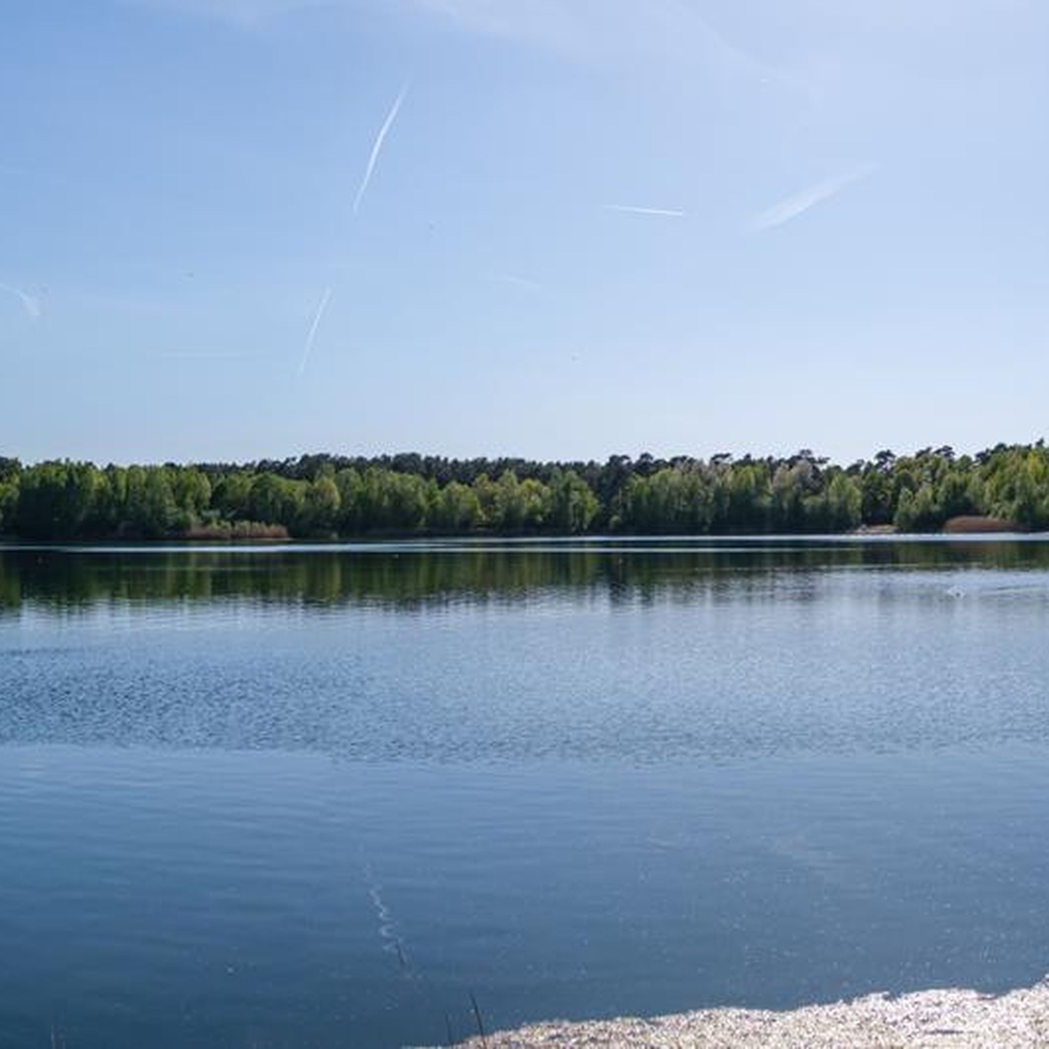
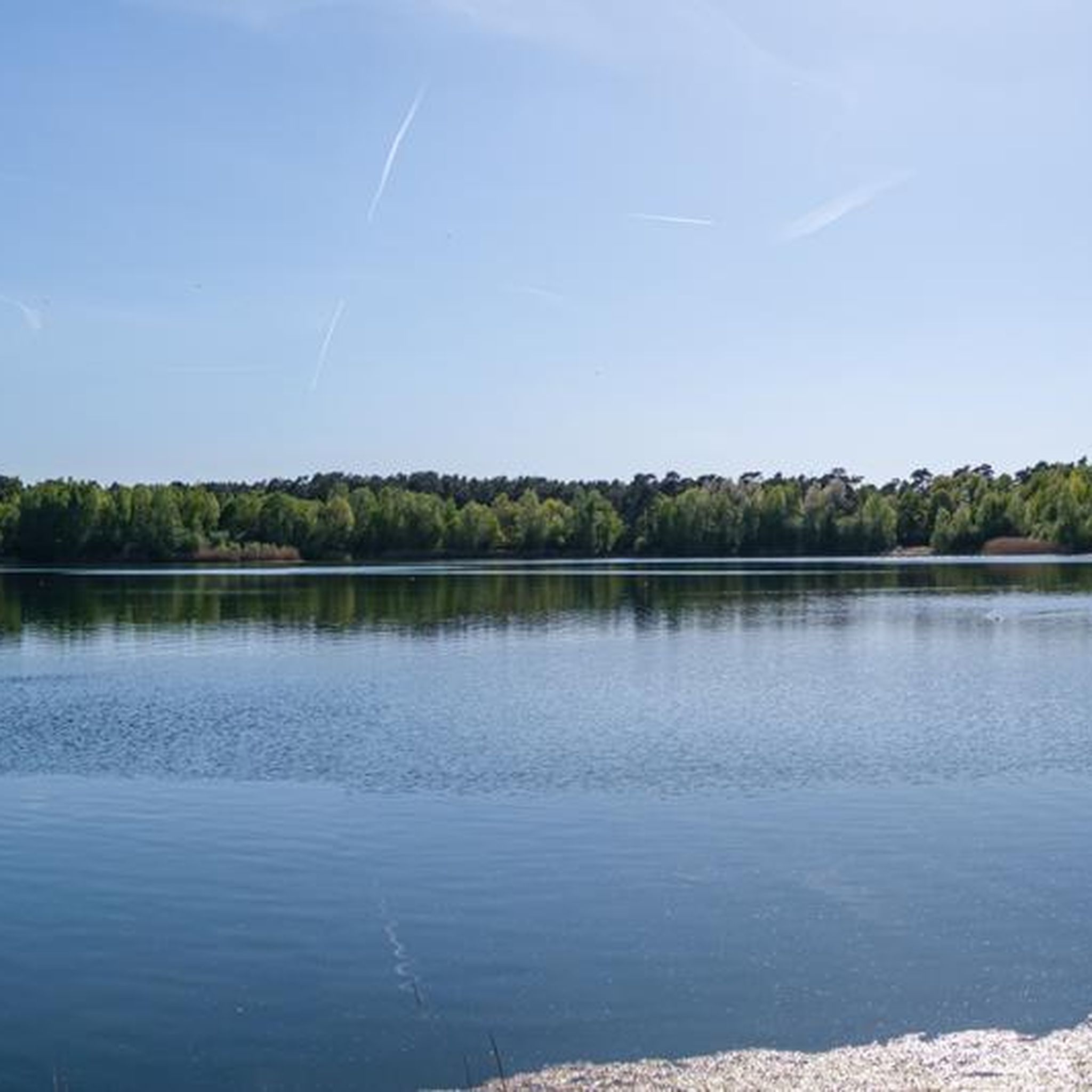
It is not only worth taking a detour to the Niedringhaussee, all the highlights are worth seeing. This tour consists of a beautiful circular route, varying from fields and meadows to forests and the beautiful Niedringhaussee with its crystal-clear water and several small sandy beaches. I say, a premium hiking trail.
0
0

I would avoid the roads that are accessible by car, at least after rain. They're completely churned up and muddy.
0
0

At this point you will find station 9 of the Westerkappeln nature trail: "Düsterdieker Niederung nature reserve". Families can find an accompanying brochure with further tips and information for the nature trail: https://lmy.de/LFVRG
0
0

Here you can enjoy the view of the lake from the Teutoschleifenbank.
0
0
There is a forest lounger right next to the railway line and the Teutoschleife. If you like shade without a view, it is ideal for a break.
1
0
A beautiful property. There is also an information board at the rest area.
2
0
A nice surprise at the rest area. For a donation of at least €1 you can get various drinks from the underground.
1
0
Various types of honey and other beekeeping products are available to purchase here.
1
0
Frequently Asked Questions
How many hiking trails are available in Haler Feld-Vogelpohl?
There are over 900 hiking routes in Haler Feld-Vogelpohl, offering a wide variety of options for all skill levels. This includes more than 600 easy trails, nearly 300 moderate routes, and a few more challenging excursions.
What is the general difficulty level of hiking trails in Haler Feld-Vogelpohl?
The trails in Haler Feld-Vogelpohl are predominantly easy to moderate, making them suitable for a broad range of hikers. Many paths are described as 'easily accessible,' ensuring a pleasant experience for most visitors. While the majority are gentle, there are also some moderate routes for those seeking a longer or slightly more strenuous walk.
Are there circular hiking routes in Haler Feld-Vogelpohl?
Yes, many of the hiking routes in Haler Feld-Vogelpohl are circular, allowing you to start and end your journey at the same point. For example, the Niedringhaussee – Lindenhof Honey Station loop from Halen offers a moderate 17 km circular experience.
What natural features can I expect to see while hiking?
Haler Feld-Vogelpohl is characterized by its diverse natural landscapes. A prominent feature is the Niedringhaussee (Niedringhaus Lake), which is central to many scenic routes. You can also explore the tranquil Bramegge Nature Reserve loop from Seester Feld, offering a chance to experience the area's protected natural beauty.
Are there any specific landmarks or points of interest along the trails?
Yes, beyond the natural beauty, you can discover several points of interest. For instance, you might encounter the Sand Pit in Natur- und Geopark TERRA.vita or enjoy a View of the Beckelburger Land Training Area Biotope. The region also features the Tiefes Reck Wetland, providing varied scenery during your hike.
Are the hiking trails in Haler Feld-Vogelpohl suitable for families with children?
Many trails in Haler Feld-Vogelpohl are well-suited for families due to their generally easy difficulty and accessible paths. Routes around Niedringhaussee, such as the South shore of Niedringhaussee – Niedringhaussee loop from Haler Feld-Vogelpohl, are particularly good options for a pleasant family outing.
What do other hikers enjoy the most about hiking in Haler Feld-Vogelpohl?
The area is highly rated by the komoot community, with an average score of 4.6 stars from over 5,100 reviews. Hikers often praise the diverse landscapes, the serene atmosphere around Niedringhaussee, and the well-maintained, easily accessible paths that cater to various fitness levels.
Are there any routes that combine lake views with other scenery?
Absolutely. Many routes in Haler Feld-Vogelpohl offer a mix of lake views and other natural landscapes. The Lindenhof Honey Station – Niedringhaussee loop from Halen is a moderate 10.1 km path that winds through varied terrain, including sections near Niedringhaussee, providing a diverse hiking experience.
What is the typical terrain like on the hiking trails?
The terrain in Haler Feld-Vogelpohl generally consists of flat to gently rolling paths. You can expect mostly unpaved natural trails, often through woodlands and along the lake, with minimal elevation changes, making for comfortable walking.
How long do hikes in Haler Feld-Vogelpohl typically take?
Hikes in the area vary in length and duration. You can find shorter, easy walks that take less than two hours, such as the 3.5-mile (5.6 km) South shore of Niedringhaussee – Niedringhaussee loop from Haler Feld-Vogelpohl. Moderate excursions, like the Niedringhaussee – Beautiful lake loop from Haler Feld-Vogelpohl, can take around 2 hours 43 minutes for 10.6 km.
Is parking available near the trailheads in Haler Feld-Vogelpohl?
While specific parking locations are not detailed in the guide, the accessibility of the region suggests that parking is generally available near popular trail starting points. It is advisable to check individual route descriptions on komoot for precise parking information for your chosen hike.
Most popular routes around Haler Feld-Vogelpohl
Most popular attractions around Haler Feld-Vogelpohl

Get inspired with the komoot mobile app


Explore more
Browse the best Hikes in other regions.
