The best walks and hikes around Alozaina
4.5
(729)
3,006
hikers
112
hikes
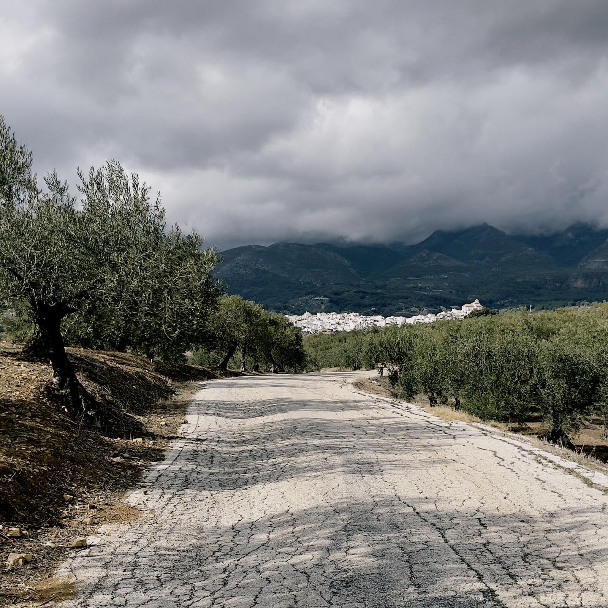
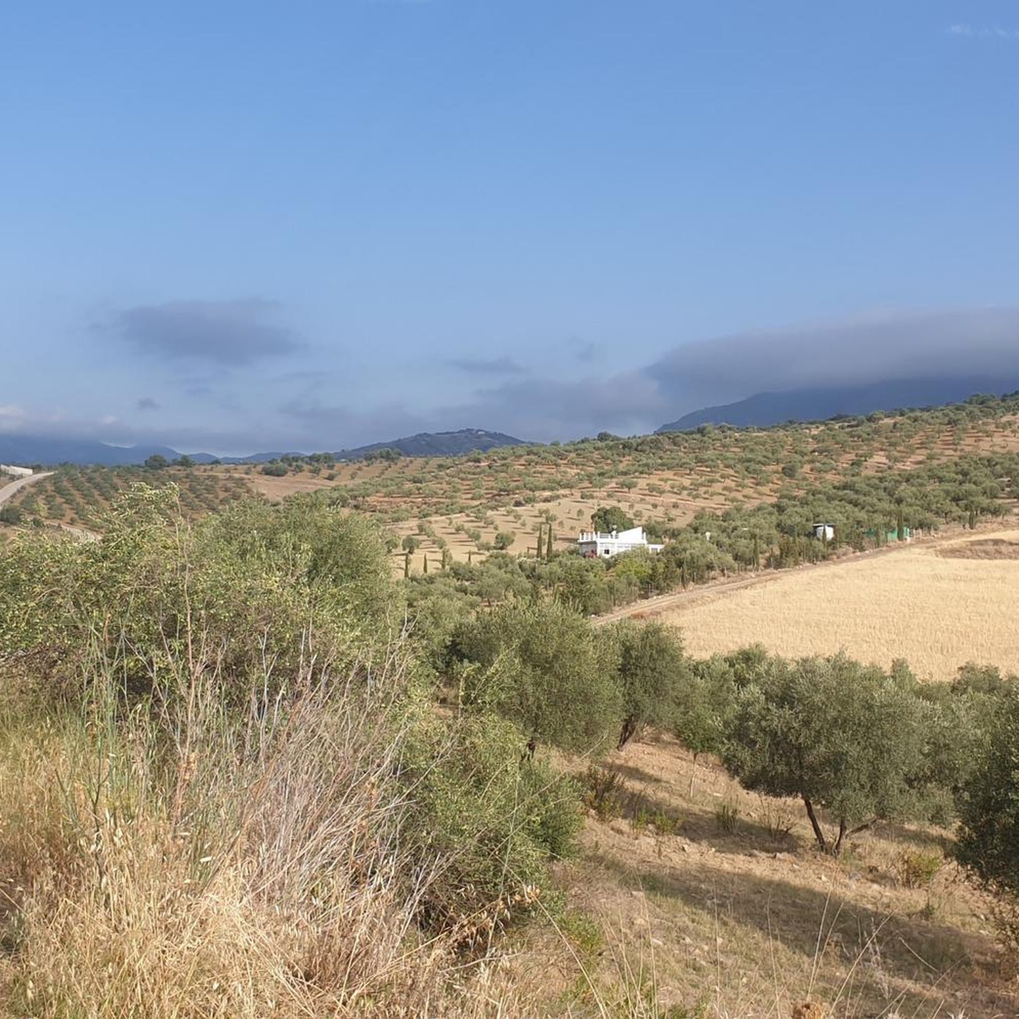
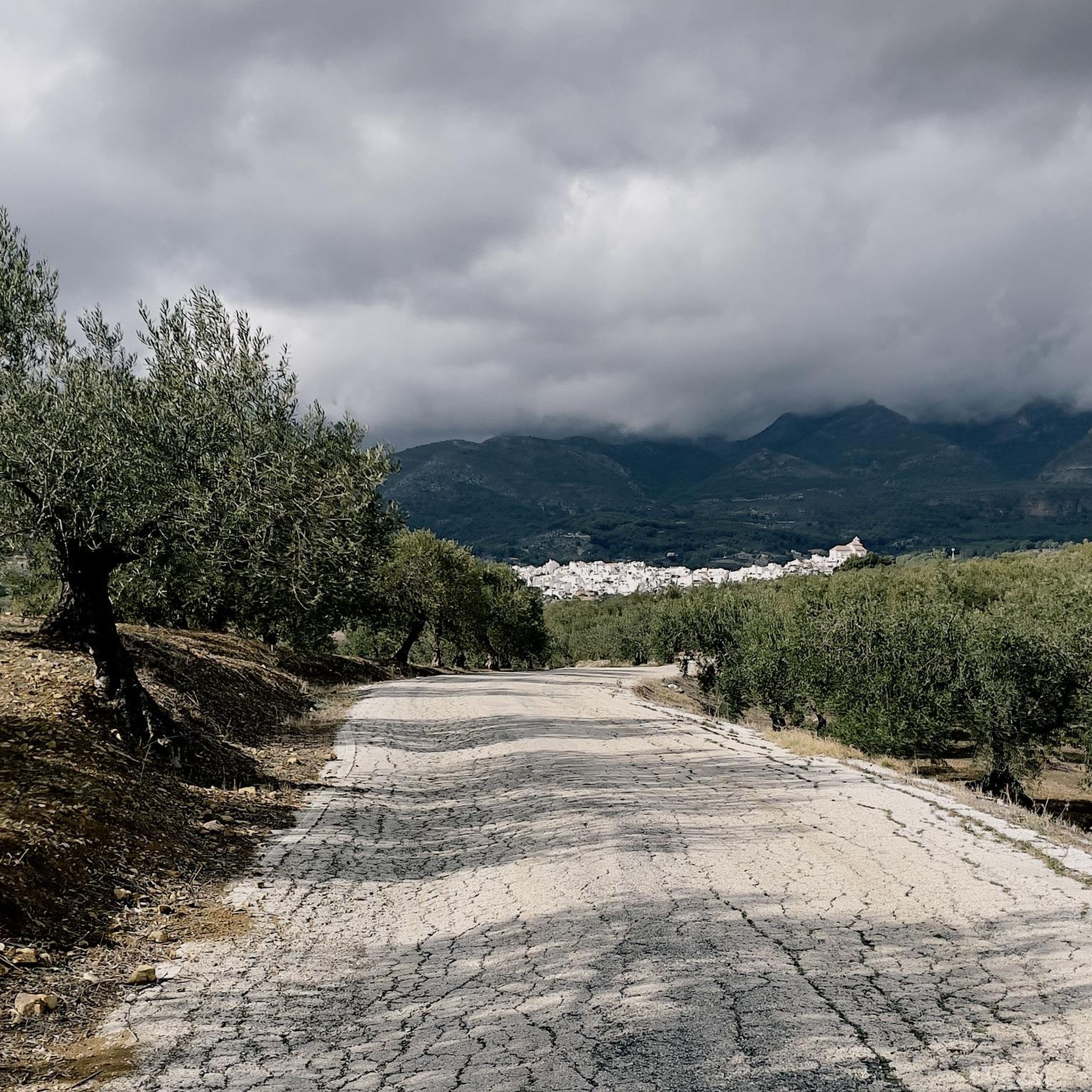
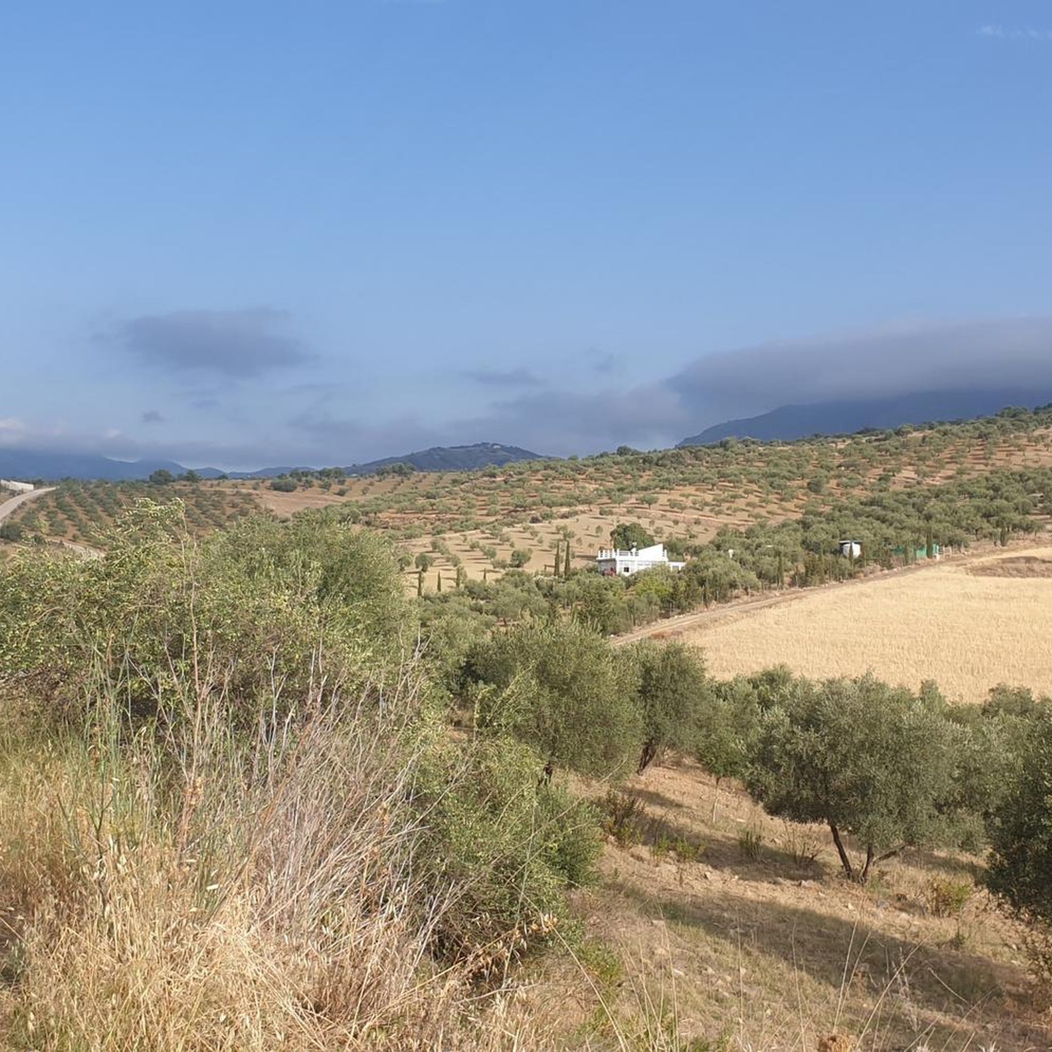
Hiking around Alozaina offers diverse terrain, situated between La Hoya de Málaga and the Sierra Prieta mountains. The region is characterized by its proximity to the Sierra de las Nieves National Park, a UNESCO Biosphere Reserve known for its unique geology and ancient pinsapo forests. Trails often follow the Río Grande valley and the picturesque Jorox River valley, featuring rocky canyons and fertile orchards.
Best hiking trails around Alozaina
- The most popular hiking route is Sierra Prieta – circular from Casarabonela via the Camino de la Dehesa and Senda de la Jácara (PR-A 270), a 8.9 miles (14.3 km) trail that takes 5 hours 36 minutes to complete. This difficult route offers significant ascents and panoramic views of the surrounding landscape.
- Another top favourite among local hikers is Trail along the creek – Charco de la Virgen Waterfall loop from Tolox, an easy 4.1 miles (6.6 km) path. This trail leads through the Jorox River valley, featuring the popular Charco de la Virgen Waterfall.
- Local hikers also love the Cave of Water – Candelabra Spanish Fir loop from Yunquera, a 8.4 miles (13.5 km) trail leading through ancient pinsapo forests, often completed in about 4 hours 22 minutes.
- Hiking around Alozaina is defined by mountainous terrain, river valleys, and ancient pinsapo forests within the Sierra de las Nieves National Park. The network offers options for families, beginners, and experienced hikers.
- The routes in Alozaina are highly rated by the komoot community with an average score of 4.5 stars from over 600 reviews. More than 2,700 hikers have used komoot to explore Alozaina's varied terrain.
Last updated: May 23, 2026
4.4
(34)
86
hikers
13.5km
04:22
600m
600m
Moderate hike. Good fitness required. Easily-accessible paths. Suitable for all skill levels.
4.5
(13)
38
hikers
10.3km
03:26
490m
500m
Moderate hike. Good fitness required. Easily-accessible paths. Suitable for all skill levels.

Sign up for free
4.1
(10)
22
hikers
10.6km
03:13
350m
350m
Moderate hike. Good fitness required. Easily-accessible paths. Suitable for all skill levels.
3.5
(2)
4
hikers
12.8km
05:06
830m
830m
Hard hike. Very good fitness required. Mostly accessible paths. Sure-footedness required.
5.0
(1)
17
hikers
9.19km
02:36
200m
200m
Moderate hike. Good fitness required. Easily-accessible paths. Suitable for all skill levels.
Get access to more routes and recommendations from other explorers.
Sign up for free
Already have an account?
Our route recommendations are based on thousands of hikes, rides, and runs completed by other people on komoot.
Start today with a free account
Your next adventure awaits.
Login or Signup

Tips from the Community

The path behind the power plant is closed.
0
0
This cave is on private land. How could this be sold to a private individual!!? Only option seems to climb the stupid gate at the end of the bridge.
0
0

The last hour to the summit is quite a scramble, where great care is needed. Possible more than expert walker. A good pair of gloves would very useful. Thank you to all the people who took time to pile the rocks to make way markers. Very helpful 👍
0
0

There is apparently a Pico de Jarro 1 and a Pico de Jarro 2. Both are worth it, the view from here is wonderful.
0
0

The San Pascual hydroelectric plant is located very close to the source of the Rio Grande. Its function is to take advantage of the force of the water, which falls from a considerable height, to generate electrical energy. You can take advantage of the gardens that surround it to take a break.
2
0
With less than 3,000 inhabitants, Yunquera is the most populated town in the Sierra de las Nieves region. This town of white houses is nestled in an incredible mountainous setting dotted with terraces with different crops. One of the biggest attractions in the area is the route of the source of the Rio Grande, also known as the "upwelling of Zarzalones".
2
0
The Saucillo pass is located at an altitude of 1,200 metres, and has a viewpoint that allows you to enjoy magnificent views of several Malaga mountain ranges and the coast. Framed in a setting dotted with pine trees, it is one of the gateways to the Torrecilla peak route.
3
0
Frequently Asked Questions
How many hiking trails are available around Alozaina?
There are over 110 hiking trails around Alozaina, offering a wide range of options for all skill levels. The komoot community has rated these routes with an average score of 4.5 stars, with over 2,700 hikers having explored the area using komoot.
What kind of terrain can I expect when hiking near Alozaina?
Hiking around Alozaina features diverse terrain, from the mountainous landscapes of Sierra Prieta to the picturesque river valleys like the Río Grande and Jorox. You'll encounter rocky canyons, fertile orchards, and ancient pinsapo (Spanish fir) forests, especially within the Sierra de las Nieves National Park.
Are there any waterfalls or significant natural features to see on hikes?
Yes, the region is home to several notable natural features. The Trail along the creek – Charco de la Virgen Waterfall loop from Tolox leads directly to the popular Charco de la Virgen Waterfall. You can also explore the Source of the Río Grande of Yunquera and the unique Candelabra Spanish Fir.
Are there family-friendly hiking options in Alozaina?
Yes, Alozaina offers a good selection of trails suitable for families. Many routes are well-signposted and cater to various skill levels, including easier strolls through the valleys. The region has 31 easy routes, perfect for a family outing.
What is the best time of year to go hiking in Alozaina?
The climate in Alozaina is generally fantastic, making autumn, winter, and spring ideal for hiking. During these seasons, you can expect mild temperatures and sunny skies, perfect for exploring the trails comfortably. Summer can be very hot, so early mornings or late afternoons are recommended if hiking during this time.
Are there any circular hiking routes available?
Yes, many trails around Alozaina are circular, offering varied experiences without retracing your steps. For example, the Sierra Prieta – circular from Casarabonela provides panoramic views, while the Cave of Water – Candelabra Spanish Fir loop from Yunquera takes you through ancient forests.
Where can I find panoramic views or viewpoints around Alozaina?
For breathtaking panoramic views, consider trails in the Sierra Prieta area, which offer significant ascents. Additionally, the Road section with views of the Sierra de las Nieves is a great spot. Within Alozaina itself, Mirador Park (Parque Mirador María Sagredo), built on the site of the old castle, provides incredible vistas of the surrounding natural landscape.
Is parking available for hikers in Alozaina?
Yes, parking is generally available in and around Alozaina, especially near trailheads or within the village itself. It's advisable to check specific route descriptions for detailed parking information, particularly for more remote starting points.
Do I need any permits to hike in the Sierra de las Nieves National Park?
While many trails within the Sierra de las Nieves National Park are freely accessible, certain protected areas or specific activities (like caving in Sima GESM) might require permits or prior authorization. It's always best to check the official Sierra de las Nieves National Park website for the most current regulations before your visit.
What do other hikers say about the trails in Alozaina?
The trails around Alozaina are highly rated by the komoot community, with an average score of 4.5 stars from over 600 reviews. Hikers often praise the diverse landscapes, the stunning views, and the well-maintained paths that cater to various skill levels.
Are there any historical or cultural attractions to explore in Alozaina?
Beyond its natural beauty, Alozaina boasts a rich history. You can explore archaeological remains, including Iberian tombs and a Mozarabic necropolis. The 18th-century Church of Santa Ana is an architectural gem, and the village itself is surrounded by picturesque 'white villages' of Arab origin, offering a glimpse into the region's multicultural roots.
What are some unique natural features in the Sierra de las Nieves National Park?
The Sierra de las Nieves National Park, a UNESCO Biosphere Reserve, is renowned for its unique geology and rich botanical diversity. It features significant areas of ancient pinsapo (Spanish fir) forests, often called a 'botanical relic.' The park also contains notable caves and sinkholes, including Sima GESM, one of the deepest in the world.
Most popular attractions around Alozaina

Get inspired with the komoot mobile app


Explore more
Browse the best Hikes in other regions.
