The best running trails around Bislicher Insel
4.6
(689)
11,659
runners
630
runs
Jogging around Bislicher Insel offers a network of routes through a distinctive natural landscape. The region is characterized by its position within the Rhine floodplains, featuring oxbow lakes, wetlands, and open fields, making it a significant nature reserve. These running trails provide varied terrain, from flat riverside paths to routes with gentle elevation gains, suitable for different fitness levels. Bislicher Insel jogging routes are generally well-maintained, providing accessible options for exploring the area's unique ecology.
Best jogging routes around Bislicher Insel
- The most popular jogging route is View of Xanten Cathedral – Philosophers' Island loop from NSG Fuerstenberg, an 11.2 miles (18.0 km) trail that takes 2 hours 2 minutes to complete. This route features diverse scenery, including views towards Xanten Cathedral and sections through the natural reserve.
- Another top favourite among local runners is Running loop from NSG Fuerstenberg, a moderate 5.9 miles (9.5 km) path. This route offers a compact running experience through the natural surroundings of NSG Fuerstenberg.
- Local runners also love the Altrhein loop from Xanten, a 7.9 miles (12.7 km) trail leading through the Altrhein landscape, often completed in about 1 hour 19 minutes.
- Jogging around Bislicher Insel is defined by its flat riverine landscapes, oxbow lakes, and nature reserve paths. The network offers options for easy, moderate, and difficult running experiences.
- The routes in Bislicher Insel are highly rated by the komoot community with an average score of 4.6 stars from over 600 reviews. More than 10,000 runners have used komoot to explore Bislicher Insel's varied terrain.
Last updated: July 4, 2026
5.0
(1)
44
runners
17.9km
02:02
200m
200m
Hard run. Very good fitness required. Mostly paved surfaces. Suitable for all skill levels.
10
runners
11.1km
01:14
120m
120m
Moderate run. Good fitness required. Mostly paved surfaces. Suitable for all skill levels.

Sign up for free
8
runners
6.64km
00:41
20m
20m
Moderate run. Good fitness required. Mostly paved surfaces. Suitable for all skill levels.
5.0
(1)
7
runners
Moderate run. Good fitness required. Mostly paved surfaces. Suitable for all skill levels.
9
runners
5.88km
00:38
50m
50m
Moderate run. Good fitness required. Mostly paved surfaces. Suitable for all skill levels.
Get access to more routes and recommendations from other explorers.
Sign up for free
Already have an account?
Our route recommendations are based on thousands of hikes, rides, and runs completed by other people on komoot.
Start today with a free account
Your next adventure awaits.
Login or Signup

Tips from the Community

The pond is located directly on the Philosophenweg.
0
0
The „Heeswald“ (often simply called „Die Hees“) is a popular, hilly forest area in Xanten-Birten. It is known for its historic hiking trails, extends to the Sonsbecker Schweiz, and holds the ruins of a former air force ammunition depot (Muna) from World War II.
0
0

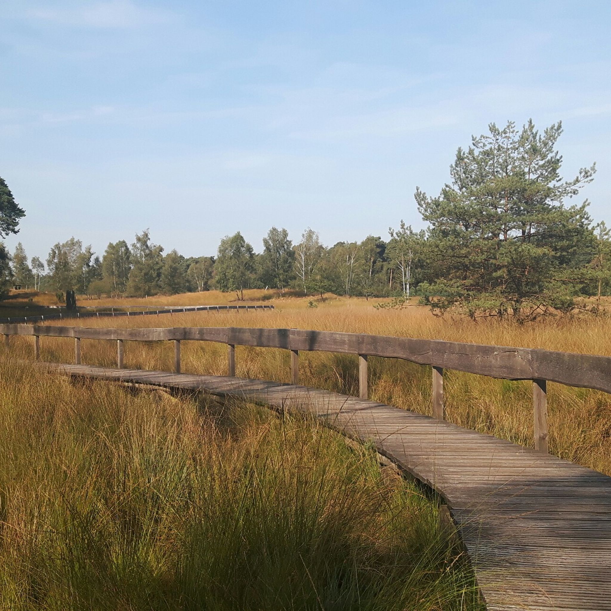
Beautiful fen in the middle of the forest.
1
0

In English, probably "Kolk Lake", see also https://de.wikipedia.org/wiki/Brack or https://www.kuladig.de/Objektansicht/KLD-261800
0
0

beautiful cycle path
0
0

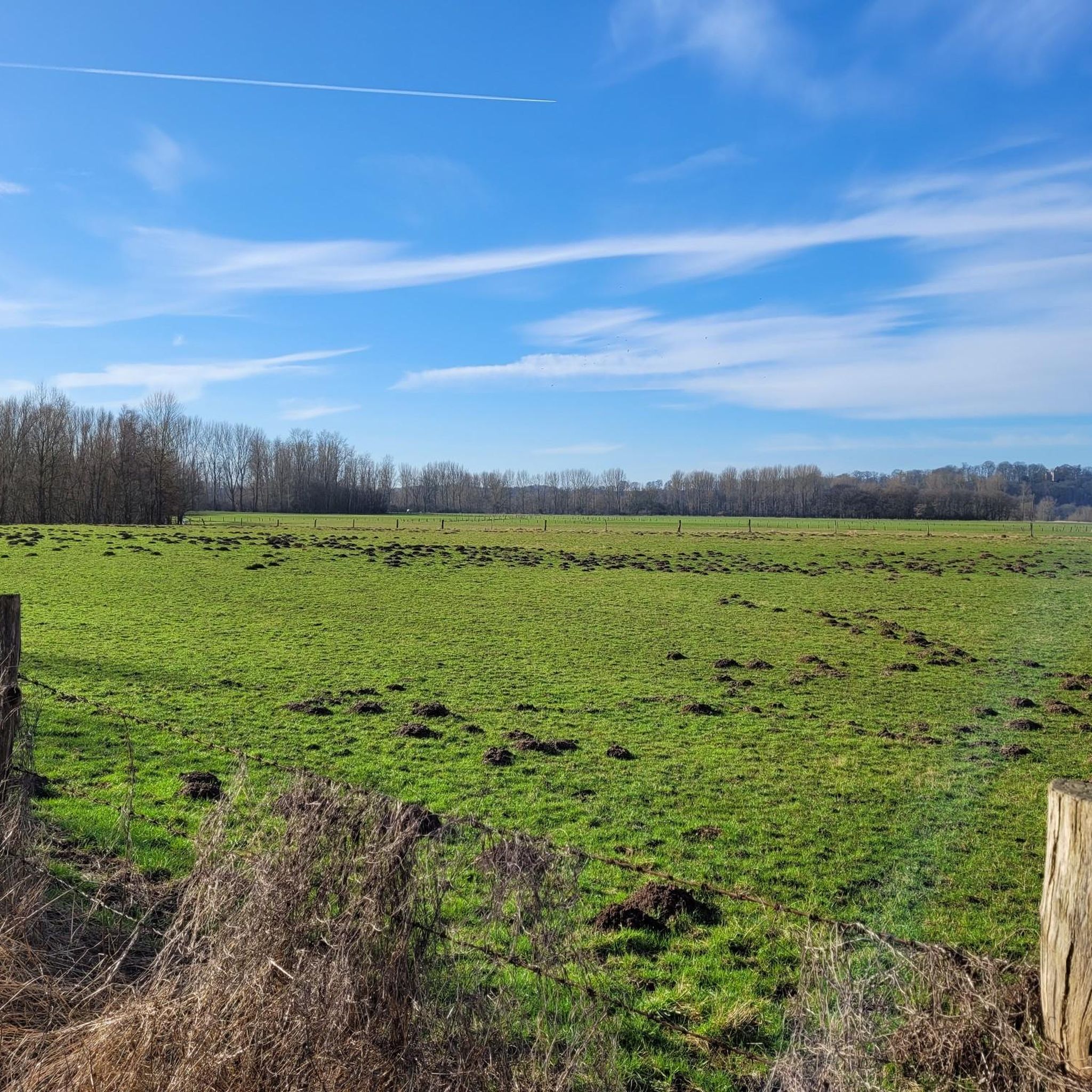
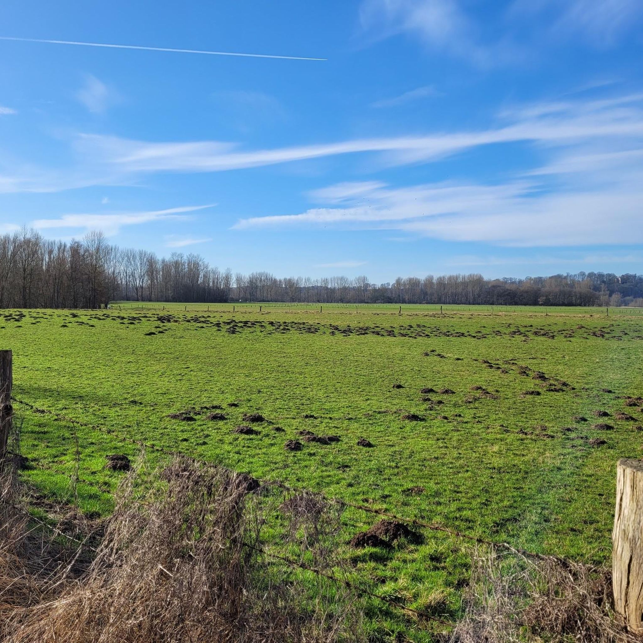
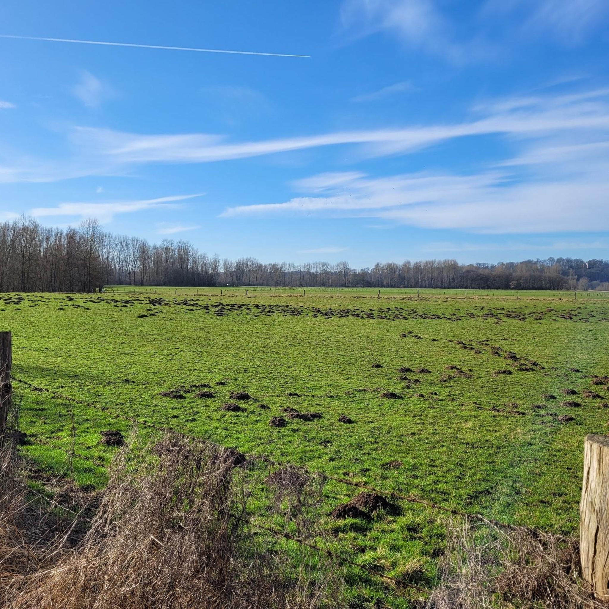
The Lower Rhine is a bird paradise and offers a diverse Rhine meadow landscape.
2
0

Very beautiful area, highly recommended. Please note, however, that the ferry (pedestrians and cyclists only) only runs on Wednesdays, Fridays, Saturdays, and Sundays/public holidays.
5
1

I honestly don't see it as a highlight for road bikers. Yes, it's always nice to cruise across the Rhine on a small ferry, and it's a short distance to the next bridge, but... I avoid taking the ferry with my road bike for two reasons: 1) The ferry is only open on certain days, even when excursions are expected. However, these very excursionists can sometimes lead to unpredictably long waits. I once stood in line here for over an hour. It's rather inconvenient if you don't need a break. 2) On the ferry itself, you're supposed to park your bike in a "Felgenbrecher" bike rack (see photos). Not something you'd want to do with expensive wheels. We've crossed here several times on the Hase Pino step tandem, and it was really nice. It's quite tight with the tandem, but it's manageable, and since the bike obviously doesn't fit in the Felgenbrecher, we've always been assigned a special spot. But I don't know if the ferry staff would be happy if a horde of racing cyclists all wanted special spots for their carbon rims...
0
0
Frequently Asked Questions
How many running routes are available in Bislicher Insel?
Bislicher Insel offers a wide selection of running routes, with over 600 trails available for exploration. This includes a variety of options suitable for different fitness levels.
What are the typical difficulty levels for jogging routes around Bislicher Insel?
The running routes in Bislicher Insel cater to various fitness levels. You'll find a good mix of easy, moderate, and difficult trails. Out of over 600 routes, approximately 100 are considered easy, over 450 are moderate, and about 70 are more challenging, offering diverse experiences for all runners.
Are there any circular running routes in Bislicher Insel?
Yes, many of the running routes in Bislicher Insel are circular, allowing you to start and finish at the same point. For example, the Running loop from NSG Fuerstenberg is a popular moderate circular option, and the Gothic Memorial Cross loop from Fürstenberg also provides a scenic loop.
What kind of natural attractions can I see along the running trails?
Bislicher Insel is a significant nature reserve, so you can expect to see diverse wildlife and landscapes. Highlights include the Bislicher Insel Nature Reserve itself, opportunities to spot water buffalo, and dedicated birdwatching areas. The region is characterized by its Rhine floodplains, oxbow lakes, and wetlands.
Are the running routes in Bislicher Insel suitable for families?
Many of the easier and moderate routes are suitable for families, especially those with older children. The flat terrain and well-maintained paths make for enjoyable outings. It's always a good idea to check the specific route details for distance and elevation before heading out with younger family members.
Can I bring my dog on the jogging trails in Bislicher Insel?
As Bislicher Insel is a nature reserve, dogs are generally welcome but must be kept on a leash to protect the local wildlife and environment. Always respect local signage and regulations regarding pets in protected areas.
What do other runners enjoy most about jogging in Bislicher Insel?
The area is highly rated by the komoot community, with an average score of 4.6 stars from over 600 reviews. Runners often praise the diverse scenery, from views towards Xanten Cathedral to the tranquil sections through the nature reserve, and the well-maintained paths that offer varied terrain.
What are the parking options for accessing the running routes?
Parking is available at various access points around Bislicher Insel, particularly near popular starting points for trails. Specific parking information can often be found on the individual route pages on komoot or local signage.
Is Bislicher Insel accessible by public transport for runners?
While direct public transport to every trailhead might be limited, some routes are accessible via public transport connections to nearby towns like Xanten. From there, you might need to walk or cycle a short distance to reach the starting points. Checking local bus schedules is recommended.
What are the best times of year to go running in Bislicher Insel?
Spring and autumn are generally considered the best times for running in Bislicher Insel, offering pleasant temperatures and beautiful natural scenery. Summer can also be enjoyable, especially in the mornings or evenings, but be prepared for warmer weather. Winter running is possible, but paths might be muddy or icy, especially in shaded areas or after rainfall.
Are there any cafes or refreshment stops near the running routes?
While Bislicher Insel is primarily a nature reserve, you may find cafes or restaurants in the nearby towns and villages, such as Xanten or Bislich, which are often a short drive or cycle away from the main trailheads. It's advisable to carry your own water and snacks, especially for longer runs.
Are there any routes suitable for beginner runners?
Yes, Bislicher Insel offers several easy routes perfect for beginners. These trails typically feature flat terrain and shorter distances, allowing new runners to enjoy the natural surroundings without excessive challenge. Look for routes marked as 'easy' on komoot.
What are the conditions like for running in Bislicher Insel during winter?
During winter, the running conditions can vary. Paths may be muddy, especially after rain or snowmelt, and some sections might become icy. While the landscape offers a unique beauty in winter, runners should wear appropriate footwear with good grip and layered clothing. Always check local weather conditions before heading out.
Most popular routes around Bislicher Insel
Most popular attractions around Bislicher Insel

Get inspired with the komoot mobile app


Explore more
Browse the best Running Trails & Routes in other regions.
