The best walks and hikes around Fago
4.6
(211)
2,115
hikers
19
hikes
Hiking around Fago offers diverse terrain characterized by mountainous landscapes, high-altitude lakes, and ancient geological formations. The region features a mix of challenging ascents and moderate paths, often winding through forested areas and open valleys. Hikers can explore trails that lead to significant natural landmarks and historical sites. The varied topography provides opportunities for different levels of outdoor activity.
Best hiking trails around Fago
- The most popular hiking route is Ibón de Acherito Loop, a 6.7 miles (10.9 km) trail that takes 4 hours 26 minutes to complete, circling a scenic mountain lake.
- Another top favourite among local hikers is Ibon de Acherito y Lac d'Ansabere – circular from Refugio de la Mina – Selva de Oza, a difficult 8.2 miles (13.2 km) path that connects two prominent lakes through forest.
- Local hikers also love the Dolmen de Aguas Tuertas – Achar of Aguas Tuertas loop from Comunero de Ansó y Hecho, a 4.7 miles (7.5 km) trail leading through a landscape featuring ancient megaliths, often completed in about 2 hours 20 minutes.
- Hiking around Fago is defined by mountain lakes, dense forests, and historical dolmens. The network offers options for different ability levels, from moderate loops to more challenging ascents.
- The routes in Fago are highly rated by the komoot community with an average score of 4.7 stars from over 200 reviews. More than 2000 hikers have used komoot to explore Fago's varied terrain.
Last updated: June 23, 2026
4.8
(63)
481
hikers
10.9km
04:27
650m
650m
Moderate hike. Good fitness required. Mostly accessible paths. Sure-footedness required.
4.0
(1)
2
hikers
13.2km
06:08
1,010m
1,010m
Hard hike. Very good fitness required. Sure-footedness, sturdy shoes and alpine experience required.

Sign up for free
4.9
(16)
230
hikers
Moderate hike. Good fitness required. Easily-accessible paths. Suitable for all skill levels.
4.9
(20)
177
hikers
Hard hike. Very good fitness required. Mostly accessible paths. Sure-footedness required.
4.4
(8)
123
hikers
8.28km
03:56
640m
640m
Moderate hike. Good fitness required. Mostly accessible paths. Sure-footedness required.
Get access to more routes and recommendations from other explorers.
Sign up for free
Already have an account?
Our route recommendations are based on thousands of hikes, rides, and runs completed by other people on komoot.
Start today with a free account
Your next adventure awaits.
Login or Signup
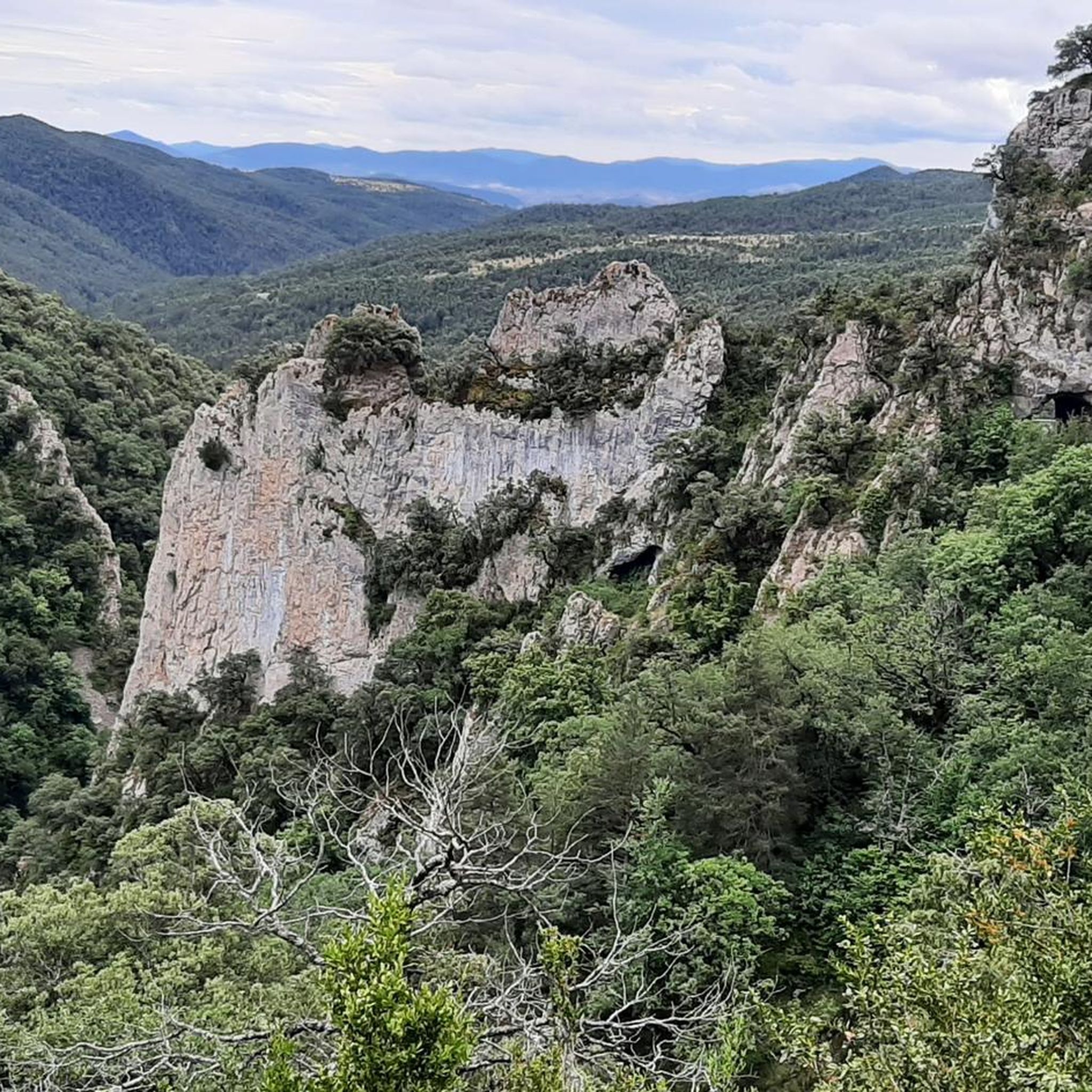
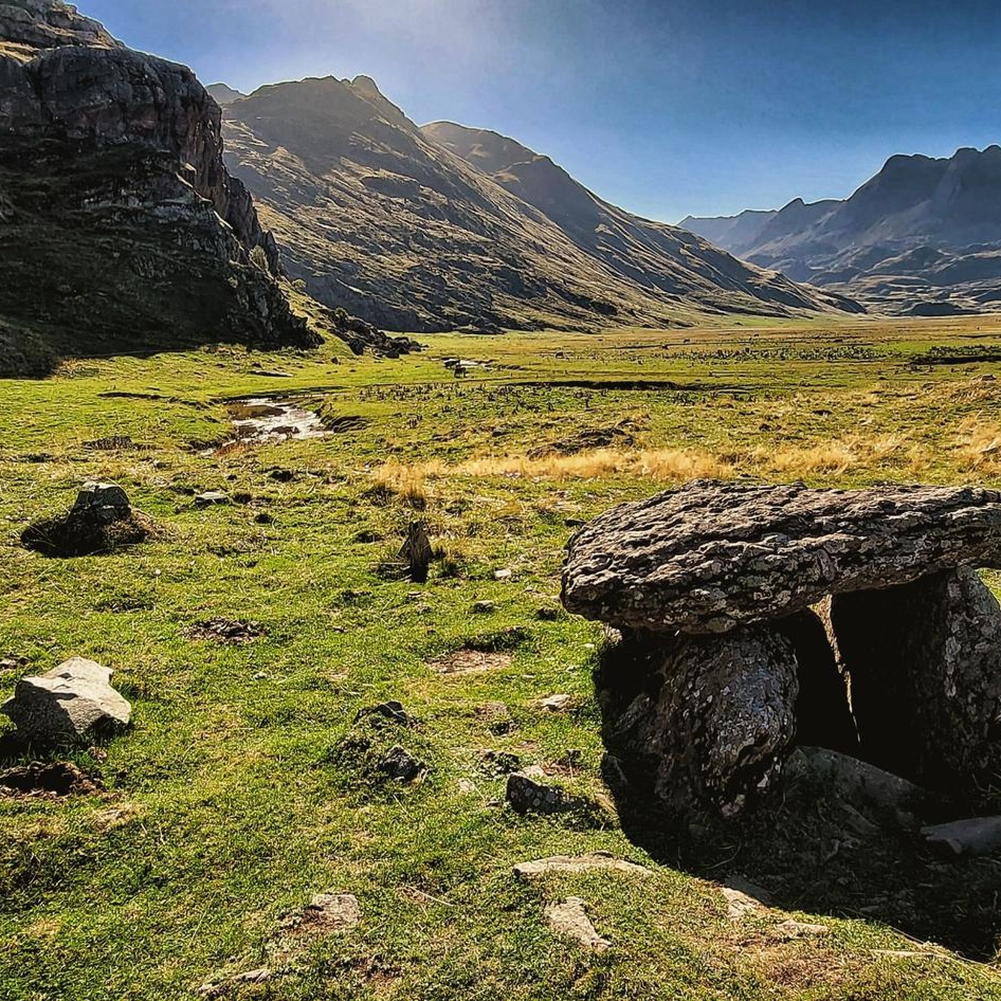
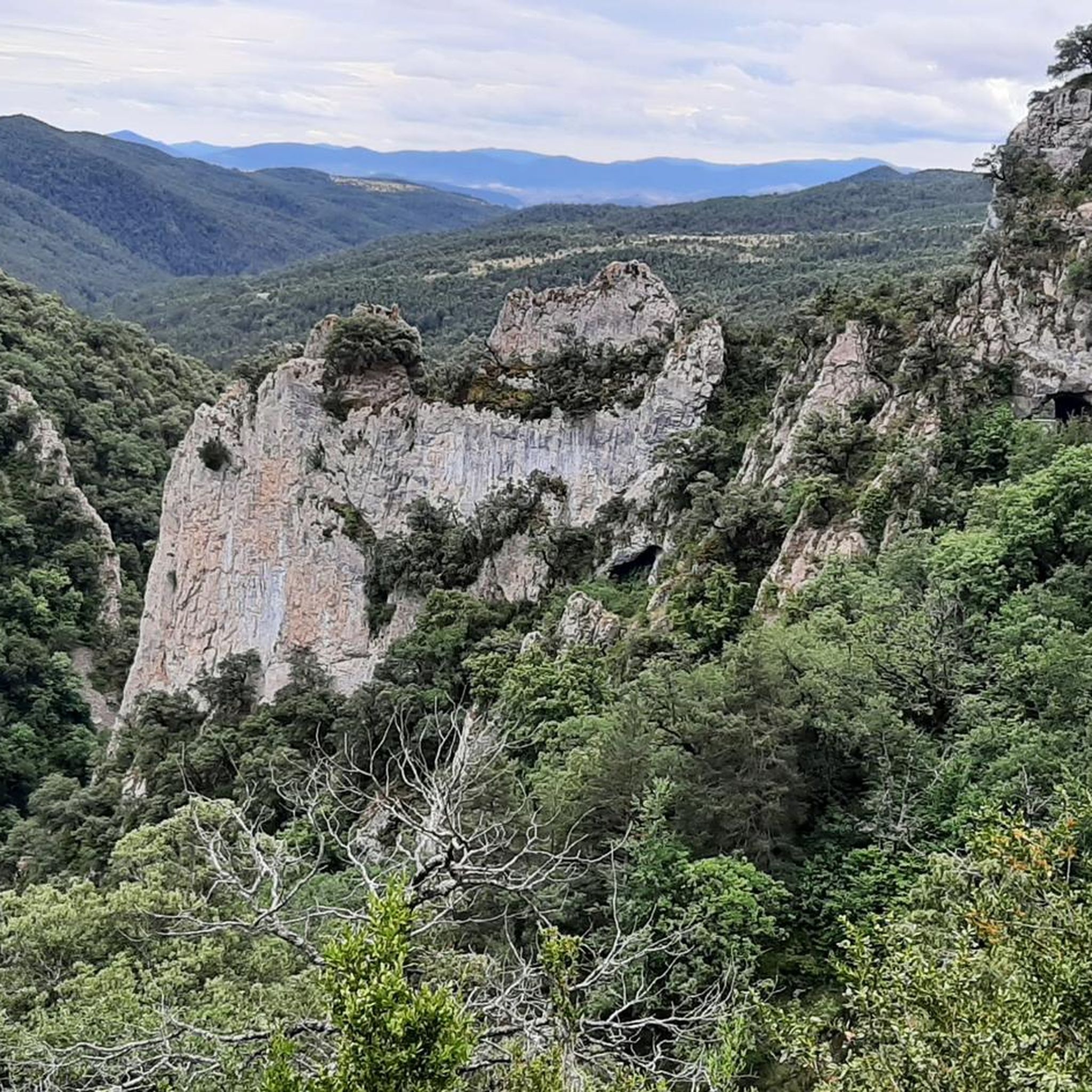
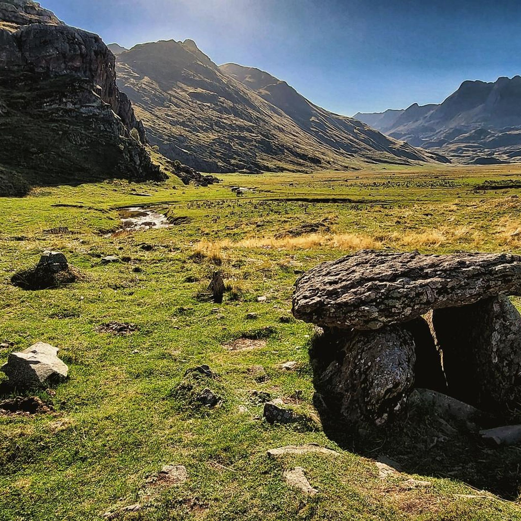

Tips from the Community

Good introductory hike... only about 200 meters in elevation, beautiful scenery.
0
0

Great view at the summit of Agua Tuertas pista. There is an unguarded shelter before the Agua Tuertas section in which you can rest for the night, with tables, chairs and even a cheminée.
0
0

A few steps from Spain, surrounded by the Aiguilles de Lescun, Lake Ansabère culminates at an altitude of 1,859 meters in a breathtaking setting!
1
0

From the Aguas Tuertas refuge there is a short path to this dolmen. The detour from the GR 11 is well worth it, as it is impressive to see this megalithic monument, one of the best preserved in the Aragón river valley, in such an overwhelming natural environment.
1
0

Charming lone lake. The westernmost of the Pyrenees. It is always worth a visit.
2
0

The valley that takes the road to the refuge of Aguas Tuertas, in its last meters, appears a zig-zag, with a slope, before reaching the refuge. Once there, the views towards both sides are spectacular, especially the Humedal de Aguas Tuertas where immense meanders occupy the foot of the valley.
0
0

During the summer months these types of cabins are reserved exclusively for shepherds. The rest of the year some can serve as improvised shelter if it gets late or the weather gets complicated.
0
0
This ibón, at 1,875 m above sea level, is the westernmost of the Pyrenees. A colony of Pyrenean newts with some endemic characteristics lives in it. All the Aragonese lakes are protected as they are included in the Inventory of Singular Wetlands, so any activity that could modify the quality of their waters is prohibited. While bathing is not specifically mentioned, it is understood that bathing with chemicals on the skin such as sunscreens, deodorants, perfumes or creams is negatively affecting the quality of the water, so it cannot be done. You can read the protection decree and the list of wetlands included here: http://www.boa.aragon.es/cgi-bin/EBOA/BRSCGI?CMD=VEROBJ&MLKOB=558856590404
4
0
Frequently Asked Questions
What kind of terrain can I expect when hiking in Fago?
Hiking around Fago offers diverse terrain, primarily characterized by mountainous landscapes, high-altitude lakes, and ancient geological formations. You'll find a mix of challenging ascents and moderate paths, often winding through dense forested areas and open valleys. The region's topography provides varied experiences, from rugged mountain trails to serene lakeside walks.
Are there any easy or moderate hiking options in Fago?
Yes, Fago offers a range of trails suitable for different abilities. While there are challenging ascents, you can find moderate loops like the Ibón de Acherito Loop, which is 6.7 miles (10.9 km) and takes about 4 hours 26 minutes, circling a scenic mountain lake. Another moderate option is the Dolmen de Aguas Tuertas – Achar of Aguas Tuertas loop, a 4.7 miles (7.5 km) trail through ancient megaliths.
What are some challenging hikes available in Fago?
For those seeking a challenge, Fago has several difficult routes. The Ibon de Acherito y Lac d'Ansabere – circular from Refugio de la Mina – Selva de Oza is a difficult 8.2 miles (13.2 km) path connecting two prominent lakes through forest. Another demanding option is the Achar of Aguas Tuertas – Dolmen de Aguas Tuertas loop, covering 17.6 km with significant elevation gain.
What natural features or landmarks can I see along the trails in Fago?
Fago's trails lead to several notable natural features and historical landmarks. You can explore stunning high-altitude lakes such as Ibón de Acherito, Estanés Lake, and Lake Ansabère. The region is also home to ancient megaliths, like those found along the Dolmen de Aguas Tuertas route.
Are there any circular hiking routes in Fago?
Yes, Fago offers several excellent circular routes. The Ibón de Acherito Loop is a popular circular trail around a mountain lake. Another option is the Dolmen de Aguas Tuertas – Achar of Aguas Tuertas loop, which takes you through a landscape featuring ancient megaliths.
What do other hikers say about the trails in Fago?
The routes in Fago are highly rated by the komoot community, with an average score of 4.7 stars from over 200 reviews. Hikers often praise the region's stunning mountain lakes, dense forests, and the unique experience of encountering historical dolmens.
Are there any huts or refuges available for hikers in Fago?
Yes, for those looking for amenities or overnight stays, there are several huts and refuges in the Fago area. Notable options include the Ansabère Huts, Lizara Refuge, and Gabardito Refuge. These can provide a welcome break or a place to rest during longer treks.
What is the best time of year to go hiking in Fago?
Given Fago's mountainous terrain and high-altitude lakes, the best time for hiking is typically from late spring through early autumn (May to October). During these months, the weather is generally more stable, and trails are clear of snow, offering optimal conditions for exploration. Always check local weather forecasts before heading out.
How many hiking trails are there in Fago?
There are over 20 hiking routes available in Fago, ranging from moderate to difficult. This variety ensures options for different skill levels and preferences, allowing you to explore the region's diverse landscapes.
Are there any long-distance hiking options in Fago?
Yes, for those looking for longer adventures, Fago offers more extensive routes. For example, the Dolmen de Aguas Tuertas – Achar of Aguas Tuertas loop from GR11 & GR65.3.3 is a difficult 27.6 km trail, providing a significant challenge and a deeper immersion into the region's landscapes.
What kind of wildlife might I encounter while hiking in Fago?
While specific wildlife sightings can vary, mountainous regions like Fago are often home to diverse fauna. Hikers might spot various bird species, including raptors, and potentially encounter mountain goats or deer in quieter areas. Always observe wildlife from a respectful distance.
Most popular attractions around Fago

Get inspired with the komoot mobile app


Explore more
Browse the best Hikes in other regions.
