The best cycling routes around Gallegos De Altamiros
22
riders
3
rides
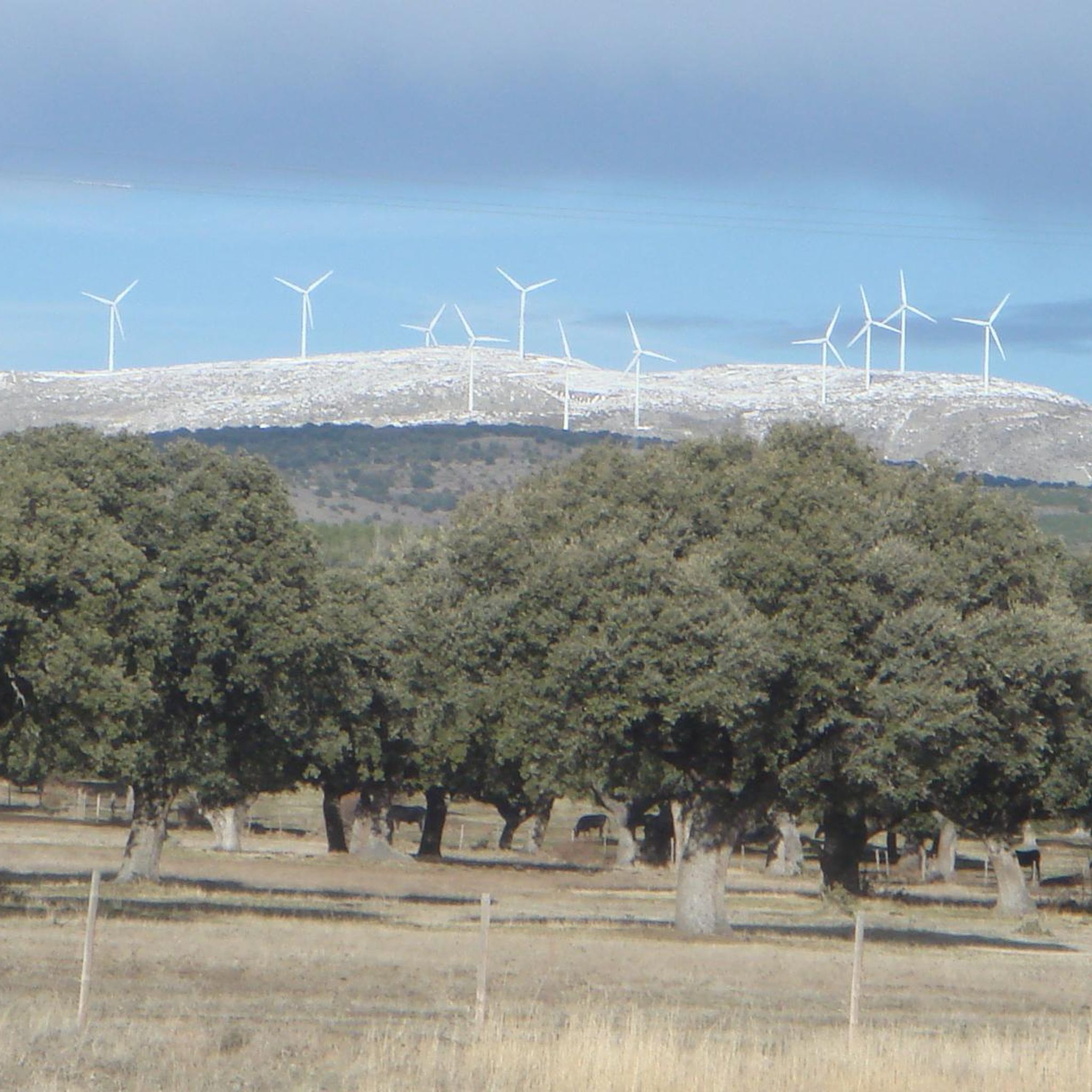
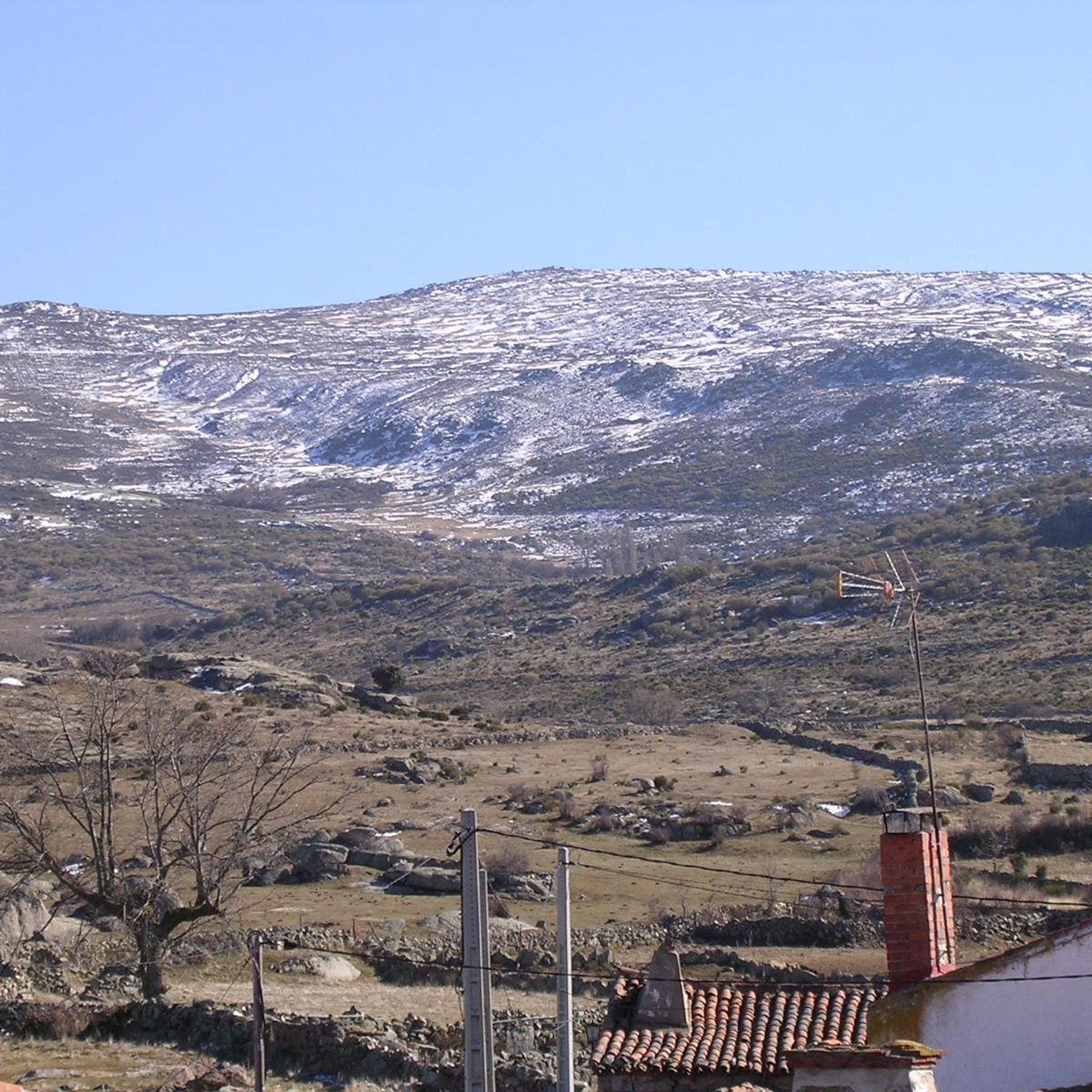
Touring cycling around Gallegos De Altamiros is characterized by its distinctive landscapes at the edge of the Sierra de Ávila, transitioning into the high plains of La Moraña. The terrain features extensive granite formations, often referred to as "berrocales," with large, eroded granite blocks and "piedras caballeras." Situated at an altitude of 1255 meters, the area offers consistent elevation changes and expansive views across the Sierra de Ávila. Historical transhumance routes, such as the Cañada Soriana Occidental and Cañada Leonesa…
Last updated: July 2, 2026
8
riders
45.1km
04:12
500m
500m
Hard bike ride. Very good fitness required. Mostly paved surfaces. Suitable for all skill levels.
4
riders
27.8km
02:06
340m
340m
Moderate bike ride. Good fitness required. Mostly paved surfaces. Suitable for all skill levels.

Sign up for free
2
riders
16.9km
01:19
70m
70m
Easy bike ride. Great for any fitness level. Mostly paved surfaces. Suitable for all skill levels.
3
riders
49.5km
04:28
690m
690m
Hard bike ride. Very good fitness required. You may need to push your bike for some segments of this route.
2
riders
23.5km
02:18
620m
610m
Hard bike ride. Very good fitness required. Mostly paved surfaces. Suitable for all skill levels.
Our route recommendations are based on thousands of hikes, rides, and runs completed by other people on komoot.
Start today with a free account
Your next adventure awaits.
Login or Signup
Popular around Gallegos De Altamiros
Tips from the Community

Aveinte, a name with historical roots, has a fascinating legend dating back to ancient times. Many centuries ago, at the dawn of the Middle Ages, there was a small town in what we know today as Aveinte. The inhabitants of this place were simple people, dedicated mainly to agriculture and livestock. They lived in harmony with nature and worshiped the gods of the earth and sky. One day, during a time of drought and scarcity, the locals gathered in the town square to pray for rain and good harvests. The wise old man of the place, known as Adventius, led the ceremony. With his wrinkled hands and deep voice, he spoke words of supplication to heaven. Legend has it that, at that crucial moment, a mysterious figure appeared among the clouds. He was a luminous being, dressed in white robes and silver hair. The villagers were amazed and knelt before this heavenly presence. The being addressed Adventius and spoke to him in an ancient language that only he understood. “For your devotion and the faith of your people, I will grant a blessing,” he said. “From now on, every twenty years, the waters of the river that runs through Aveinte will overflow, fertilizing the land and ensuring abundant harvests.” Thus the name Aveinte was born, which means “advent” or “arrival” in honor of the heavenly visit. Since then, every twenty years, the river overflows and renews the earth, fulfilling the promise of the luminous being. The inhabitants of Aveinte keep this tradition alive and celebrate “Aveinte” with joy and gratitude. The legend has been passed down from generation to generation, and the town's name remains a reminder of its connection to the divine and renewed hope. So, when you walk through the cobblestone streets of Aveinte, remember this story and the magic that surrounds its name. 🌟🏡
2
0

Rounded mountain range that is easily accessible from several towns. From the geodesic vertex there are impressive front-row views of the Sierra de la Paramera, La Serrota, the Amblés valley to the south and all of La Moraña to the north.
1
0
Small town located in a flat area between the cities between Ávila and Salamanca. Its church, that of Santo Tomas apostol, is one of the most important elements of the nucleus.
1
0
Small town that is located in what is called the Valle de Amblés and that is a few kilometers from its capital, Ávila. From the core, you can begin to see the first forms of the Sierra de Paramera and Gredos.
0
0
Small town located between Ávila and Salamanca, and located on a vast plain far from the south of the province which is much more mountainous.
0
1
Practically flat road that goes from Villaflor to San Pedro del Arroyo, it does not reach 5 km.
11
0
Frequently Asked Questions
What kind of unique landscapes will I encounter while touring cycling around Gallegos de Altamiros?
The area is known for its distinctive and hard-but-spectacular landscape, dominated by granite formations often called "petrified forests" or "berrocales." You'll see enormous, eroded granite blocks and "piedras caballeras" (large, balanced rocks). The high altitude of 1255 meters also provides expansive views across the Sierra de Ávila and towards the plains of La Moraña.
Are there touring cycling routes suitable for beginners or those looking for an easier ride?
Yes, there are options for various skill levels. For an easier ride, consider the Bike loop from Padiernos, which is 13.9 miles (22.3 km) long and leads through the granite landscape. Another easy option is the Bike loop from San Pedro del Arroyo, covering 17.0 miles (27.4 km).
What historical or cultural points of interest can I explore along the touring cycling routes?
The region is rich in history. You can visit the Hermitage of Our Lady of Rihondo, a significant religious site located about 3 km west of Gallegos de Altamiros. The Hill fort of La Mesa de la Miranda, an ancient site, is also just 4 km northwest. Additionally, the routes often follow historic transhumance paths like the Cañada Soriana Occidental and Cañada Leonesa Occidental, offering a journey through time.
Are there any moderate touring cycling routes in the area?
Yes, for a moderate challenge, the Muñogalindo – Oco Village Water Pond loop from Muñogalindo is a great choice. This 17.3 miles (27.8 km) path takes you through varied terrain, passing by a charming village water pond.
What do other touring cyclists say about the routes around Gallegos de Altamiros?
The touring cycling routes in Gallegos de Altamiros are highly regarded by the komoot community, boasting an average rating of 5.0 stars from over 1 review. Cyclists appreciate the unique granite landscapes and the serene atmosphere of the area.
Can I find circular touring cycling routes in Gallegos de Altamiros?
Yes, many of the touring cycling routes in the area are designed as loops, allowing you to start and finish in the same location. Examples include the Bike loop from Padiernos and the Muñogalindo – Oco Village Water Pond loop from Muñogalindo.
What are the most challenging touring cycling routes available?
For experienced cyclists seeking a challenge, the area offers routes with significant elevation gain. The Convento de San José – Ávila Cathedral loop from Estación de Ávila is a difficult 39.9 miles (64.1 km) trail connecting historical sites. Another demanding option is the Convento de San José – Ávila Cathedral loop from Ávila, which covers 33.4 miles (53.7 km) with considerable climbing.
Are there any villages or settlements I can visit along the routes for a break?
Absolutely. The villages in the area, including Gallegos de Altamiros itself and Muñogalindo, have medieval origins and feature well-preserved traditional architecture. They offer tranquil stopping points to rest, enjoy the local charm, and perhaps see unique features like houses with distinctive chimneys.
What is the best time of year for touring cycling in Gallegos de Altamiros?
Given its altitude of 1255 meters, the area can be quite serene. Spring and autumn generally offer the most pleasant temperatures for cycling, avoiding the potential heat of summer and the colder conditions of winter. Clear days provide extraordinary long-distance visibility, enhancing the scenic experience.
Are there any specific natural features to look out for while cycling?
Beyond the granite formations, keep an eye out for the sparse holm oaks (encinas) that thrive amidst the rocky outcrops. The area also features an intersection of historic transhumance routes, which are natural pathways with cultural significance. While streams are generally insignificant and may dry up in summer, the overall rocky, high-plain environment is a unique natural spectacle.
How many touring cycling routes are available in the Gallegos de Altamiros area?
There are at least 5 touring cycling routes documented around Gallegos de Altamiros, offering a variety of distances and difficulty levels to explore the region's unique landscapes.
Most popular routes around Gallegos De Altamiros
Most popular attractions around Gallegos De Altamiros

Get inspired with the komoot mobile app


Explore more
Browse the best Cycling routes in other regions.
